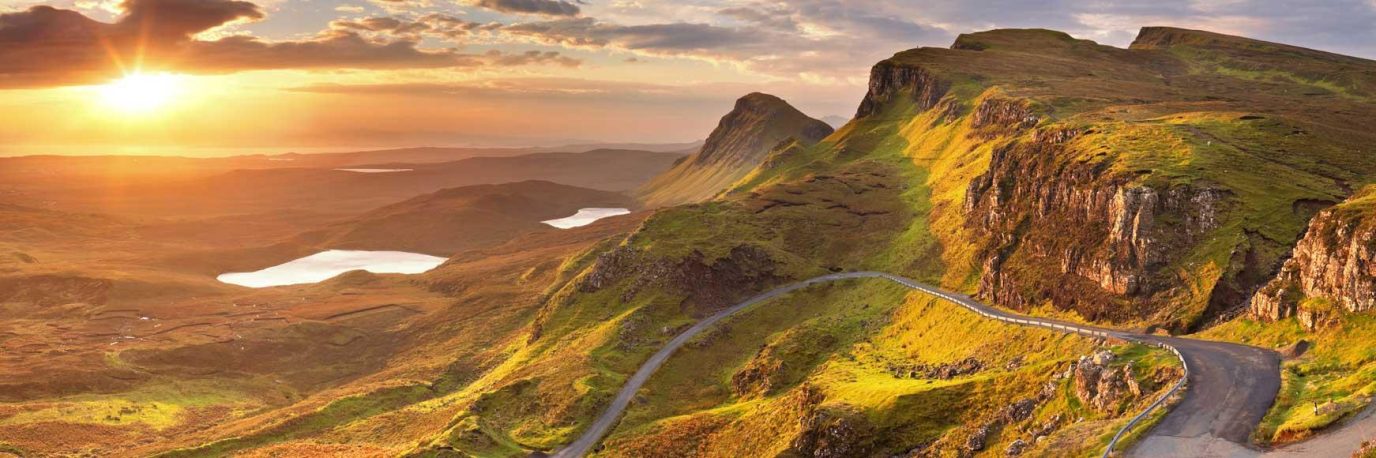
Getting started with GPX files – A guide for walkers
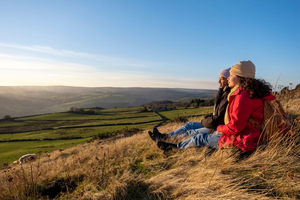
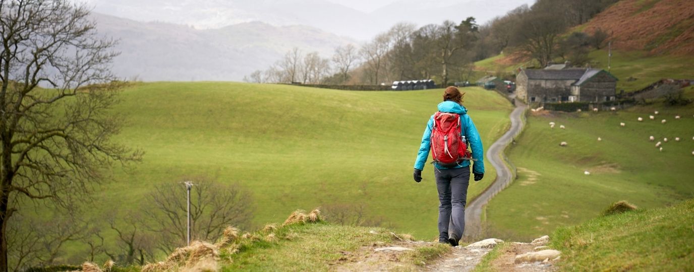
Whether you’re planning your own walking adventure or downloading a ready-made route, GPX files are your best friend when navigating the great outdoors.
In this guide, we’ll walk you through what GPX files are, how to use them with OS Maps (both app and desktop), and how to transfer them to a GPS unit or GPS watch.
1. What is a .gpx file?
A GPX file (short for GPS Exchange Format) is a universal file type that stores location data like routes, tracks, and waypoints. It can be created manually using mapping tools like the OS Maps app or generated automatically when recording a walk on a GPS device.
These files use GPS coordinates to plot –
- Waypoints – Specific points of interest (like a summit or viewpoint)
- Routes – A series of waypoints connected to guide your journey
- Tracks – A breadcrumb trail of where you’ve walked, often automatically recorded by a GPS unit
The beauty of GPX files is their flexibility, they can be opened, edited, and shared across a variety of platforms and devices. Whether you’re using the Ordnance Survey app, a Garmin GPS unit, or planning online, GPX files help keep you on track.
2. Recommended Websites to Find GPX Files
Every route created on the OS Maps App has a downloadable GPX File available for premium members. Just one of the many benefits to the paid for version of OS Maps.
There are many reputable websites offering free (and often user-tested) GPX downloads. Here are a few we have found useful –
Where to find GPX Files for Long Distance Trails – recommended websites
- National Trails – Official GPX files for all UK national trails
- Saturday Walkers Club – Detailed London and Southeast routes
- The Walking Englishman – Popular for well-annotated long-distance walks
- GPS Routes – A large archive of both walking and cycling routes
- GPX Library (GPS Training) – Members’ library of handpicked routes
Where to find GPX Files for Day Walks – recommended websites
- Walk Highlands – Fantastic for exploring Scotland
- Walking World – Extensive library, includes maps and GPX
- Harold Street – A classic resource for hillwalkers
3. If downloading from third-party websites, bear this in mind
Not all GPX files are created equal. Before heading out, it’s worth checking:
Route: A planned line made up of waypoints. Often gives directions or turns but may not follow exact paths on the ground.
Track: A recording of someone’s actual walk, giving a more accurate path. Useful if you want to follow exactly in their footsteps.
Course: Often used for sports/fitness GPS watches, these can have pace or heart rate targets. Not always ideal for leisure walking.
Has the file been tested or reviewed?
Does the route fit your experience level and conditions?
Is the start/end accessible by you, if you start and finishing point are too close together your GPS watch/ GPS unit can get a little confused?
Limitations – Some devices have limits on the number of route points or tracks they can store. GPX files with thousands of points may need simplifying (many apps can do this automatically).
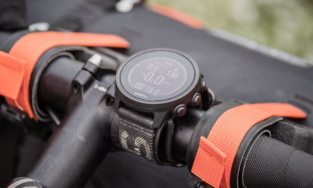
4. How to Transfer GPX Files to Your GPS Unit or GPS Watch
Once you’ve got your GPX file, it’s time to get it on your device. Here’s how –
Using Your GPS Brand’s App
Most GPS watches or units come with a companion app or desktop software:
- Garmin: Use Garmin Connect or Garmin Explore
- Suunto: Use Suunto App
- TwoNav: Use Land or Link App
- Satmap: Use Satsync
In most cases:
- Import the GPX file into the app or software
- Sync your device, the route or track will appear on the unit
Using a USB Cable, often used for GPS units as not all use apps
If you’re working from a desktop:
- Plug in your GPS device via USB
- Open the device storage like a USB stick
- Copy the GPX file into the appropriate folder (e.g. /Garmin/NewFiles or /Satmap/Routes)
- Eject the device and check that the file appears under your routes or tracks
With OS Maps (Mobile & Desktop)
You can import and use GPX files directly in OS Maps:
- Desktop: Login > My Routes > Import a GPX file
- Mobile App: Open ‘Routes’ tab > Tap ‘+’ > ‘Import GPX’
Once imported, the route is available offline and can be followed with real-time tracking on the OS Maps app.
Top Tip:
Always double-check the GPX file before heading out, especially if it’s from a third-party site. Make sure it suits your ability, timeframe, and access points. And don’t forget to carry a paper map as backup!
5. Time to get started with GPX files
GPX files might sound technical at first, but they’re simply a digital way to plan, share, and follow routes, putting you in full control of your outdoor adventures.
Whether you’re mapping out a personal challenge, following in someone else’s footsteps, or just discovering a new place with confidence, GPX files help you make the most of every walk.
Combined with tools like OS Maps and a GPS device or watch, you can explore further, stay safe, and enjoy the countryside with added peace of mind. So go on, download a route, load it up, and step outside with confidence. Your next great walk is waiting.
Want to Learn More?
If you’re new to GPX files, GPS devices, or outdoor navigation, GPS Training is here to help.
As the UK’s leading specialist in outdoor GPS, we offer honest advice, hands-on training, and a wide range of GPS units and watches to suit every type of walker.
Whether you’re looking to boost your confidence, get the most from your device, or plan your next adventure, visit www.gpstraining.co.uk to find guides, videos, and expert support.
Navigating with confidence: How a GPS empowers older walkers, solo hikers and women
Do you need a GPS device? Find out how a GPS empowers older walkers, solo hikers and women – enabling them to explore with more confidence
Beginners guide to choosing a GPS device
Would you like to use a walking, running or cycling GPS device to make your outdoor activities easier, safer or more fun but don’t know where to start? This GPS guide looks at different features and functions to help you choose a GPS device most suited to you.
Advice from Mountain Rescue
Mountain Rescue England and Wales share their expert advice to help you stay safe outdoors. Find out how to plan ahead, stay safe on the hills and how to call Mountain Rescue in an emergency.
By Jon Monks – GPS Training
Jon Monks is the manager of GPS Training. Based in Northumberland, in the North East of England GPS training is the largest independent retailer of Outdoor GPS units and also the largest GPS trainer in the country, delivering courses nationwide as well as online.