Features and functions of a GPS device
Would you like to use a walking, running or cycling GPS device to make your outdoor activities easier, safer or more fun but don’t know where to start? This GPS guide looks at different features and functions to help you choose a GPS device most suited to you.
GPS devices have become incredibly common. Almost all phones have them, and even your watch might have a GPS chip built in. They can be used for checking your position, following a pre-defined route and automatically recording your activities.
Here’s the Ordnance Survey guide to choosing a handheld GPS device for outdoor activities. It’s pretty big so we are going start with whether you need a GPS and what you can use it for, then go on to look at some of the technology.
Do I need a GPS device or can I just use my phone?
All new smartphones come with GPS functions, and most have at least one mapping app built in. If you already own a phone or tablet, these can be a cheap way to get a GPS device, with the bonus of not having to carry an additional piece of equipment. They generally sport cameras, compasses and other add-ons that can make them an attractive option.
Mapping apps
There are many mapping apps available. For outdoor use, you need to find one that has ‘offline mapping’. This means the maps can be saved to the device, and work even with no phone signal (see ‘How does GPS work’). Our own OS Maps app offers this to Premium users. Without ‘offline maps’ you may find you lose the map when in remote locations with no data signal – precisely when you most need it.
Make sure you download the maps that you need while you have a data or WiFi connection. One way to test the app is to turn off all data (or turn on airplane mode) and see if the map still works as expected.
Some mapping apps offer caching, where the map can be opened where you have a data connection and is then stored temporarily on the device, but these can be unreliable if you move off the edge of the cached area, or restart the app.
You need to also pick an app with the right mapping available – see ‘What maps do I need’ below.
Durability
One drawback with smartphones or tablets is that only some are designed to be weatherproof and shock proof. The simplest solution is keeping them in a waterproof pouch, ensuring you can still see the screen and operate the controls. You may also want to consider adding a case or other protection from knocks or drops.
Capacitive touch screens used on phones do not like heavy rain, even in a waterproof case. Each drop can register as a finger touch, creating all sorts of odd reactions. If you are likely to be using it in rain it can be a frustrating experience.
How does GPS work?
GPS works by receiving a signal from a satellite in orbit. By measuring the precise distance to at least five different satellites, the device can work out exactly where you are.
As it’s receive only, and the satellites orbit the whole planet, you can get a GPS position almost anywhere, and you do not need a mobile phone signal. However, the signal is weak, and can be blocked by tall buildings, cliffs or tree cover. For the best chance of getting an accurate location, ensure you can see as much of the sky as possible.
Consumer grade GPS is accurate to about 15m in ideal conditions. This is close enough for most uses, but for survey work more accurate commercial GPS hardware is available.
Battery life
GPS functions use quite a lot of additional power, especially if you are using route recording, which reduces battery life considerably. Most tablets or smartphones do not have easily replaceable batteries so bring an external power bank or some other means of recharging. Your phone is also your emergency call device, so you do not want to be stranded with no GPS and no phone when the power dies, or it gets damaged. Think about someone in your group carrying a spare, fully charged phone for emergencies.
What do you need a GPS device for?
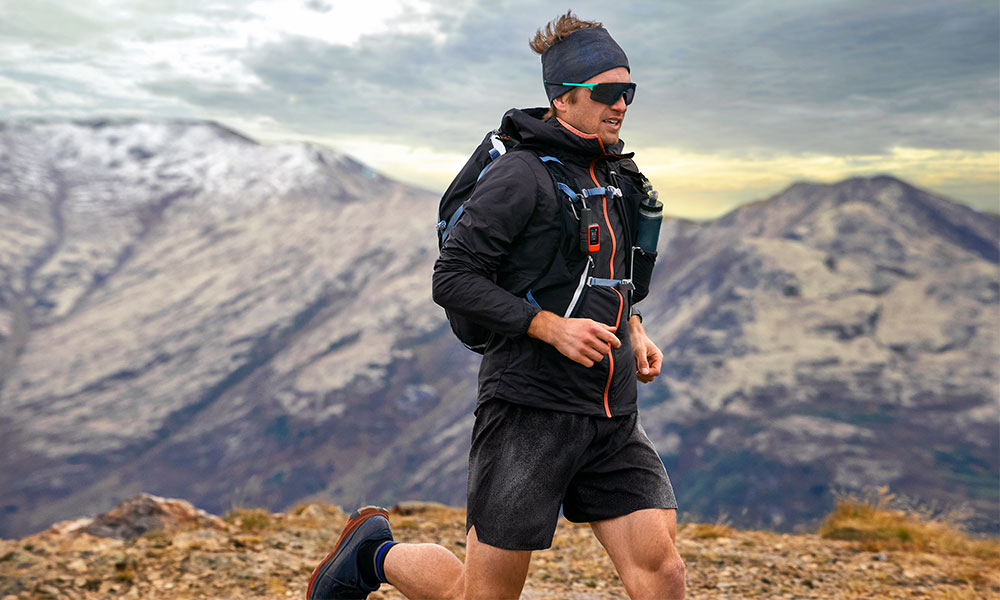
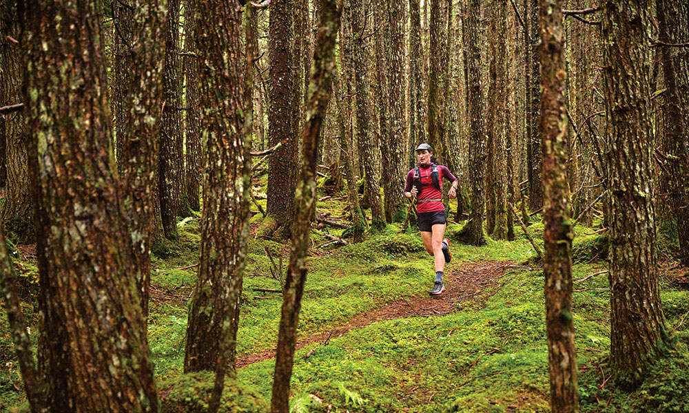
The first thing to decide is what you need to use the device for. You get GPS devices specifically for cars, motorbikes, bicycles, and on foot. Each of these is a specialist topic, so we’ll be concentrating on handheld and wearable GPS units designed for walking, running. geocaching, orienteering, cycling and other outdoor activities.
There’s a three ways people tend to use GPS devices.
- Backup to a paper map, such as to find current location
- Main navigation tool
- Route and activity recording
1. Backup to a paper map
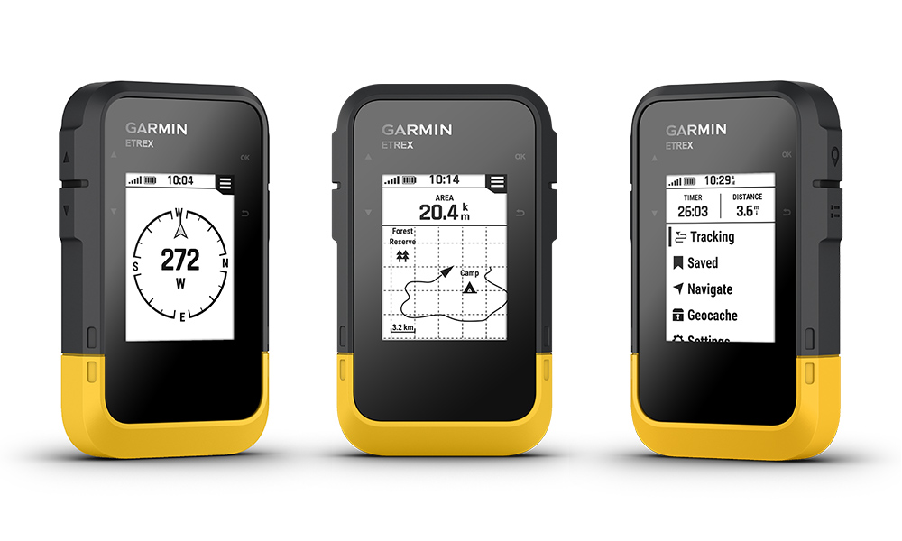
If you just need to confirm your position in latitude/longitude or GB Grid Ref in an emergency or as a backup for traditional map and compass navigation, you probably only need one of the simpler GPS devices which can display your position in various formats and may even show a basic map.
Basic handheld GPS devices (and mobile phones) will also show location, with the advantage of a screen that also shows some of the local area map for context.
For these sorts of devices low weight and low cost should be priority.
The Garmin eTrek SE and the Zoleo Global Satellite Communicator are good options.
2. Main navigation tool
If you are looking to partly replace a paper map, you will need a device that shows maps on-screen, preferably with a reasonable screen size and maps suitable for your activities.
A large screen is a key feature to see the maps or for planning routes. Battery life will also be important, as you need it to be on much more of the time. Most of the devices sold as handheld or ‘walkers’ GPS devices will be ideal. Some cycling computers that show detailed mapping are also perfectly usable. For walking, they may have mounting clips which get caught in pockets, or have features you do not use.
Availability of maps suitable for the location and activity is critical, so check what is available before you buy. Many GPS devices come with free ‘base mapping’ that’s suitable for road navigation, but does not show enough detail for off-road activities. For this you need 1:50k or 1:25k ‘topographical’ maps, such as OS Landranger or OS Explorer style maps for Great Britain.
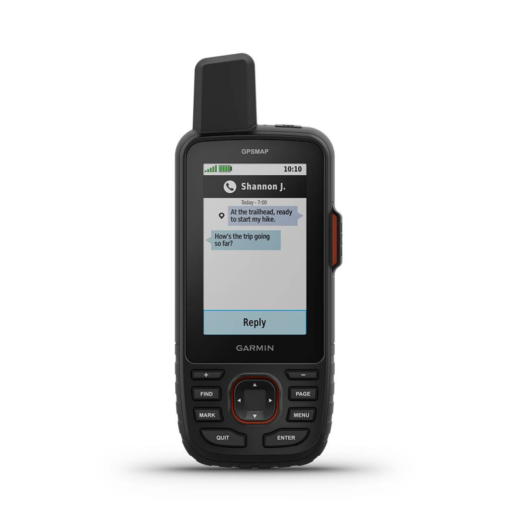
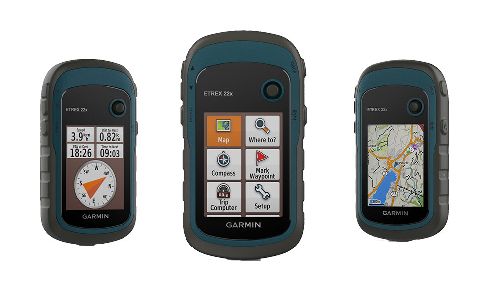
The Garmin GPSMap 67i is a good option.
3. Route and activity recording
If you want to log your route, speed and distance, almost all GPS devices have this as a function. However, if this is your primary need, you can find GPS devices with small or no screens that can do this.
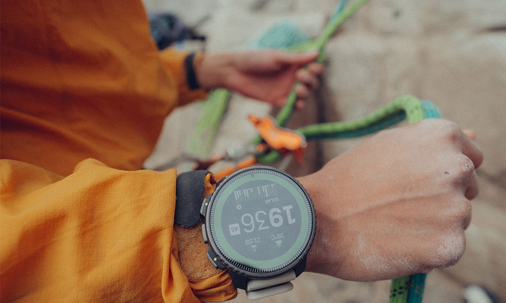
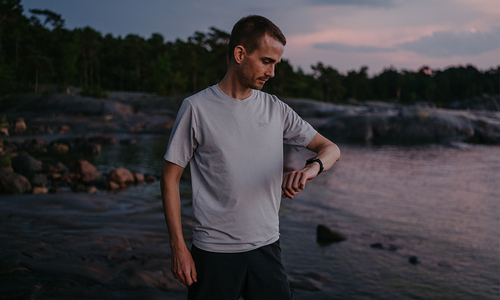
Wearable GPS devices are ideal for runners, while many ‘bike computers’ also have this function. Not all of them have maps, which keeps costs down, but make them unsuitable for navigation. However, technology is improving and there are now many GPS wearables with full Topo mapping.
A key feature of these wearable devices is the additional sensors, such as heart rate, pedal cadence, pace, oxygen, stress and even enhanced sleep tracking, plus added features like music, contactless payment and a connection to your phone. Most use Bluetooth to communicate with the main GPS.
What maps do I need?
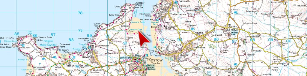
When choosing your GPS device, pay attention to the maps included and available as extras. Most GPS devices and apps come with a basemap, but these are often at road mapping scales, and not really suitable for walking or off-road uses. For the UK, Ordnance Survey maps are available as options from most of the main brands of dedicated GPS. These have the advantage of matching your paper map exactly simplifying your route planning.
When you are buying a new GPS unit, look at the bundled maps on offer. You will often find that you can save a lot of money by buying them at the same time instead of purchasing them later. Generally, maps bought for different GPS brands or different apps are not transferable to another brand of device, so ensure you are happy with the functions before buying add-on maps.
You can normally buy maps in two ways; on a physical SD card, or as a download. The functionality is identical. If buying as a download, you will need space on the devices’ memory to store them.
Safety tip
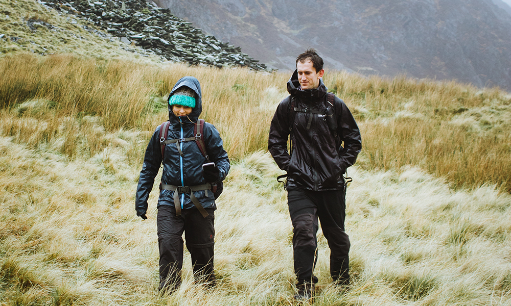
Even with full mapping on an electronic device, we always recommend taking a paper map (and compass) as a backup. You never know when a device might fail, get lost or damaged. If you are forced to stay out longer than expected that is exactly then you most need a reliable map – and when the batteries are most likely to give out.
Some of the GPS devices have links with external software, such as Ordnance Surveys’ OS Maps, Garmin’s Basecamp or Memory-Maps’ PC version. This makes it easier to transfer maps and routes from a PC to one or more GPS units.
Shop Paper Maps 1:50k full country mapping or full country 25k, 50, 250k Topo mapping.
GPS device features and functions
There are loads of functions available in GPS devices. Which ones you need will depend on the activities you are planning. Here’s a list of technologies you may find, and what you can use them for.
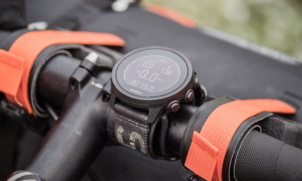
GPS position
All GPS devices do this, but some only report latitude/longitude while others will report also OS grid reference, altitude and distances to the next waypoint. Generally, more expensive GPS units will give more accurate results in less ideal situations, such as under trees, in ravines or near buildings. Phone based GPS can also provide a ‘best guess’ location based on other data like nearby mobile phone towers or WiFi. While this can be useful, it can also be very inaccurate, so you should verify using a visible feature if you are unsure.
GPS, GLOSNASS & Galileo
These three terms are given to different GPS system, run by the US, Russia and the EU respectively, but their signals are all available to anyone with appropriate hardware. Being able to see more than one network can have advantages in some situations – for example, GLOSNASS tends to work better in more northern latitudes. The main advantage of using two or more is a faster lock-on time, or a better chance of getting a position when the sky is partially blocked. They don’t generally improve accuracy to any significant extent. There is also a power consideration – it uses more power to calculate the position using more than one network, which will slightly shorten battery life.
The launch of GPS III satellites, started in 2018, promises to bring higher accuracy even to consumer GPS devices.
Screen
If you have a device that shows a map on screen, ensure maps are available that are suitable for the location and activities you are interested in. Transflective type screens reflect natural light, so work well in sunlight. A backlight makes the screen more readable in daylight, as well as allowing it to be used in the dark. Brighter screens are more usable, but often at the cost of shorter battery life. Also check the display resolution, as high resolutions will show more detail on the map.
Route recording
Being able to record your route allows you to review it and share it later. It’s great for settling arguments about how far you have travelled (and the vertical difference). If your device has GPX export you can then send this to others as a file, allowing them to follow your route more easily. Almost every GPS will do this. Those that have additional sensors for things like heart rate will often record this too, and export as FIT files that include both route and other data.
Planning routes
GPX files are one of the most common standard formats for importing and exporting GPS routes. They consist of a series of points, and being able to import and export GPX files will allows you to import and export routes to other programs, such as OS Maps. Importing is used to add routes to the device to make them easy to follow, while export is normally done to export a route to share it or analyse it.
GPX export/import
Most GPS devices have the ability to show a planned route, created on the device itself, imported by GPX file or from linked software. This allows you to see a nice clear route line to follow, and many will warn you if you get too far away from it. Some GPS devices offer a ‘track back’ feature which will direct you back to your start location should you get lost.
Different manufacturers do not use the same terms for routes, especially the difference between recorded routes and created/imported routes, so when looking at storage capacity make sure you understand the difference.
Waypoints or POIs
Importing a list of interesting features or adding your own can add interest to an activity. Most GPS devices show POIs like cafes, car parks and refuges, through Topo mapping, or you can import them in various formats and show them on the map as icons. Some GPS devices support paperless geocaching and allow you to upload GPX files straight to your device, and view key information such as location, terrain and hints from Geocaching.com.
Batteries
Bigger screens and more features tend to use more power, either shortening battery life or adding to the weight. Check the expected battery life meets your needs, whether you are a day walker or a multi-day hiker. Replaceable batteries are an advantage for longer trips, as it’s easier than using an external charger. Most GPS devices can now be charged from USB, so a waterproof USB charger is a great backup. Some will use standard AA batteries, although you need to use ‘’high power’ ones.
Weight
Lighter is normally better for any kind of physical activity, but lighter units generally have shorter battery life, smaller screens and lower physical protection. This is a balance that will be based on personal preferences.
IPX waterproofing
Most GPS units are designed to cope with rain and many can handle full submersion – look for an IPX rating of seven of higher (for the second digit), which means it should survive even a shallow puddle.
Durability
Most GPS devices designed for the outdoors are pretty tough. Some have an additional rugged case available, or a simple storage pouch.
Most dedicated GPS devices are also rated for a wider range of temperatures than a mobile phone, which might be important if you are going somewhere with more extreme conditions. Look out for a military standard rating such as MIL-STD 810.
Top tip
In cold conditions, keep the GPS next to your body rather than in a bag or external pocket. The batteries will last longer.
Control buttons
Some GPS devices have buttons that control the main features. These are useful for using when wearing thick gloves. They may be combined with a touch screen, or be the only control option.
Touch screen
Many devices now use touch screens, and while these can make it more intuitive to use they are also harder to use with cold hands or when wearing gloves. Most touch screens on dedicated GPS devices are ‘resistive’ types that are designed to work while wearing gloves, but thicker gloves will make accuracy difficult. Resistive screens are not affected by rain, but tend to be slightly less responsive than phone type touchscreens. They also only work for one point at a time, so ‘pinch to zoom’ and similar will not work.
Compass
A magnetic allows you to check the direction you are facing easily. Without a magnetic compass you will have to move a short distance so the GPS device can calculate the direction you are moving. All GPS devices offer a 3-axis digital compass.
Altimeter and barometric altimeter
Simpler GPS devices calculate height from the map or from GPS signals. GPS height is inaccurate – usually to 50m or so – due to the nature of the signals. These days, most units have a barometric altimeter, which measure air pressure. This normally needs reset at the start of each activity, but gives much more accurate height gain figures.
Step counter / Accelerometer
Often seen on wearable devices, it measures the steps taken by measuring the impacts created with each footfall using an accelerometer. They are mostly useful for seeing if you can reach a target step count, as the GPS recording will be more accurate for distance travelled.
Heart rate sensor
Measures and records your heart rate, and often used for sports and cycling where it’s used as part of performance measurement. There’s two types – the light based ones built in to wearables and separate chest-straps that communicate wirelessly via ANT+ or Bluetooth. The chest straps tend to be more accurate, but are normally a separate accessory. You can often mix and match brands as long as they use the same technology.
Cadence sensor
Seen on cycling and multi-use GPS devices, these measure your pedal rate, usually by adding a small sensor to the crank. Great for comparing pedal speed to ground speed, which also gives an indication of ear use. Most are now wireless, so you do not have to trail cables around the frame.
Power meter
Again, mostly on cycling and multi-use devices, they measure the power you are putting into pedalling, most commonly measured in Watts. It’s most useful for those looking to train and improve their cycling, as they can measure the gain over time. They can be tricky to fit. Most use wireless technology to connect to the GPS for recording.
Memory / storage
Maps can take a lot of storage space, so ensure the memory is sufficient for the maps you are going to be using. Some devices use external memory cards, while some have only internal memory, while others have a combination of the two.
External memory cards do have the advantage of being easily interchangeable, while internal memory usually requires a data connection to swap maps. Recording routes generally takes up some space, but not a huge amount. Some devices have a maximum number of routes they can store, while others are only limited by memory capacity. For maximum flexibility look for a device with decent internal memory plus expandable memory with an SD card slot.
Connectivity – USB
Almost all GPS devices allow you to connect by USB cable to a computer to upload maps and download route data. Generally they appear like any USB drive, although you may well need to use a specific software package to upload maps.
Connectivity – WiFi
The ability to connect to WiFi can be easier than having to have a cable and a computer to connect to. For some, WiFi is limited to only a few functions, such as getting weather updates, while others will sync routes, activities and more to an online server.
Connectivity – ANT+ & Bluetooth
Both of these allow connection to external equipment (such as heart rate or pedal cadence sensors). Bluetooth can also be used to connect to a paired mobile phone, potentially giving access to data services on the move. There are a number of apps which will link to your GPS devices. Generally, you can mix and match sensors and GPS devices from different brands as longs as they both use the same technology – look for the ANT+, Bluetooth, Bluetooth Low Energy or Bluetooth Smart logos.
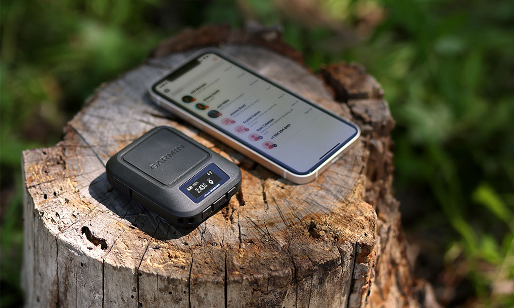
Mobile / Satellite communication
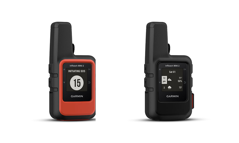
Many GPS devices have access to mobile and satellite connections for tracking or emergencies. These send data – normally a ‘last known location’ or ‘Help!’ over their networks. Some even have a keyboard, allowing you to send personalised messages along with your exact location. Mobile based ones require a mobile phone data connection, so will work in most places, but might have occasional black spots, or not work in certain countries. Satellite will work almost anywhere as long as there is a clear view of the sky. Both will generally require an annual subscription to keep the service active – satellite tends to be considerably more expensive than mobile.
Some GPS devices offer this functionality, but only when connected to a mobile phone over Bluetooth. This means both devices have to be on, near each other and connected for it to function, so it not as reliable as the devices with the technology built in, although it does mean you only need one annual subscription.
Weather reporting
Devices with data connections – either built in or through a Bluetooth connected phone – can get external data, the most useful of which is weather reporting. It can warn of incoming weather fronts, so is useful for longer trips or highly changeable areas. Weather reporting may only be available in some places.
PC Software
Most GPS devices come with software for adding maps, and may also include route planning abilities. Check that there is a version available for your computer – most have PC and MAC, but others are less common. Nowadays the software is normally not in the box, but downloaded.
Cameras
Having a camera in the GPS saves carrying a separate camera, and photos will generally be tagged with their exact location, which can be really useful for building a trip scrapbook later. The higher the MP (megapixels) of the camera, the more detailed the image will be, but you will generally find a dedicated camera will have more options and create better photos, especially in more difficult conditions, such as poor light or reflective snow.
Mounts / brackets
Some devices come with a mounting bracket or a compatible cradle. If you want to use on a bike (or anything else), this is far more convenient than having it in a pocket or handlebar bag. Some may include it with the GPS, or have it as an optional extra. Being able to buy additional mounts is really useful if you want to move the GPS between different bikes or other vehicles.
Chargers
Almost all devices now charge from USB cables, generally using standard USB micro or USB-C connections. Some of the wearables need a special charger that comes with the device, so if you are travelling you must take it with you. Most will come with a mains charger, but you can also plug into any USB battery pack, car charger or similar. A few still use proprietary cables, which is much less convenient.
New GPS devices and apps for smartphones or tablets are coming out all the time and will undoubtedly add new features, but as long as a GPS device is suitable for your personal needs you may not always need all the latest options.
Which GPS device do you need? Find out more about the best selling devices in this handy guide. For a range of GPS devices from the top brands like Garmin, check our GPS Devices section in the shop.