From sightseeing to extreme sports, read our short reviews on all 15 National Parks
National Parks Fortnight is usually held in April each year. Across this fortnight, there will be several events (some free!) held across the National Parks. So, be sure to look out for events in your closest National Park.
Great Britain has 15 National Parks scattered across the country. They were created by an Act of Parliament in 1949 to protect areas of natural beauty, or areas with significant historical heritage.
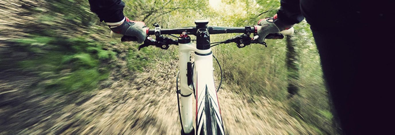
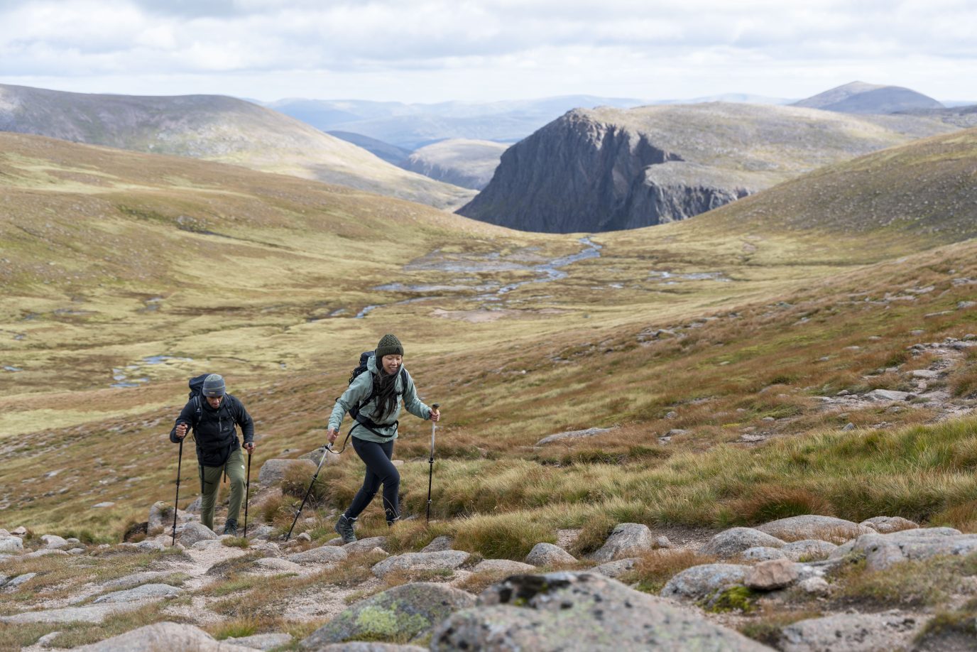
Unlike other countries, Britain’s National Parks are living, working land. Many contain towns and villages that are themselves historically important, as well working farms, local businesses and many opportunities to actively enjoy the outdoors. Part of the goal of all National Parks is to encourage everyone to enjoy outdoor activities, including walking, cycling, horse riding, greenlaning, climbing and water sports.
Here’s a short review of each British National Park.
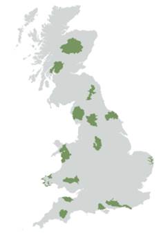
Click map to jump to that section
Brecon Beacons
The Brecon Beacons themselves are a series of mountains in South Wales, but the National Park was established in 1957 and covers a larger area including Brecon itself. It’s one of the most popular mountain biking areas in the UK, and the area has been designated as an International Dark Sky Reserve making it the ideal place for stargazing, meteorite spotting or just camping.
Although there are no lakes, the rivers Wye and Usk provide plenty of opportunities for kayaking and fishing, as well as creating some interesting terrain for canyoning or caving.
Top tip: Black Mountain Activities Centre offers a wide range of activities suitable for all the family for single days to week long holidays, and includes accommodation in it’s own four-star B&B.
Official site: www.beacons-npa.gov.uk
The Broads
The Broads is a large area of wetlands, navigable waterways and shallow lakes close to the Norfolk and Suffolk coasts.
It’s unusual in that it’s not a true National Park, but one that was created with very similar goals in 1989, so it’s generally treated the same. Naturally, boating is one of the biggest attractions, with sailing, canoeing and rowing all available. For nature lovers there are many nature reserves with the wetlands creating great opportunities for bird spotters to see some more unusual species.
Like all the National Parks, it’s got plent of other opportunities to get active, including walking, cycling and riding.
Top tip: Hire bikes for the day or week from Broadlands Cycle Hire and discover quiet roads and traffic-free cycle routes.
Official site: www.visitthebroads.co.uk
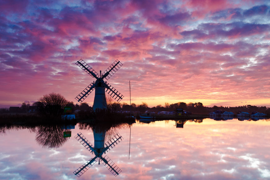
The Broads by Richard Bowden. Taken from the cover of OS Explorer Map OL40
Cairngorms
The Cairngorms National Park is the largest in Britain, covering around 4528 km2 (1748 square miles) of central mainland Scotland. It is very mountainous – five of the UK’s highest mountains and the three main ski areas of Scotland are inside the park boundaries. The area offers walking, riding and cycling routes. For those brave enough (or with a decent wetsuit) there are also water sports on Loch Insh.
For those that prefer their outside with holes and flags in it, 12 full-size golf courses provide some of the most scenic tees in the world.
Top tips: Visit Muir of Dinnet National Nature Reserve for a gentle stroll on clearly marked paths before returning to Royal Lochnagar Distillery to sample some single malts.
Official site: visitcairngorms.com
Dartmoor
Dartmoor is 954 km2 (368 square miles) of bleak-looking moorland punctuated by exposed granite tors. Although parts are a military firing range, there are still ample opportunities for walking, running, cycling, riding and climbing. Firing areas are clearly marked on maps and on the ground with red and white posts.
Dartmoor shows signs of human habitation going back to the stone age with stone circles, bronze age hut remains and farms that date back to the 14th century. Keep an OS Map handy and your eyes open and you may find yourself standing in what would have been someone’s bedroom 3,000 years ago.
Dartmoor is also well known for countless myths and legends, from headless horsemen and spectral hounds used by Arthur Conan-Doyle in The Hound of the Baskervilles to the more recent sightings of a big cat dubbed ‘The Beast of Dartmnoor’.
Top tip: Dartmoor, unlike most areas of England, encourages wild camping. Take a tent (or just a bivvy bag), a sleeping bag and a small stove for a fresh brew and try to find a spot as far away from another human as possible.
Official site: visitdartmoor.co.uk
Dartmoor by Edward Rutson. Taken from the cover of OS Explorer map OL28
Exmoor
Exmoor National Park in Somerset and Devon boasts dramatic sea cliffs to gentle rolling valleys. With 55 km (34 miles) of coastline, it’s got varied landscape ideal for walking and cycling – although the steep slopes make for some tough challenges.
There are opportunities for freshwater and sea fishing from land or boat as well, with bass, cod, whiting, conger and skate all recently caught.
Like the Brecon Beacons it is designated as an International Dark Sky Reserve and runs regular stargazing events, which are great for kids and adults alike.
Top Tip: Take a day trip to Glen Lyn Gorge for an occasionally challenging walk, a pretty waterfall and an interesting tidal turbine.
Official site: exmoor-nationalpark.gov.uk
Lake District
The Lake District National Park (generally just called ‘The Lakes’) contains 19 major lakes and Scafell Pike, the tallest mountain in England at 978 m.
The dramatic scenery of the Lake District is credited with inspiring writers and poets such as Wordsworth, Coleridge and Keats, and inspired Wainwright to write his ‘Pictorial Guides’ – probably the best known British walking guidebooks.
Top Tips: There are so many options in The Lakes that you are spoilt for choice. Avoid the crowds by not climbing Scafell, but opting for a quieter route such as one from Greendale (NY 144 056) up to Greendale Tarn and back (around 5km or 2 hours), then return to Whitehaven for to eat fish and chips from Crosby’s in the harbour.
Official site: lakedistrict.gov.uk
Lake District taken by Tim Boden. Taken from the cover of OS Explorer map OL6
Loch Lomond and The Trossachs
As well as sailing, canoeing, water skiing and fishing in Loch Lomond itself, the Loch Lomond and The Trossachs National Park has 21 Munros, providing ample opportunity for exploring on foot, bike or horseback.
While some peaks require proper equipment all year round, lower routes are easily accessible to walkers of all abilities. Climbers are also well catered for with both summer and winter climbs or all grades.
Top Tip: Take a day or more to visit Inchcailloch, and island in the south-east of Loch Lomond. The whole island is a nature reserve and wonderfully isolated, but still easy to reach by ferry from Balmaha. Development is minimal, but a small campsite for up to 12 people is available at Port Bawn, but you will need to carry in all your supplies and carry all waste out with you.
Official site: lochlomond-trossachs.org
New Forest
New Forest National Park on the south coast is one of the more recent, established in 2005. Despite the name, around half the area consists of open heaths and grassland, the rest being largely deciduous trees. The name is also a misnomer, as it’s not that new – it was created in the 11th century by William the Conqueror as a hunting ground.
Most of the area is fairly flat, making it ideal for cycling with both road and off-road options. It’s famous for the New Forest Pony, and there are plenty of opportunities for trekking on bridleways.
Visitors during peak holiday periods should be aware that there can be heavy traffic on the key A35 and A337 roads – but this can be avoided by staying within the National Park and using the picturesque back roads.
Top tips: Take a picnic lunch and see the fallow deer in the Bolderwood Deer Sanctuary then retreat to the traditional Waterloo Arms for a pint or an evening meal.
Official site: newforestnpa.gov.uk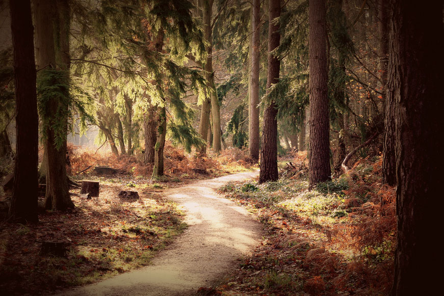
New Forest by Louise Godwin. Taken from the cover of OS Explorer map OL22
Discover more of Britain’s National Parks with paper maps from the Ordnance Survey.
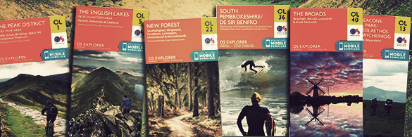
The OS Explorer OL range with mobile download included.
North York Moors
The North York Moors National Park boasts a beautiful landscape of moorlands, rugged coastline, ancient woodlands and historic sites.
Walkers are especially well catered for with a large number of designated footpaths and much of the area being open access. There is also a bridleway that circles most of the moor that is accessible to riders and cyclists.
As well as walking and cycling, you can discover sites dating from the Iron Age to the Industrial Age, or visit Ryedale Folk Museum to see traditional crafts.
Top Tips: Go back to the age of steam by taking a trip on the North Yorkshire Moors Railway followed by afternoon tea at the Pickering Station tearoom.
Official site: northyorkmoors.org.uk
Northumberland
In the north of England, Northumberland National Park contains Hadrian’s Wall and the Cheviot Hills, and if you want to really see the area you can follow a number of multi-day National Trails, including the Pennine Way and Hadrian’s Wall Path.
While a section on the park is reserved for use by the Army, there is plenty of space for horse riders and cyclists as well. The Northumberland National Park also has three National Nature Reserves, popular with birdwatchers and a Dark Sky park for Stargazing.
Top tip: Get a guided tour of Hadrian’s Wall with Hadrian’s Wall Ltd. You can do short trips to multi-day walks, or take a Land Rover to see more in a single day.
Official site: northumberlandnationalpark.org.uk
Northumberland by Gemma Carter. Taken from the cover of OS Explorer OL42.
Peak District
In central England, the Peak District National Park was the first National Park created in Britain and is still one of the most popular.
It has large Open Access areas that give huge scope to those that like to plot their own paths, while marked trails such as the Pennine Way provide easier navigation. Natural crags and caves, such as those in the Castleton area also make the area popular with both climbers and potholers .
The historic spa town of Buxton provides an excellent base for exploring the National Park, while for history lovers there are a variety of museums including the World Heritage Site, Derwent Valley Mills.
Top Tip: Take a walk up Kinder Scout, which at 636m is the highest point in the Peak District and gives some amazing views in clear weather. There are multiple routes up, with the path from Edale the most popular. It’s around 12km, depending on the exact route, and can be a pretty tough challenge with some tough climbing.
Official site: peakdistrict.gov.uk
Pembrokeshire Coast
The Pembrokeshire Coast National Park consists of a relatively narrow strip of coastline in south-west Wales. With a varied landscape of rugged cliffs, sandy beaches, low wooded estuaries and rolling hills, it contains a large number of Sites of Special Scientific Interest and Nature Reserves.
This makes it very popular with bird and wildlife watchers, but there are options for those who want to be more active too. The Pembrokeshire Coast Path National Trail follows the Park – it’s 299km (186 miles) long, but it is possible to do smaller sections. The regular steep slopes make this a deceptively tough hike, so if you are planning an all day trip a good level of fitness is required.
Water sports are also popular in this area, with sailing, surfing, windsurfing, coasteering and sea angling all available from many points along the coast, while for a more relaxing day there are loads of brilliant, clean beaches available from smooth golden sand to rocky pools perfect for hunting for anemones and crabs.
Top Tip: Rent a Kayak out of Fishguard with Kayak King to see the amazing coastline from a different perspective.
Official site: pembrokeshirecoast.org.uk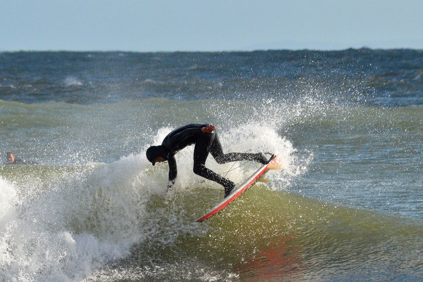
Surfing off the Pembrokeshire Coast by NickBeere. Taken from the cover of OS Explorer map OL36.
Snowdonia
Snowdonia National Park in North Wales contains Snowdon, which at 1085 m (3560 ft.) is the tallest mountain in England and Wales. There is a lot more to it than just the mountain, as the National Park also contains the largest lake in Wales, Bala Lake, plus other less well known peaks to explore.
Snowdon itself is a popular walk, which means it can get busy in peak season. A train runs up to the café and tea rooms at the top, so if you have a group of mixed abilities it gives those who are not able to complete the walk the option to beat the walkers to the peak.
You can discover more about the history of Wales too. The Welsh Slate Museum shows some of the surprising traditional crafts slate was used for, while Conwy Castle is in a remarkable state of preservation for a 13th century building.
Top Tip: You can’t go to Snowdonia without climbing Snowdon by foot or train. The Llanberis Path is probably the easiest and most popular, or follow The Snowdon Horseshoe for a ridge-walking challenge. Check the weather forecast before starting, as weather can change rapidly and you will be disappointed if you miss the view from the top due to low cloud.
Official site: snowdonia-npa.gov.uk
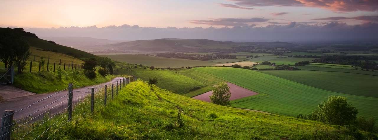
South Downs
Fully open in 2011, the South Downs National Park is Britain’s newest. It covers from Winchester to Eastbourne along the south and south-east coast. Close to major cities like London, Brighton, Southampton and Portsmouth, it’s one of the most populated National Parks in the UK and already attracts a large amount of visitors for walks, mountain biking and other sporting activities.
Top Tips: Visit the National Trust Woolbeding Gardens, a modern 26 acre garden near Midhurst, and then on to the dog friendly The Three Horseshoes in Elstead for a pub supper.
Official site: southdowns.gov.uk.jpg)
South Downs near Horsham by Tania. Taken from the cover of OS Explorer map OL34.
Yorkshire Dales
Usually known simply as ‘The Dales’, the Yorkshire Dales National Park consists of the valleys and peaks of the Pennines, with peaks rising to 893m (2,930 feet).
The Dales sit on largely limestone rocks, which have been eroded over time to form some impressive cave systems, such as Gaping Gill, which has one of the largest underground chambers in the country. Some caves are available to casual visitors, such as the White Scar Cave, which has paid tours all year round.
For walkers and trail runners there is the Pennine Way. The full trail is 429km (268 miles) long, and crosses up into Scotland, but many walkers will complete it in sections over multiple trips.
Top Tip: Take a walk east from Chaple-le-Dale to see the Ribblehead Viaduct (around 12km), an impressive bit of Victorian Railway Engineering
Official site: yorkshiredales.org.uk
Getting more out of your visit with OS maps
OS has map bundles available for each of the National Parks, which will help you make more of your trip. You can find the complete list of Explorer and Landranger maps here. Also have a look at OS Maps, our online mapping tool, which includes an automatic routing feature in National Parks to help you create your own route for walking, running or cycling.
Discover more of Britain’s National Parks with paper maps from the Ordnance Survey.
The new OS Explorer OL range now available with mobile download included.