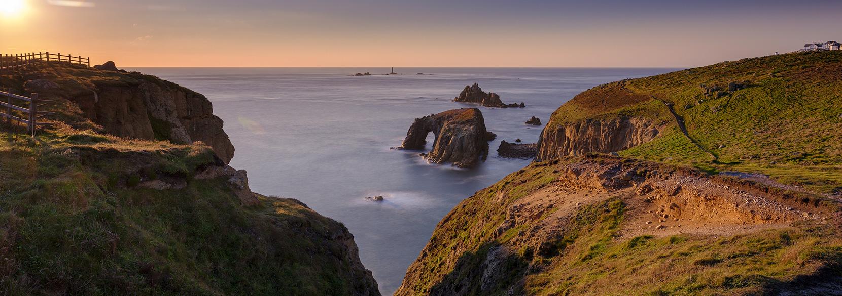
Cornwall and Devon form the far south-west part of Britain and are a haven for locals and holidaymakers alike. Dramatic coastline plus wild moorlands, hills and valleys make it the perfect place to explore on foot or by bike.
For the moment we need to explore locally, but there’s no reason why we can’t all plan for future staycations in this glorious part of Great Britain.
Catch up with ITV’s Cornwall and Devon Walks, an eight part series with Julia Bradbury, plus explore the walks below to find footpaths in each area. MORE COMING SOON!
1. Land’s End walk
Porthcurno to Sennen Cove, via the Minack Theatre and Land’s End
Distance: 10.3 km / Time: 2-3 hrs
This walk takes you from Porthcurno to Land’s End, passing the awe-inspiring Minack Theatre, Sennen Cove, St Levans Well, Porthgwarra Beach and Gwennap Head, with some spectacular cliff views across deep blue waters.

Land’s End
2. Padstow, North Atlantic Coast walk
Padstow to Trevone Bay, via Hawkers Cove, Stepper Point, Roundhole Point and Butter Hole
Distance: 7.8 km / Time: 2 hrs
This walk takes you around the coast from Padstow, along the South West Coast path and Prideaux Estate past Harbour Cove and Hawkers Cove on the Camel Estuary, Stepper Point, Roundhole Point and Butter Hole Cove to surfing hotspot Trevone Bay. A perfect walk for dramatic coastal scenery, rocky headlands, secret coves, towering cliffs and huge sandy beaches.

3. Dartmoor walk
Haytor to Saddle Tor via Hound Tor
Distance: 10.4 km / Time: 2 hrs 45 mins
With countless walks to choose from, Dartmoor’s rugged granite-scattered landscape is perfect for walkers and climbers alike. This walk takes you from Haytor via Hound Tor, bypassing Emsworthy Nature Reserve and finishing at Saddle Tor.

4. Isles of Scilly walks
St Martin’s & Tresco
Distance: 6.1 km / Time: 1 hrs 30 mins
This walk takes us along the soft sands of the Isles of Scilly, with visits to St Martin’s & Tresco. At St Martin’s it starts at New Quay on Par Sands Beach, passing Old Quay Beach, through St Martin’s Head and down to the sparkling shores of Great Bay. Julia then ventured onto the sub-tropical island of Tresco.

The beach at St Martin’s, Isles of Scilly
5. Salcombe
Via East Portlemouth and Gammon Head to Prawle Point
Distance: 7.5 km / Time: 2 hrs 30 mins
Starting in Salcombe with it’s glistening harbour, this walks takes you first on a short ferry ride across the Kingsbridge estuary to East Portlemouth. The walk then hugs the coast, along the lush woodland path past Limebury Point, taking in the Pigs Nose, Gammon Head and finally Prawle Point, which is the southernmost point in all of Devon.

Salcombe Bay
6. The Lizard
Kynance Cove, Lizard Point to Cadgwith
Distance: 10.2 km / Time: 3 hrs
Along one of the most secluded parts of the Cornish coast, this walk takes us from Lizard Village, to Kynance Cove, past the most southerly point in Britain, Lizard Point and on to Cadgwith. With the wild beauty of rugged coastline, known as Serpentine, the glistening sea views and golden sands are simply mesmerising.

Kynance Cove
7. The Dart Valley Trail
Totnes, passing Greenway to Dartmouth
Distance: 19.7 km / Time: 5.5 hrs

Follow the walk: The Dart Valley Trail
Walking route in OS Maps for: Dart Valley Trail, Totnes to Dartmouth
A day-long ramble along the famous River Dart, on the Dart Valley Trail, starting in Totnes passing through the Sharpham Estate and crossing the river to the Greenway Estate, once the home of Agatha Christie! Before heading back across the river at Kingswear to Dartmouth harbour.

Looking up the river Dart from Dartmouth
8. Frenchman’s Creek
From Helford, via Pengwedhen Woods
Distance: 3.8 km / Time: 1 hr

Follow the walk: Frenchman’s Creek
Walking route in OS Maps for: Frenchman’s Creek from Helford via Pengwedhen Woods
Last in the series with Julia Bradbury on ITV’s Cornwall and Devon Walks is another river walk from Helford to Frenchman’s Creek, through ancient Pengwedhen Woods, secluded coves, hidden creeks, abundant wildlife and mesmerising riverside views.

Frenchman’s Creek


