The map is your canvas
Get creative on your next walk, run or cycle by making some Christmas route art in OS Maps. Find out what map art is and how do it. Make the map your canvas!
Mappy Christmas from Ordnance Survey and the GetOutside Champions!
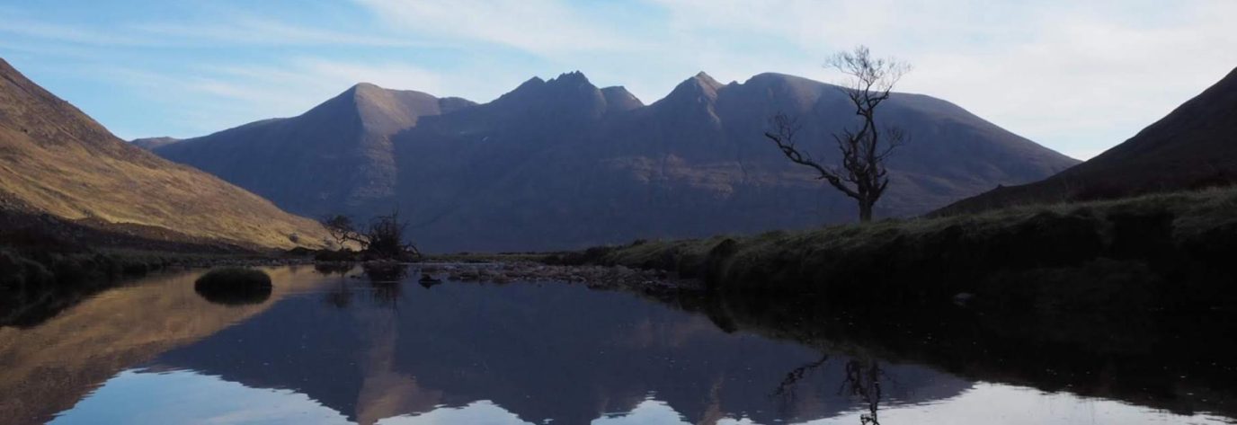
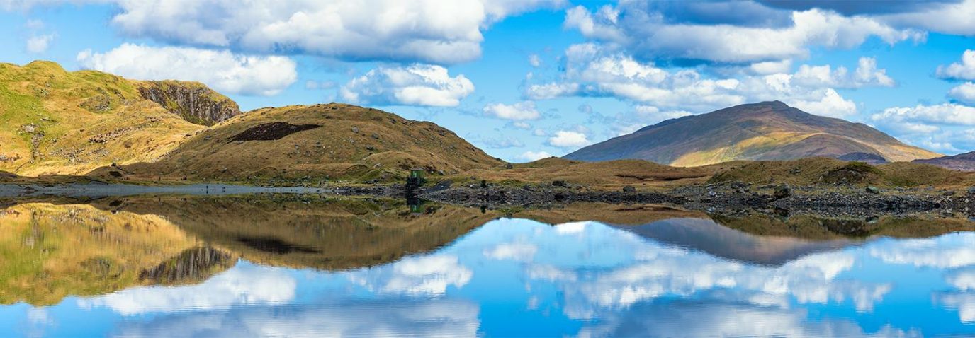
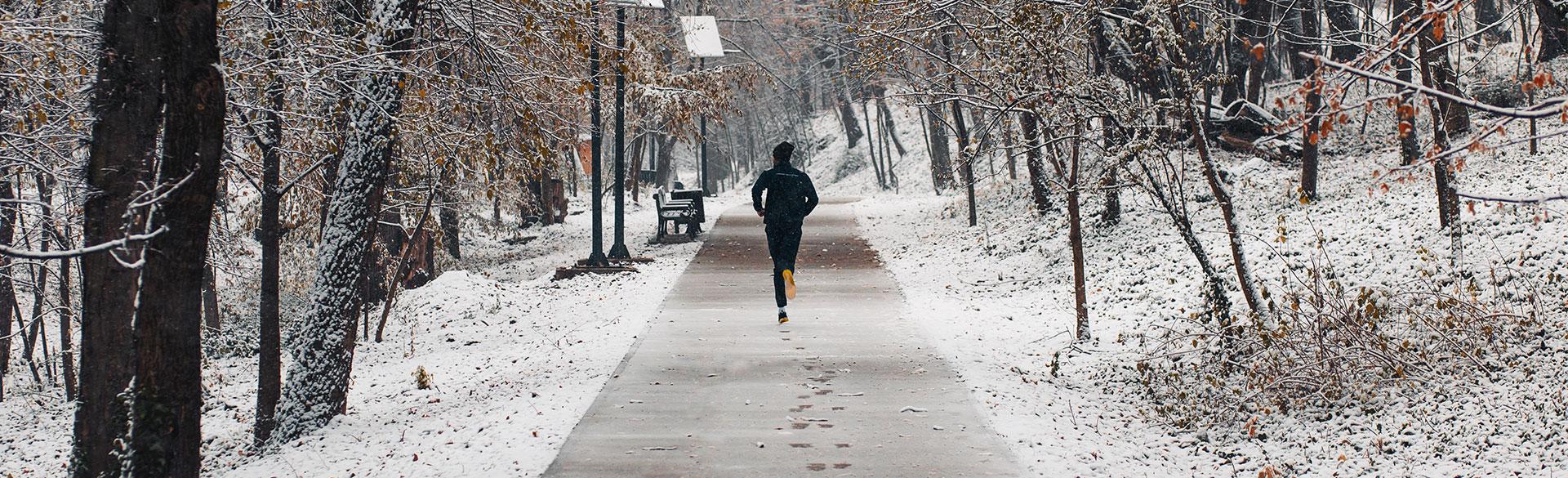
Christmas truly is the most wonderful time of the year to get outside and go for a festive winter walk with friends, family or your four-legged pals! In fact, a study recently commissioned by Ordnance
Survey found that one in two adults in Britain said that crisp fresh air and making frosty footsteps are what they love most about festive walks. So, what better way to celebrate Christmas and our love for getting outside than with some festive OS Maps route art?
Map art reindeer by Louise Griffin @bijoux_jogettes
We challenged 14 of our OS GetOutside Champions to plot out some festive routes (literally!) in OS Maps, spelling out each letter of Merry Christmas in their local area. Take a look at the video below or head over to our social media channels to see what they made of our special Mappy Christmas message. Find their routes at the bottom of the page and give them a go or create your own route art from your front door. This is a great activity to do with friends and family post-turkey!
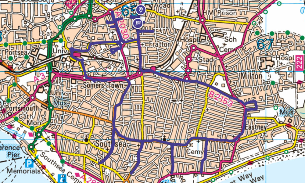
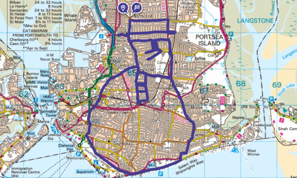
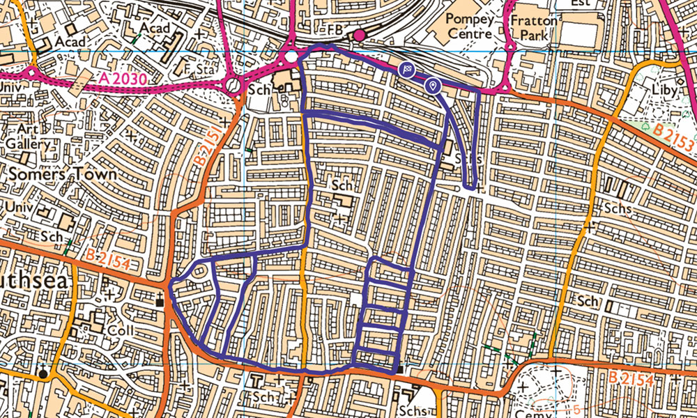
What is route art?
Map, or route art, uses the patterns of the streets, trials and paths to make pictures or letters. Using a GPS device, you can record your route and afterwards, see the beautiful art that you’ve created! It’s a great way to challenge yourself and get others to join in too. Why not get your local community group involved and see who can make the best picture? It’s also good for you, both physically and mentally, as it gets you outside and moving. Route art is the perfect antidote to the indulgences of the festivities!
From drawing pictures to spelling out words, there’s so much scope for fun, creativity and exercise all rolled up into one! You can run, walk, cycle or even horse ride your way around a picture that you’ve plotted on a map. You could even use it as a way to give a message to someone like our OS GetOutside Champions have done.
Map art snowman by Louise Griffin @bijoux_jogettes
How to create route art
Have a go at creating your own Christmas route art by plotting different letters or a Christmassy shape in OS Maps within your local area (see examples at the bottom of this page). You can use your new map art route to explore what’s on your doorstep and see your neighbourhood in a different way. Who knows, you might go down a street you’ve never been to before or stumble across a new favourite coffee shop, all in the name of route art.
To create OS Maps route art:
- Use the ‘standard map layer’ on OS Maps to find your local area. If you have OS Maps Premium you can access the Premium topo layer (OS Explorer and Landranger scales) for more detailed mapping
- Use the ‘plot a route’ feature to plan out your route, drawing a festive picture or spelling out a word. You’ll need to stick to streets, paths and trails (places you can actually travel!) in order to be able to follow the route
- Make your way to your starting point and turn on your GPS. Record your activity in OS Maps.
- If you route isn’t tracing very well, try going a little slower or faster
- Don’t forget to take a screen shot and save your completed route when you are done!
- Make sure you have plenty of charge on your phone before you head out to create your masterpiece.
Map art stocking by Louise Griffin @bijoux_jogettes
Be sure to share your map art routes and images with us all on social media and celebrate your creative skills with a mince pie or delicious hot chocolate as you warm up afterwards!
We would like to say a massive thank you to all our champions for their hard work and dedication to getting outside this year – we have had a great year! Finally, from everyone at OS, we hope that you all have a magical holiday break and enter the new year ready to get outside more often with your love of adventure renewed!
Tag Ordnance Survey and #OrdnanceSurvey, #GetOutside, #OSMaps on Twitter, Instagram, or Facebook to share your route with us.