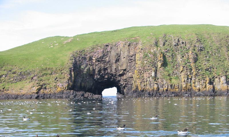
Ordnance Survey has recently rolled out the ‘Vernacular Mapping Tool‘, which is a collection of non-official nicknames for locations around the coast. The serious goal is to make it easier for emergency services to locate a place when a caller identifies it with a local name that does not appear on the map.
It also provides a treasure-trove of the weird, wonderful and occasionally rude, so we thought we’d pick out a few of our favourite of the weirdest local nicknames.
- The Ropey (Arbroath Harbour)
- Pig’s Paradise (Scarba island, Scotland)
- The Twelve Apostles (Catacol village. The name comes from a distinctive row of houses)
- Wibbly Wobbley Bridge (Millennium Bridge, London. When it first opened it wobbled a lot. It was closed for two years to add damping)
- Soapy Cove (Probably from a former soap stone quarry, so no good for laundry)
- Stinky Bay (Pentire, Cornwall)
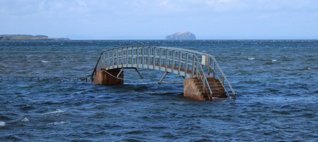
- Bridge to Nowhere (East Lothian)
- Sausage Island (an island near Ynys–Las, Wales)
- Yellow Dog with No Teeth Bridge (Hampshire)
- Glitter Ball (Blackpool)
- The Comedy Carpet (Blackpool)
- Bloody Bay (Northumberland)
- Crazy Mary’s Hole (Suffolk. It’s apparently haunted by the ghost of Crazy Mary)
- The Dalek (Bridgewater Place skyscraper, Leeds)
- Sober Island (Outer Hebrides)
- The Eye of the Butt (Outer Hebrides)