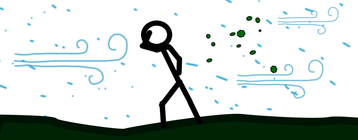
Reading a mountain weather forecast recently it gave wind speeds in metres per second, and I realised that I had no clear impression of what that meant.
So here’s a comparison of KM/H, MPH, M/s and Beaufort Gale Speeds.
Wind speed chart
| Wind Force | Name | Speed: km/h | Speed: mph | Speed: m/s | Description |
|---|---|---|---|---|---|
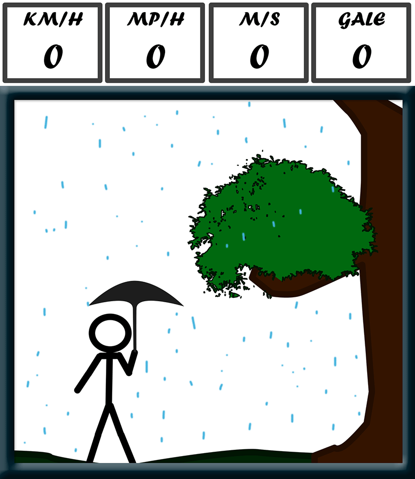
| 0 | Calm | <1 | <1 | <1 | Smoke rises vertically. Water like a mirror, rain drops straight down. |
| 1 | Light Air | 1-5 | 1-3 | 1 | Smoke drifts slightly. Water rippled |
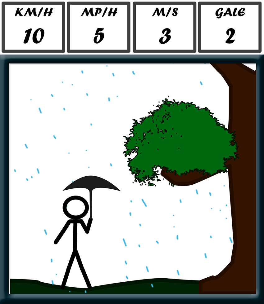
| 2 | Light Breeze | 6-11 | 4-7 | 2-3 | Wind felt on face; leaves rustle; wind vanes moved by wind. Small wavelets on water |
| 3 | Gentle Breeze | 12-19 | 8-12 | 3-5 | Leaves and small twigs in constant motion; light flags extended. Large wavelets on water |
| 4 | Moderate Breeze | 20-28 | 13-18 | 6-8 | Small branches moved. Dust blown occasionally. |
| 5 | Fresh Breeze | 29-38 | 19-24 | 8-11 | Small trees in leaf begin to sway. Moderate waves form on open water |
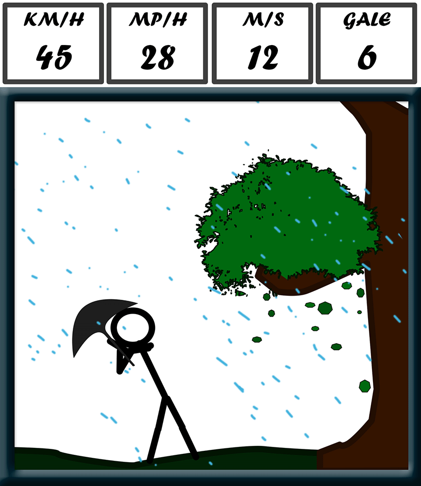
| 6 | Strong Breeze | 38-49 | 25-31 | 11-14 | Large branches in motion; whistling heard in phone lines; umbrellas used with difficulty. Large waves with foam crests at sea. Waterproof trousers useful. |
| 7 | Near Gale | 50-61 | 32-38 | 14-17 | Whole trees sway; walking into the wind become noticeably harder. Umbrellas become useless. |
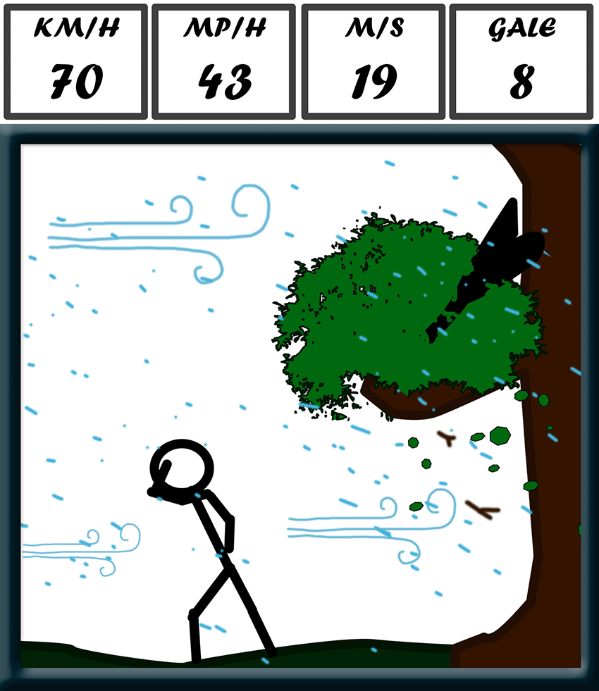
| 8 | Gale | 62-74 | 39-46 | 17-21 | Twigs break off trees, walking made difficult. Wave crests begin to break into spindrift. Avoid walking under trees. |
| 9 | Strong Gale | 75-88 | 47-54 | 21-24 | Strong wind, making it very hard to walk. Even larger loose objects moved, like bins and trampolines. Some damage likely. |
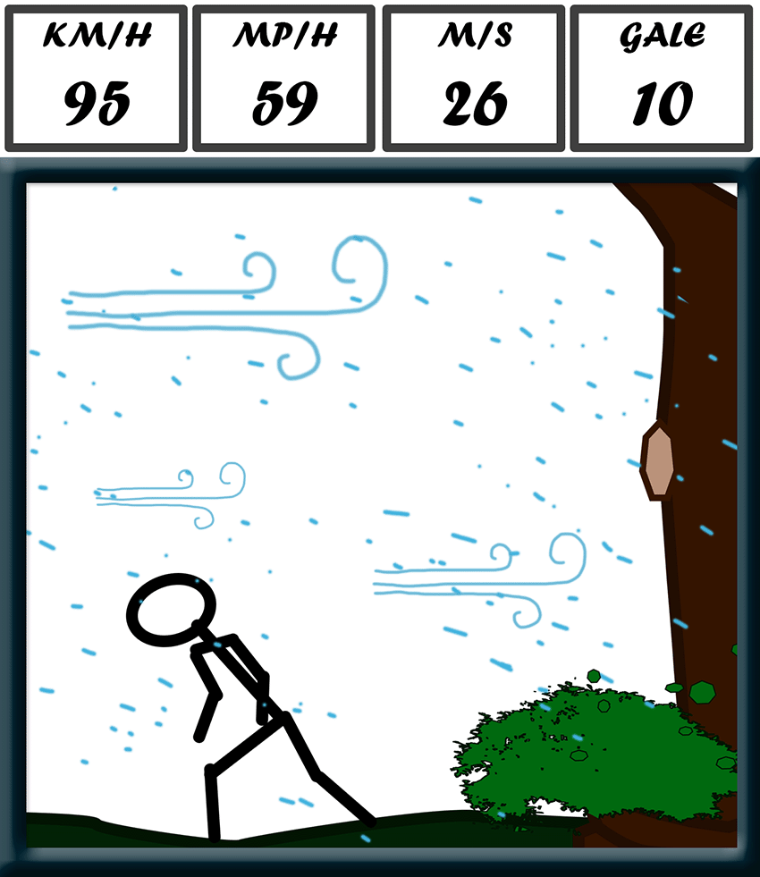
| 10 | Storm | 89-102 | 55-63 | 25-28 | Trees uprooted, damage to buildings and fences likely. Sea surface is largely white. Dangerous near trees and coasts. |
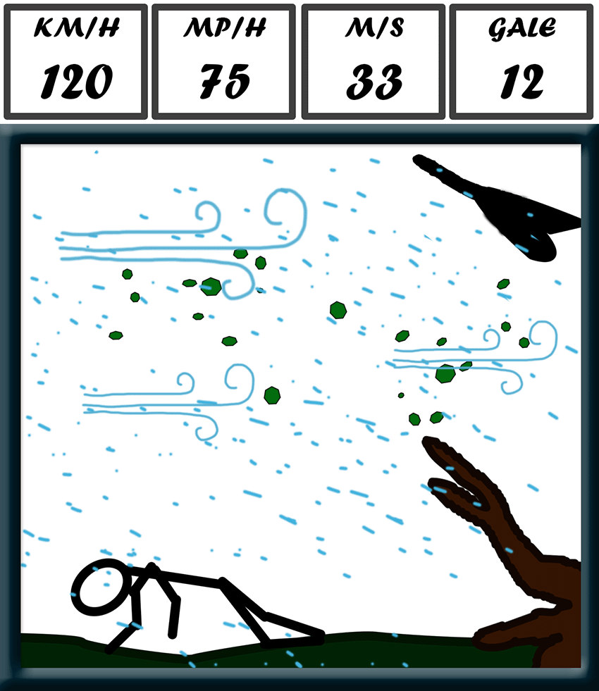
| 11 | Violent Storm | 103-117 | 64-72 | 29-33 | Extreme weather rarely seen in mainland Britain. Extensive damage likely. Walking hazardous everywhere. |
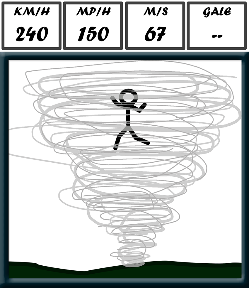
| 12 | Hurricane | 118+ | 73+ | 34+ | STAY INSIDE! |
Remember that wind speeds will be higher on exposed paths and peaks! A good rule of thumb is to expect wind speeds roughly two or three times faster on an exposed peak compared to the valley below. A blustery 40 km/h in a valley could be a dangerous 120km/h on a nearby mountain peak.
