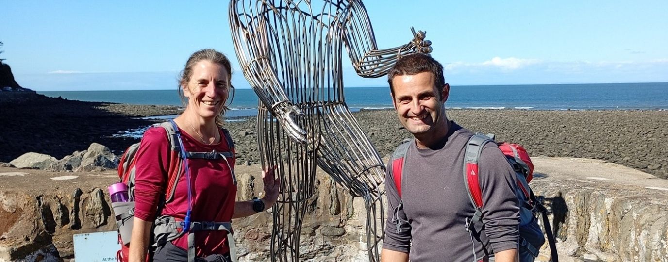
Discover more Offa’s Dyke, one of Wales’ National Trails.
While it’s described as ‘challenging’, ‘tough at times’ and with ‘many elevation changes’ on TripAdvisor, the Offa’s Dyke Path is a walk which features on many hardcore ramblers’ bucket lists. It might be hard work, but the views are spectacular and the scenery seems to change every day.
Opened in 1971, it has become one of THE best-loved long distance trails in Great Britain and, as one reviewer said, the path has ‘a lot to Offa’.
Essential facts
A designated National Trail, Offa’s Dyke Path measures 177 miles and can therefore take several days to complete – usually 12 for decent hikers who can keep going for six hours at a time. It’s situated along the Wales-England border, running alongside what’s left of the 8th Century Offa’s Dyke. It’s thought that this earthwork was ordered by Offa, the then King of Mercia, to either protect his land from threats from the Kingdom of Powys or to simply delineate the two territories.
The path itself starts in Sedbury near Chepstow and travels north to Prestatyn. It traverses over rolling hills and the ominously-titled Black Mountains, skirting villages and following canals; cutting through Monmouthshire, Gloucestershire, Herefordshire’s Welsh marshes and Shropshire. You’ll see Norman castles and medieval abbeys; cross the Pontcysyllyte Aqueduct and literary-lovers can peruse the many old book shops in Hay-on-Wye.
You’ll need good trail shoes or hiking boots and possibly long trousers to protect your legs from stinging nettles – and don’t forget a decent weatherproof jacket. This is the UK, after all.
The route

Image: http://www.nationaltrail.co.uk/offas-dyke-path
Most walkers take a south to north approach, starting at the Severn Estuary – a stone’s throw from the Severn Bridge. Walking Club divides the path into 12 stages, starting in Chepstow then travelling up to Monmouth, Pandy, Hay-on-Wye, Kington and Knighton. This is typically considered the southern portion of the path. The northern part from Knighton covers Brompton and reaches up to Buttington, Llanymynech, Chirk, Llandegla and Bodfari.
Image: http://www.nationaltrail.co.uk/offas-dyke-path
For a walk which is doable in a few days, try the section from Abergavenny to Knighton. Measuring some 50 miles, it takes in hilly farmland and a few small towns, including Hay and Presteigne. Perfect for a long weekend.
At 34 miles is the Llangollen to Prestatyn walk, suggested by Visit Wales as one of its favourite Offa’s Dyke Path sections. They may call it a ‘challenging weekender’, but the incredible landscape of the Clwydian Range makes for an exhilarating and rewarding slog.
Shorter still is the 16-mile walk through the stunning Wye Valley from Chepstow to Monmouth; an easier woodland walk through which you can glimpse incredible views and Tintern Abbey.
Predominantly well signed, there are a few places where you might need to keep your eyes peeled for the next marker, so do take a good map with you.
Where to stay
If you’re tackling all or a good sized chunk of the Path, you’ll need to arrange overnight accommodation. The path doesn’t meander into many towns, so you may discover that your B&B is situated a little off the track. Regardless, you shouldn’t have too much trouble finding a bed for the night. The Offa’s Dyke Association keeps an up-to-date list of hotels, B&Bs, hostels and self-catering accommodation.
Those staying at Brynhonddu Country House in Pandy might be treated to an after breakfast talk on the local area by the proprietor. Listed the number one hotel in Hay-on-Wye, The Swan at Hay is a popular stop with a good restaurant and lots of rooms. Then there’s the highly-rated Royal Oak in Knighton – a lovely pub with clean rooms and if nothing else, a great pint.
Alternatively, if you’d rather sleep under canvas, there are plenty of campsites to choose from.
Don’t worry about lugging your tents and bags with you on the walk; taxis, baggage companies and even some B&Bs can arrange to have your bulky belongings transferred to the next stop on your list. Check the National Trail website for more information.
![Image: Eirian Evans [CC BY-SA 2.0 (http://creativecommons.org/licenses/by-sa/2.0)], via Wikimedia Commons](https://getoutside.ordnancesurvey.co.uk/assets/uploads/offasdyke.jpg)
Image: Eirian Evans [CC BY-SA 2.0 (http://creativecommons.org/licenses/by-sa/2.0)], via Wikimedia Commons
When to go
The path is open year-round, but with its tricky terrain and demanding elevations, it’s best to go in the drier months. Spring is an especially good time to go, promising sunny days and comfortable temperatures, along with the first bursts of beautiful springtime flowers. Plus you’ll get to enjoy the adorable sight of little lambs running about. Summer is equally lovely, though try to avoid any really hot days, and ensure you pack the right gear to help you cope with the heat.
It might be a demanding walk, but it’s certainly one that any hiker would complete with not only a huge sense of achievement, but also of wonderment at the varied and beautiful landscape this part of the world has to offer. Break it into chunks if you need to; just make sure you give it a go.


