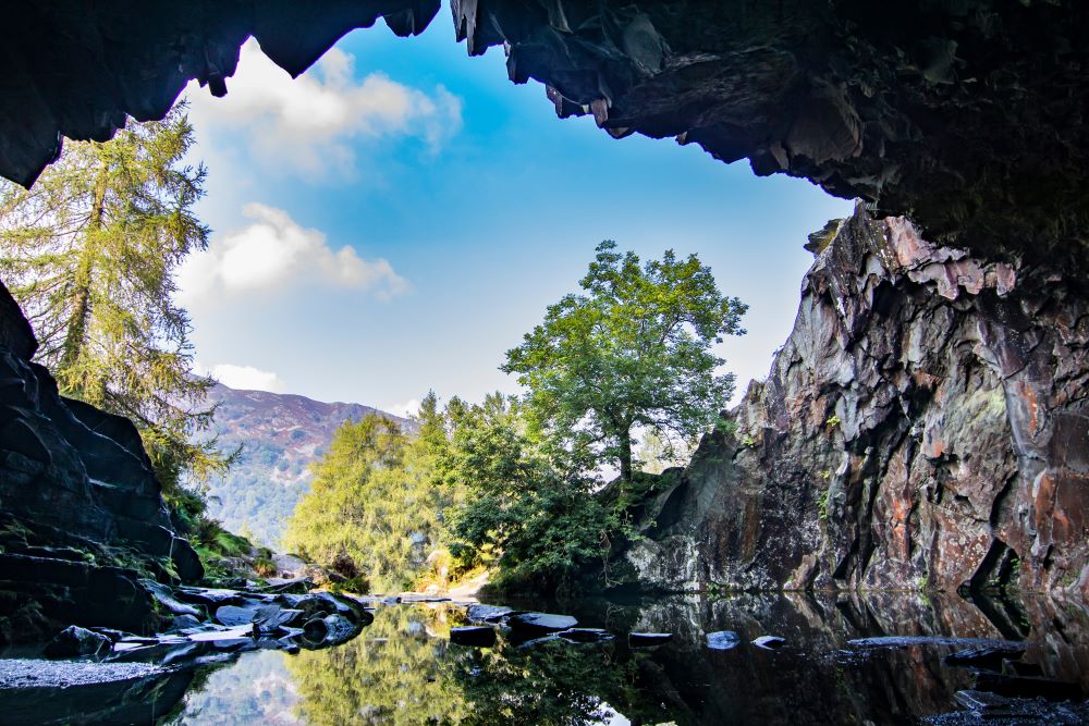
OS GetOutside Champion, Jack Anstey, takes us on a short, steep walk with some of the most rewarding and spectacular views the Lake District has to offer.
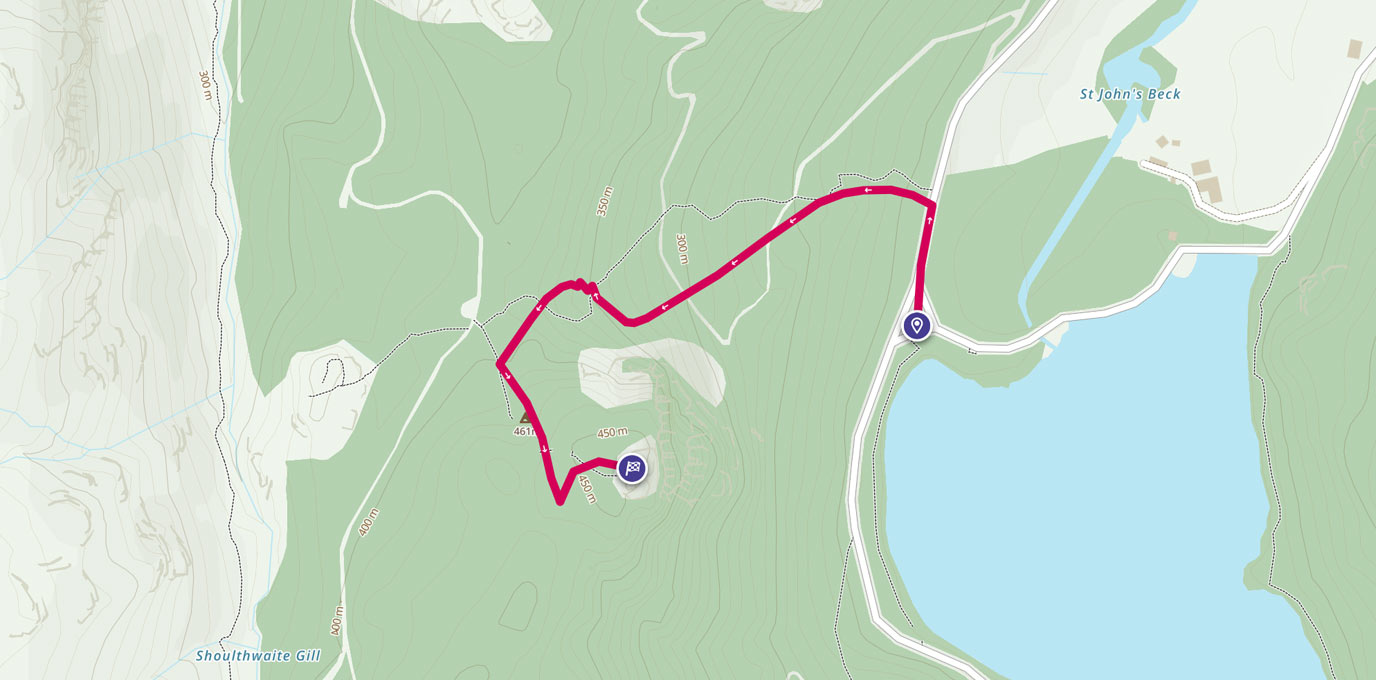
NY 30676 18933
I’m a huge fan of sunrises, to me there’s not a better way to experience the outdoors.
It’s not always easy to get yourself out of bed when it’s that early, dark and cold, but it’s rarely something you regret. There was a crisp, dry chill in the air as I pulled up in the car park almost directly beneath Raven Crag towering above, barely visible in the pre-dawn glow.
The footpath starts around 20 metres away from the car park, and right from the get-go it’s steep and unrelenting; the hike isn’t particularly long, or technical, but it throws you straight into the deep end and does let off until you’re at the summit.
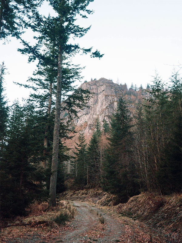
Track crossing
The first rest spot is as you reach fire road cutting through the woodland. From here the tall pines frame Raven Crag mirroring images of Yosemite Valley in California, where vertical walls of light rock dominate every scene.
Crossing the track and continuing upwards takes you out above the tree line into a recently deforested area, and it’s from this point that you are able to start to take in the beauty of Thirlmere.
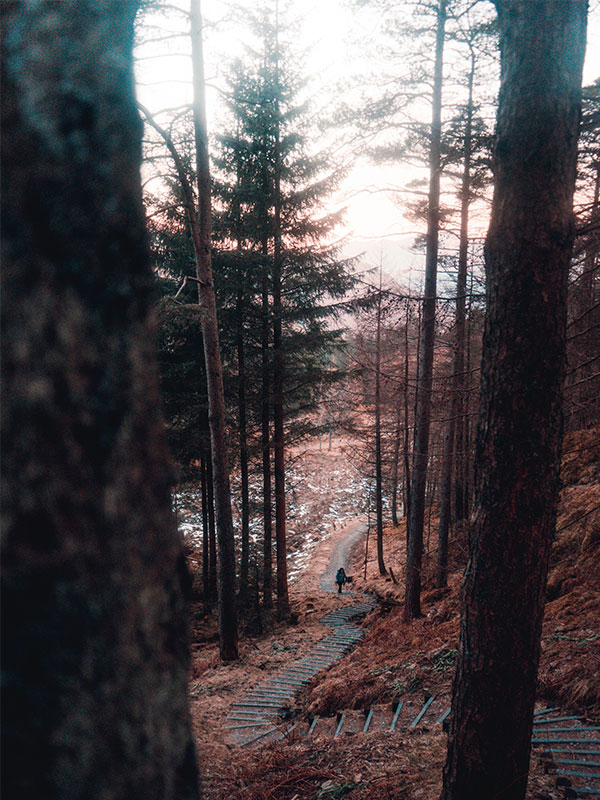
A short while later the path flattens out for a brief period and you approach the final climb up to the Crag, here wooden steps wind their way through the pine trees and you seem to gain the last 100m of elevation in to time at all.
A wooden boardwalk guides you the rest of the way to the summit, where there is a viewing platform and guardrail.
Boardwalk steps
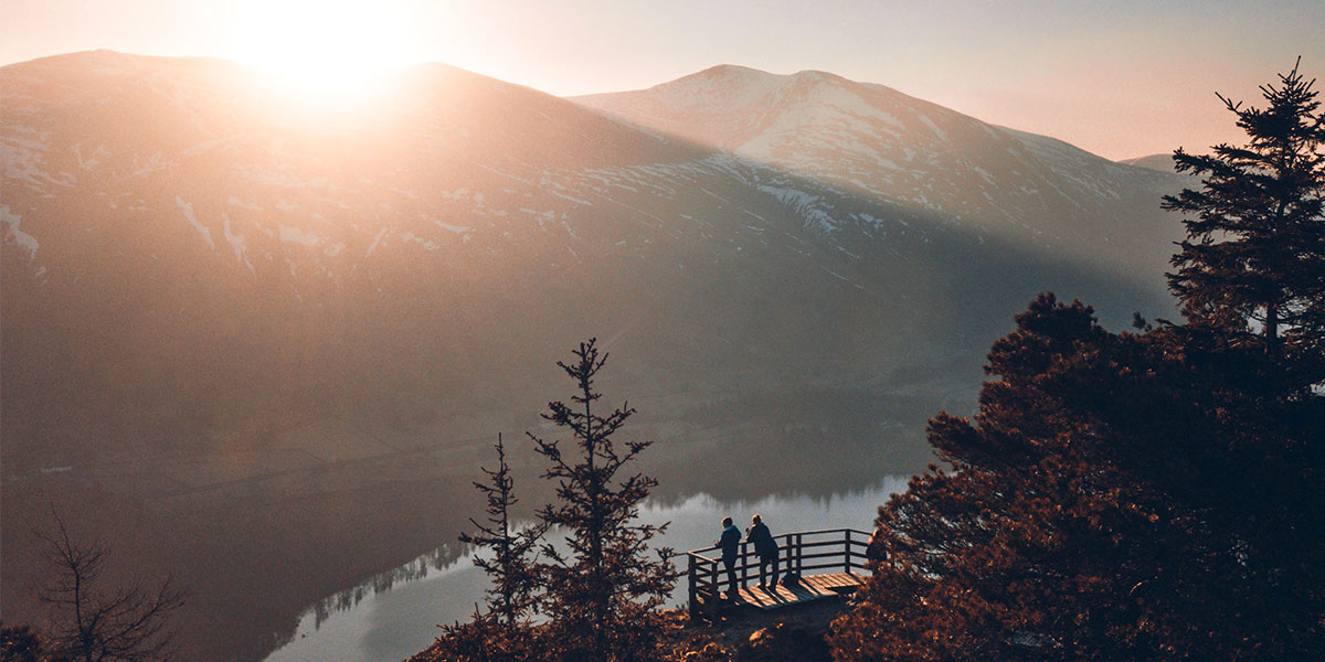
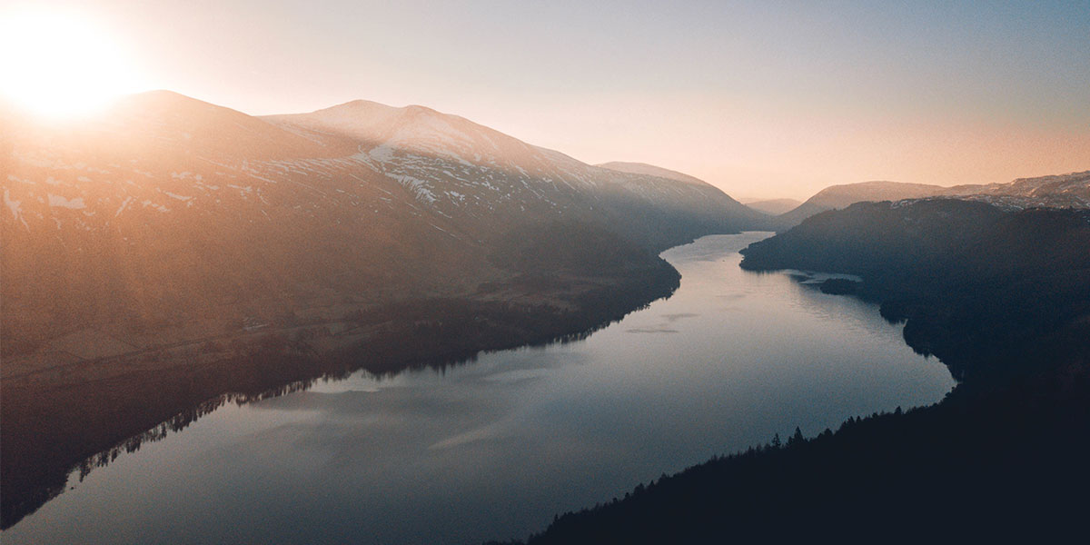
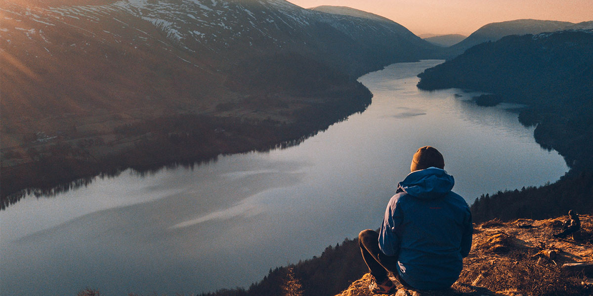
As I walked the final few steps of the boardwalk, the full beauty of the Lake District was presented to me: a still and glasslike lake snaked into the distance, as the first few sun rays began beaming over the tops of the Helvellyn range, casting a warm pastel glow to the horizon.
Simply put, this was one of the most spectacular sunrises I’ve witnessed, and in a setting that was so idyllic and picturesque it was hardly believable that it was in the UK, only half an hours walk from the car.
