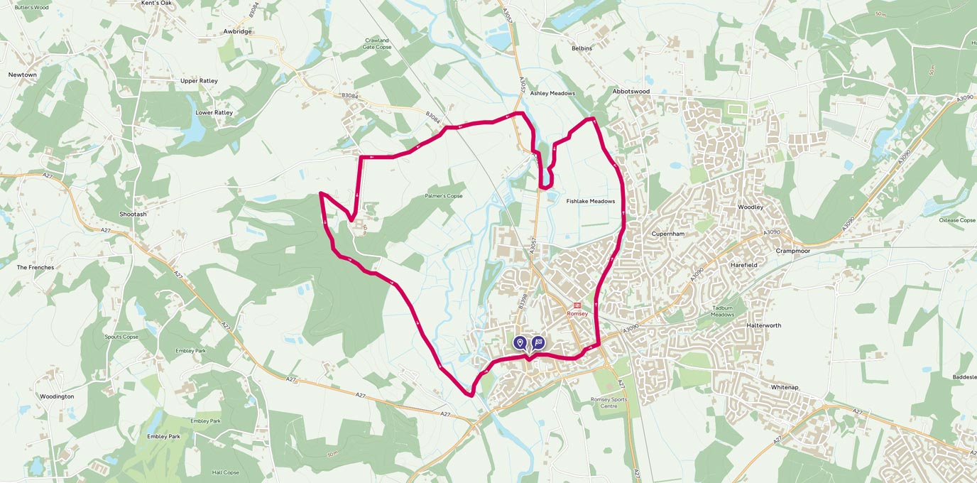
Visit Romsey and explore this small market town packed full of history. Take this walk to explore water meadows, working mills and lots of animals!
SU 352 211
It was one of those weekends where you don’t know what the weather is going to do so making plans is a little more tricky and although you’ve got commitments later in the evening, you don’t want to spend your whole day moping around the house in anticipation. On Saturday morning, while still in bed, I turned to my partner and declared with assertion that we were going to go out with our furry friends.
I had no idea where we were going, so I looked on OS Maps to find routes that were within a 30 minute drive from our house. I found an interesting route that had been authored by the AA, which took you around the historic town of Romsey. Complete with our wet weather gear, we set off. There are quite a few places to park in the centre of Romsey, but we parked in Crosfield Hall as it was easy and inexpensive.
SU 347 208 – Sadler’s Mill
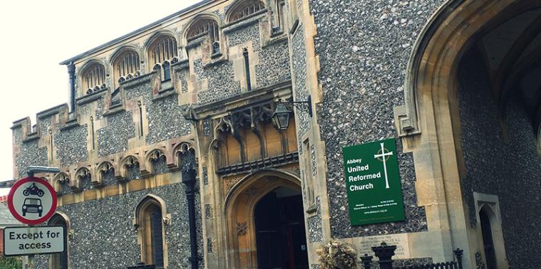
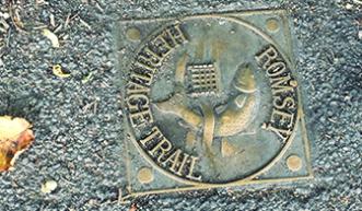
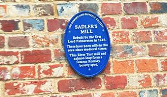
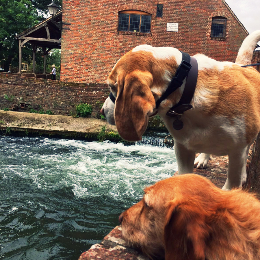
The route starts by taking you through the town centre and on to the abbey (despite this walk being called ‘Romsey’s Grand Abbey’, this is the only one on the walk!). From there you go on to the picturesque Sadler’s Mill via the Romsey Heritage Trail that runs past a row of houses. Sadler’s Mill is probably the best known of Romsey’s surviving mills and is apparently the only mill to be developed on the main course of the River Test. If you visit the mill in Autumn, you may even be lucky enough to witness salmon leaping out of the water to get upriver.
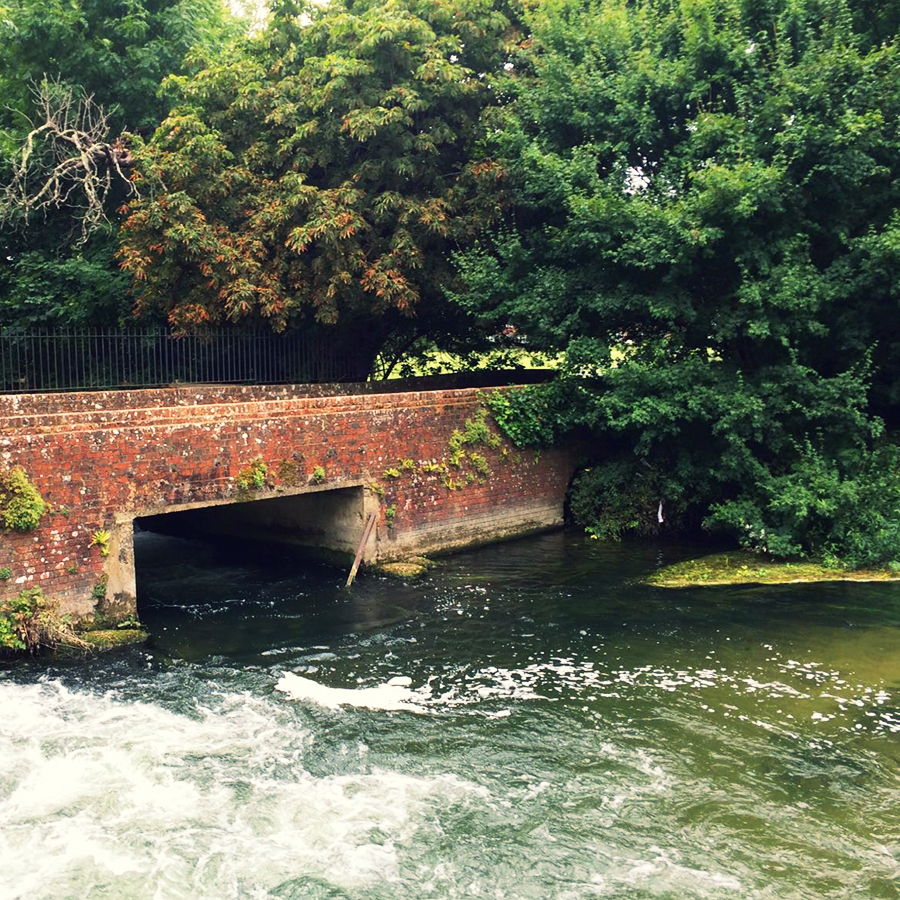
Be careful when you go around the mill as it is easy to miss the right footpath. You’ll know if you’ve gone the right way when you start heading through some farmland, and into the home of some very timid, friendly cows. I bet you wouldn’t expect to find so much wildlife on this walk – we certainly didn’t! There are a suite of marked footpath signposts around here, make sure you follow the directions to ‘Squabb Wood’ to stay on the right route.
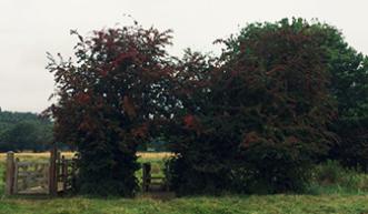
Now, I know the Countryside Code, and know that you shouldn’t really encourage your dog to get in the face of cows BUT Daisy (all cows are called Daisy right?) was so adorable. This Friesian was definitely young and showed no fear as she followed Teddy Beagle along the fence, seemingly wagging her tail as she went. After a little flirt, we carried on our way, and went through the kissing gate that can be found under the autumnal arch at the end of the field.
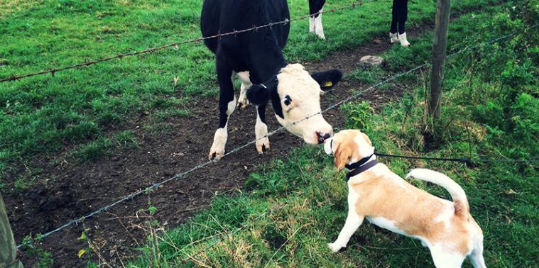
Teddy found a new girlfriend – and we think she’s very pretty!
When you get to the end of the footpath, there is a stile. Cross over this, and you’ll enter the thick woodland of Squabb Wood. It had been raining all week, and the ground underneath was muddy and wet although the air was fresh and pleasant.
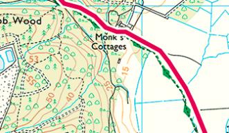
As you head up the hill into the woods, the footpath eventually disappears. We couldn’t see the footpath that we were supposed to be following so we used the app to try and navigate our own way through the woods.
Eventually we came out on a small road that is the driveway down to Roke Manor. Again, we passed through fields of farm animals – this time it was lots and lots of noisy (and slightly smelly) pigs.
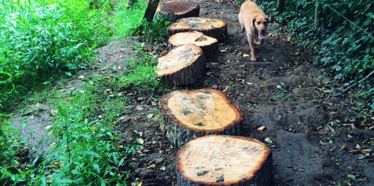
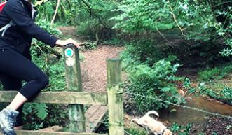
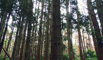
Squabb Wood can be a bit of a maze, you definitely need a map!
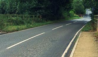
We followed the footpath along from Roke Manor to Roke Manor Farm. For the next bit, you’ll need to walk along a minor road, Old Salisbury Lane, and although it was a quiet weekend, there was a fair amount of traffic. I wouldn’t recommend taking younger children along this route!
Follow the road all the way to the T-junction, crossing over the main railway line to Salisbury from Southampton as you go.
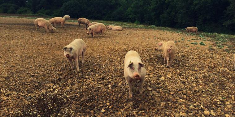

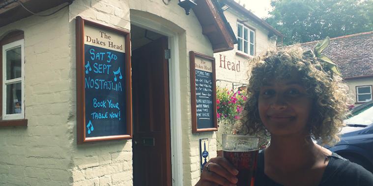
SU 350 232 – Duke’s Head
Opposite the T-junction is a lovely country pub, The Duke’s Head, aka the perfect lunch stop. The staff here are very friendly, the ale is local and the food is tasty.
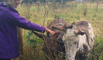
The footpath continues behind the pub (the staff are very happy to help point you in the right way). If you were playing I-Spy animals, you’d be in luck with this walk. Around the corner are two friendly donkeys that will happily come over for some fuss.
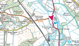
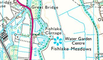
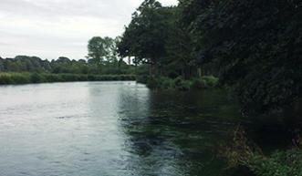
The remainder of the walk is an easy stroll through Romsey’s water meadows. These expansive mazes of water and rivers are surprisingly beautiful especially around Fishlake Cottage. Needless to say my small labradoodle LOVED this part of the walk, dipping in and out of the water like an over excited otter.
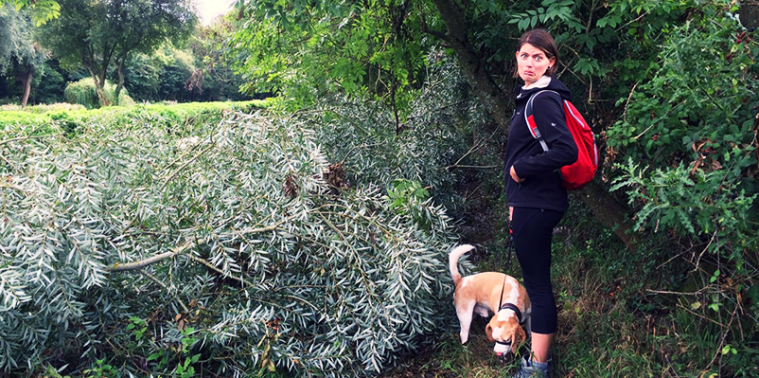
Uh-oh! Road block! The bad weather leading up to the weekend had caused some damage to the trees in the area, and at one point our agility was tested as we climbed over one of the storm’s victims. By this point, the sky was looking angry and the dark grey clouds had started to loom over us, and when combined with the coverage from the trees, cast us into an unfriendly darkness. We picked our pace up to get back into the centre of Romsey before the heavens opened.
This isn’t a hard end to a walk, the path is flat and clear and eventually you join a paved footpath that leads residents of the local housing estate into the town.
SU 360 227 – Fallen tree alert!
This route had proved to be interesting, and is worth exploring if you find yourself in the same situation as we were. Although the majority of the route is flat, the terrain is mixed. The wet weather had made the woodland slippery and muddy underfoot, and the inclusion of on-road parts means that it isn’t the most family friendly or accessible walk. There’s still plenty to see in Romsey and you can chop the walk up into smaller, easier parts (such as Fishlake Meadows) if you just wanted a shorter walk.
9.6 km SU 352 211
9.7 km / 6 miles
