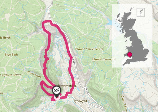
Pen-pych sits at the head of the Rhondda Fawr Valley in South Wales, Rhondda Valley’s very own Table Mountain.
Experience the spectacular views of Pen-pych circular walk. This is such a varied walk, which is steeped in history. It passes by some large dramatic waterfalls, two of which are Nant Carnfoesan and Nant Melyn. You can visit an Iron Age settlement of hut circles, views of a former colliery and an old disused railway tunnel.
SS 924 991
The walk starts at the far east of the large forestry car park. The walk is well sign posted by the loops and links footpath signs.
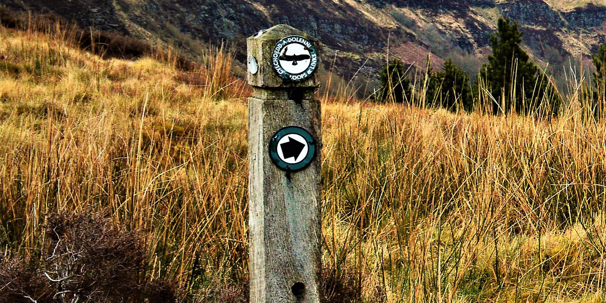
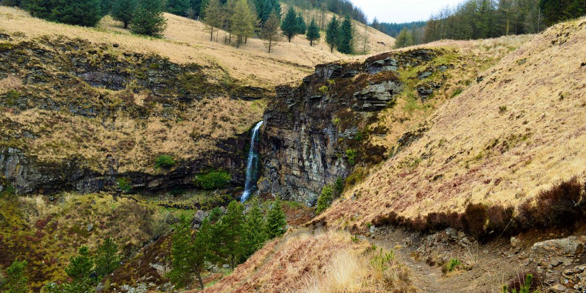
The path is well defined and gradually takes you up through the pine trees to the first dramatic waterfall. It should take approximately 20 minutes to reach the waterfall. Stop to catch your breath before the path becomes steeper and a little tricky!
SS 919 995 1.38KM


The section of footpath from the waterfall to the summit of Pen-pych Mountain is very narrow and uneven underfoot. It can get muddy and slippery after prolonged rain, so take care as this section is also very steep.
It’s only a short scramble to the top as the flat summit of Pen-pych is reached. The views from the summit are fantastic! The Rhondda Fawr Valley lies before you, villages as far as the eye can see, with steep forest covered hills that make up the valley sides.


After taking in the fantastic views turn around and head away from the edge of the mountain towards an old dry stone wall.
Once you pass the wall you will see a path descending into a dense forest. The former site of the old colliery will now come into view below. It has now been landscaped to blend in with the surrounding area.
Walking through the dense forestry below can be a little wet and muddy. Its quite dark as you make your way through the moss covered trees, this adds to the beauty of this wooded area.
SN 920 005 3.01KM


Once you reach the clearing the path becomes a little rocky. Walk towards the stream up ahead and the large metal bridge.
This stream travels down a narrow valley before pouring out at the head of the old colliery below. This is another large dramatic waterfall that can be seen later on the walk. After crossing the bridge it’s a short walk to Nant Carnfoesan and Nant Melyn waterfall.
SN 925 016 5.58KM
This stream travels down a narrow valley before pouring out at the head of the old colliery below. This is another large dramatic waterfall that can be seen later on the walk. After crossing the bridge it’s a short walk to Nant Carnfoesan and Nant Melyn waterfall.


Cross over the narrow concrete bridge and head towards the stone steps at the base of the bank on your left. Climb these steps and make your way up the steep bank through the heather towards the Rhigos mountain road.

When you reach the top the footpath is well defined and you will see a wooden sign post directing you to the right, heading down hill once more to the old colliery site. The path passes the Iron Age stone hut circle and there are usually goats grazing in this area.

SNN 929 000 7.26KM
Keep following the footpath down the hill where the old landscaped colliery can be seen below. To the side of the colliery in the mountain side is the entrance to the Rhondda tunnel. An old disused railway tunnel that carried coal to the Afan valley. This tunnel is approximately 2 miles long and is cut into the mountain nearly 1000 feet underground. There are currently plans underway to reopen this tunnel as a cycle track.


When you reach the base of the mountain, follow the lane to the barrier onto Coldra Road. It’s from here you walk through a residential area onto the main road and back to Blaen-y-Cwm Road, back to the car park.
5.70KM SS 923 990
9.17 km / 6 miles
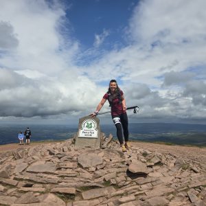
By Tracy Purnell
Tracy Purnell – OS Champion
Meet OS Champion Tracy Purnell – dog lover, trail runner and Brecon Beacons National Park Ambassador.
