Llyn y Fan Fach & Llyn y Fan Fawr: A Car Parking & Circular Walk Route Guide
Llyn y Fan Fach, meaning Lake of the Small Hill, is one of the most stunning locations in Wales and a must-visit hiking spot.
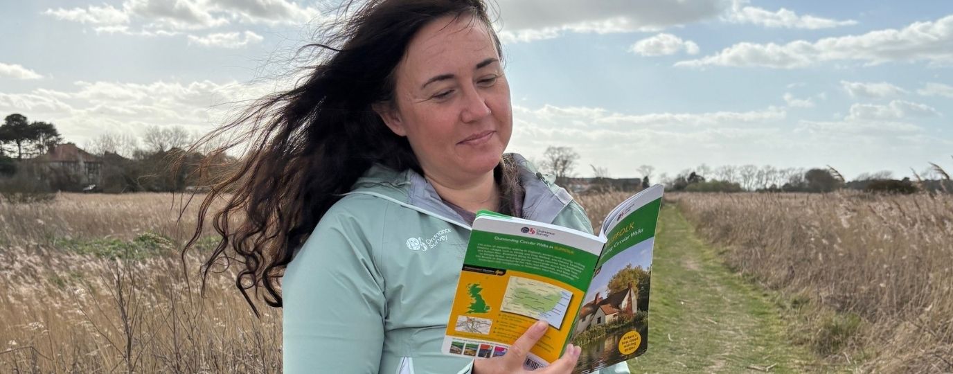
OS Champion Tracy Purnell takes us on a half day circular walk across Llyn y Fan Fach and Llyn y Fan Fawr in Wales’ Bannau Brycheiniog (The Brecon Beacons National Park)
The Western Beacons also known as the Carmarthenshire Fans or the Black Mountain Range (not to be confused with the Black Mountains to the east of the national park) has to be the most remote area of the whole of the Brecon Beacons National Park (Bannau Brycheiniog).
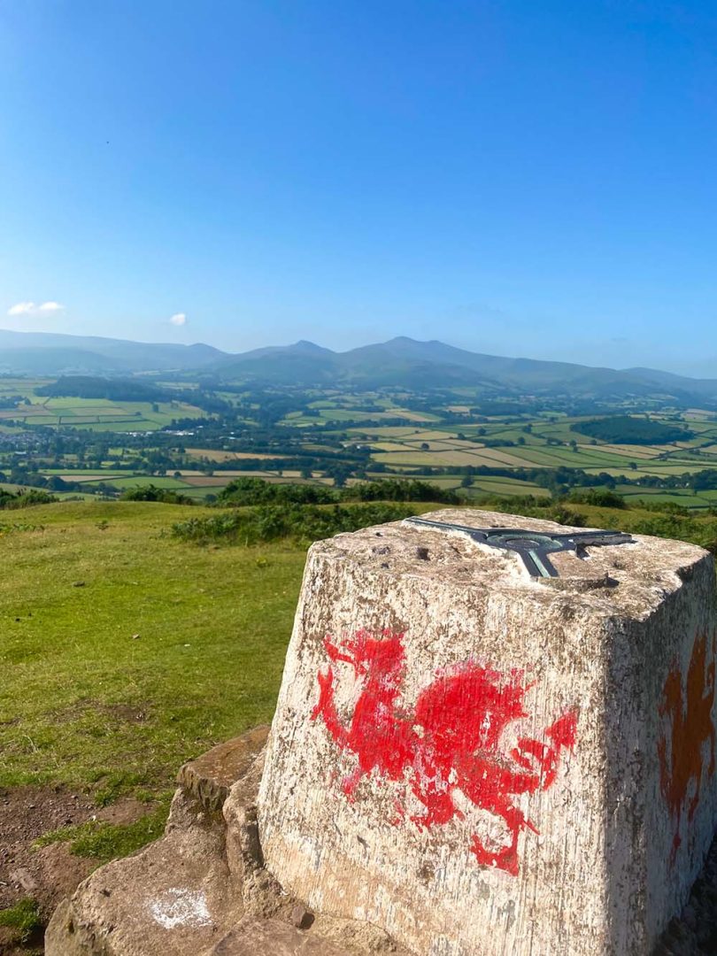
Marked by an OS triangulation pillar, Fan Brycheiniog (a peak which stands at 802.5 metres) is the highest point in the Black Mountain Range. This route is a scenic low level and high level ridgeway walk, which also passes by Llyn y Fan Fach and Llyn Y Fan Fawr. These two beautiful lakes are surrounded by amphitheatre like escarpments.
If you’d like to get in touch with fellow hikers for advice and inspiration join our community on Facebook.

EXPLORE THE
OS Shop
We are with you every step of the way. Shop our trusted walking and hiking maps and guidebooks so you can explore the outdoors with confidence.
Go to the shopLlyn y Fan Fach Car Park
Llyn y Fan Car Park is an inconspicuously signed gravel car park. Use the postcode: SA19 9UN for your sat nav. Alternatively, find the pin on OS Maps here – Llyn y Fan Fach Car Park. Reaching the car park is a challenge in itself as the drive is through narrow country lanes. The car park offers parking for around 30 cars.
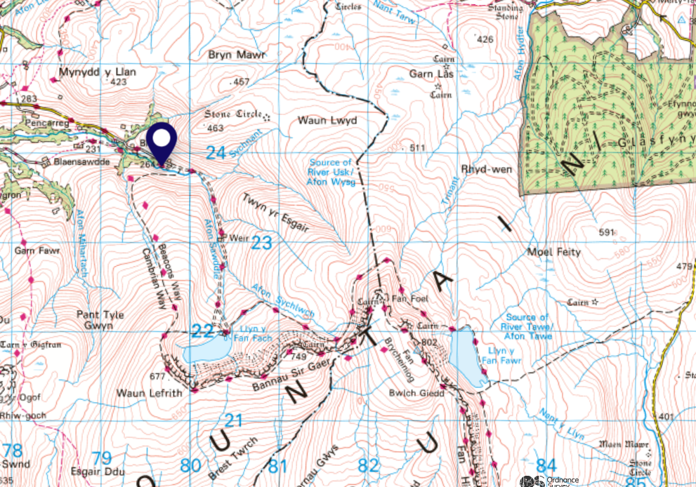
SN 799 238
The walk starts at Llyn Y Fan Fach car park in Llanddeusant. Be aware the road leading to the car park is narrow and the road surface extremely uneven so please take care when driving to the start of the walk. Once you step out of your vehicle you are immediately welcomed by a tranquil haven, surrounded by shapely hills with the river Afon Sawdda flowing by.
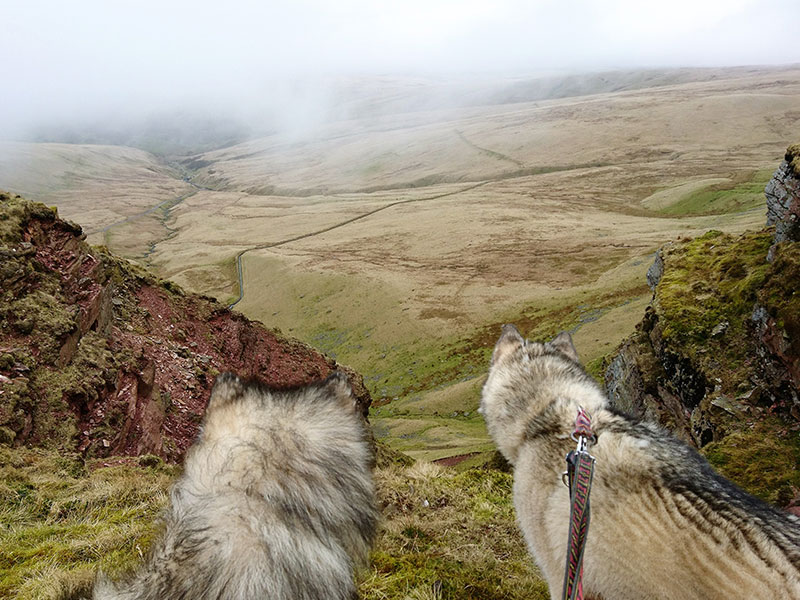
Please keep your dogs on a lead throughout this walk as there are sheep in this area, some may be out of sight behind banks of the river or in low level areas. The high escarpments may also pose a hazard to off-lead dogs and there are areas of loose rock at the edges. Stick to the path and keep your dog close to stop the risk of it falling over the edge.
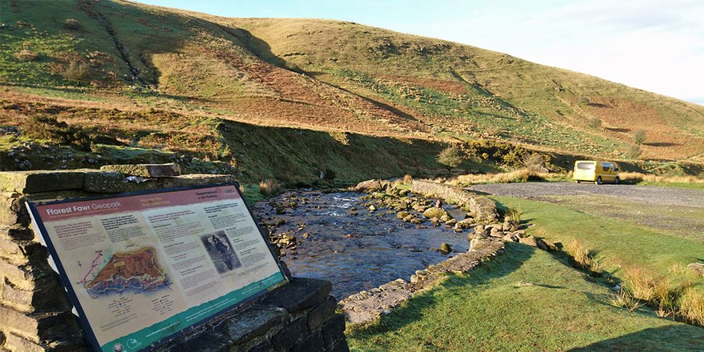
The start of the walk takes you south alongside a picturesque river drawing you towards the first lake Llyn y Fan Fach, which is the source of Afon Sawdda. The sharp peak of Picws du can be seen in the distance and looks increasingly impressive as you draw close. You will pass by a small fishery and some beautiful waterfalls on route.
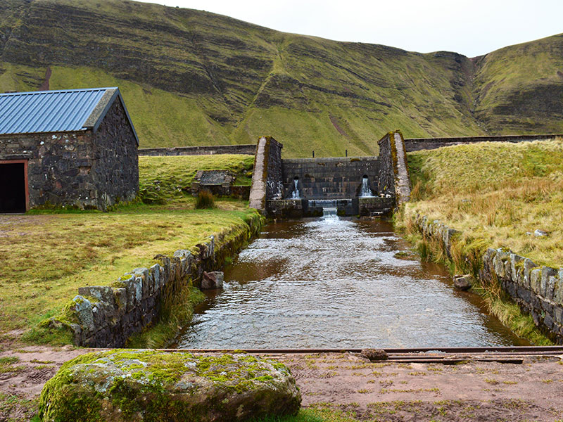
SN 803 220
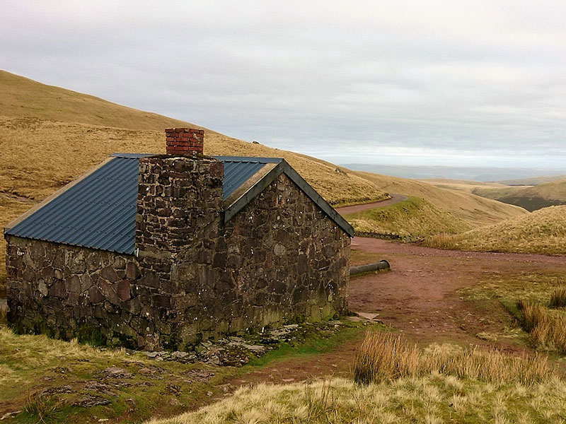
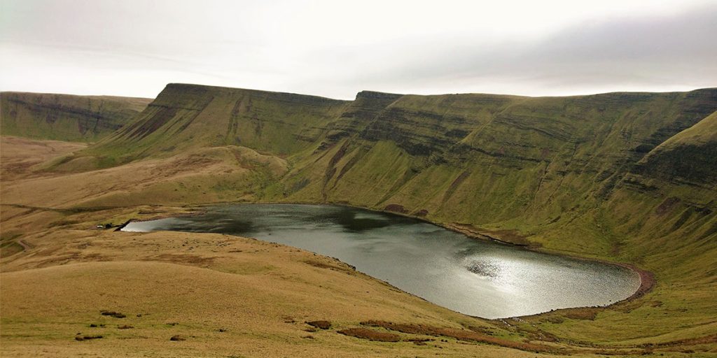
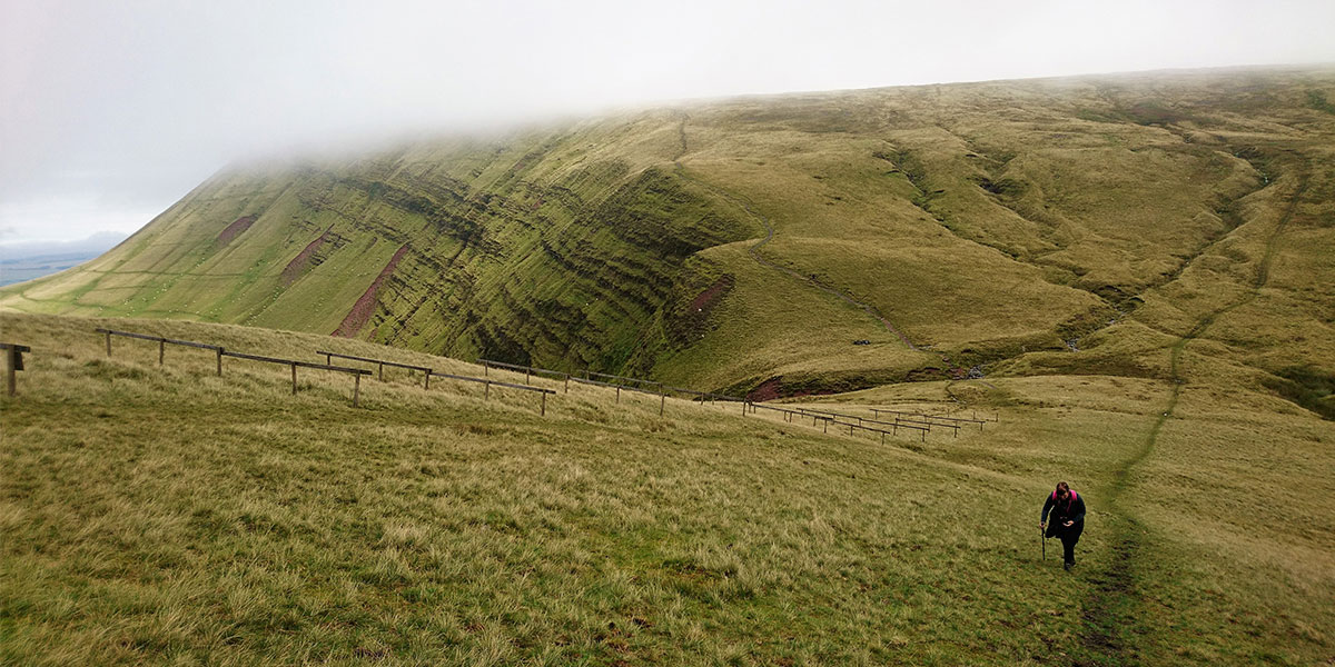
The building at the top of the path is a rescue hut, which offers emergency shelter to walkers in extreme weather conditions. However, this stone building will be the last thing that captures your attention as the beautiful lake Llyn y Fan Fach comes into view.
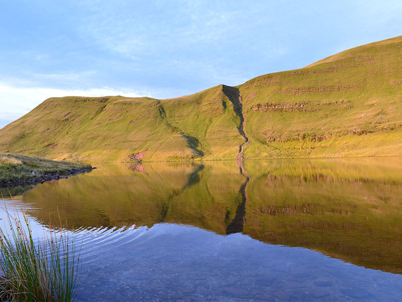
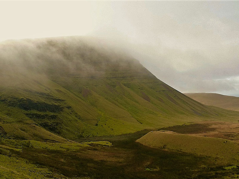
Llyn y Fan Fach sits beneath the amphitheatre-like escarpment of Bannau Sir Gaer. This enchanting lake is steeped in Welsh legend and is famously known as the home of the Lady of the Lake.
SN 796 219
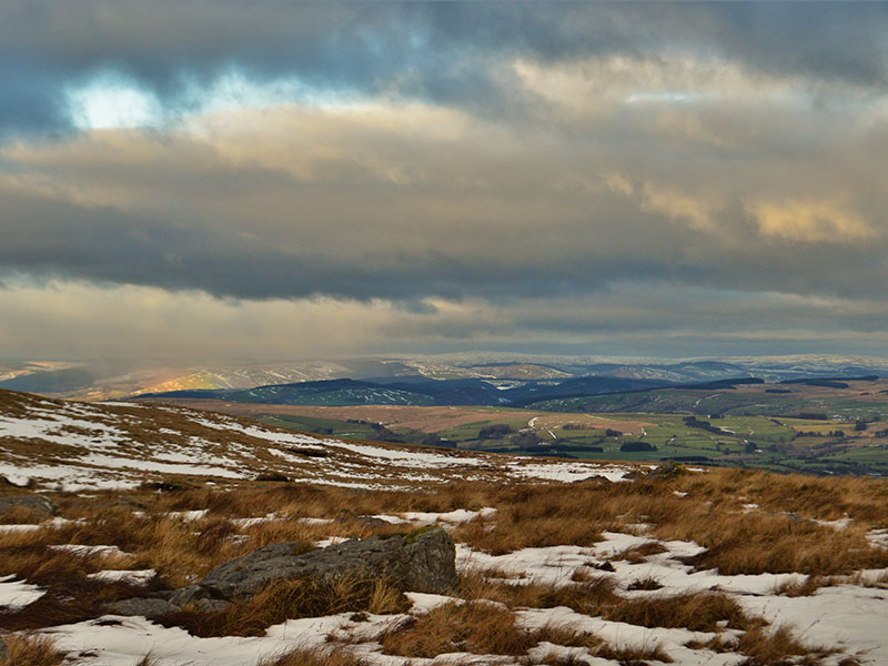
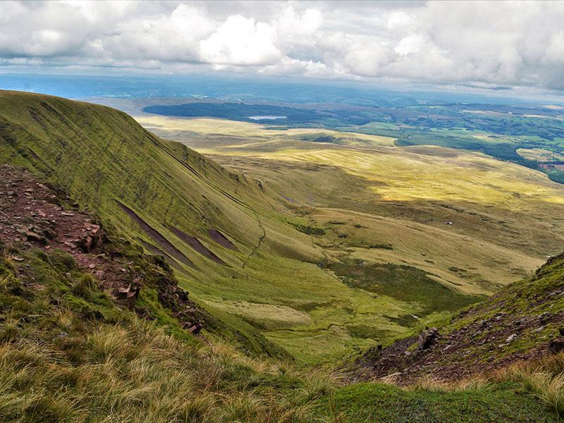
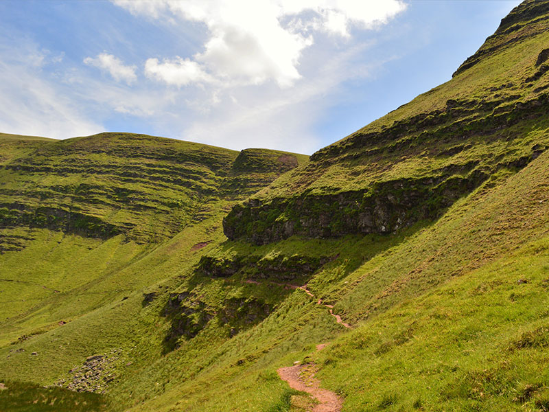
The well-defined footpath along the ridge sweeps around the edges of the contoured peaks, making this the ideal spot to take in the jaw-dropping views. In the distance to the north the Cambrian Mountains can be seen on a clear day, behind a patchwork of fields and small farm dwellings.
To the south, you’ll see vast moorland of shake holes and rocky terrain. Many of these features lead into small, hidden cave systems.
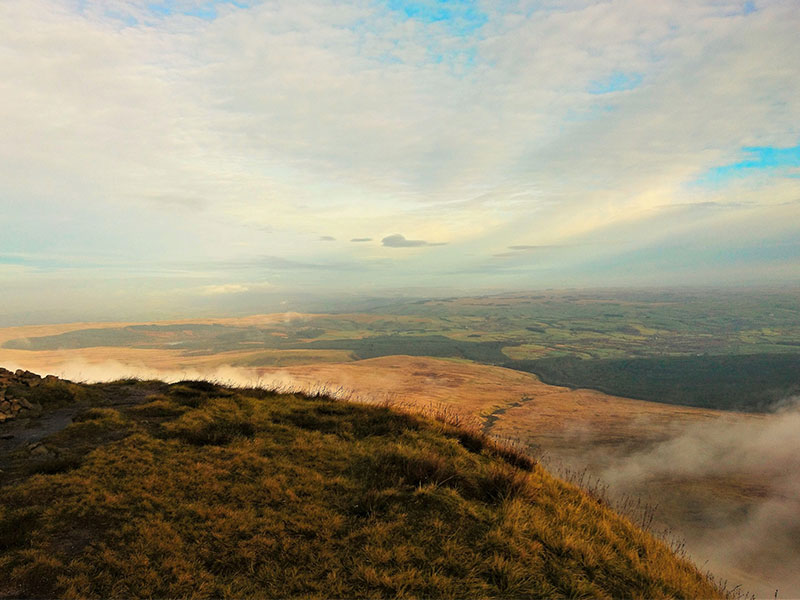
The area is so enchanting, even on a misty day it adds to the atmosphere and feel of place.
Loose scree lines parts of the ridge, so take care not to walk too close to the edge. On a misty or windy day height can be deceiving and there may be a risk of being blown over.
SN 811 218
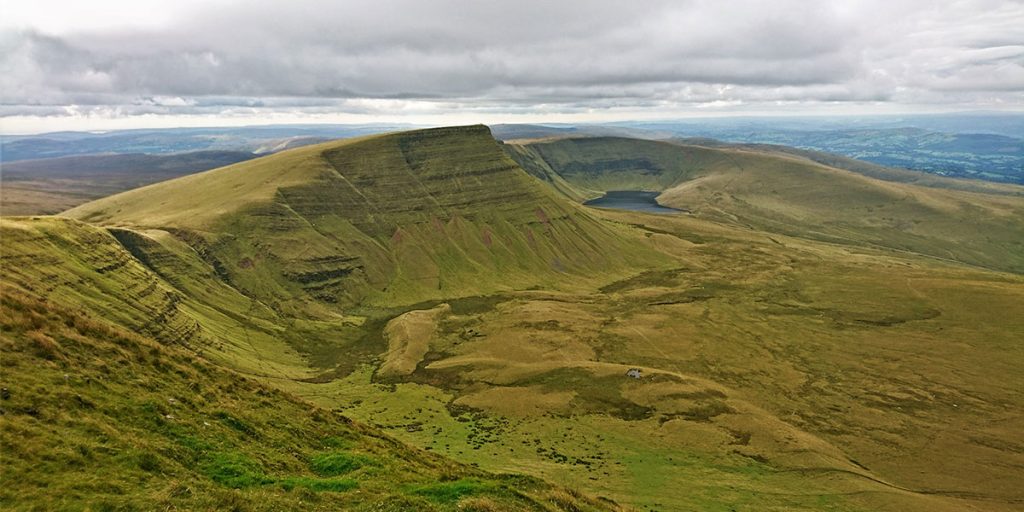
The summit of Picws Du (the second highest peak in the Black Mountain Range) is marked by a Bronze Age round barrow. On a clear day the view south from this peak reach as far as the Bristol Channel. The body of water to the north is the Usk Reservoir.
Following eastward along the ridge, the path descends into a small valley. Continue across a narrow stream to a sharp ascent towards Fan Foel.
SN 821 224
Fan Foel has a Bronze Age burial mound at its summit. Only in recent years has it been excavated, with cremated bones, a broken pottery urn and flint tools found within a cist. These are now at Cardiff University being conserved.
The monument and surviving elements have now been protected beneath matting and backfilled with stone and earth.
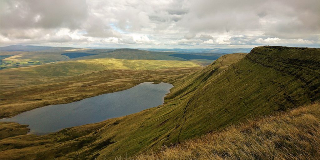
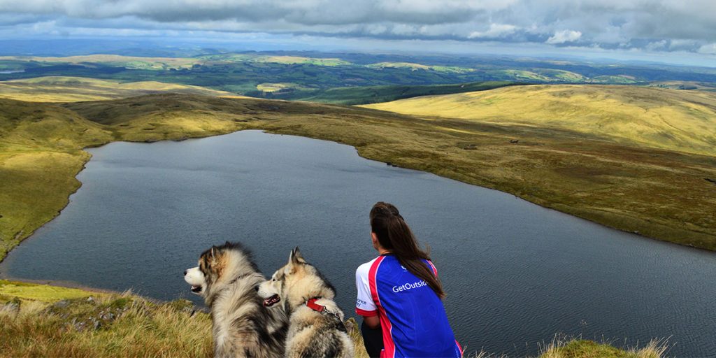
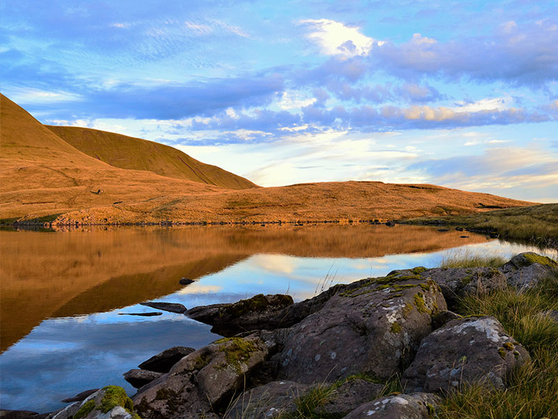
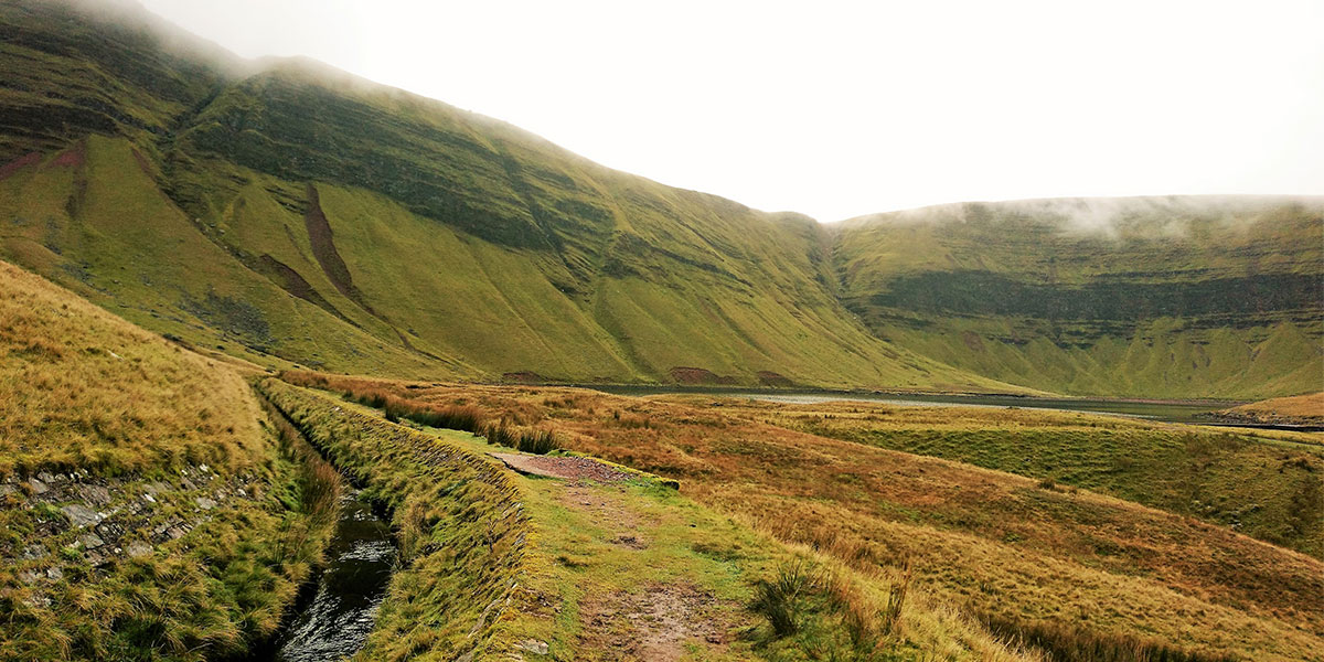
Next to come into view is Llyn y Fan Fawr, meaning ‘lake of the big peak’ in Welsh. It lies beneath Fan Brycheiniog and was created due to glacial movement during the ice age. It is one of the largest lakes in South Wales.
SN 825 218
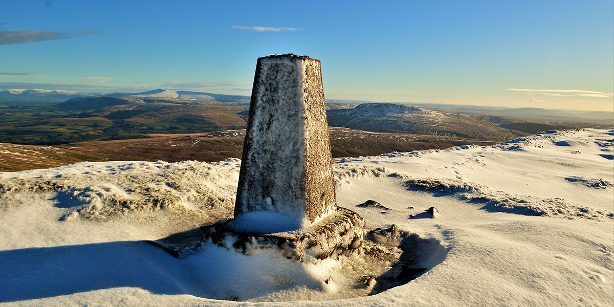
Although the whole of this ridge walk boasts impressive views, the panoramic view at the OS triangulation pillar on the summit of Fan Brycheiniog has to be my favourite.
The peaks of Fforest Fawr area, Central Beacons and the Black Mountains can be seen laid out in a row. The famous humps of Pen y Fan and Corn Du sit centre stage of the surrounding beacons.
Heading east past the OS triangulation pillar and the stone shelter, the path drops down to the start of the rocky descent to the shore of Llyn y Fan Fawr.
A defined stone path takes you down to the lake which is maintained by the national park. It is a steep ascent, take care where there are sections of loose scree.
SN 833 214
The surrounding area of Llyn y Fan Fawr is marsh land and can be extremely boggy. There is a path which leads you around the lake, however it is not well defined. Walk around the far side of the lake and head west to continue the low level route back to Llyn y Fan Fach.
The low level section of this walk skirts close to the base of the escarpments. The path is narrow in places and the section below Picws Du runs directly under a cliff face with loose scree under foot. This section can be avoided by walking across the marsh land below, but it can be boggy in places.
SN 808 223
The path takes you away from the base of the escarpments towards a man made water course, which will lead you back to the rescue shelter at Llyn y Fan Fach.
The journey continues back to the car park along the riverside path.
EXPLORE THE
OS Shop
We are with you every step of the way. Shop our trusted walking and hiking maps and guidebooks so you can explore the outdoors with confidence.
Go to the shop
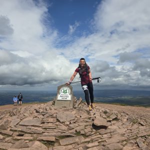
By Tracy Purnell
Tracy Purnell – OS Champion
Meet OS Champion Tracy Purnell – dog lover, trail runner and Brecon Beacons National Park Ambassador.