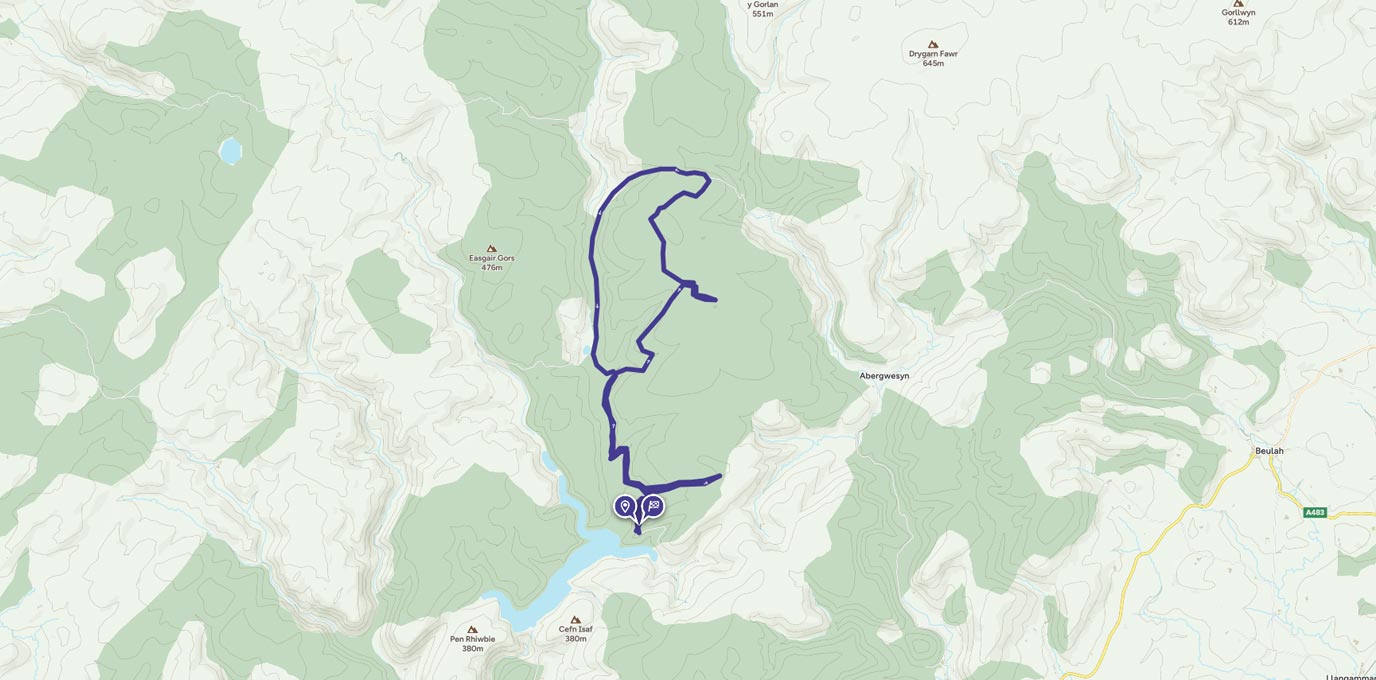
Llyn Brianne is a spectacular reservoir nestled in the Doethie Valley, Mid Wales surround by the beautiful Tywi Forest. It was named after a stream Nant y Bryniau, which in English translates stream in the hills. This picturesque body of water is the head of the River Tywi.
SN 811 501
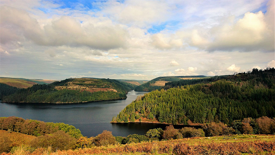
Beneath the tranquil waters of Llyn Brianne lies the old Fanog farm, which was flooded in 1972 to create the reservoir we see today. On the rare occasion the water levels drop, only then the farm is visible. This area boasts an abundance of wildlife including the rare red squirrel. Travel along the narrow road which winds up towards the dam. The scenic road then meanders on through the beautiful forest alongside the lake.
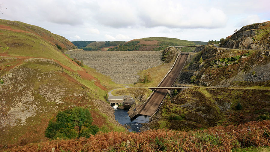
The spillway next to the dam is not on this ride, and has been used by thrill-seeking kayakers
There are many parking areas along the way to stop and take in the breathtaking views of the waters below. There is also a visitor parking area at the base of the dam’s spillway. The wonderful attraction of this area apart from its outstanding beauty is how accessible it is to people of all abilities, enabling all to experience its beauty.
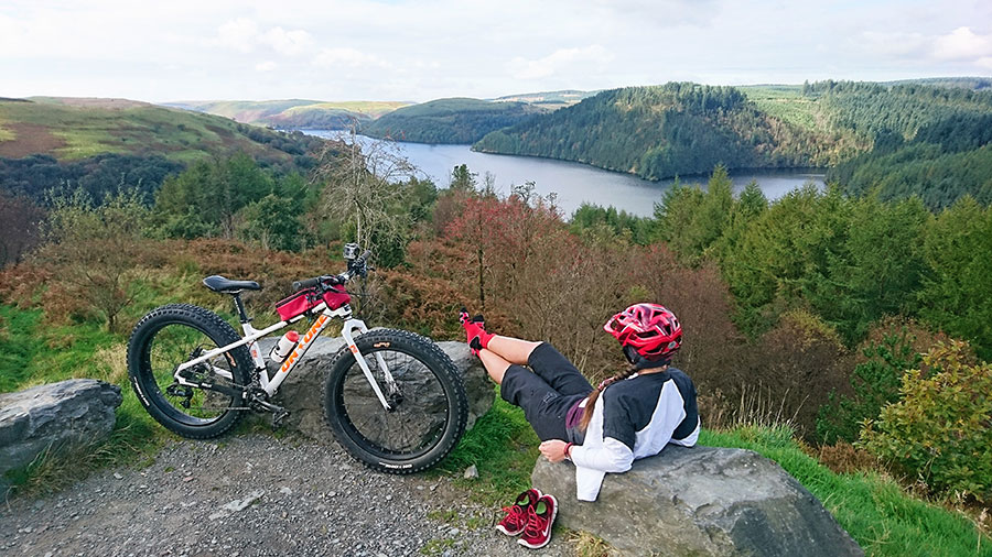
Take time out to enjoy the view
This area is popular with road cyclists, mountain bikers and walkers. It’s even an ideal location for an afternoon picnic and a short stroll.
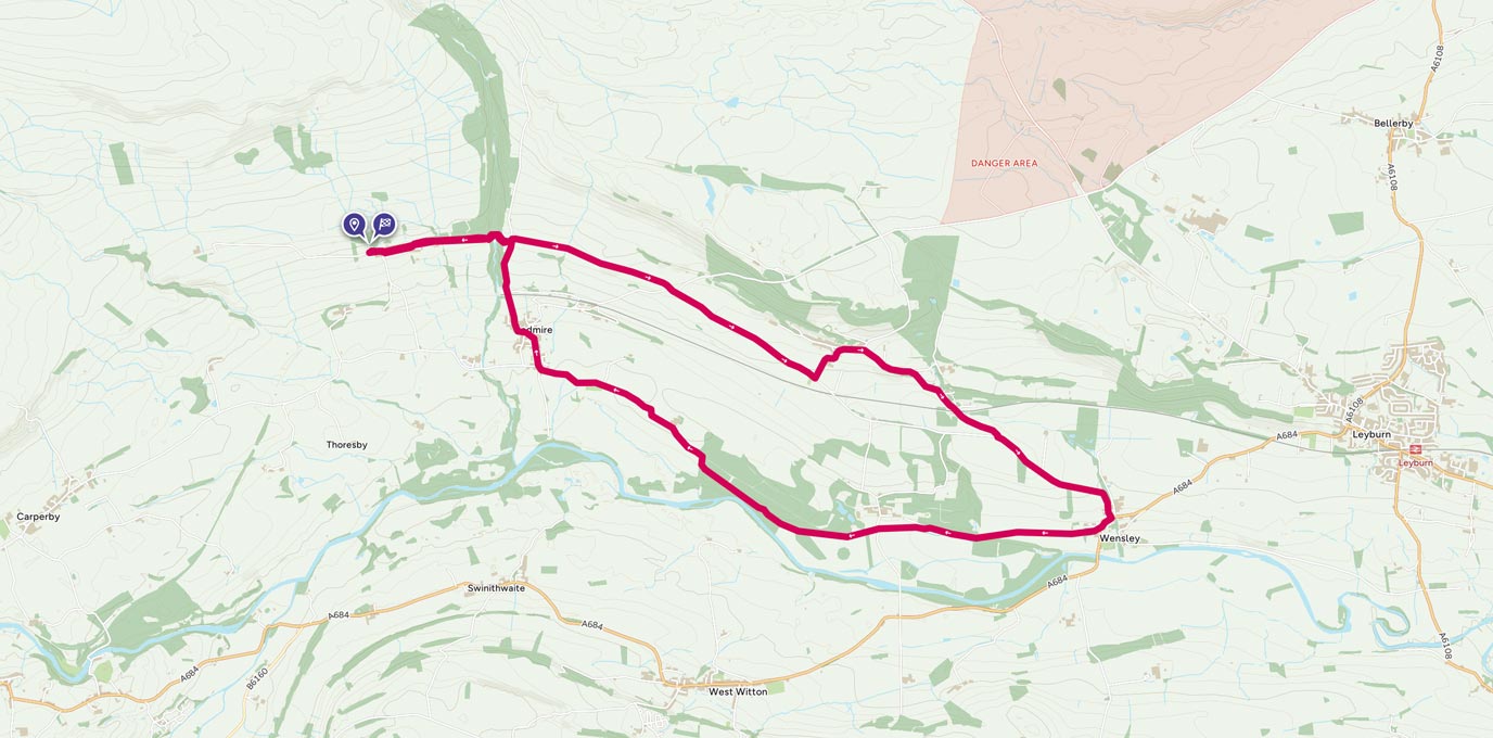
22 km SN 811 501
22 km / 14 miles
By Tracy Purnell
Tracy Purnell – OS Champion
Meet OS Champion Tracy Purnell – dog lover, trail runner and Brecon Beacons National Park Ambassador.