Cissbury Ring 5km
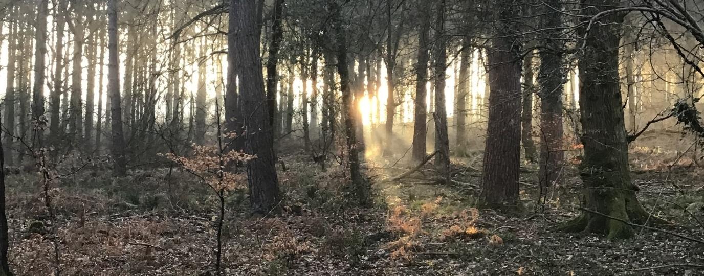
This scenic walk is best done at dawn or dust as you’ll likely have Cissbury Ring all to yourself apart from a handful of dog walkers out at that time of day. If you’re driving, it’s best to start at Coombe Rise car park which has plenty of free parking. Make your way up the base of the hill through a steep wooded section.
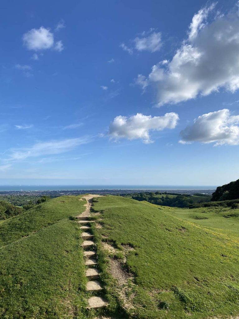
As you near Cissbury Ring, the scenery opens up into undulating hills and vast, open grasslands. This ancient hill fort, the largest in Sussex and among the most significant in England, dates back to around 250 BC. It also holds the remains of a Neolithic flint mine, one of Britain’s earliest, offering a glimpse into prehistoric industry and settlement.
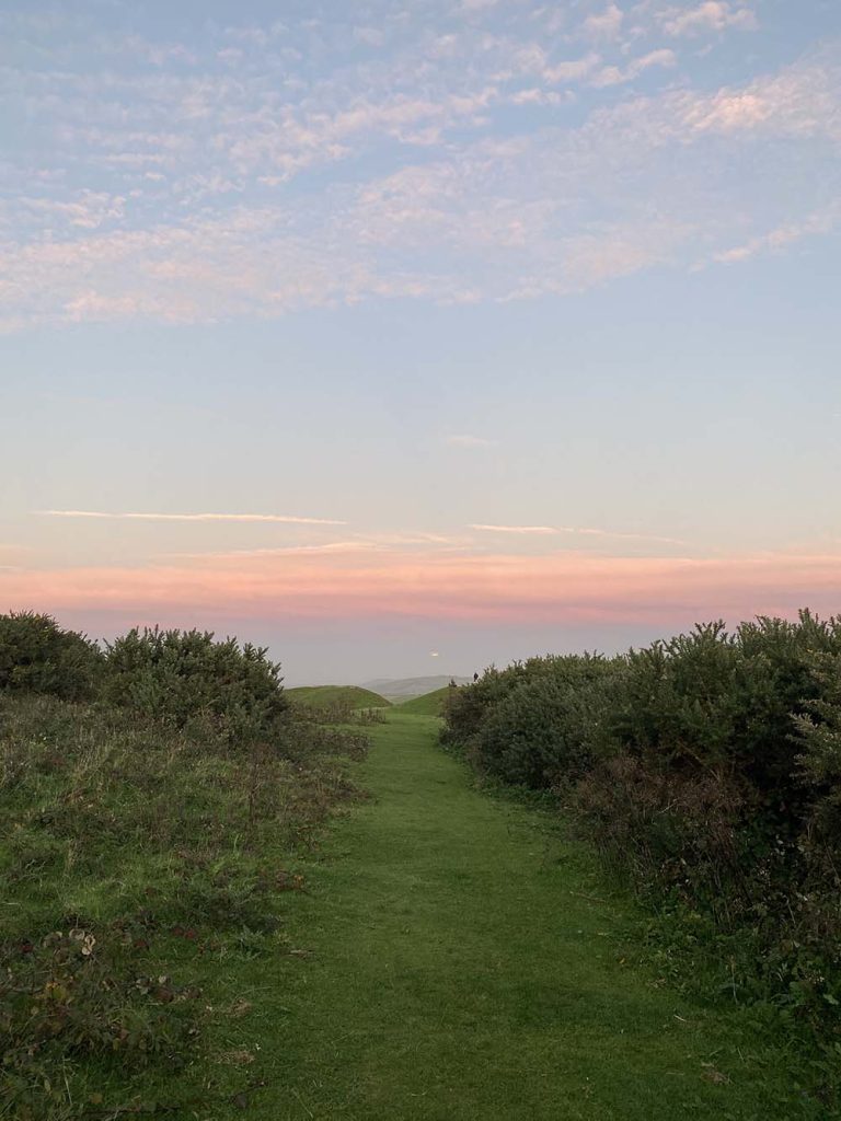
Reaching the foot of the hill, a steady climb leads you upwards, where each step brings wider views of the surrounding countryside. At the summit, you are rewarded with breathtaking panoramas of the South Downs, and on clear days, you can spot the shimmering waters of the English Channel. Encircled by centuries-old earthworks, Cissbury Ring hilltop is a haven for wildlife, from delicate bee orchids to butterflies fluttering among the wildflowers. Wild horses roam free in certain areas on the route, as do cows, and so dogs should be kept on a lead here.
Once you’ve taken in the history and sweeping views, you can either follow the path back to Findon or return to the car park at the hill’s base. This short scenic route is perfect to squeeze in before or after work.
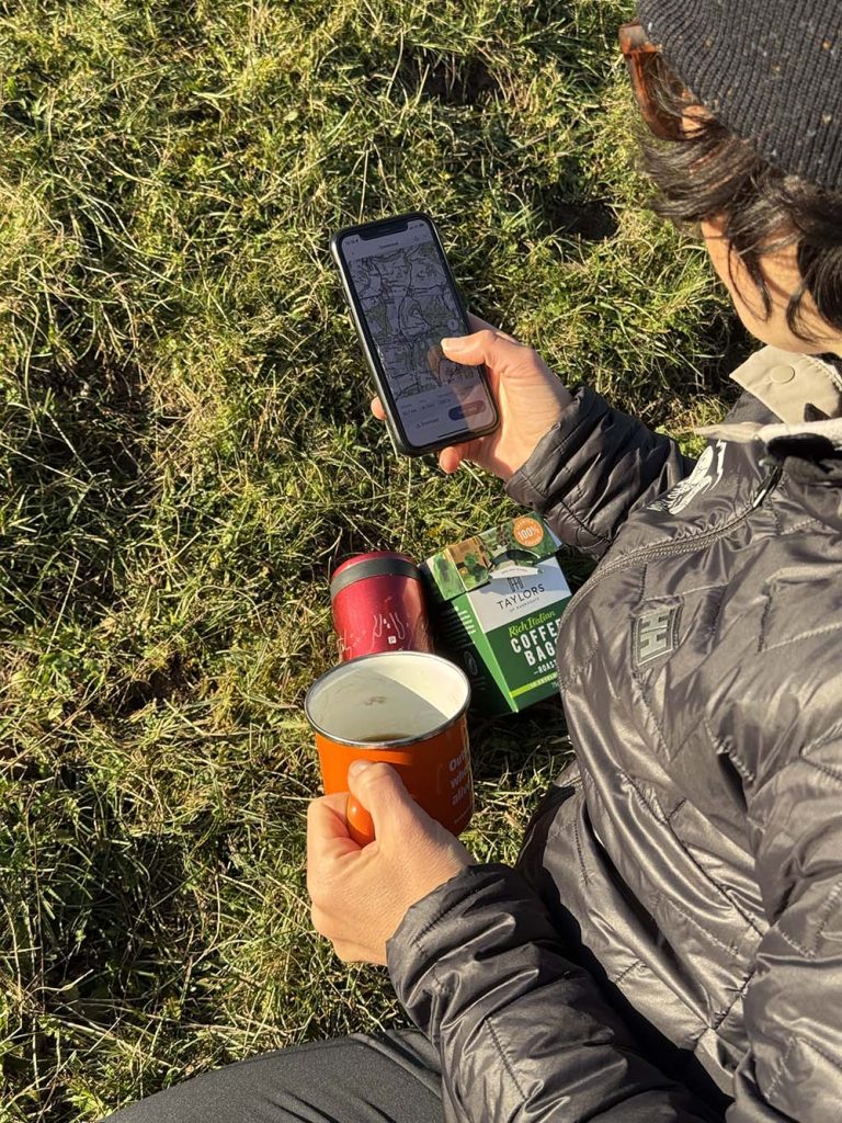
This route guide is part of the Taylor’s of Harrogate Coffee Bag Adventures Collection and was created by OS Champion Helen Newman

EXPLORE THE
OS Shop
We are with you every step of the way. Shop our trusted walking and hiking maps and guidebooks so you can explore the outdoors with confidence.
Go to the shop