Discover the beautiful gorge at the Birks of Aberfeldy immortalised in the poem by Burns
NN 855 486
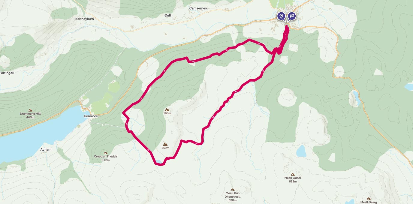
Start off from the free car park at Birks. From the upper car park, take the footpath which heads up the right hand side of the gorge and follow it as it rises above the Moness burn. After just over 1km, follow the right hand path through the trees signposted for Rob Roy Way.
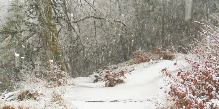
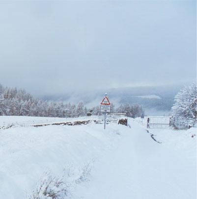
Follow the path until you emerge onto a road and then continue of the road for 1.3km, then take the path diversion at Urlar. Keep following the signs for the Rob Roy Way as you emerge from the fields and take the right hand track. Continue for approx 6km to the road at NN 800 432. This is a well marked track but in winter it can be quite a challenge when covered in snow so make sure you check your bearing whilst following the track.

9km
Once at the road, turn right and head down towards Tombuie Cottage. Just after the cottage follow the track in front signposted for the Rob Roy Way. Walk along this track for 9.5 km through Tullichuil Wood, Bolfracks Wood and Dunskiag Plantation and back to the road at NN 849 474. Take the path back to the Birks of Aberfeldy and cross the Burn a wooden bridge then head back down the right hand side of the gorge (opposite to the side you started out on).
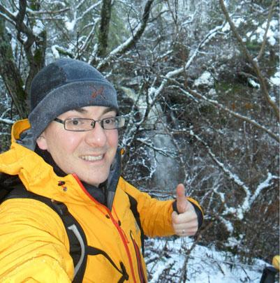
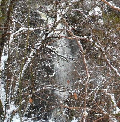
Be careful as this path can be a little wet and slippery and is quite steep in places however, take your time, and enjoy looking at the fantastic waterfalls on your way down! After 1.2km cross the burn over a wooden bridge and follow the bottom path back to the car.

15 km
I recommend a stop off at Habitat Café (NN 856 490) for one of their award winning espresso’s and an optional slice of cake before heading home.
21 km NN 855 486
21 km / 13 miles
