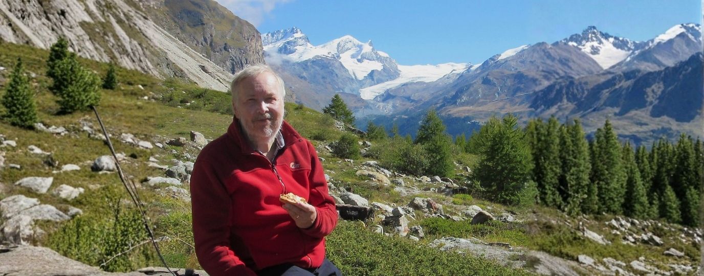
Greater Manchester is home to some of the UK’s most unexpectedly varied walking landscapes and no one knows them better than Dr Andrew Read. As the creator of the GM Ringway and a long‑standing advocate for easy-to-reach, car‑free walking, Andrew brings an unrivalled depth of local knowledge, passion and expertise to his new Greater Manchester Walking Guidebook, published by Ordnance Survey.
The new Greater Manchester Pathfinder Walking Guidebook brings together 28 hand‑picked routes curated by local walking expert Dr Andrew Read, showcasing everything from moorland edges and peaceful wetlands to canal towpaths, river valleys and historic parkland.
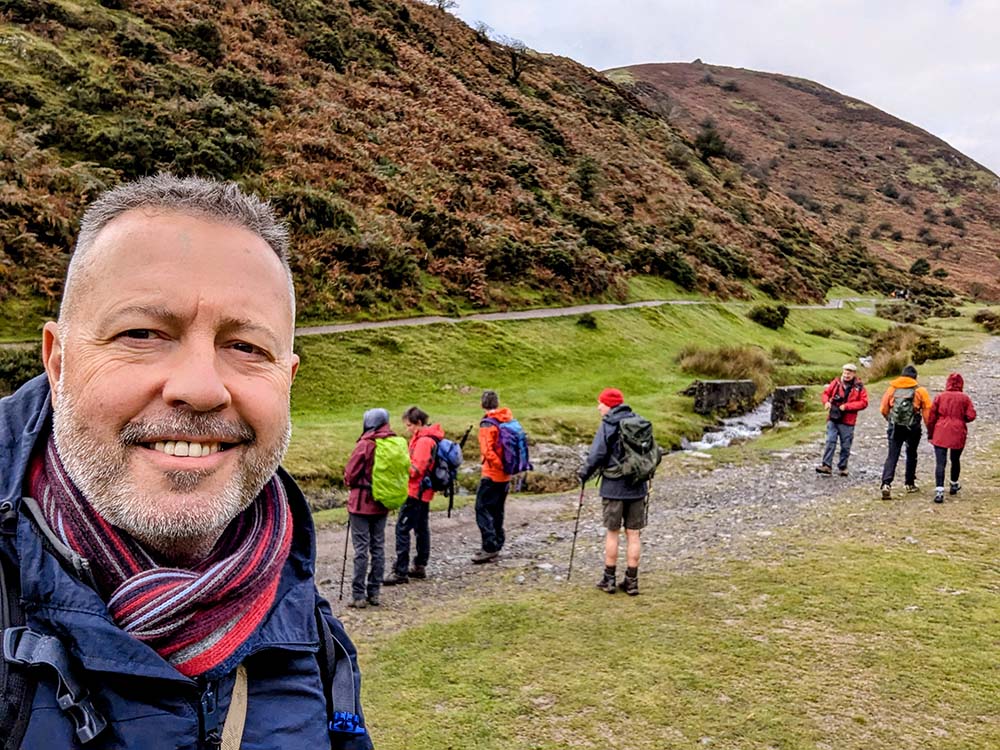
Designed for walkers of all abilities, the guide is split into shorter routes, half‑day outings and full-day adventures, all ranging from 3 to 11 miles and fully reachable by public transport.
I caught up with Andrew to ask him about what makes Greater Manchester such a special region to explore, the surprises he uncovered while researching the guide, and why OS Maps and public transport play such an essential role in opening these landscapes up to everyone.
You’ve lived and worked extensively in Greater Manchester. What do you think makes the region such a special place?
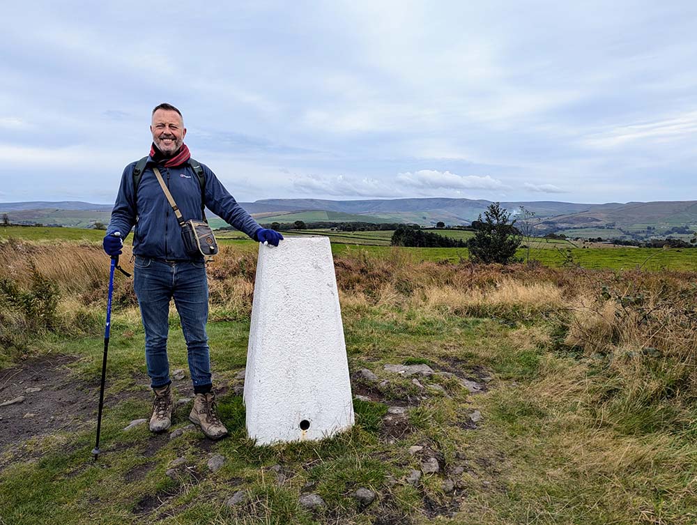
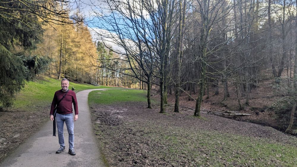
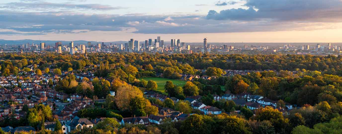
In Greater Manchester, we’re lucky in having incredibly varied countryside and green spaces right on the doorstep – and lots of it within the boundaries of the city-region. The variety is remarkable, ranging from the Pennine and Peak District fringe in the north and east, to the mosslands and wetlands in the west, and historic parkland estates in the south.
Which landscapes or locations surprised you most during your research for the book and your wider projects
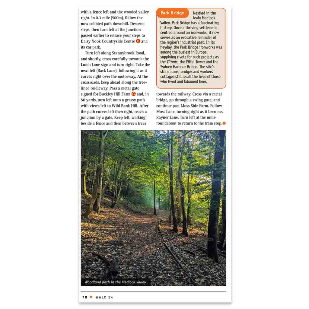
When I first came up with the idea for the GM Ringway – Greater Manchester’s walking trail – I was most surprised by the lovely, flatter countryside in the west of the region. For example, the first time I visited the Wigan Flashes (a set of lakes formed by mining subsidence), I was astonished by the peacefulness of the area, all the greenery and the incredible birdlife. Since then, the whole area has been designated a National Nature Reserve: ‘The Flashes of Wigan and Leigh’ (explored on walks 6 and 23).
When it came to the guidebook research, I really enjoyed discovering new locations that are not on the trail, such as Tandle Hill on the Oldham and Rochdale border with its 360-degree views and gorgeous woodland. (walk 14)
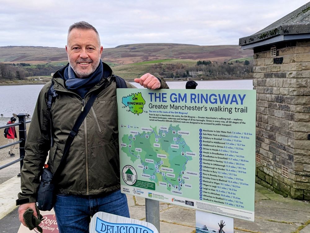
Can you tell us a little more about the GM Ringway Walking Trail and how you came to spearhead the project?
Yes. Originally, 15 or so years ago, it was just a hobby project: something I worked on at the weekend, testing potential trail routes with friends and family. Having completed lots of long-distance trails across the UK, I thought that Greater Manchester could have its own trail. A key aspect was that all of the countryside and green spaces can be reached by train, tram or bus thanks to the various lines that radiate out from the city centre. And this aspect remained constant, so that each of the 20 stages of the 200-mile trail starts and ends at a public transport point.
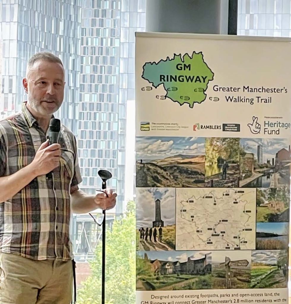
It’s been great to see the trail finally become established, thanks to the National Lottery Heritage Fund and the two charities that got involved (CPRE and the Ramblers). We now have 1000s of people walking the GM Ringway and discovering the natural and heritage sites on our doorstep.
Greater Manchester isn’t always perceived as a walking destination. Do you feel this new guidebook challenges that perception?
It’s true that Greater Manchester is seen as a mainly urban area. But partly thanks to the GM Ringway trail that impression is changing. For example, a recent article about the GM Ringway in The Telegraph was headlined ‘How Manchester became Britain’s newest hiking hotspot’. I think the new guidebook will consolidate this by showing both locals and visitors how many scenic walks and heritage sites there are within the city-region itself, all reached by public transport.
You’re known for developing accessible routes that start and end at public transport hubs. Why is car-free walking such an important principle for you?
There are three reasons for this. Firstly, even when I was a regular driver, I always enjoyed taking the train, bus or tram to get to a walk. It makes the trip into a more relaxing outing when you don’t need to worry about parking or traffic jams. Secondly, living close to Manchester city centre, I’ve now given up my car and, like a really high proportion of urban residents, have no access to a vehicle. It’s therefore vital that we offer walks and leisure opportunities that are available to everyone. Thirdly, using public transport takes the pressure off the environment – not just in terms of emissions but also in practical ways by not clogging up roads and car parks at nature and heritage sites.
What do you look for in a walking route to make it meaningful and memorable?
This is a tricky question: it’s almost a gut feeling, even at the planning stage, of what will make for an enjoyable route. But if I look for common factors across all my walks, I’d say that variety within the route is the key thing. If there’s a canal, then let’s include a heritage site as well. If a route includes woodland, then let’s make sure there’s also a viewpoint. And, of course, a nice café or pub stop can really add interest to a route. A final thing is to avoid roads, especially busy ones, as much as possible so that, even close to the city, you feel you’re getting away from it all.
The book contains 28 routes across all ten boroughs. How did you go about selecting the final list? Were there any difficult omissions?
From researching the GM Ringway trail route and leading lots of local walks for Ramblers over the years, I knew most of Greater Manchester’s green spaces really well. Choosing the final list was tricky. Again, though, variety was the key factor. I therefore made sure we included routes covering all ten boroughs of the region and a real mixture of flatter and hilly walks, woodland, wetlands, canal and riverside walking, and different heritage attractions. There are definitely some lovely locations I had to miss out, such as Blackstone Edge and the Ashworth Valley, both in Rochdale.
You mentioned that you visited some places you had never been before, despite being deeply familiar with the region. Can you share one of those unexpected discoveries?
One of the most surprising discoveries was when I refined the final walk: “Harrop Edge and Wild Bank Hill”. My original approach to Wild Bank turned out to involve too much road-walking and a tricky crossing of a golf course. Almost by chance, I extended the route to include what looks like a small rise, Harrop Edge, on the map. This was a real stroke of luck, as the Peak District views on both the approach and the ridge itself were breathtaking. Plus there’s a delightful open-air café and bar – Bee’s Coffee Pot – on the slopes of the hill!
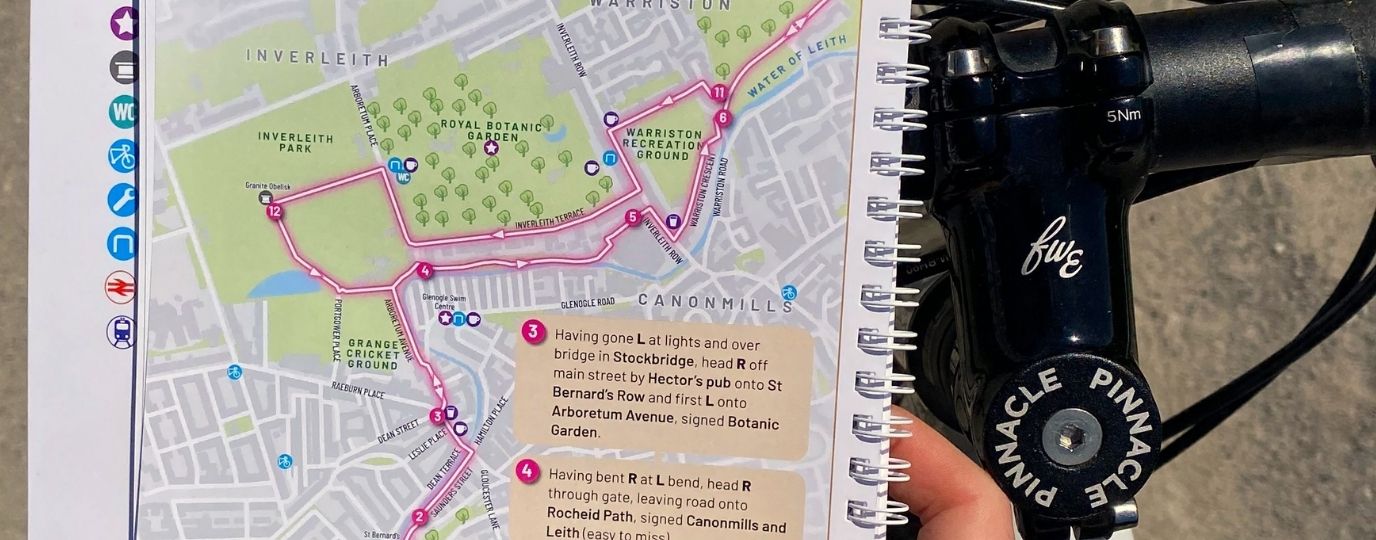
Each walk includes OS Explorer mapping, turn-by-turn instructions and detailed difficulty gradings. What were the biggest challenges of preparing such extensive route documentation?
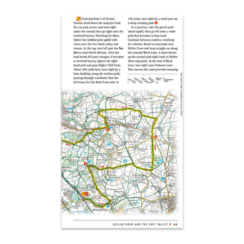
By far the biggest challenge lay in keeping the word count for the route instructions down. Because so many of the routes go through locally popular locations, such as country parks or nature reserves, there was often a multitude of paths that aren’t shown on the map. This meant that really detailed route descriptions were needed in places. But we got there in the end!
Do you have a favourite walk from the collection, or perhaps one that represents the spirit of Greater Manchester especially well?
I’m really pleased with all the routes selected, as I think they all have different things to offer and collectively invoke the spirit, or flavour, of Greater Manchester’s varied green spaces and heritage. It’s therefore very hard to pick a favourite, but one I love is Walk 17, Haigh Windmill and Borsdane Wood. First of all, the small ponds passed near the windmill are the absolutely perfect spot for a picnic break. And second, the final descent through Borsdane Wood is incredible. I walked it on an early summer evening and it was like being in a tropical rainforest. Using the ‘Merlin’ app to identify the birdsong, I recorded about 20 different species of birds.
You’ve aligned the guidebook strongly with sustainable tourism goals. What impact do you hope it will have for residents and visitors?
Yes, I know the team at Marketing Manchester – the tourism body for the whole city-region – very well. Two key themes for their strategy are sustainable tourism and getting visitors to explore the ‘outer boroughs’ rather than remaining in the city centre. By showcasing walks across the whole area that can be reached by public transport, the guidebook will support both those goals. For residents, I hope that the book will show people they don’t have to travel far, and can use the train, tram and bus, to reach some really lovely locations.
If you’re interested in purchasing a copy of our new Greater Manchester Walking Guidebook head to the official Ordnance Survey Shop.
Manchester City Walks
Manchester offers countless opportunities for a walk in fresh air and nature without going far from the city.
Historical Manchester – Walking the Past
Explore historical Manchester on foot and discover rich layers of industrial and cultural heritage throughout the city and beyond.
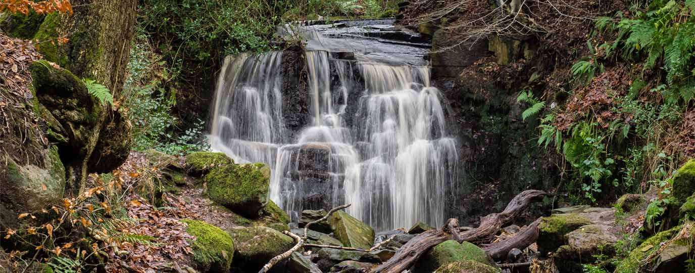
Where are the Best Waterfalls near Manchester?
Find the best waterfalls close to Manchester with scenic walks in beautiful surroundings.
By Hilary Pullen
Meet Hilary, Editor of Get Outside – the Ordnance Survey Blog. Hilary is based in North Wales and loves hiking with her dogs in the mountains of Eryri and Bryniau Clwyd, you can find her on Instagram @nearlyuphill and read her guides to walking in North Wales on her blog. Drop her an email hilary.pullen@os.uk if you are interested in posting an article on Get Outside.