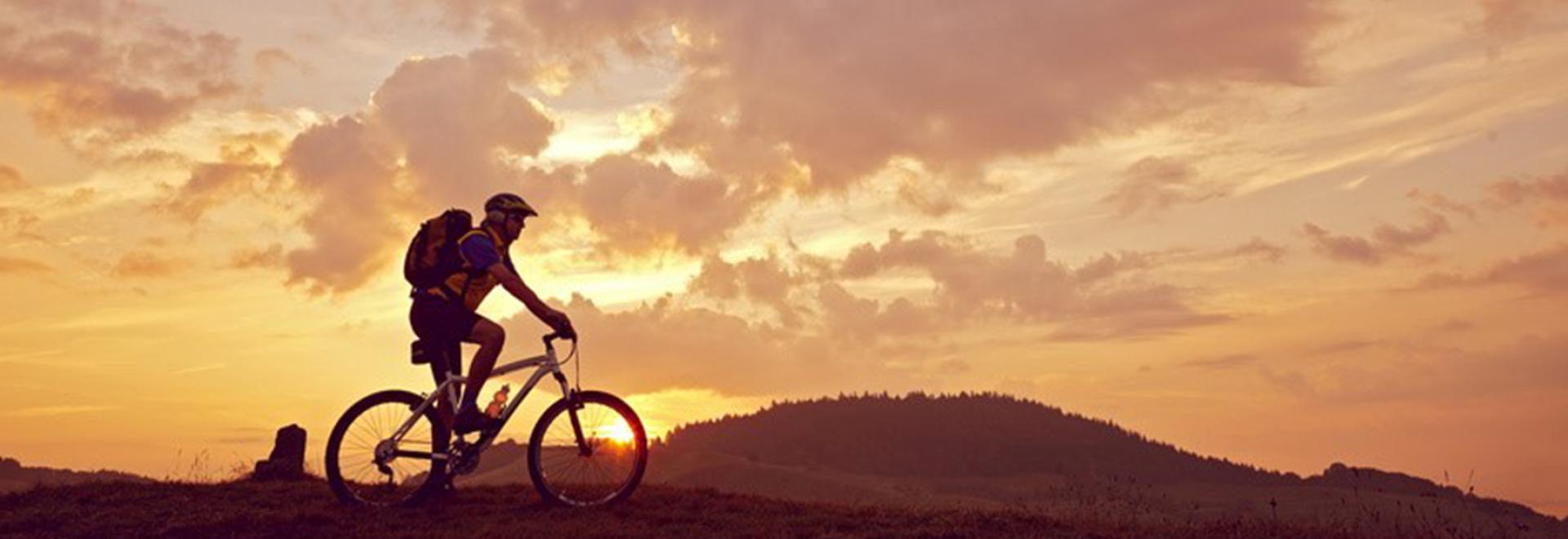
With miles of moorland, Dartmoor National Park is perfect to explore on a bike. Discover a selection of the best routes and find one that suits you.
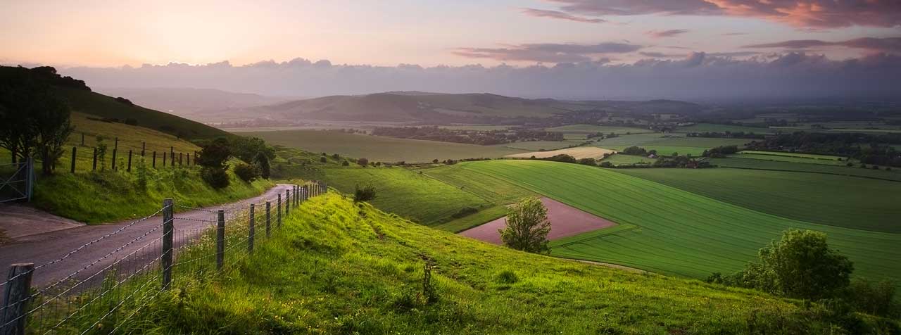
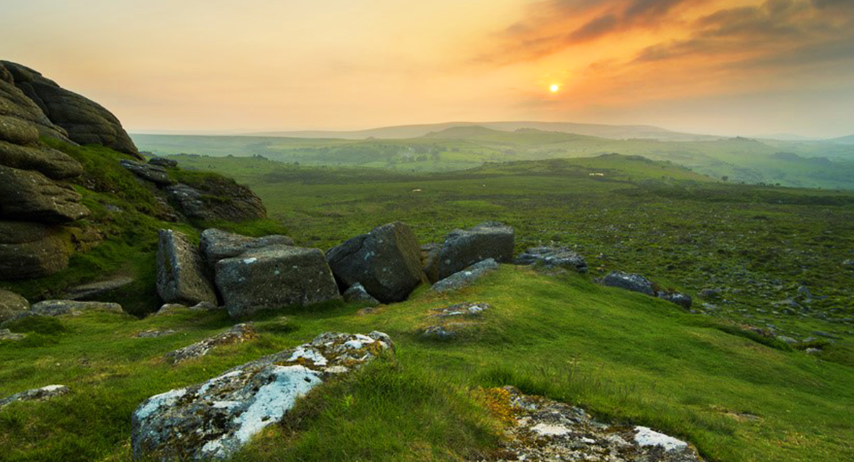
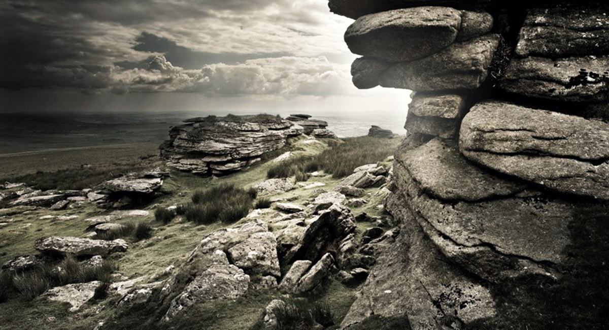
The Dartmoor National Park, hundreds of miles of moorland stretching across south Devon, is arguably one of the most stunning areas in the British Isles. Characterised by its Ten Tors, murky mists and mysterious standing stones, Dartmoor remains popular with all lovers of the outdoors.
Rugged and with elevations fluctuating between 79ft and well over 2,000ft, Dartmoor has for many years attracted mountain bikers looking for a challenge or seeking a ride with endless, beautiful views. They are well catered for too, as there are dozens of routes to suit cyclists of all abilities. Here is a selection of the best:
North Bovey loop
At 25 miles and with a peak elevation of 1,583ft at mile 15 (and there’s not much let-up to follow), this route has justifiably been called ‘killer’ by Mountain Bike Rider, who advises you’re well-rested before attempting it.
From North Bovey, the trail heads south and off-road towards Hunter’s Tor. A wonderful panorama can be seen from the top. After a couple of steep descents and another climb, the route reaches the moors, winding around Haytor Down and Hound Tor. The site suggests looping around Headland Warren in an anti-clockwise direction for a descent – rather than a climb – to Headland Farm. It continues through Langdon and finally arrives back in North Bovey.
Princetown loop
This route was suggested by @DevonLitter on Twitter, it starts and ends in Princetown, which is the highest village on Dartmoor – so you can be sure of some upwards slogs towards the end.
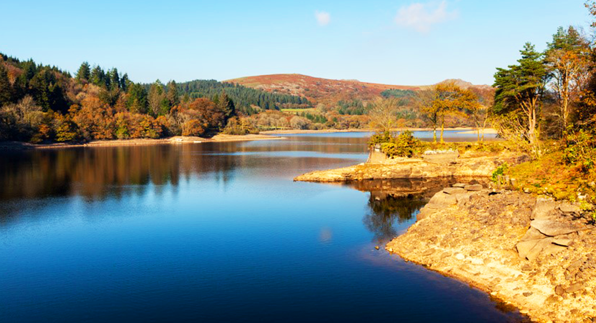
Park at the Plume of Feathers Inn (where you can stay overnight or just grab a well-earned meal afterwards). The route follows the old disused railway towards Yelverton, circling King’s Tor, passing Leeden Tor and running along the bottom of Burrator Reservoir. It then continues, gradually climbing, up towards Dartmeet and the West Dart River (though @DevonLitter recommends missing this part if it’s been raining at all).
The route is suitable for all of the family, covering 22.4 miles and – with stops – shouldn’t take much longer than two and a half hours.
For a shorter route around Princetown, check out the route on OS Maps.
The Dartmoor Way
Encircling Dartmoor is the eponymous Way, a 95-mile loop which can be done in small chunks or form an epic week-long cycling holiday. Though it can be cycled in either direction, the official Dartmoor Way website recommends travelling anti-clockwise, for both safety and ‘scenic’ reasons.
It can be joined at any point (it’s clearly waymarked), but is broken into four almost equal sections: Okehampton to Tavistock (21 miles), Tavistock to Ivybridge (22 miles), Ivybridge to Bovey Tracey (24 miles) and Bovey Tracey back to Okehampton (26 miles). Expect open moorland, tiny country lanes, gorges and rivers, steep gradients, fabulous tea shops, rough off-road sections, crags, legends, moss-covered banks and views to make your heart stop.
If there isn’t time to cycle the entire way or you want to head into the park, the 27-mile High Moorland Link could provide some more options. It starts at Tavistock, passing through Sharpitor, Two Bridges and Scorriton before ending at Buckfastleigh. This could be used as an alternative route, a ‘short-cut’ or to enable a figure-of-eight loop.
The Granite Way
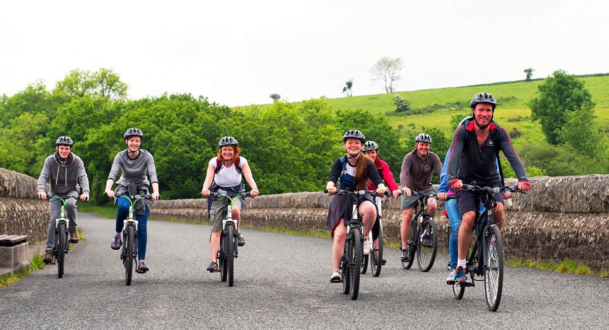
Photo credit: Devon Cycle Hire
Skirting part of the National Park’s perimeter is a new cycle route which is ideal for families and those looking for a gentle ride with a view: The Granite Way. A largely-off road and traffic-free path, the signposted Granite Way follows the dismantled cycle track between Okehampton and Lydford. Measuring about 11 miles in each direction, it’s linear and described by VisitDartmoor as ‘easy to moderate’. It traverses both the West Country Way and the Devon Coast to Coast path.
Parking at Okehampton Station, the route incorporates the breathtaking Meldon Viaduct (don’t look down) and the Lake Viaduct at Bearslake. To avoid crossing the A386 to Fernworthy Down, it deviates up to Bridestowe, before the path turns back down towards Lydford. It’s a much-loved route, with plenty of places to stop for refreshments, though it can get busy at weekends.
For those looking for a longer trail, why not attempt more of the Devon Coast to Coast? Part of the National Cycle Network, it spans 102 miles between Illfracombe and Plymouth. Otherwise, cycle back to Okehampton or catch the bus from Lydford.
Of course, there are many, many more routes to explore than just those that we’ve mentioned. Just bear in mind that you can cycle on bike and bridle paths, and designated trails, but not on footpaths. VisitDartmoor has loads more information on cycling, visiting and staying on Dartmoor. Alternatively, make up your own route with OS Maps.
Do you have any others to add? Share your top routes below.