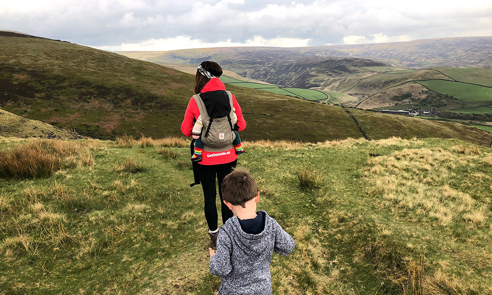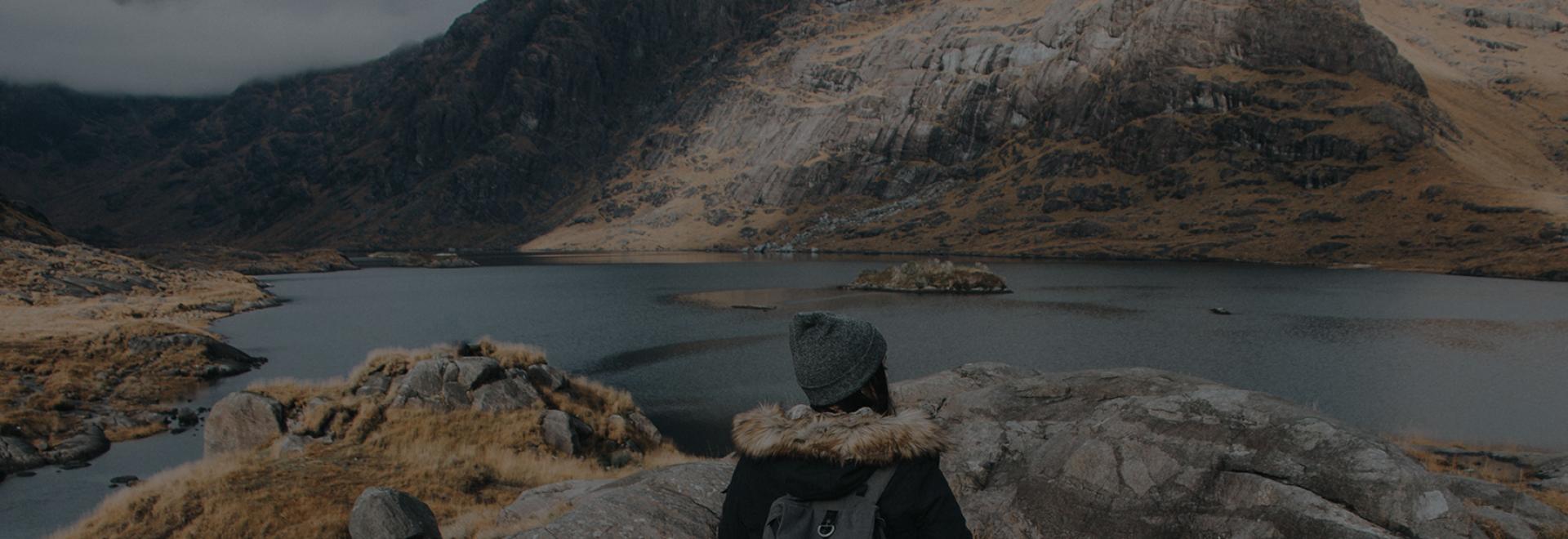
Although being so accessible, Scotland still provides a feeling of remoteness and wilderness within a matter of an hours walk. Co-author of the new Wild Guide Scotland, Richard Gaston, shares his top 5 Scottish short hikes to help you discover the charm of Scotland
Although being so accessible, Scotland still provides a feeling of remoteness and wilderness within a matter of an hours walk. Witness the charm of the Scottish Highlands amongst the rolling glens, discover hidden gems in the dramatic valleys, or hike up one of the lower mountain peaks that lack altitude but make up for in grand views – experience Scotland in a nutshell on a short day out in the Highlands.
Stac Pollaidh
A short circular walk with spectacular unspoilt views over the moors of Assynt, especially at dawn as the sun rises behind the distinctive shape of Suilven. There is the option of climbing to the summit ridge, and even to take a tricky scramble along the fine ridge to the true summit.
On the A835 N of Ullapool, head W at Drumrunie signed for Achiltibuie. Continue on this road 5 miles to car park (past IV26 2XY). Cross the road and go through the gates to begin the almost immediate ascent. Ignore the path L, continuing uphill to eventually curve around the base of Stac Pollaidh. A junction is your opportunity to either ascend to the summit ridge L, descending to re-join the circuit further round, or simply continue the circuit back to the start.
OPEN IN OS MAPS >
Loch an t-Siob
A fine walk into the depths of wild Jura to Loch an t-Siob, a grand loch with perfect views of the islands most famous and striking physical features, the Paps of Jura. A wild route with not much in terms of a path takes you through the moors towards the loch. Jura is often referred to as one of the last great wildernesses of Scotland and this route, albeit brief, provides a true taste of this reference.
On the A846 on the E side of Jura, park next to the turning for Knockrome (PA60 7XZ). Walk over the bridge, immediately turning R down a path towards the river. Follow the path NW about 2 miles to the loch.
OPEN IN OS MAPS >
Uath Lochans
Four small, sparkling lochans amid magical wild woodland scenery. You can either follow the easy boardwalk path around the water, great for wildlife spotting with children, or climb upwards to Farleitter Crag, which has fantastic views down over the lochans and then climbs to a viewpoint overlooking the densely-packed forests of the Cairngorms.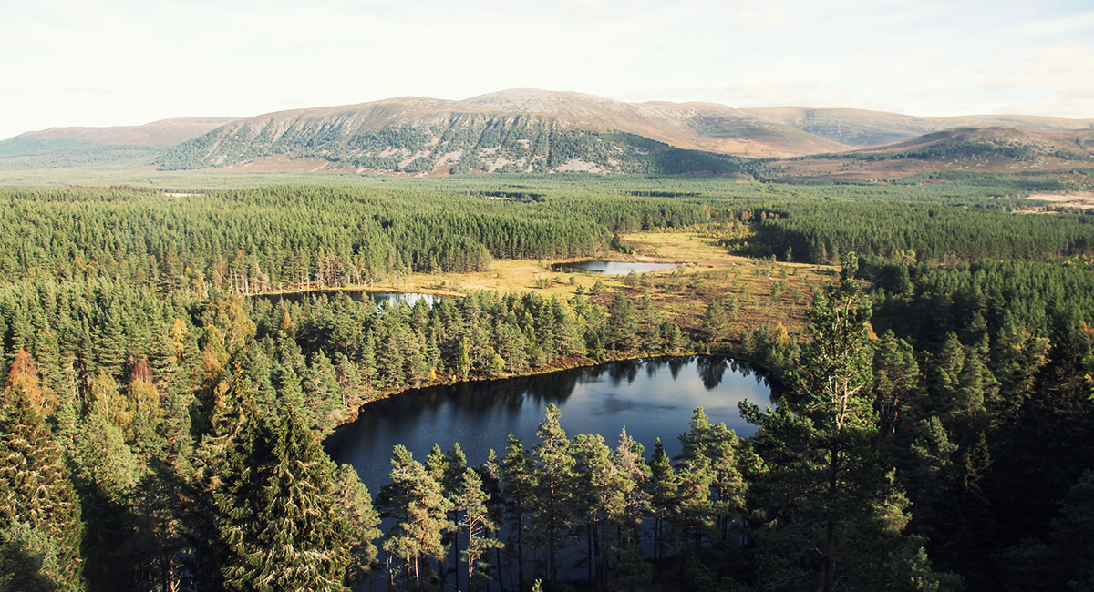
Take the Glenfeshie turning from the B970 (PH21 1NX) 7 miles S of Inverdruie. Take a R to park at Uath Lochans car park after 400m. Follow the boardwalk path or red marker posts to turn L onto trail that curves around the lochans and continues up to Farleitter Crag.
OPEN IN OS MAPS >
Bones Caves
Named after a staggering number of animal bones that were discovered here over a century ago; northern lynx, Arctic fox, brown bear and even polar bear have been excavated. There are three main cave entrances in the limestone valley under the northern crags of Beinn an Fhuarain, named Badger, Reindeer, and Bones from west to east. The 4km walk-in leads through a beautiful limestone valley and soon ascends up into the caves and is an ideal day out for a family.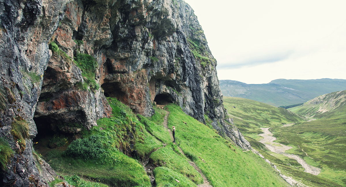
On the A837 near Inchnadamph (IV27 4HN), park at the signed car park. Follow path E through the gate upstream past the waterfall. As the valley narrows the caves become visible on the cliff. Cross the river bed (usually dry) and follow path up to caves – steep in places.
OPEN IN OS MAPS >
Pap of Glencoe
This steep and prominent peak offers an incredible viewpoint that is well worth the ascent. Though short in stature compared with the surrounding hills, its position is the perfect place to look out on Ballachulish and Loch Leven. Being sheer at times makes this lovely walk often rough going, however the efforts are certainly rewarded.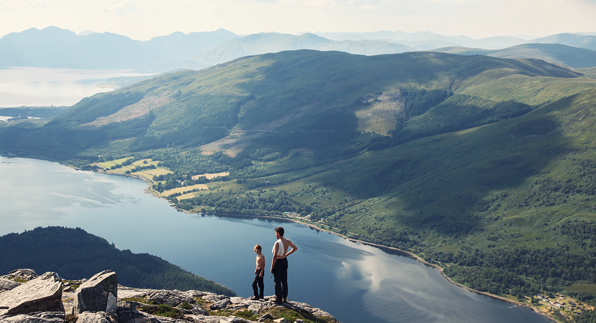
Leave the A82 at Glencoe village, pass through the village and park at the car park on your left 400 metres after crossing river, next to an electricity substation. (PH49 4HX). Take the path that leads left out of the car park parallel to the road. The path eventually joins the road for a bit. Turn left at the second of 2 gates (second is signed for the Pap), and begin the ascent uphill.
Further up, a bridge is reached, take a right and cross this. From here the path varies in quality, but follow it steeply uphill towards the ever more visible Pap, which rears up in front of you. Boulders and rocks are encountered on the final summit cone, but the going is straightforward.
OPEN IN OS MAPS >
About the book
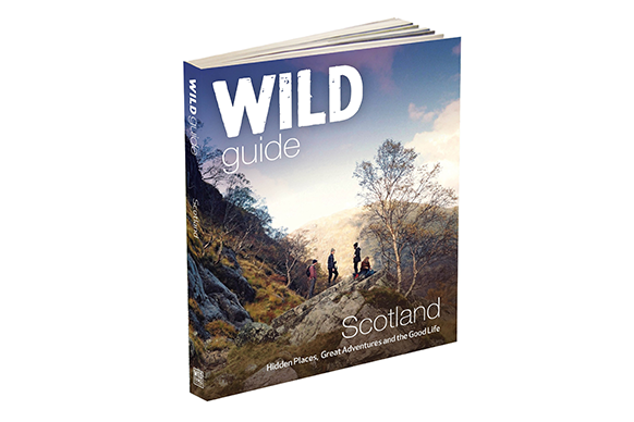
Wild Guide Scotland: Hidden Places, Great Adventures & the Good Life Paperback( by Kimberley Grant, Richard Gaston, David Cooper (Wild Things Publishing) charts 750 of Scotland finest wild places and is available to buy now.
Readers can receive a 20% discount on the RRP (£16.99) and free P&P with code ‘osscotland’ at Wild Things Publishing.