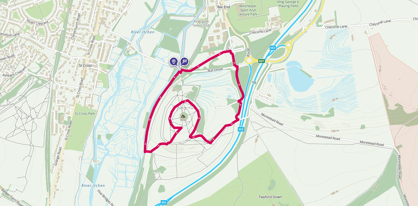
Topped with the remains of an iron-age fort, this short walk just outside Winchester gives great views across the area.
SU 483 280
This is a great short walk with views out across the Itchen and Winchester. St Catherine’s hill is managed by Hampshire & Isle of Wight Wildlife Trust, as it supports a number of rare flower and butterfly species – although as we went in November neither was visible; instead we got a very inquisitive cow!
The route is short but steep. The outwards part is on a well-made path with steps, while the return is on a muddier path that’s steep in places and could be tricky in wet weather.
Start off from the free car park at SU 483 280, although the Park and Ride is another option. Take the path following the river for a short distance and then turn left through the gate and take the steps up the hill.
SU 480 273
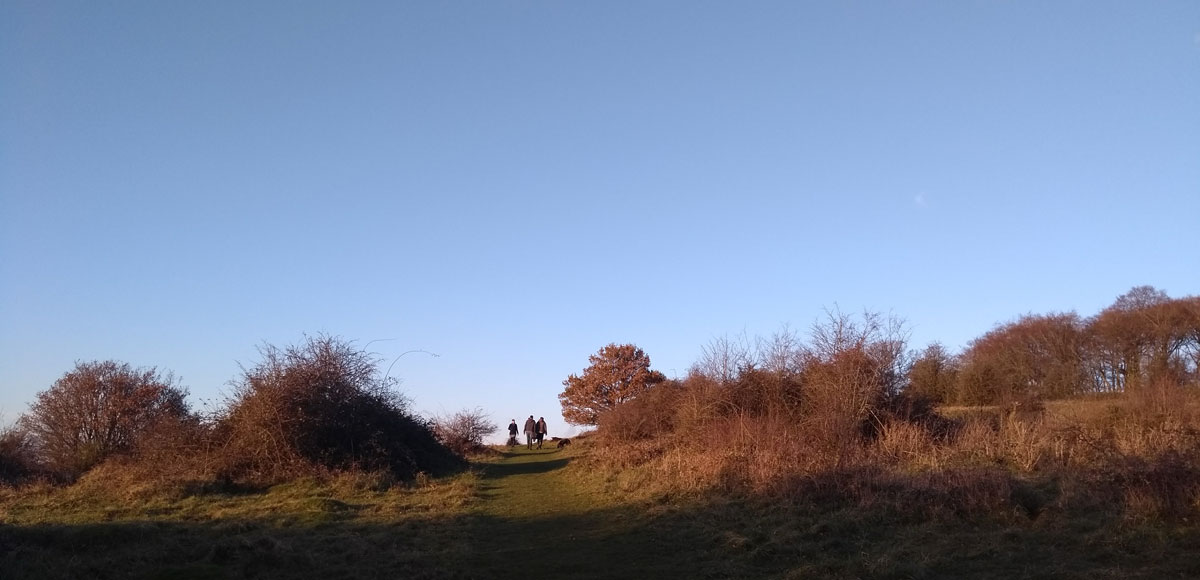
Head up the steps towards the top of the hill. A quick detour into the centre of the hill into a small copse of beech trees will reveal the the site of the 12th-century chapel of St Catherine, after whom the hill is also named, but the best views are to be had by following a route around the edges of the small plateau.
Around the back of the hill from where you ascended, have a close look at the ground and you will find a Mizmaze, or turf maze, estimated to date back to the 17th century. You can follow the line to complete a long path compressed into a relatively small area.


SU 484 274
Continue to follow the path around the hill, and keep a look out for the remains of the iron-age fort – you should be able to see where the ramparts of this Scheduled Ancient Monument were. As you round the hill, nearly back to the start of your circuit, you will find a small path leading down a steep slope.
Follow this down until it joins a short section of the Pilgrim’s Trail, which originally was part of a much longer route taking worshippers from Winchester Catherdral as far as Mont Saint Michel in Normandy, France. Feel free to stop for a quick view from the footbridge over the M3 motorway, but don’t cross over – instead follow the path next to the fence, then cut on to a gravel road through woodlands until you reach Bull Drove road.
Don’t try to walk down here, as it’s narrow with no pavements. Instead, cross the road here into the Park & Ride Car park, and carry on through the car part to pick up a cycle path, then follow this back to the car park at the foot of St Catherine’s Hill.
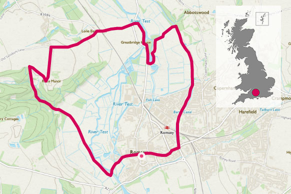
3.6km SU 483 280
3.6 km / 2 miles