Which Apps are best for Wild Swimming?
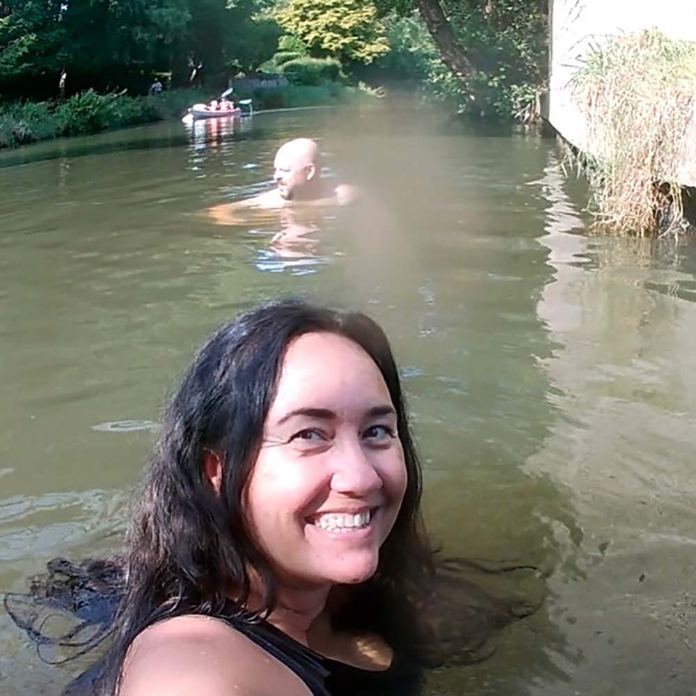
Wild swimming is a wonderful pastime but how can you research where to go and make sure you stay safe whilst dipping? Taking a mobile phone with you for emergencies is always a good idea, but there are also lots of apps you can download to help you find some swim spots. Natasha Sones, wild swimming author and OS Maps Champion has picked out the most useful apps for wild swimming.
The Best UK Wild Swimming Apps
OS Maps App
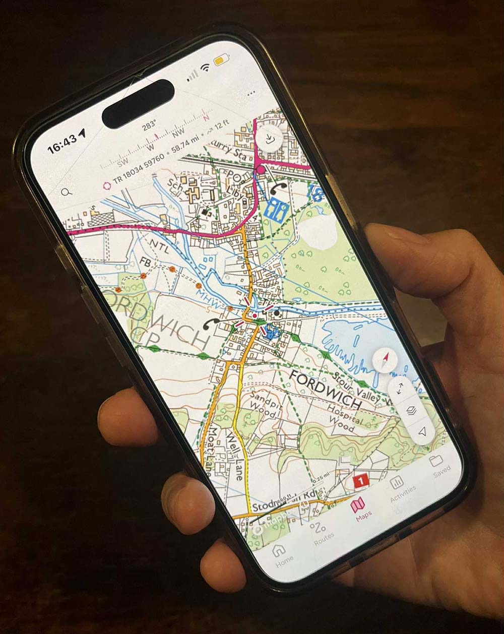
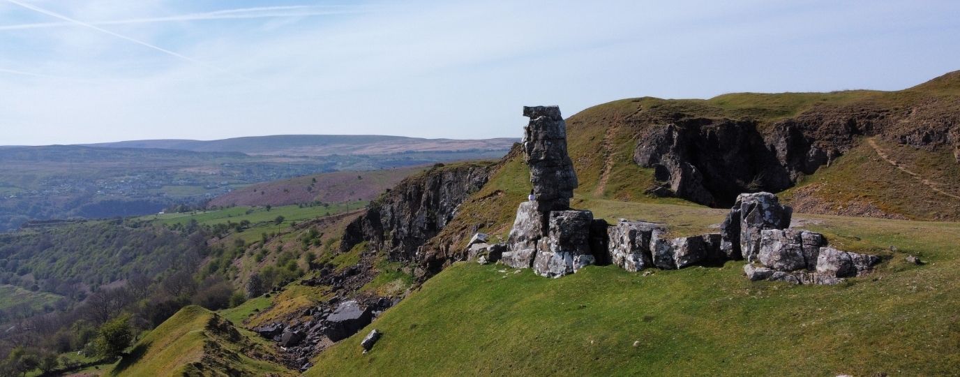
Wild swim places can be quite out of the way, so take a look at an OS map, and take a map and compass if you are going somewhere remote. If you don’t have a paper map, the app is invaluable and I use it all the time. It includes Locate Me! – this is a fast and highly accurate means of pinpointing your exact location on an OS map. It has an inbuilt GPS system, so you don’t need a mobile signal. When looking for a remote spot, the app can be very useful for looking up footpaths and any facilities nearby. It’s also helpful if you just have a grid reference for a place and need to look it up.
With OS Maps Premium you can have all the mapping you’ll ever need. You get unlimited use of every OS Explorer and OS Landranger map for the whole of Great Britain. Which is instant access to 607 maps to view, print, or download to your phone. You can also create and plot your own routes so you can explore the way you want to.
What3Words app
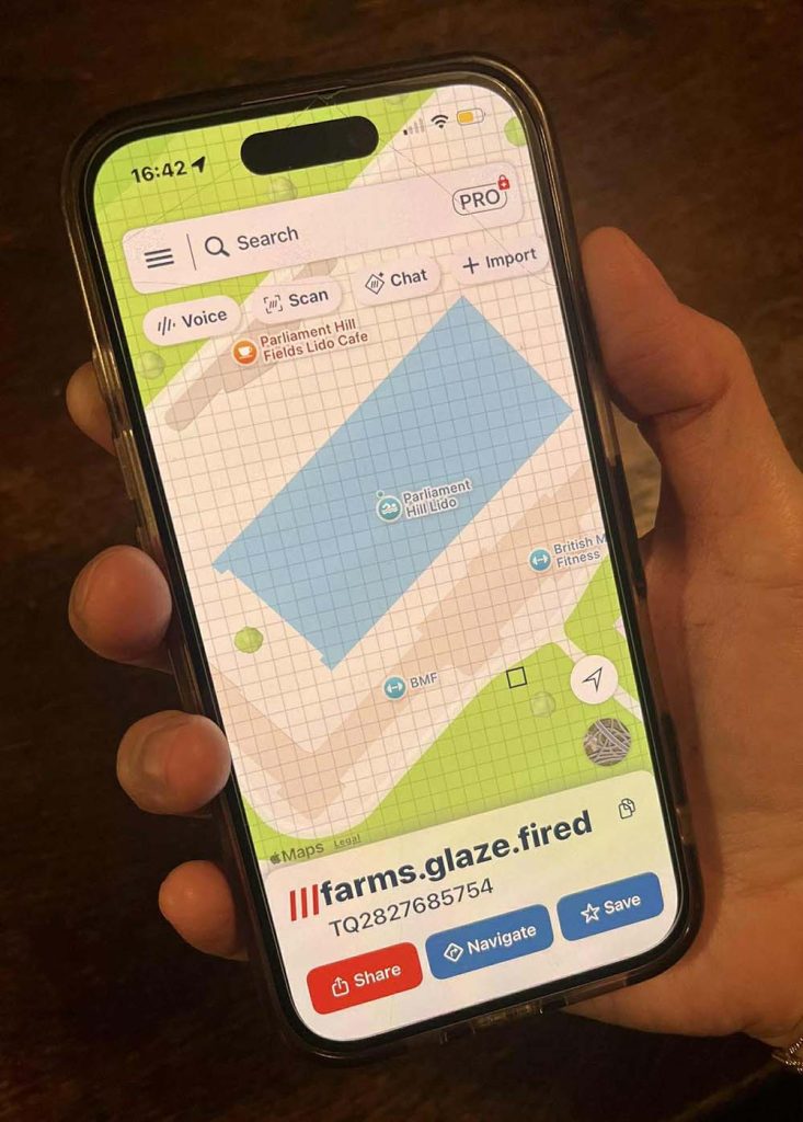
The app what3words is an easy way to describe a precise location. Every 3-metre (10ft) square in the world has been given a unique address made of 3 random words. In a similar way to map co-ordinates, what3words addresses are precise, rather than an area.
You can use the what3words app or website to find the 3-word address for a specific lake entry, beach, or river point. All you have to do is enter these words into the app or other navigation tools to get precise directions to that 3-metre square. It’s also great in an emergency: If you or someone else gets into trouble, you can give your exact what3words address to emergency services for fast location.
NOWCA Wild app
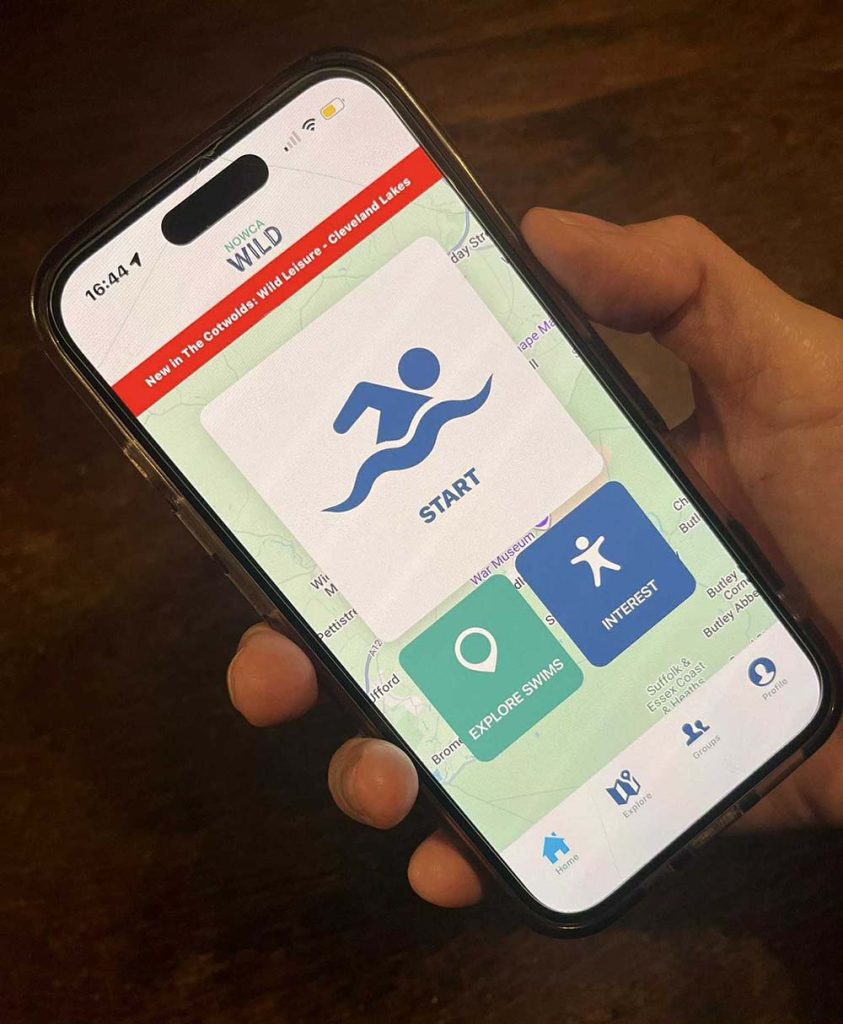
To discover the best places to dip, you can find them via the NOWCA Wild app. NOWCA is the UK’s largest network of safe open water swimming venues, with over 40 locations nationwide. The Wild app is a comprehensive list of open water swimming locations in the UK. So you can get in-depth information and directions to find your next wild swim.
I found the NOWCA Wild app especially helpful for discovering new wild swimming spots, especially when I was travelling. If you are away somewhere and fancy a dip nearby, the app is really helpful.
It also allows you to connect with groups. Find wild communities, join a swim group or create your own. The app uses geolocation which means you’ll find all the local swimming groups nearest to you. You can also record your swims using the built-in GPS functionality or manual swim plotter. As an added benefit, NOWCA Wild is the first app of its kind to offer insurance cover for wild swimmers. When you start your swim on NOWCA Wild Premium, you’ll be covered for personal accident and injury for the duration of your swim.
Surfers Against Sewage’s Safer Seas and Rivers Service app
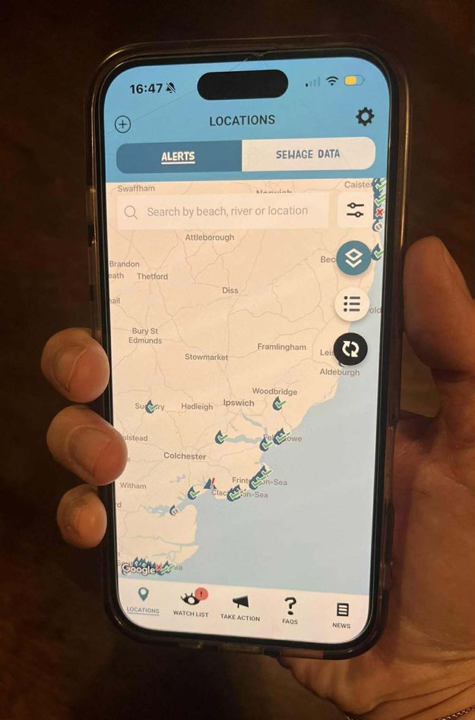
Stay informed about the cleanliness of local waters by utilising resources such as sewagemap.co.uk, and Surfers Against Sewage’s Safer Seas and Rivers Service app. This free app makes it easy to check in, search out a swim spot and be served the latest pollution alert for over 450 locations in the UK. The app also includes beach information such as tide times and lifeguard services.
These sewage warnings are in real time so that swimmers can make the most informed decision about how, when and where they enter the water.
Windy app
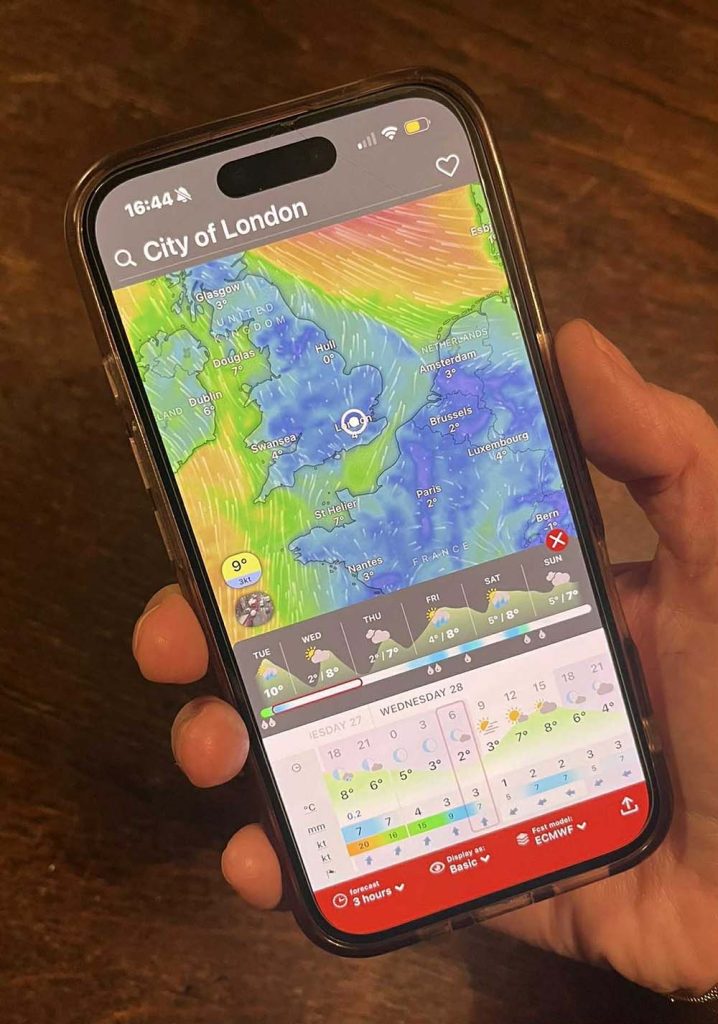
You need to have an idea of tides, currents and weather when swimming, to ensure your safety. Adverse weather can turn even the safest of bathing places into a danger zone. Tide timetables online or on apps, such as TidePoint, Tide Times UK or Tides Near Me, provide tide information.
Research the area you will swim in; check the waves, swell and observe the water. Investigate the weather and wind forecast before you go in, websites include www.metoffice.gov.uk and www.windfinder.com. I use the Windy app, which has a worldwide animated weather map which is easy to use. It shows weather radar, wind and waves forecast for kiters, surfers, paragliders, pilots, sailors and anyone else.
RiverApp
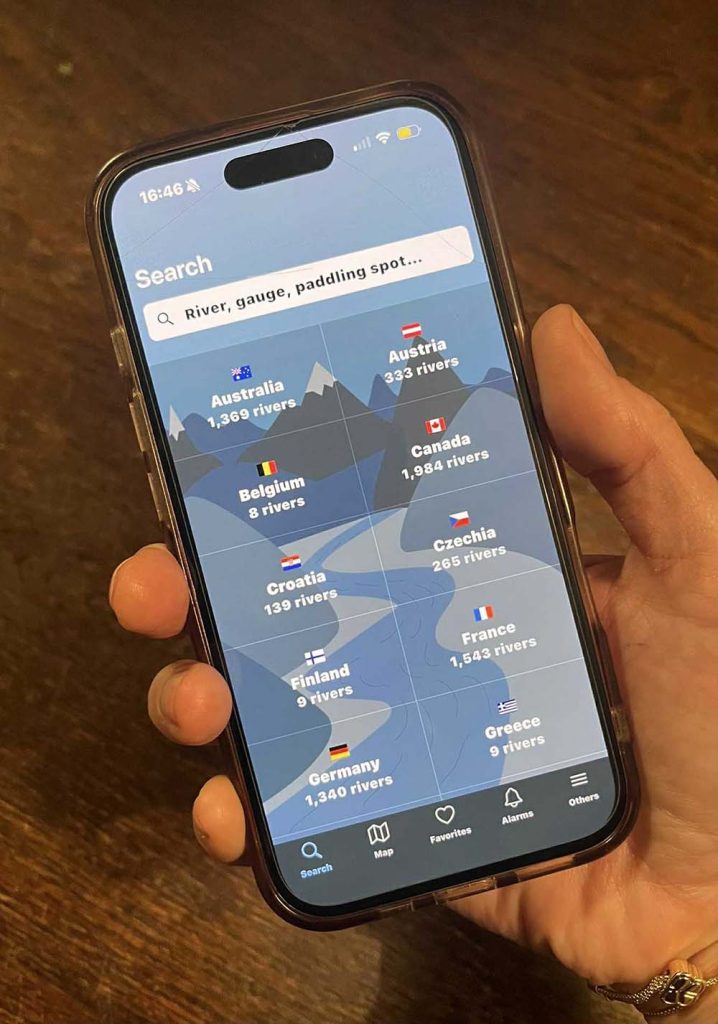
If you dip in rivers, RiverApp makes checking river levels, flows and temperatures quick and intuitive. You can have instant access to current flows, levels, and water temperatures, as well as historical data for over 20,000 rivers.
Get data for rivers in over 20 countries across Europe, North America, Australia and New Zealand in real time.
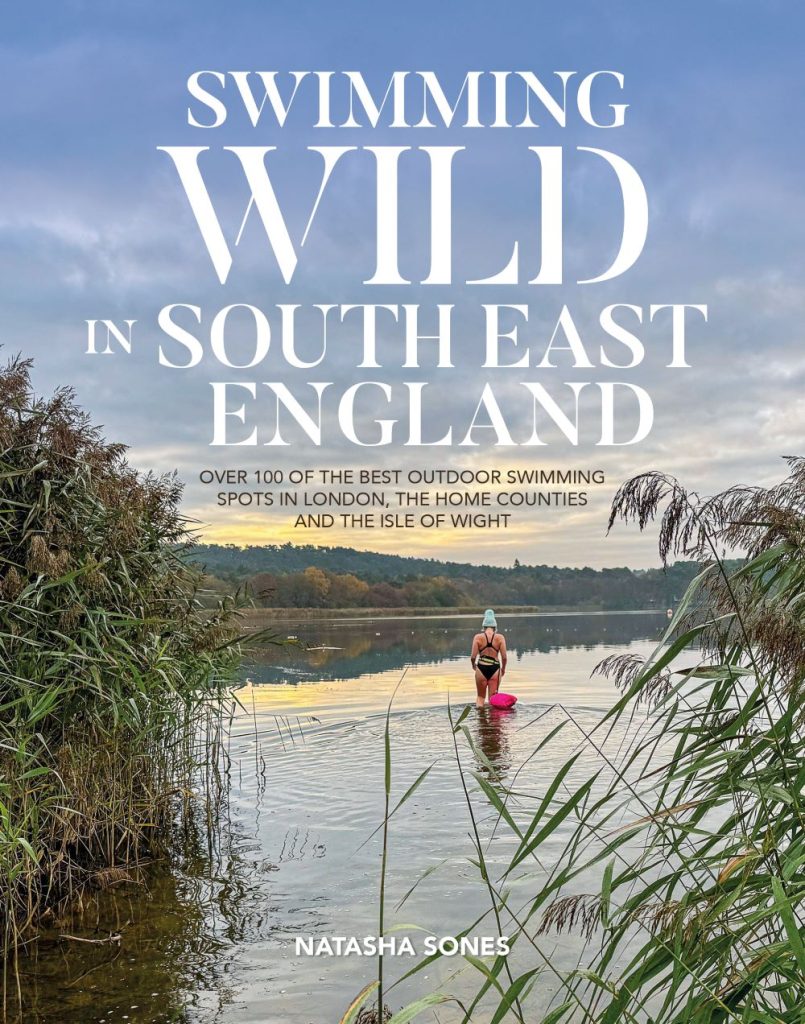
Ordnance Survey Champion Natasha’s exciting new guidebook, Swimming Wild in South East England, is available to buy from March 2026 (Vertebrate Publishing). Follow her on Instagram to see her swimming adventures; @natashastarseeker
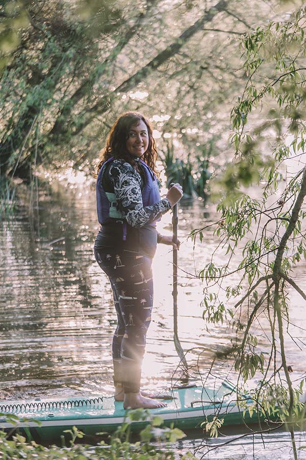
By Natasha Sones
Natasha Sones is a Stand-Up Paddleboarding Instructor, wild swimming enthusiast and Ordnance Survey Champion. She is also a travel writer and currently writing a book about wild swimming in England.
Read Natasha’s Travel Blog | Natasha Sones Family Adventures Blog