OS Champion Emily Thompson recently took our More Peak District Walking Guidebook from the famous Ordnance Survey Pathfinder series on the first walk in the book.

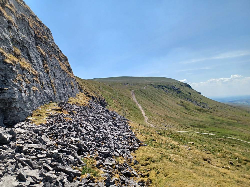
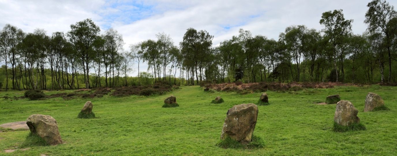
Stanton Moor, located in the Derbyshire Peak District between Matlock and Bakewell, is renowned for its megaliths, including the Nine Ladies stone circle, and its wind-eroded sandstone pillars.
Stanton Moor Circular Walk
Not really knowing this area at all it was great to have a guidebook to provide interesting information about the Moor, the Stone circle and other features we walked past. Its always essential for me to have an OS map with me, and a guidebook which incorporates one is fantastic – I don’t usually use a guidebook but found the extra information about the area really interesting.
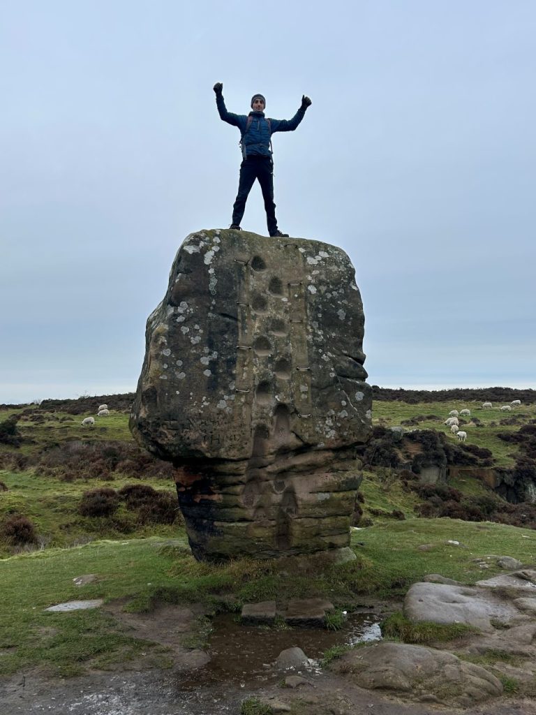
Stanton Moor is fascinating, with a range of different rock features, standing stones, a tower and escarpments. I was blown away by such a small area being so varied and interesting. I particularly liked challenging my husband to climb up on to the Cork Stone!
The Guidebook Emily was using is the second of our Peak District walking guides. Together they cover 56 routes in the Peak District! Head to the shop to see all the current offers available on our Pathfinder series of Guidebooks. Our walking guidebooks are The guidebook Emily is using offers 28 circular walks ranging from 3 to 10.5 miles, perfect for both casual and seasoned hikers. Each route is meticulously detailed with large-scale OS maps, GPS waypoints, and information on parking, pubs, and places of interest.

EXPLORE THE
OS Shop
We are with you every step of the way. Shop our trusted walking and hiking maps and guidebooks so you can explore the outdoors with confidence.
Go to the shop