• Map Reading
  • Safety

Ordnance survey advanced map reading quiz

By OS Team

Published on 6 min read

We’ve created a tough map reading quiz to test your skills. See if you can get 100% without looking at a map legend!


Correct answers: ${txtCorrectAnswers}

`; } const quizContainer = document.getElementById("quiz"); const resultsContainer = document.getElementById("results"); const submitButton = document.getElementById("submit"); const myQuestions = [ { question: "1. What does this map symbol represent?
Map quiz image", answers: { A: "A brick bus shelter", B: "A cave", C: "A historic cottage", D: "A climbing wall" }, correctAnswer: "B" }, { question: "2. In roads and paths, what does BOAT stand for?", answers: { A: "Byway open to agricultural traffic", B: "Buildings and other agriculture traffic", C: "Byway only for authorised traffic ", D: "Byway open to all traffic" }, correctAnswer: "D" }, { question: "3. What map feature does this symbol represent?
Map quiz image", answers: { A: "Square castle", B: "Square church", C: "English Heritage site", D: "Formal gardens" }, correctAnswer: "C" }, { question: "4. What is missing from this North Points symbol ?
Map quiz image", answers: { A: "Map north", B: "Grid North", C: "Up", D: "Corrected North" }, correctAnswer: "B" }, { question: "5. What does this symbol represent?
Map quiz image", answers: { A: "Motor racing", B: "Outdoor gym", C: "Cathedral", D: "Observatory" }, correctAnswer: "A" }, { question: "6. What kind of path or road is this?
Map quiz image", answers: { A: "Footpath", B: "C-class road", C: "Bridleway", D: "Byway open to all traffic" }, correctAnswer: "D" }, { question: "7. What map symbol is this?
Map quiz image", answers: { A: "Trig pillar", B: "Mountain or hill peak", C: "Danger area", D: "Youth hostel" }, correctAnswer: "D" }, { question: "8. What sort of feature is shown by these contour lines?
Map quiz image", answers: { A: "A ridge", B: "A v-shaped valley", C: "A high plain", D: "Moraines" }, correctAnswer: "B" }, { question: "9. What is a 'Permissive Footpath'?", answers: { A: "A right of way in Scotland", B: "A path where the landowner has permitted public use, but which is not a right of way", C: "A footpath that is also open to motorised vehicles", D: "A footpath where no laws apply" }, correctAnswer: "B" }, { question: "10. What does this symbol mean?
Map quiz image", answers: { A: "Dark Skies viewpoint", B: "Outdoor gym with weights", C: "Water activities (boarding)", D: "Dangerous cliff edges" }, correctAnswer: "C" }, { question: "11. What do these green diamond symbols mean?
Map quiz image", answers: { A: "Danger area – no entry", B: "Recreational route or path", C: "Off-road driving track", D: "Coastal defences" }, correctAnswer: "B" }, { question: "12. What is the significance of this font on a map?
Map quiz image", answers: { A: "Nothing - it's just used as an alternative font", B: "Used for names of hamlets and smaller towns", C: "Sites of Roman settlements and monuments", D: "Sites of Non-Roman historic monuments" }, correctAnswer: "D" }, { question: "13. On OS Explorer 1: 25 000 maps, how far apart are the contour lines?", answers: { A: "Always 5m", B: "Always 10m", C: "5m or 10m, depending on the area", D: "10m or 20m, depending on the area" }, correctAnswer: "C" }, { question: "14. What colour are footpaths and bridleways on 1: 50 000 scale OS Landranger maps?", answers: { A: "Purple", B: "Blue", C: "Green", D: "Orange" }, correctAnswer: "A" }, { question: "15. What does this map symbol mean?
Map quiz image", answers: { A: "Craft centre", B: "Bicycle repair shop", C: "Cliff-top winch system", D: "Mountain biking area" }, correctAnswer: "A" }, { question: "16. If a map grid square is 1km x 1km, how far is the diagonal?", answers: { A: "1.61km", B: "2km", C: "1.41km", D: "1km" }, correctAnswer: "C" }, { question: "17. What's this map symbol showing?
Map quiz image", answers: { A: "A 360 degree viewpoint", B: "A round tower or fortification", C: "A solar farm", D: "A garden or arboretum" }, correctAnswer: "D" }, { question: "18. What does a blue icon indicate on an OS Landranger or OS Explorer map?", answers: { A: "Place of interest to tourists", B: "Places owned by the state or crown", C: "National Trust owned property", D: "Nothing - it's just to ensure they are visible on top of typical background colours" }, correctAnswer: "A" }, { question: "19. What is this symbol?
Map quiz image", answers: { A: "Wind turbine", B: "Windmill", C: "Mast", D: "Emergency station" }, correctAnswer: "C" }, { question: "20. What does the purple line on this map represent?
Map quiz image", answers: { A: "National Trust for Scotland Open Access Land boundary", B: "Right of way open part of the year only", C: "Parish boundary line", D: "Traditional County boundary line" }, correctAnswer: "A" }, ]; // display quiz right away buildQuiz(); // on submit, show results submitButton.addEventListener("click", showResults); })(); var newwindow; function poptastic(url) { newwindow=window.open(url,'name','height=400,width=400'); if (window.focus) {newwindow.focus()} }

(Sorry, but the quiz will not appear on out-of-date browsers like Internet Explorer or Opera Mini. Please switch to a different browser if possible)

OS Puzzle Tour of Britain

Like this? Try more!

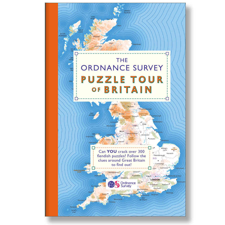
Take on more challenges with the Ordnance Survey Puzzle Tour of Britain book. It has a wide range of challenges and puzzles for all ages, from the simple to the decidedly tricky.

Available now in the OS Shop.
BUY NOW

Top image: MODIS Land Rapid Response Team, NASA. Public domain. Map images © Ordnance Survey, Benchmark image Wikicommons public domain
Liked by 31 users

By OS Team

EXPLORE WITH

OS Maps

Get more from the outdoors with OS Maps. Whether you’re planning a mountain hike, taking the kids for a woodland bike ride, or looking to discover a new local adventure, OS Maps helps you explore with more confidence.

Discover thousands of ready-made routes from outdoor experts; view & download maps directly to your phone, or print from your computer.
With trusted mapping, route planning tools & features, created by Ordnance Survey; OS Maps helps you make the most of your time outside.

Launch OS Maps
digital-maps-2

EXPLORE THE

OS Shop

OS is uniquely positioned to select the best and most trusted outdoor brands, offering an exciting range of essential UK maps and outdoor gear, as well as great custom gifts for the outdoor adventurers in your life.

Go to the shop
Ordnance Survey Shop outdoor equipment