Kids Navigation Challenge!
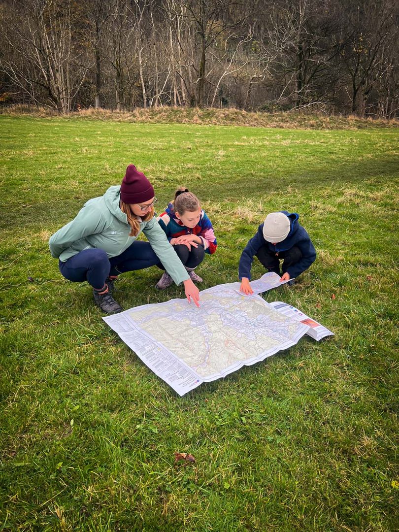
If you’re looking for fun outdoor activities for kids then why not follow in the footsteps of OS Champion Samantha Brown and The Reluctant Explorers who put our customisable maps to the test on a recent walk in the Yorkshire Dales. Challenge your kids to plan a walk at home and then take charge of the navigation.
Find out how to create a Personalised Ordnance Survey Map to make your own kids navigation challenge at the end of this post.
The Reluctant Explorers – Planning and Navigation Challenge for Kids!
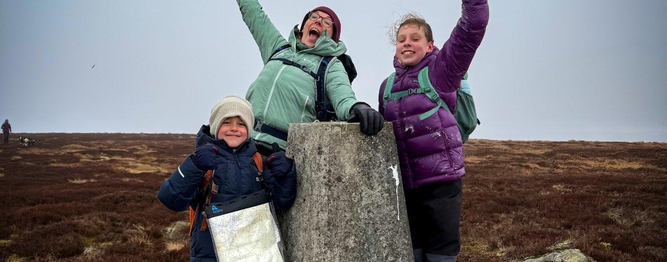
We were lucky enough to take out both the large and small custom-made OS maps on our adventures recently and we LOVED what they brought to a hike in one of our absolute favourite parts of the Yorkshire Dales, the Pen-y-Ghent area.
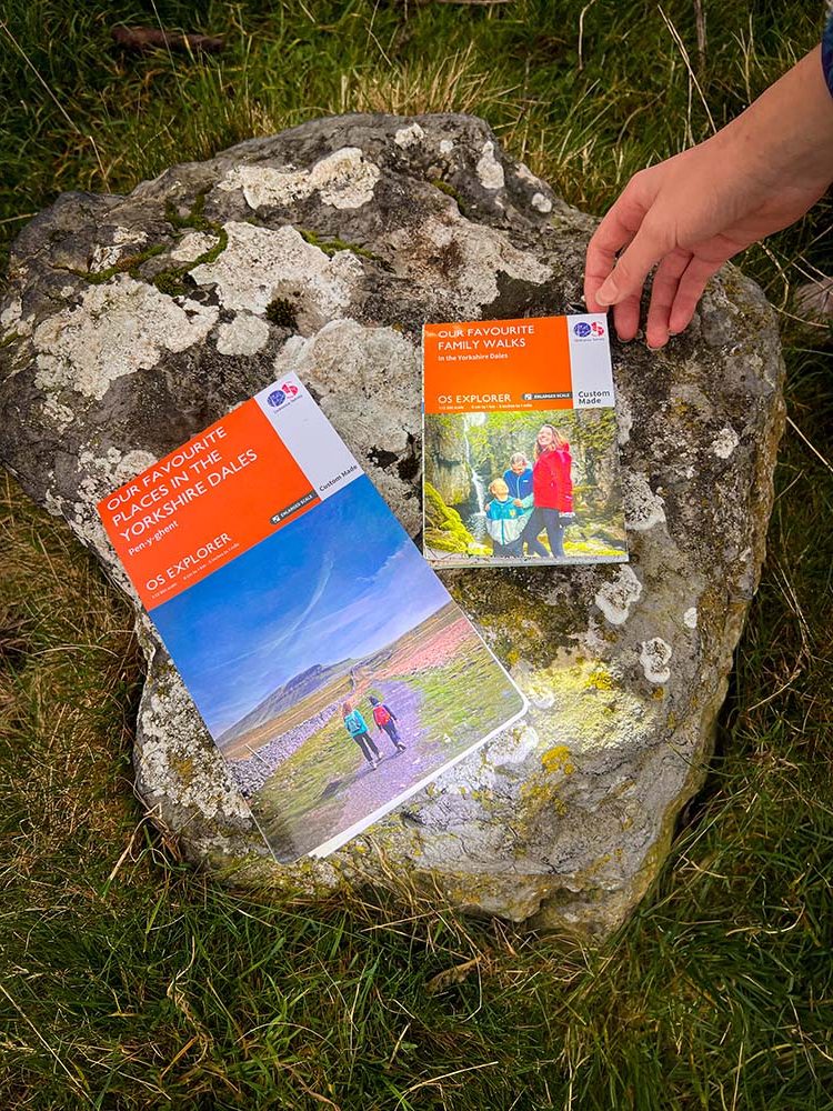
The fact that you can design your own map in both large or small form was perfect for what I wanted to use them for. To help the kids practice their route planning and navigation skills!
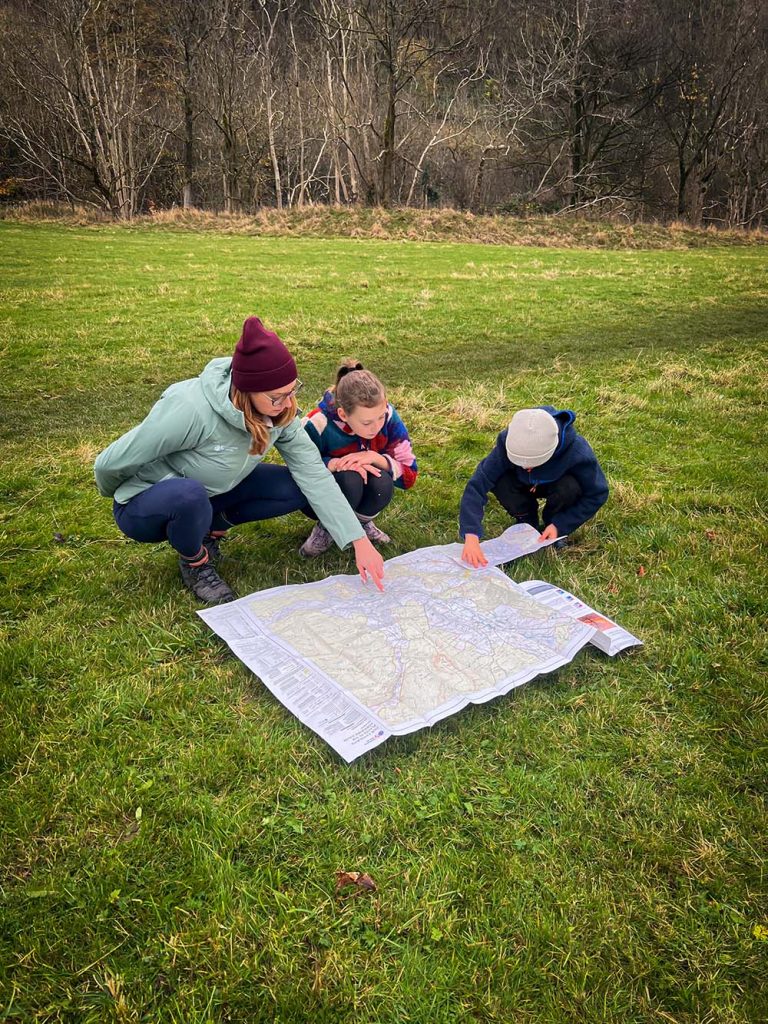
What makes the maps ultra adaptable, is that you can orient it to your own unique location, rather than just sticking to the usual off the shelf areas. This meant I could design the large map to cater for the true Yorkshire Dales weather (i.e. damp and cloudy), giving us low level options if a mountain day wasn’t on the cards, in an area that we love and visit regularly. It also made it much easier to get the kids involved in the route planning, giving them a smaller and more focussed area to plan a day out walking in’t Dales!
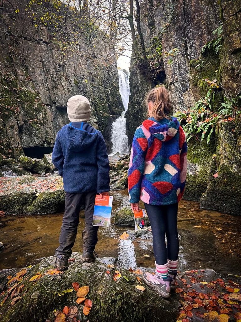
The bespoke nature of both sizes of the maps also meant that the scale was enlarged, and so the map features really popped off the paper and were easier for the kids to spot and then relate to the world around them.
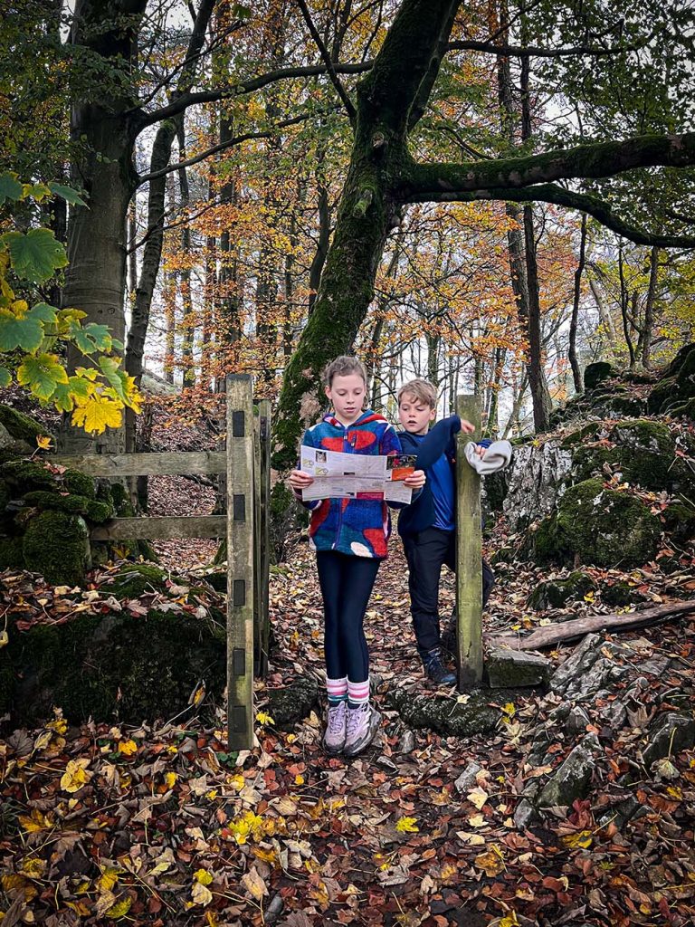
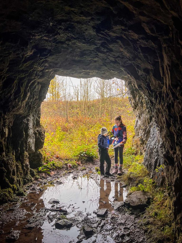
I handed over the small map to the kids for them to use in their navigation and they took the lead. This showed an even more focussed area, which made it super easy for them to use to find exactly where we were and where we were headed next. The fact it was compact, also meant that they didn’t moan about having to carry it either (always a bonus!)
As a family we regularly get outdoors, and hiking is a consistent feature in the kids’ lives, but that’s not to say the idea of a walk is always welcomed!
From my experience, handing over the decision making and navigation to them is an EXCELLENT way of getting them more enthusiastic about the hike (which has the added benefit of you having to listen to less moaning!)
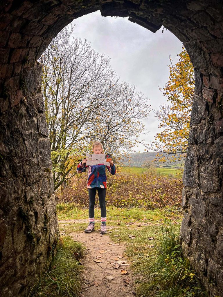
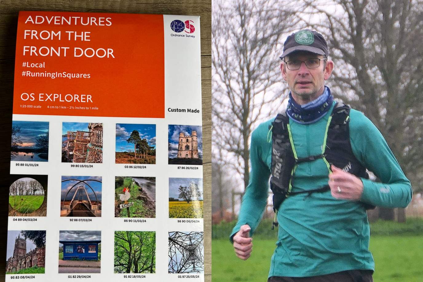
These maps are an excellent way for families to do just that! And the cherry on the cake is that you can add your own pictures and text to the map, to make the experience feel even more like it belongs to the them.
Find out more about Samantha Brown and the Reluctant Explorers on her OS Champion Profile Page
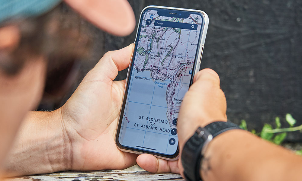
Free Map Reading Guides
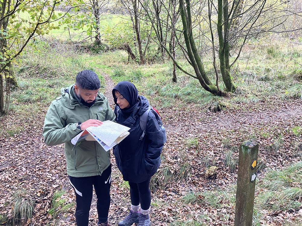
Brush up on your map reading skills with these free guides from National Map Reading Week suitable for total beginners, expert navigators and even kids.
A beginner’s guide to geocaching
Combining exploring with treasure hunting, geocaching is a great way for families to #GetOutside. Learn how to get started with this beginners guide.

Map Reading Skills for Children
Find out how to get children reading maps and encourage them to improve their navigational skills. Our guides will show you how to make map reading for kids of all ages both fun and educational.
How to Create a Personalised Ordnance Survey Map
It’s just 3 steps to build your own personalised map

1. Choose the kind of map you would like, The Reluctant Explores picked folded paper maps but you can choose from lots of options.
2. Pick the location and map scale. You simply select where you want the centre of your map to be. You can then reposition the map to include exactly the right areas you want displayed.
3. Next is the really fun bit. Add some personalised text and if choosing a folded map you can pick a photo for the front too.
Start building your very own Ordnance Survey map today!
EXPLORE THE
OS Shop
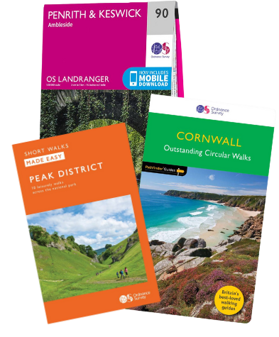
We are with you every step of the way. Shop our trusted walking and hiking maps and guidebooks so you can explore the outdoors with confidence.
Go to the shop