An interview with the prolific outdoor author whose passion for the Welsh mountains sparked a lifelong career in guidebook writing.
With a career spanning over three decades and over 30 guidebooks written, John Gillham has firmly established himself as one of Britain’s leading outdoor writers, illustrators and photographers. Since 1989, he’s been crafting beautifully illustrated coffee-table books that celebrate the landscapes of the UK, beginning with his debut Snowdonia to the Gower, now considered a classic on Wales. His acclaimed four-volume Pictorial Guides to the Mountains of Snowdonia earned high praise from the Mail on Sunday, who dubbed him “Snowdonia’s answer to Wainwright.”
In this interview, John reflects on the walk that sparked his writing career, shares the joys and challenges of creating guidebooks, and offers practical advice for those new to hiking. We also explore his favourite OS title, how he balances digital and paper navigation tools, and what changes he’s noticed in the outdoor community over the years.

EXPLORE THE
OS Shop
We are with you every step of the way. Shop our trusted walking and hiking maps and guidebooks so you can explore the outdoors with confidence.
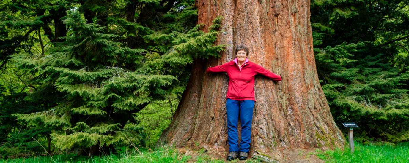
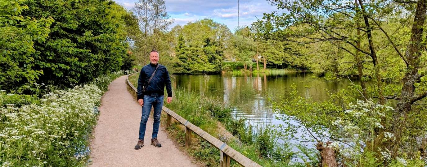
Go to the shopShort Walks Made Easy Guides from John Gillham for Ordnance Survey
What sparked your passion for the outdoors and how did you become a freelance outdoor writer?
My parents took me up Yr Wyddfa (Snowdon) when I was eight but it wasn’t until I was in my late twenties when I started to go regularly to the mountains with my nephew Roy, who had been bitten by the bug on school trips. I do not know if I was inspired by my Welsh ancestry or by childhood memories of camping in Llanrwst, but in September 1981 Roy and I completed a coast to coast walk of Wales – from the Irish Sea to the Bristol Channel.
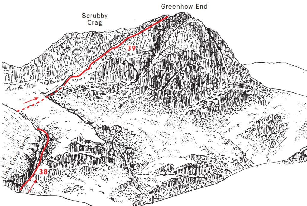
It was a memorable experience. The trip however illustrated to me the need for a comprehensive guidebook. For the route I had chosen, and which had looked so good on the map, was inadequate in many places. Footpaths had become dilapidated through neglect or were obstructed by barbed wire fences or locked gates. There was little useful literature on anything other than Snowdon (Yr Wyddfa) and in this light I decided I would research and write my own book. My first book, Snowdonia to the Gower (pb Diadem Books) was born.
Can you tell us a little bit about the process for writing one of your guidebooks and which part you enjoy the most
A new book is like a blank canvas. The most enjoyable part of the process of filling that canvas, or pages if you like, is the planning, putting together varied and scenic routes. This begins for me by fingering through the OS maps, letting the contours lead my imagination into as yet unknown corners. And it’s so rewarding when those corners turn out to be every bit as nice as I had hoped. The author needs to lead the walkers on a series of adventures into the countryside and add some colour by anticipating what they might see on the journey, whether it be a rare butterfly or an historic building. Research here is a key part of the project and, done properly, involves quite a lot of time and effort. There are so many misleading or downright false ‘facts’ on the internet these days. Lead times with books are sometimes short but when time allows I like to get photos in all weather and seasons.
Can you share 3 top tips for people starting to get into walking and hiking
- Everyone should learn how to read and use a map before venturing into the countryside, especially if that countryside is mountainous.
- Wearing suitable clothing is essential with the changeable English weather. Good breathable waterproofs are essential, for getting cold and wet will render the walker vulnerable to hypothermia. Wear good walking boots when heading for the mountains.
- Make sure to take enough food and water – not taking enough food is the quickest way of becoming tired; being tired is the quickest way of sustaining an injury.
Do you have a favourite of the books you have written for OS? What made it so special to create?
Short Walks Made Easy: Greater Manchester. Even though I am quite local to the area the number of green corridors through the city was a revelation and the rich industrial heritage of the city provided a great contrast.
What do you use to help with plotting routes and navigating? Do you use paper maps, or have you fully transitioned to digital tools like OS Maps and GPS?
I plot my routes on the computer before transferring them onto the digital map app on my mobile phone. For safety in case my mobile loses power I carry a back-up OS paper map.
Have you noticed any changes in how people engage with the outdoors since you started writing guides?
Walkers these days carry more gadgets such as digital maps on their mobile phones. Since the Covid outbreak more people have taken up hiking as a hobby and more have dogs with them.
Where can we learn more about you and follow your adventures online?