Santa’s Secret Map!
Filling stockings and delivering gifts to millions of homes in one night? That’s no small feat, even for Father Christmas. Santa is renowned as a master navigator, and his secret weapon isn’t just magic, it’s the power of OS Maps and the sophisticated data sets from Ordnance Survey! (along with his trusty reindeers of course!)
Why Navigation Matters for Santa
Every Christmas Eve, Santa faces the ultimate challenge of plotting the most efficient route across the UK. He needs to avoiding obstacles like high mountains and deep lakes that might put the reindeers in danger as well as find every household with pinpoint accuracy. With stockings waiting and mince pies cooling, there’s no time for wrong turns.
We asked Father Christmas for a few words:
“Ho ho ho! When you’ve got stockings to fill and mince pies waiting, you can’t afford to get lost! OS Maps keeps me and my sleigh on track. It’s the best way to make sure every home gets a little Christmas magic and I get home to Mrs Christmas and the elves on time, with all my reindeers safe and sound!”
Santa’s Navigation Toolkit: OS Data Layers
We first shared our rooftop dataset with Santa back in 2024, so this year’s deliveries will be a breeze, he might even be faster than ever! Before the big night, Father Christmas carefully plans his route using official OS data. Thanks to our advanced mapping, he knows exactly what to expect: the shape and material of every rooftop, so he can land safely and avoid slippery metal or solar panels; the precise building footprints that help him find the right spot; and accurate addresses, because missing a house means missing a stocking. With all this detail, Santa can plan and optimise his journey making sure he hits his tight 24hr target.
Father Christmas on the Move with OS Maps

Once the sleigh is in the air, Santa pulls out his trusty OS Maps app for pinpointing his location! But don’t worry, he still keeps a big paper map tucked under his red coat (old habits die hard).
Here’s how he keeps on course with OS Maps
- Offline maps for those tucked-away cottages hiding in snowy dips.
- 3D view so he can glide over rooftops with confidence (and avoid any surprise solar panels!).
- Custom routes to mark his favourite snack stops, mince pies for him, carrots for the reindeer.
And of course, Santa switches on OS Maps night mode because stealthy sleigh rides are part of the magic!
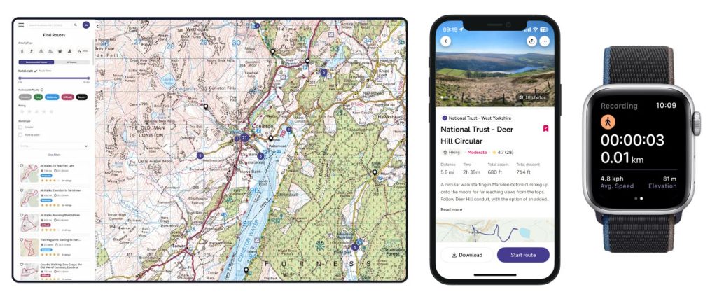
Learn How to Navigate Like Santa!

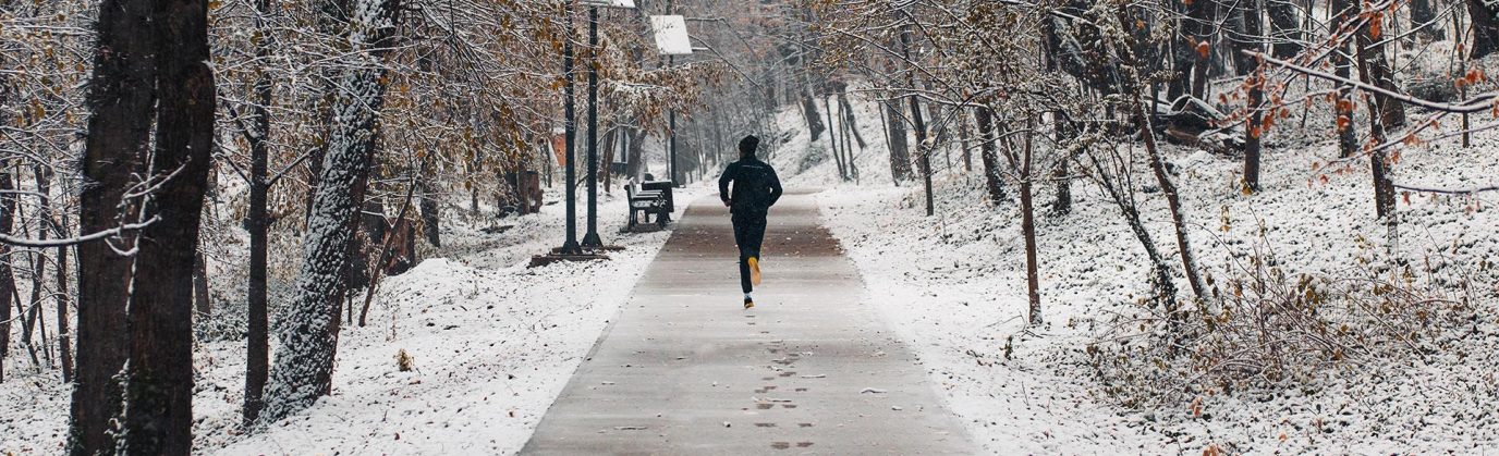
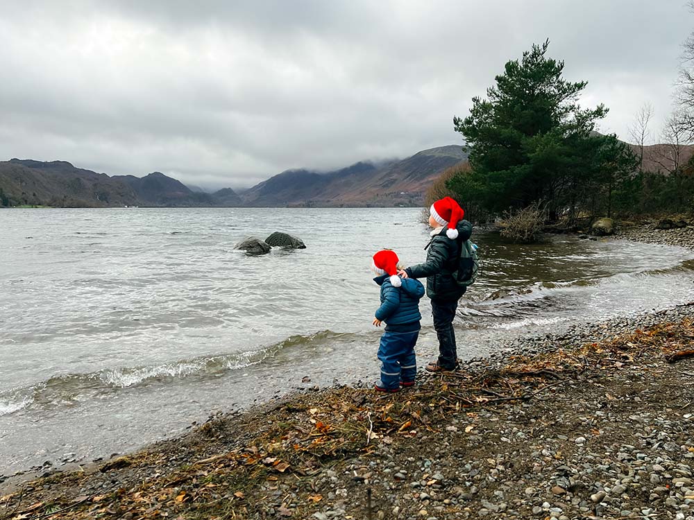
You might not have a sleigh or reindeer, or access to some of our incredibly sophisticated data layers like Santa, but you can still plan your own festive adventures with our paper maps and OS Maps. Whether it’s a Christmas Day walk or a winter hike, OS Maps helps you find the best routes to explore safely. We have loads of tips for getting started with reading maps and learning to navigate. Head over to our Map Reading Knowledge Hub to get started.