5 Great Glyndwr’s Way Circular Walks
Explore Glyndŵr’s Way: A Journey Through History and Nature
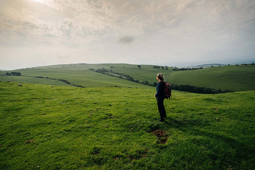
Glyndŵr’s Way is a 135-mile (217 km) long National Trail that meanders through the stunning landscapes of mid-Wales. From historic towns and open moorland to rolling farmland and enchanting woodlands, this trail is perfect for all nature lovers. Starting in Knighton and ending in Welshpool, the trail is named after Owain Glyndŵr, the Prince of Wales and Medieval Welsh nationalist leader who led a rebellion against King Henry IV of England in 1400.
You don’t have to tackle the entire trail in one go to appreciate this popular footpath. Instead, you can enjoy it as a series of day walks. We have 5 Glyndŵr’s Way Circular Routes to share, each with its own unique charm and an OS Map link included for easy navigation:
Glyndwr’s Way Long Machynlleth Circular
Walk out of historic Machynlleth to explore the nearby countryside, following tracks and paths into forested hills. Link with the course of Glyndŵr’s Way with the option to make a short detour to the scenic Llyn Glanmerin. Glyndŵr’s Way is clearly waymarked and leads down from the hills, passing through a park to return to town.
Distance: 6.5 miles/10.4 km
Start: Owain Glyndwr Centre, Machynlleth
Glyndwr’s Way Short Machynlleth Circular
Leave the town of Machynlleth to climb steeply into the hills at Parc. You can make a short detour to Llyn Glanmerin, or simply link with the course of Glyndŵr’s Way and follow it over the hills. A gradual descent, taking in the Roman Steps, leads to a park on the way back to the town centre.
Distance: 3.6 miles/5.75 km
Start: Owain Glyndwr Centre, Machynlleth
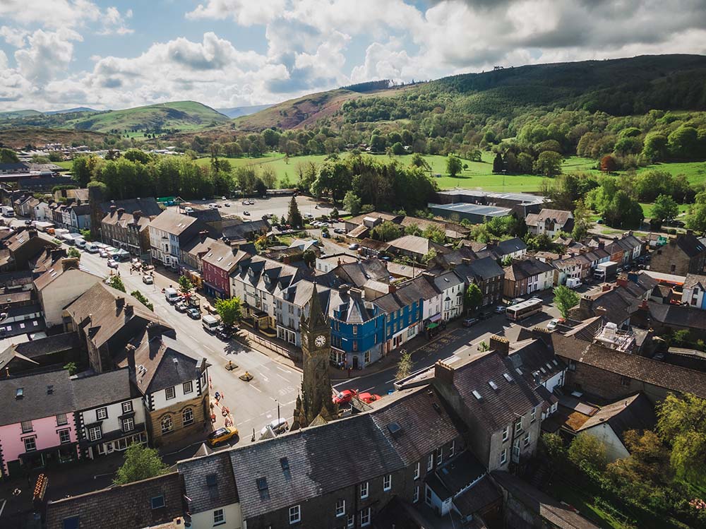
Glyndwr’s Way Knighton Circular
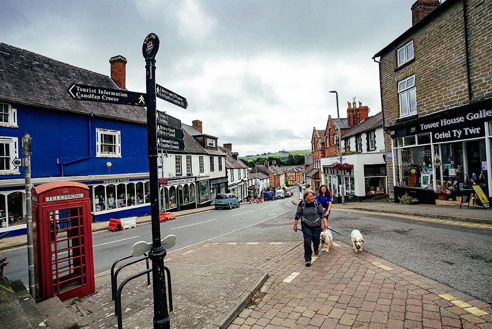
From Knighton trace the famous earthwork of Offa’s Dyke over the Shropshire Hills. Cross the green valley of the River Teme and follow the Heart of Wales Line Trail from Knucklas, climbing steeply back into the hills. Link with Glyndŵr’s Way to walk through a pleasant woodland on the way back to Knighton.
Distance: 7.4 miles/11.9 km
Start: Offa’s Dyke Centre, West St, Knighton
Glyndwr’s Way to Cemaes
A linear route that is best accomplished by using local bus services. The route crosses grassy hills where you can enjoy fine views of the Dyfi Valley, with the Eryri National Park beyond. Look out for old mills beside fast flowing rivers while passing through the little villages of Abercegir and Penegoes.
Distance: 9 miles/14.6 km
Start: Cemaes Road
Glyndwr’s Way National Trail – Dylife Circular
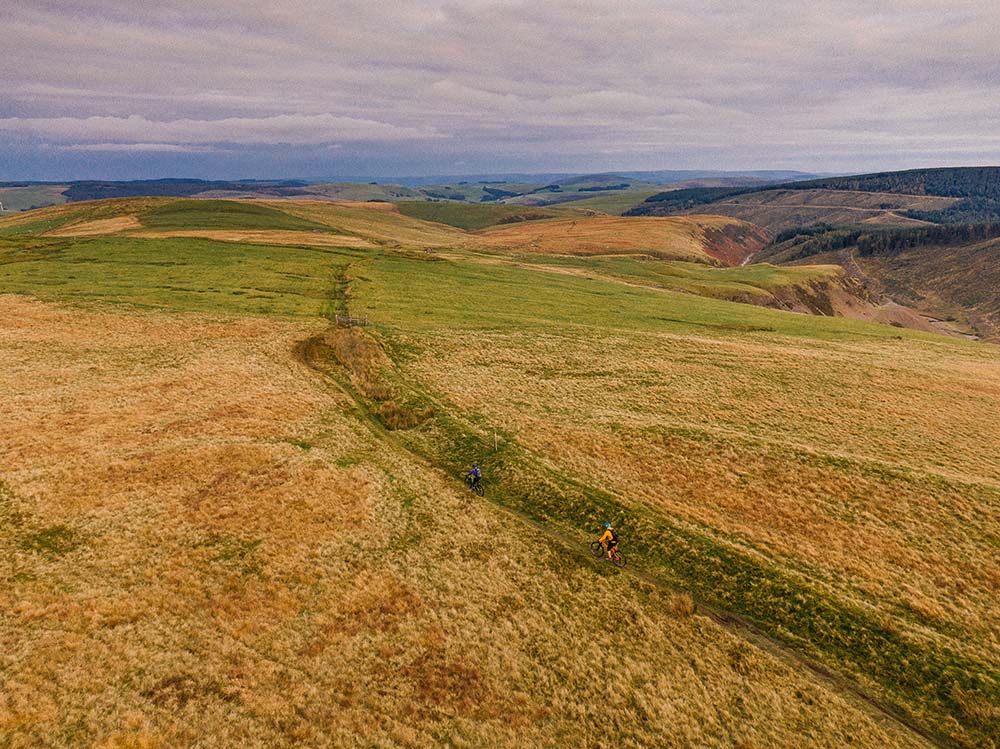
A walk over hills and moors, best accomplished on a fine, clear day. Visit a Roman fort and enjoy the same views that the Romans had of mid-Wales. Pass old mining sites, the lonely moorland lake of Glaslyn, remote hill farms and the tiny village of Aberhosan. Climb to a remarkable viewpoint on a mountain road.
Distance: 11 miles/17.7 km
Start: Dylife
We hope you have enjoyed these Offa’s Dyke Circular Walking Routes, it’s great to have a list of routes that are available to those travelling by rail, a fun way to explore the countryside.
There are many more exciting walking routes available to visit across Wales including all of the fabulous Wales Coast Path Circular Routes.
By National Trails & The Wales Coast Path
Natural Resources Wales manages an extensive network of trails, including three National Trails: Glyndŵr’s Way, Offa’s Dyke Path, and the 870 mile long Wales Coast Path. These trails offer a variety of walking, cycling, and horse-riding routes through some of the most stunning landscapes in Wales. Their commitment to maintaining these trails ensures that visitors can enjoy the natural beauty and historical significance of the Welsh countryside.