A Life More Adventurous – Felicity Martin Author & Photographer
I was delighted to get the chance to ask Felicity Martin, the author of Outstanding Walks in Scotland and many of our Scottish Pathfinder and Short Walks Made Easy Guide Books, a few questions about her life for our new series ‘A Life More Adventurous’.
Felicity talks passionately about how she became a freelance photographer and why she feels getting outside and into nature is so vital for us all. She also shares her tips for improving our own photographs when out hiking.
(All images are ©️Felicity Martin)
What sparked your passion for the outdoors and how did you become a freelance outdoor writer and nature photographer?
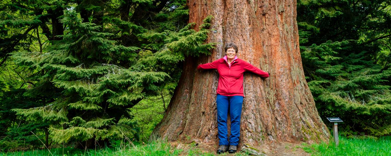
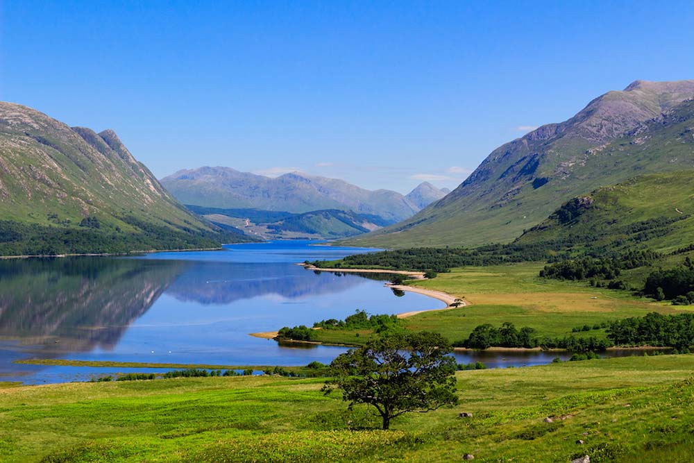
I have always felt at home in the natural world. As I child I was a bit of a tomboy and loved climbing trees. My parents took me on country walks and my father instilled in me a love of maps. I never remember not being able to read one! But I longed for wilder places than Surrey to explore.
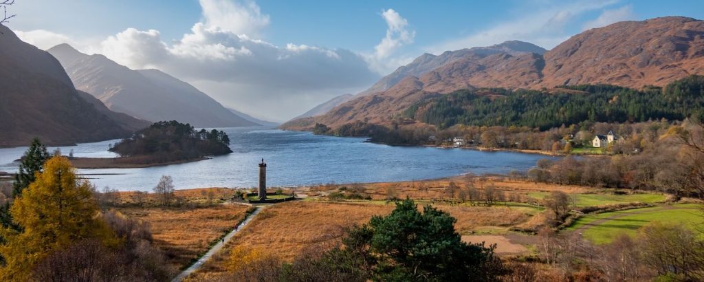
After moving to Scotland for a job, outdoor activities became my escape from work. I improved my navigational skills through orienteering, climbing mountains and competing in mountain marathons. I enjoyed taking landscape photos and gradually improved my shots through regular practice and learning from others.
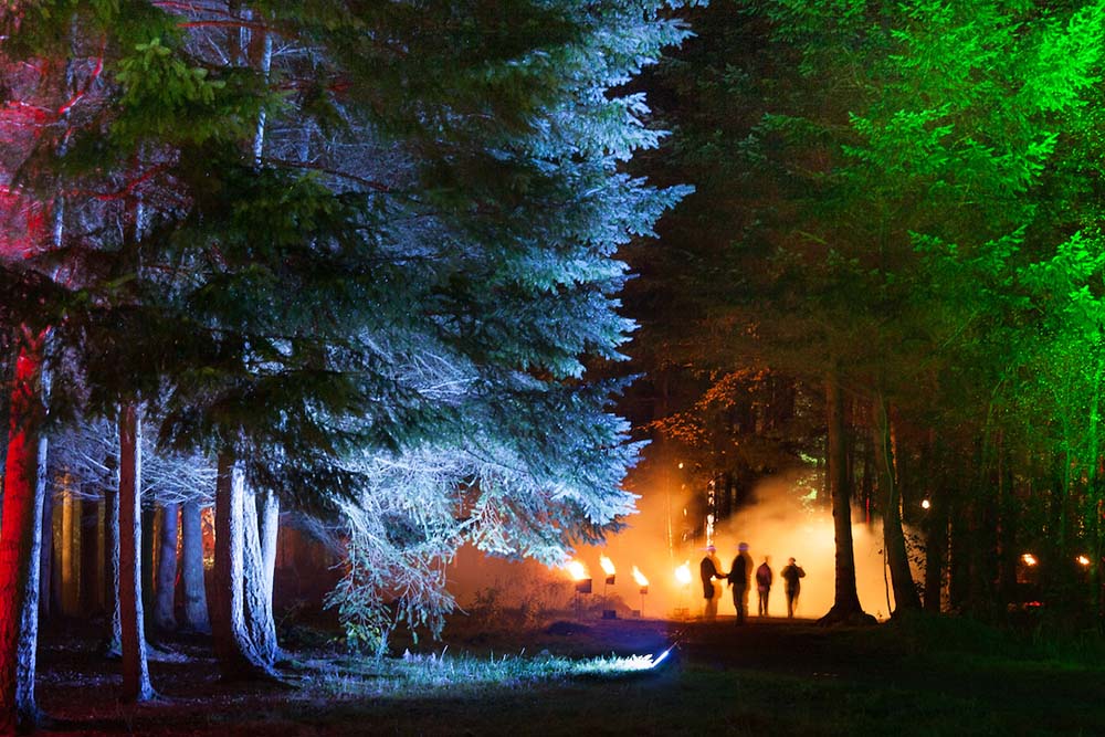
It was only in mid life that I had the confidence to try making my living as a freelancer doing the things I love. The first thing I did after quitting my job was to take a multi-day walk around the coastline of the Ardnamurchan peninsula in the western Highlands. On the first night while bivvying a red deer hind came and lay down near me to sleep. And later I walked over a rise and encountered a golden eagle sitting on a rock. It was as if nature was giving a vote of confidence for my decision (though building up a regular income took a while!).
I read that you have a degree in psychology, do you have any theories on why it’s so important for people to connect (or reconnect) with our natural surroundings, especially mountains which seem to have a powerful draw for so many?
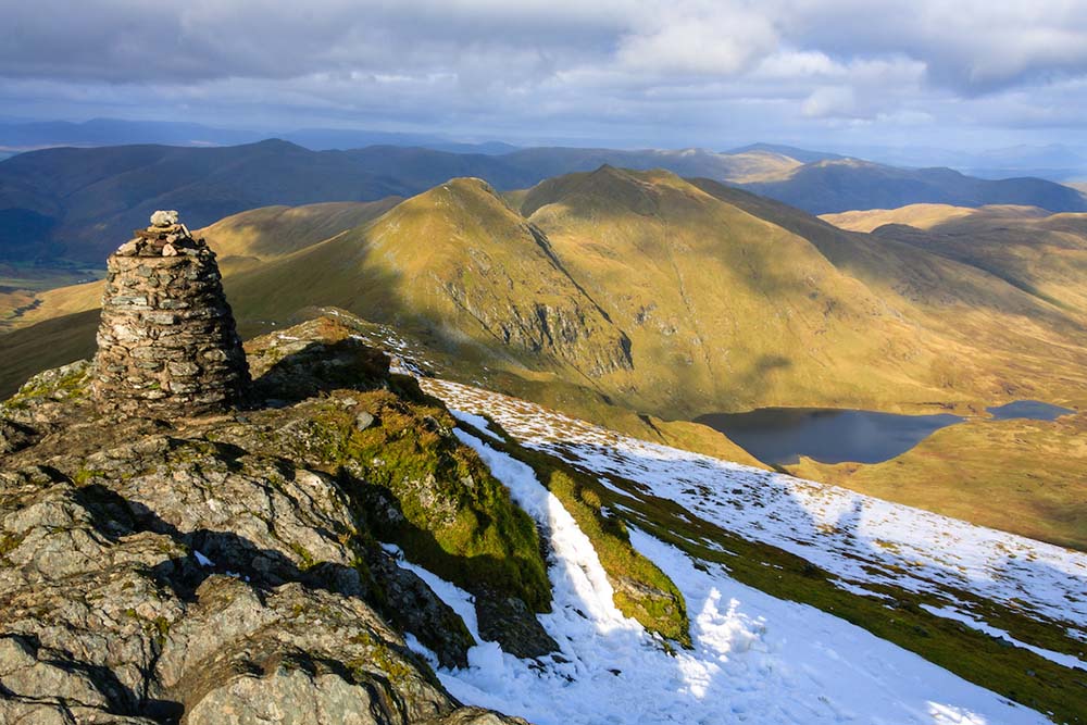
This is such an important topic, one that I am focussing on more and more. In modern society most of us have become so divorced from the natural world that we tend to forget that we are animals ourselves and a part of nature.
Our species evolved outside in constant contact with soil, rocks, plants and other animals. Not in centrally-heated homes with armchairs and sprung mattresses. Perhaps that’s why camping is such fun. By abandoning home comforts we feel more in touch with natural elements.
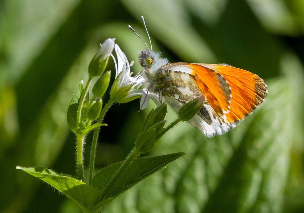
When we are outdoors we reawaken our dormant senses. We can feel the wind on our skin, hear the birds, smell the blossom, taste wild blackberries and see the autumn colours. I believe that using these senses to reconnect with the physical world, be it in a wood or a wildflower meadow, can bring solace and well being.
I also think the sense of motion is important and integral to our well being – there’s great pleasure in relaxing after a day spent moving your body through the landscape. Especially if it involves the effort of climbing a mountain and fully using the body we were given.
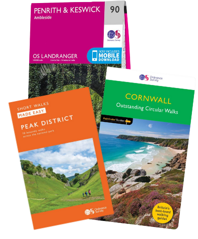
Your latest book ‘Outstanding Walks in Scotland’ is absolutely beautiful, it’s as much a work of art as it is a guide book. How have you enjoyed pulling together all of the routes and photographs? Can you tell us a little bit about the process for selecting the routes.
It was fun to have the whole of Scotland as a canvas. Choosing the routes was a collaborative process with my editor, Kevin Freeborn. Our long list was chosen for outstanding qualities: scenic landscape, notable heritage, natural history or cultural associations. The walks that made the final cut combined several of those qualities.
Our initial ideas for walks came from the Pathfinder series – I have worked on many of them with Kevin over the years. We added in other memorable routes I have done in the past, plus a few I had missed until now.
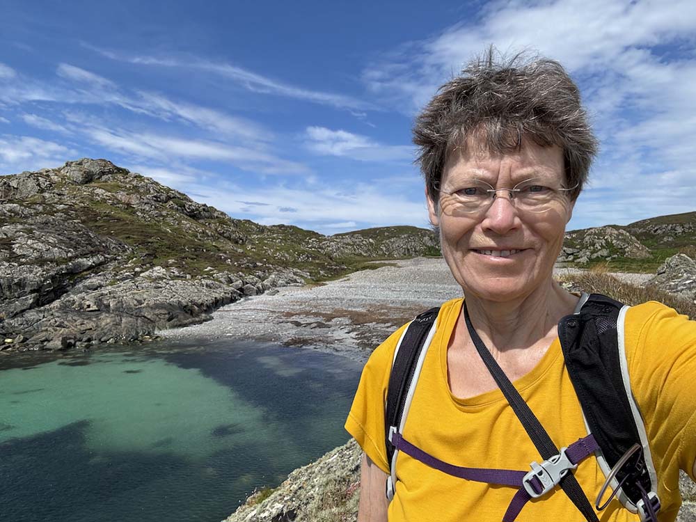
Since going digital 20 years ago I have built up an enormous library of photographs from around Scotland. I enjoyed trawling through those images to give the designer more choice than simply what I could photograph between commissioning and delivery. I love colour, so tend to select images that are brightly lit rather those from wet, misty days. A few stock images were included of subjects I couldn’t provide.
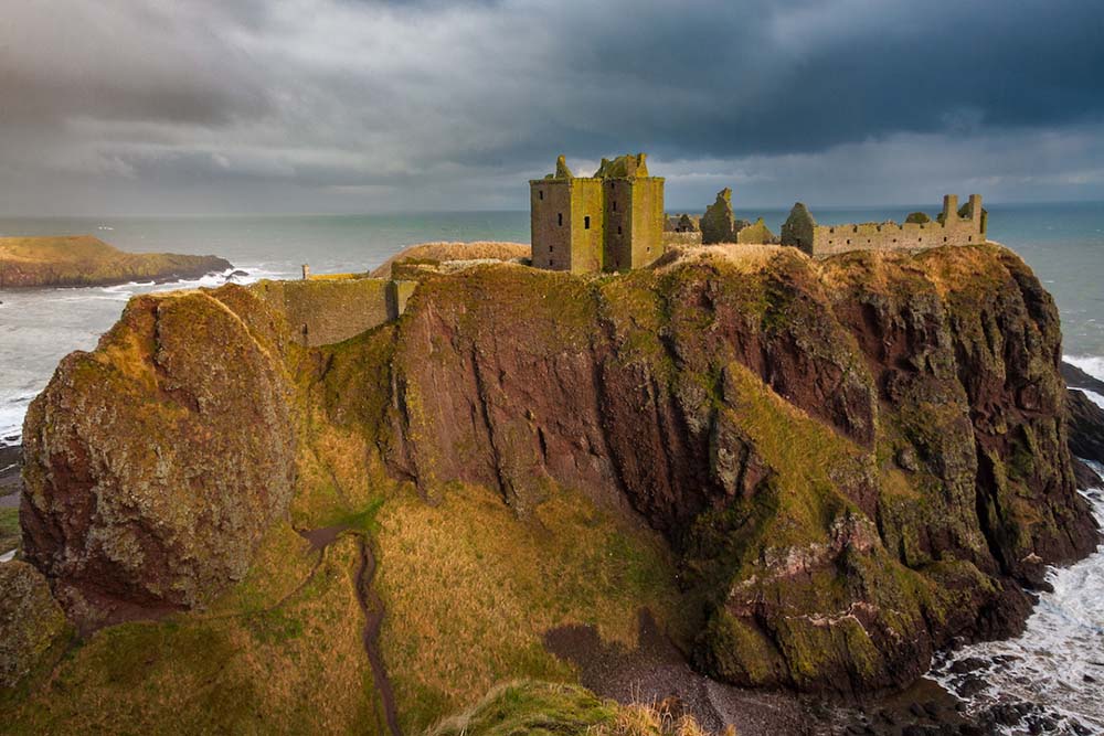
As a professional photographer could you give a few tips to hikers like myself for creating drama when photographing epic landscapes? I find the pics on my phone never quite do the scenery justice.
Of course no two-dimensional image will ever replicate the feeling of gazing at a three-dimensional landscape. It helps if you can find elements in the scene that give it a feeling of depth, perhaps a rock or a bench close by, trees in the middle distance and hill ridges in the distance.
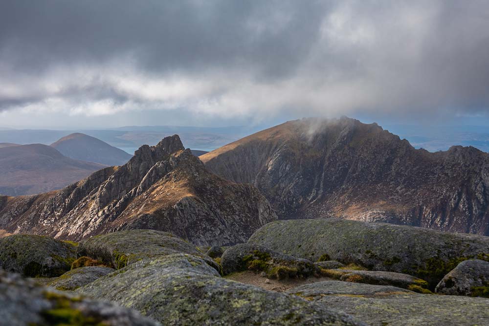
You can never fit it all in so you have to be selective – imagine a rectangular frame and position it over part of the scene to make a pleasing composition. I often use the rule of thirds in deciding where to have my focal point, a third in from one side and top or bottom; it looks more satisfying than plonking it dead centre.
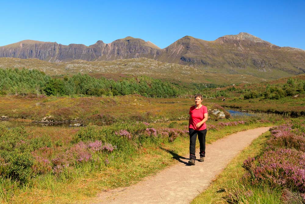
We like to know where to look in a picture, so it helps if you can have lines or shapes that lead the eye towards the subject, such as a path or fence running diagonally towards the stunning peak you are photographing.
Can you share any advice for first time hikers looking to try some mountains in Scotland.
My first advice would be don’t travel too far. If you spend hours heading up a remote glen to a hill and find it shrouded in cloud you may be put off for life! I often recommend my local mountains in Perthshire as they are accessible from the central belt and include easy first-time Munros, such as Ben Chonzie, as well as the tenth highest mountain in Scotland, Ben Lawers. But any of the southern Highlands are easy to reach.
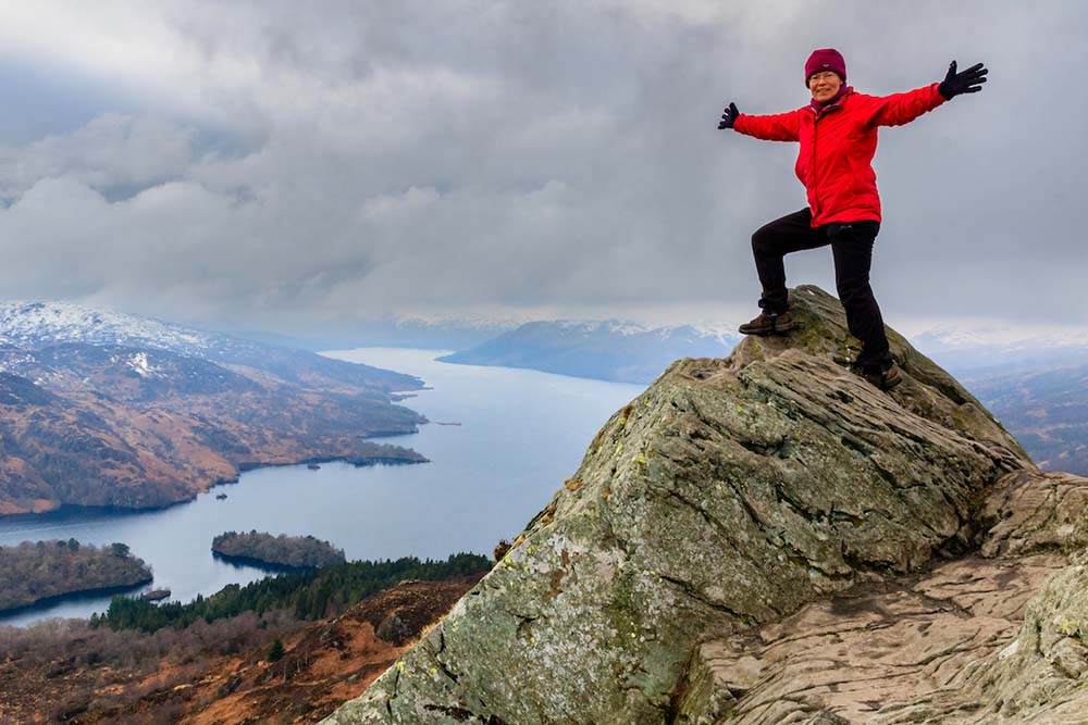
Popular hills, where there are many descriptions of the same route, are popular for a good reason. They tend to be very rewarding and not too challenging. You may find more people around when climbing them, which can be more reassuring than a solo ascent when you’re starting out.
Look at the difficulty rating of potential walks and start with Moderate rather than Difficult or Severe. Also check how high the start point of a route is. It is much easier climbing a hill from 2000ft up at the Cairngorms ski centre rather than from sea level in Fort William.
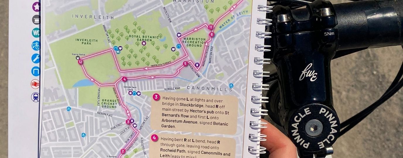
Importantly, don’t rely 100% on your phone – take a paper map or printout from OS Maps as a backup. Also carry a compass, which you can use to orientate the map to north so that it matches the surrounding landscape. Even better, learn how to take a compass bearing to use for direction finding in poor visibility.

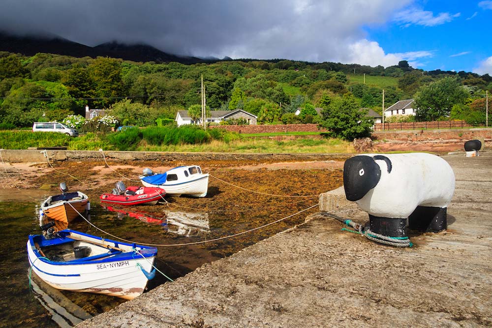
Can you share your 3 favourite Scottish routes and give us an insight into why they are meaningful to you?
Oh, that’s hard – to pick only three, especially as my favourites change with my mood. And often my favourite walk is my most recent, because I am excited about having just done it and my mind is full of what I’ve seen. To settle on three I have picked walks that I return to time and time again, and always want to do when I’m in that area.
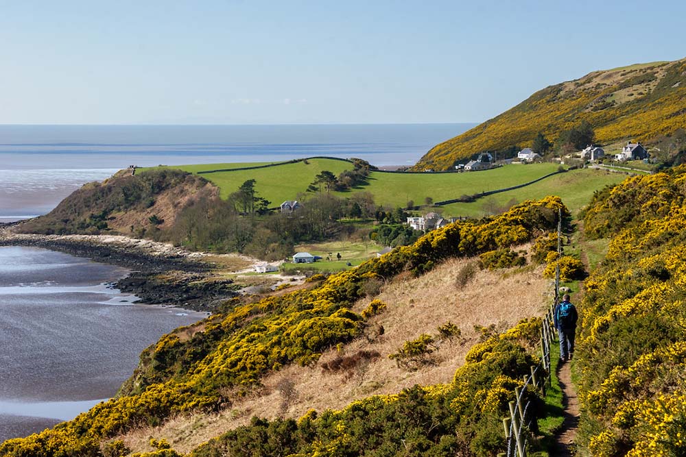
First is the Colvend Coast in Dumfries & Galloway, a spectacular coastal walk through a National Scenic Area. I love the views and the feeling of unlimited space I experience on this route, which runs along beaches, saltmarsh, and cliffs lining the Solway Firth, with a landscape of rolling green pastures and woods on the inland side. It is a fairly energetic walk, with repeated ups and downs, but the reward is ever changing scenery. I first did it decades ago when holidaying on a nearby campsite in a tent, but now return to it in the relative comfort of the campervan I use for research.
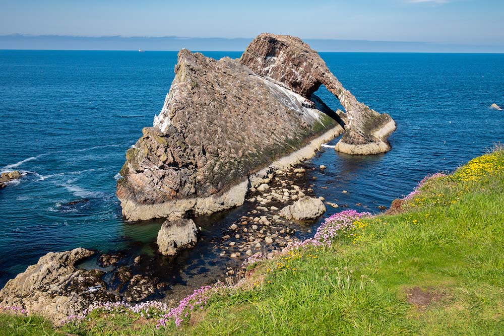
Next is another, easier coastal walk that I am always recommending to friends, including ones who are not regular walkers. Cullen and Portknockie are neighbouring villages on the Moray Coast in the north-east. I usually start or finish this one with a bowl of the traditional Scottish fish chowder, Cullen Skink, which originated here. The outward leg goes along a disused railway viaduct that strides above Cullen, giving a bird’s-eye view over the route. From Portknockie, a traditional fishing village, it returns above cliffs with wildflowers and the fascinating Bow Fiddle Rock, which I will never tire of photographing. And I always look forward to finishing along Cullen Beach, a vast expanse of golden sand.
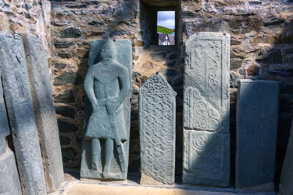
My third is a magical place – Kilmartin Glen in Argyll in the west of Scotland. It is heaven for anyone who, like me, enjoys archaeological sites because there are more than 800 in this valley. The walk threads some of the best together: chambered cairns, standing stones, stone circles, cup and ring marks and a collection of medieval graveslabs. The Kilmartin Museum, adjacent to the start, does a superb job of interpreting the 12,000 years of human history that can be traced in the landscape. I find a great sense of peace in this atmospheric location.
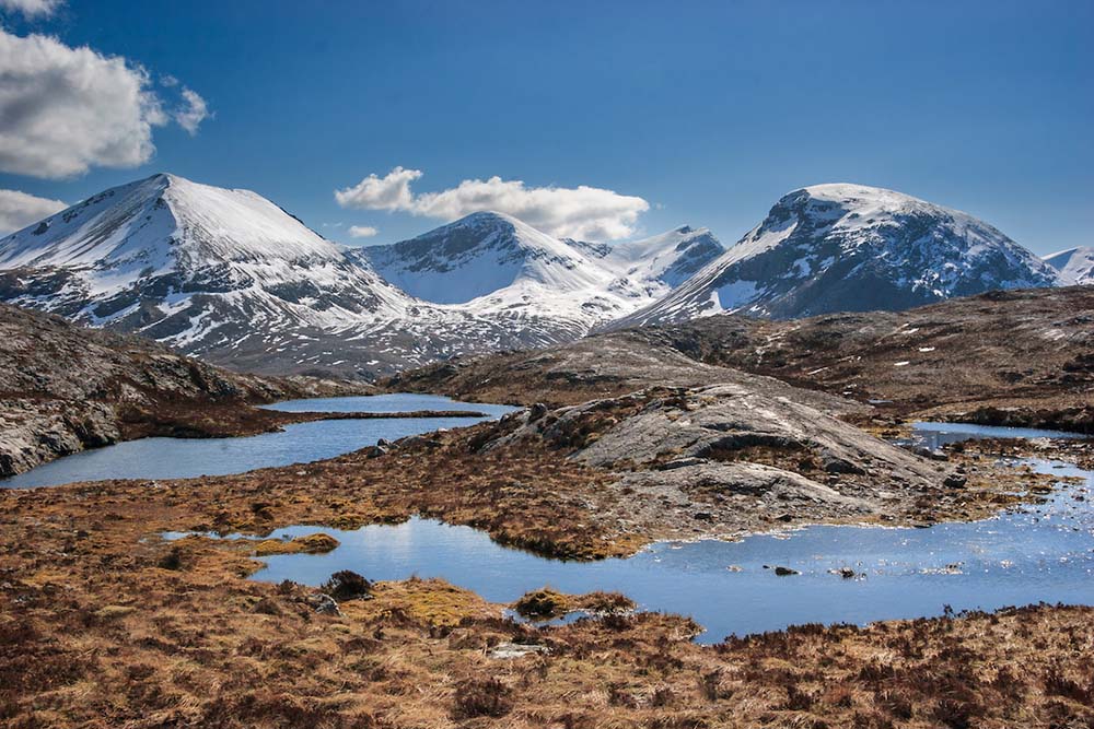
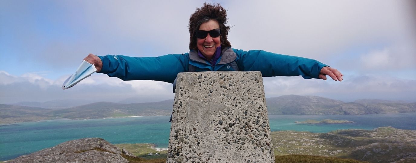
I was going to include a mountain walk, but the choice was too difficult. However, I would commend the Beinn Eighe Mountain Trail to anyone wanting a taste of Scotland’s finest mountain scenery. The 4-mile walk is quite physical, with a sustained climb over rocky ground, but at the summit you feel on top of the world.
Felicity Martin
www.felicitymartin.co.uk
By Hilary Pullen
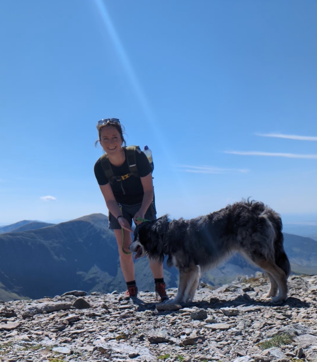
Meet Hilary, Editor of Get Outside – the Ordnance Survey Blog. Hilary is based in North Wales and loves hiking with her dogs in the mountains of Eryri and Bryniau Clwyd, you can find her on Instagram @nearlyuphill and read her guides to walking in North Wales on her blog. Drop her an email hilary.pullen@os.uk if you are interested in posting an article on Get Outside.
