This new long-distance walking route is ideal for beginners, as there are no significant hills and you can easily choose how much you want to cover at a time.
Leeds-based Paul Brown started walking at the age of 13 when he completed his Duke of Edinburgh Award in school, and spent much of his free time exploring the Yorkshire Dales and Lake District.
When he retired from the police force, he and a few friends decided to take on some of the local long-distance walks and National Trails in the area to celebrate. Before too long they had completed all the routes nearby and were looking for something new to try.
One suggested walking from Leeds, where they were based, all the way across to the east coast – but then discovered that there were no official long-distance trails heading the right way. However, with so many footpaths, there had to be a way…
This started a year-long project for Paul. He started out using OS maps and his knowledge of the area to look for suitable day-long walks so that the group could complete the challenge. After finishing the cross-country route over several days, he decided to try to develop an easy to follow guide that others could use.
The first challenge was the route. Planning a multi-day route meant splitting it into stages, but when the route was split into manageable sections Paul found that there were areas with no suitable accommodation available, meaning the route had to be adjusted.
The second was creating a guide that could give directions every step of the way. Paul walked the route again, taking notes and pictures, which over time he collated into a complete collection of notes for the route. This was edited down to be as succinct as possible, but still giving enough details so that other walkers could follow the route, even without a map.
It’s for this reason that there is no mapping in the book – the directions describe each road, path and turning to make it easy for anyone to follow, even if their navigation skills are a bit rusty!
Finally, Paul’s friends were roped in as testers. Their objective was to try and walk the revised route, using only the route notes for guidance. After successful completion, Paul felt the book was ready to publish, which he did in 2012.
The route itself, aside from the distance, is very easy for a long-distance path. The gentle terrain means there are no mountains, and not even any particularly steep hills to contend with. The total distance is 168km (104 miles), with most walkers taking a week or so to complete it, although it’s possible to complete it faster, or split it into smaller sections.
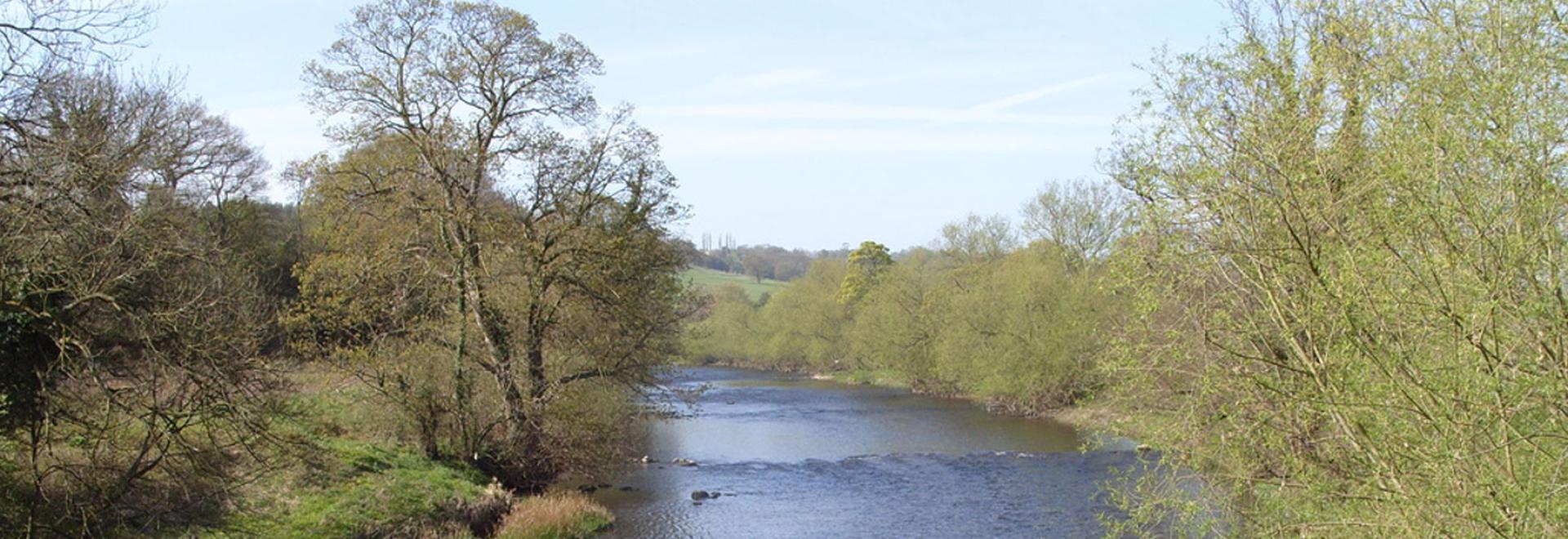
What makes the route so interesting is the variety of terrain it covers. Each part has own attractions, reflecting the distinctive environment and long history of the area. From the starting point in the modern city centre of Leeds, the route follows the River Wharfe past small villages and individual farms, then skirts the historic city of York.
The final stages of the route is through the North York Moors National Park, passing through wooded valleys as it approaches the Scarborough Jurassic Coast. It allows walkers to discover dinosaur footprints near the beach before completing the route near the Old Harbour in Scarborough itself.
At the moment the route is not recognised as an official National Trail or Long-Distance Path, as it does not have route markers in place, but the guide makes it easy for even beginners to navigate.
Useful links

The White Rose Way book is available from the website
All images © Paul Brown


