Escape to an island for an adventure
Having explored over 600 islands in Britain, Lisa Drewe shares some of her top family-friendly island adventures in Britain, plus recommended walking routes. Whether you are a hiker, sand-castle maker, beach lover, wildlife watcher or just have a curious mind, these family-friendly adventures will help make a great tip. xs
Shortcuts: England | Wales | Scotland
There’s nothing quite like walking across tidal sands or jumping on a boat to find adventure in the hidden gems that are our islands. Hundreds of them grace Britain’s coastline – each one very special in its own way. From vibrant communities, spectacular wildlife and wild beaches to Viking ruins, secret bunkers and dinosaur islands there’s always plenty to discover. A family island adventure makes the perfect summer holiday or short break away.
If you want to discover every island in Britain, get access to all 607 OS Leisure maps on and
offline with a free trial of OS Maps. You can also find hundreds of walking and cycling routes to help keep you busy.
England
St Martin’s, Scilly Isles
Snorkel with seals
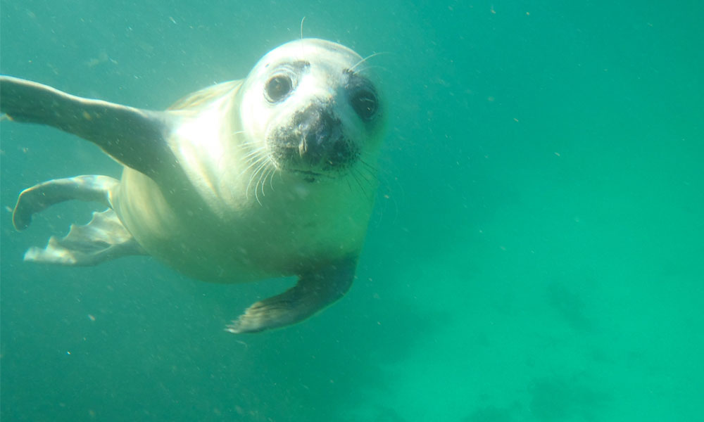
An experience of wild nature at its very best, swim or snorkel with Atlantic grey seals and their pups. These guys aren’t shy, so expect an up-close experience and watch out for your flippers as they love to play and nibble. Book with Scilly Seal Snorkelling. The Isles of Scilly are stacked with more family adventure. There are fabulous coast paths around St Mary’s, Tresco, St Martin’s, St Agnes, and Bryher; coasteering off Peninnis Head, St Mary’s; swimming off the idyllic sand bar between Gugh and St Agnes; great beaches to explore; and peaceful campsites on Bryher, St Martin’s, St Mary’s and St Agnes. Find out how to get there and other adventures at islandeering.

Recommended walk on St Martin’s
Distance: 9 miles / 14.5km
Difficulty: Moderate
Start/parking: Lower Town quay; grid ref SV 914 161
Lundy, Devon
Search for hidden clues on the Letterbox Trail
Lundy is full of family adventure and one of the best ways of experiencing it in a day trip is to follow this treasure trail that leads you to the best spots around the island. There are 27 hidden letterboxes and you have to follow clues to find them. A pack containing the clues can be bought from the island’s shop, which also has compasses to hire. Once you find a box there is a unique stamp and ink pad for you to stamp into your own notebook. If you are staying longer there are ranger-led rock pooling trips, puffins to spot and star gazing. There is also a fabulous coast walk around the whole island.

Recommended walking route on Lundy Island
Distance: 7 miles / 13km
Difficulty: Moderate
Start/Finish: At the landing jetty
Isle of Wight
Walk with the dinosaurs
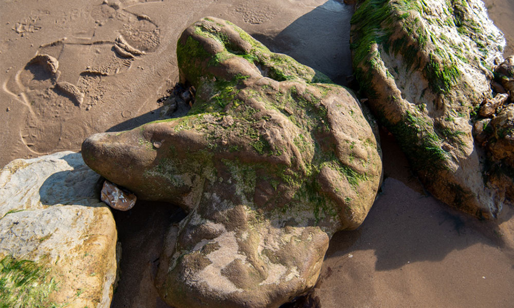
One of the richest places in the UK for dinosaur remains, the Isle of Wight is known as ‘Dinosaur Island’. A favourite place to spot them is along the south coast where large dinosaur foot casts can be seen at Compton Bay between Hannover Point and Fossil Forest. Here these geological wonders make it is easy to imagine dinos thundering through the landscape. For other top spots to go fossil-hunting on the island check out our guide. There are so many more fun things to do on this island as well – spota white-tailed sea eagle; lookfor giant crickets on St Boniface Down; enjoy a swim andcrab pasty at Steephill Cove; watchan Isle of Wight sunset; explore a chine; paddle to see thecaves in Watcombe Bay.

Recommended walking route on the Isle of Wight
Distance: 1.2 miles / 2km
Difficulty: Easy
Start/Finish: Brook Chine National Trust Car Park, Military Rd, Newport PO30 4HA
Brownsea Island, Dorset
Camp amongst the red squirrels
Camping on Brownsea Island allows you plenty of time have
this flourishing wildlife haven with its unspoilt beaches, lagoon, heathland
and woodlands nearly all to yourself. Stay a night under the stars on the spot
where the first Scouts camped over 100 years ago. There’s plenty to do on the
island including spotting the red squirrels, Sika deer and spoonbills;
Brownsea’s coastal walk; and paddle and swim from sandy South Beach.

Recommended walking route on Brownsea Island
Distance: 5.7 miles / 8.8 km
Difficulty: Moderate
Start/parking: Quay visitors car park, Poole BH15 1SB
Thames islands, London
Go with the flow and paddle
Hop on a paddle board and leave from Kew Bridge to explore the waters around ten river islands in the tidal Thames either under your own steam or as part of a trip. Rich in Thames history from royalty to reed collectors, stages for British rock and roll legends and the only view in Britain protected by an Act of Parliament – each island has a rich story to tell. These trips have some great pitstops and historic inns on the way.

Recommended walking route on the Thames islands
Distance: 7.1 miles / 11.5km
Difficulty: Moderate
Start/Finsh: Kew Gardens Station, Station Approach, Richmond TW9 3BZ
Saltwick Bay, Yorkshire
Search for gems
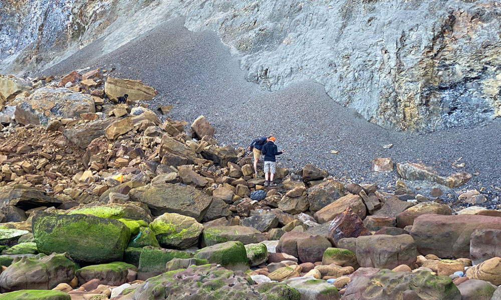
Just a short walk from Dracula’s Whitby, Saltwick Bay has two small tidal islets – Black Nab and Saltwick Nab – at either end of the bay. Here there is the very real chance of finding ammonites, fossilised reptiles, shells and jet – the valuable black gemstone which Whitby is most famous for. Most discoveries are made in the cliff face about a metre above the beach level (note: hammering the bedrock is not permitted). There are historic alum quarries to explore and Saltwick Bay, at certain times of the year, is one of the few places in Britain that you can watch the sun rise and set across the sea from the same spot on the same day.

Recommended walking route near Saltwick Bay, Yorkshire
Distance: 6.9 miles / 11km
Difficulty: Moderate
Start/parking: Marina Front Car Park, Langborne Road, YO22 4AG
Hilbre Island, Wirral
Adventurous tidal walk and picnic
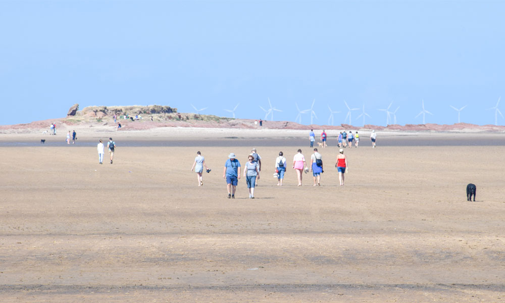
This string of islands in a tiny archipelago in the Dee Estuary has magnificent views of the English and Welsh coastlines; they are accessed by an adventurous tidal walk across the vast sands of Liverpool Bay. Stacked with wildlife with a nursery for terns in the summer and a large seal colony, uninhabited Hilbre Island has a cluster of interesting buildings and some beautiful geological features, including a large cave and red sandstone cliffs that have been dubbed ‘Wirral’s Ayers Rock’. These can all be explored on a
tidal walk possible 2 hours either side of low tide from West Kirby.

Recommended walk on Hilbre Island
Distance: 5.7 miles / 9.3km
Difficulty: Easy
Start/parking: By Marine Lake (one way road) in West Kirby, grid ref SJ212863
Alney Island, Gloucester
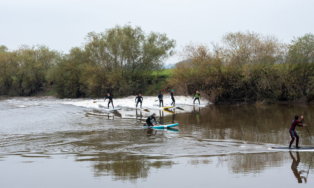
Watch the tidal bore
Located on the banks of the tidal River Severn and less than a kilometre from Gloucester city centre this island is one of the best places to see the spectacular phenomenon of the Severn Bore – one of the best tidal bores in the world – at Lower Parting, especially when the forecast rates the Bore a 3 star or more. The island is mostly a quiet nature reserve of riverside meadows.
At Lower Parting the tidal Severn splits into two channels, and the Bore sweeps up the river to this point. You can hear its roar well before it reaches you. The island is connected to many long-distance paths including the Severn Way, Gloucestershire Way, Three Choirs Way, Glevum Way and Wysis Way with plenty of waymarked cycle paths throughout. Accessed directly from Gloucester Docks, there is also a footpath around the whole island.

Recommended walking route on Alney Island
Distance: 5.6 miles / 9 km
Difficulty: Easy
Start/parking: Gloucester Quays Car Park, Baker St, GL2 5RG
Wales
Isle of Anglesey
Be wild and free on beautiful beaches
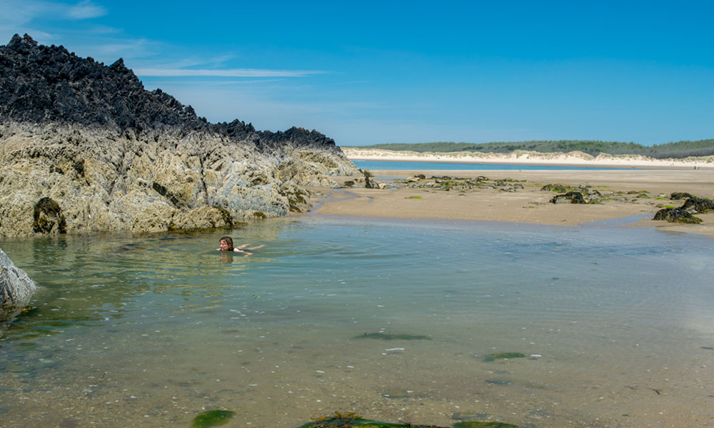
Anglesey is an outdoor adventure playground with spectacular walks including its coast path, wildlife galore and a huge variety of fabulous beaches. From Blue Flag waters and fine golden sands to pine forest-fringed beaches and wild sand dunes there is something for everyone – swimming, building sandcastles, windsurfing, fishing, rock pooling, windsurfing, kitesurfing and surfing. Our favourite hidden beaches include Traeth Lligwy, Traeth Dulas and Traeth yr Ora just north of Moelfre. There’s loads more outdoor adventure on Anglesey – exploringancient tombs and villages; walkingamong the moonscapes of Parys Mountain; exploringthe ruins of Porth Wen brickworks; cyclingto Penmon Priory and Point and more.

Recommended walking route on Anglesey
Distance: 6 miles / 8.2km
Difficulty: Difficult
Start/parking: Moelfre Beach Pay & Display Car Park, LL72 8HL
Holy Isle, Anglesey
Climb a mountain from Breakwater Country Park
Just a few kilometres west of Holyhead’s town centre this hidden gem of a park is set in a dramatic location between Holyhead Mountain and the Irish Sea. It’s an outdoor museum of quarrying and brickmaking that’s stacked with wildlife. It is also the start for several fabulous walks including the walk to the incredible birdlife and cliffs at RSPB’s South Stack via Holyhead Mountain with its incredible views from the summit. The park offers a free orienteering course and has a visitor centre, toilets and café.

Recommended walking route for Holy Isle
Distance: 4.7 miles / 7.7km
Difficulty: Difficult
Start/parking: Breakwater Country Park, Holyhead, LL65 1YG
Ramsey Island, Pembrokeshire
Seal pup city and walk the ‘three peaks challenge’
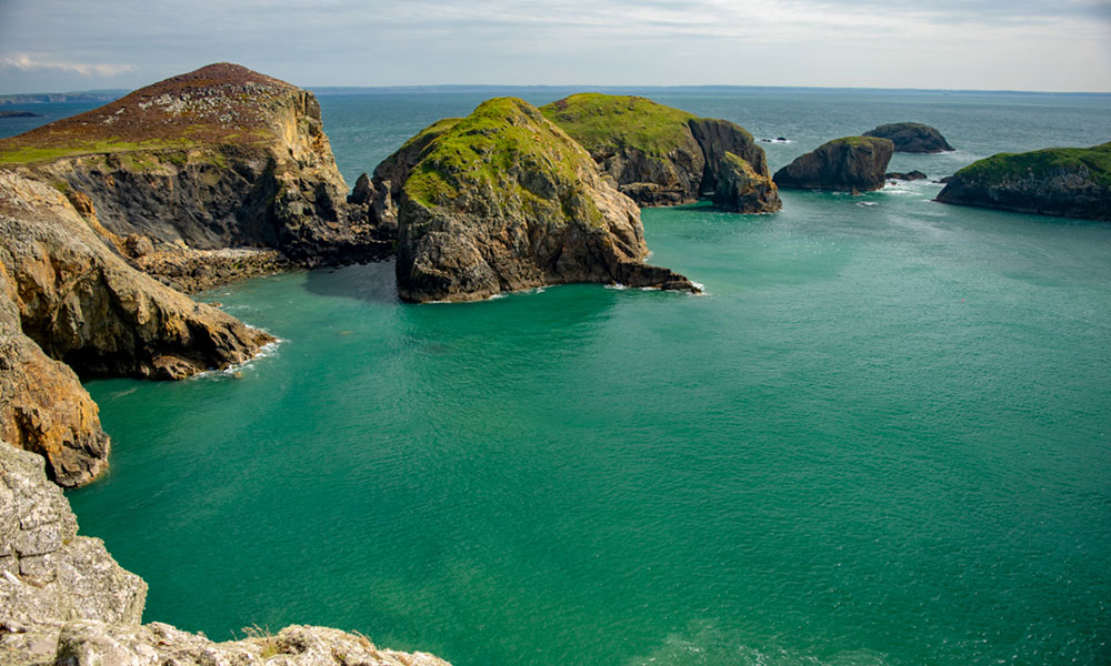
Across the notorious tidal flows of Ramsey Sound this RSPB-owned island that sits off St Davids Head is famed for its wildlife. The prolific seal and birdlife along with the potential of spotting dolphins and porpoise are always a draw but the small population of red deer and five white Welsh mountain ponies that thrive here might be more of a surprise. Walk the island coast path and Ramsey’s three peaks, and spot up to 600 seal pups of the largest breeding colony of Atlantic grey seals in Britain from late August through to November.

Recommended walking route for Ramsey Island
Distance: 4.6 miles / 7.4km
Difficulty: Moderate
Start/parking: Thousand Island Expeditions boats leave from St Justinians Life Boat Station where limited car parking is available
Worm’s Head, Gower
Adventure walk along a dragon’s back
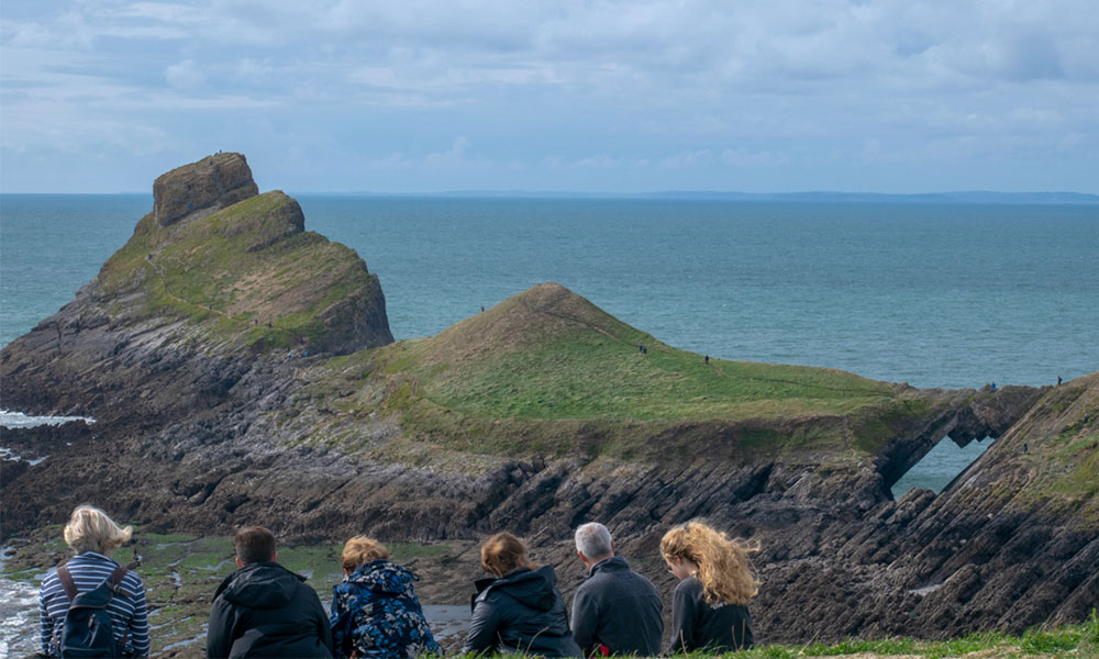
The most westerly point of the Gower Peninsula, Worm’s Head, offers many natural wonders. The island is joined to the mainland by a rocky tidal causeway and is divided into three parts, each accessed by clambering over low-lying rocky sections which makes for quite an adventurous walk and easy scramble. The first section is the steep-sided 30-metre-high, flat-topped Inner Head. Next is Middle Head, which is split in two by Devil’s Bridge, a spectacular natural rock arch. The rocky summit of the spiral-shaped Outer Head, which from a distance looks more to be the preserve of mountaineers, is a steep but easy scramble that makes a spectacular finale.

Recommended walking route on Worm’s Head
Distance: 5.2 miles / 8.4km
Difficulty: Difficult
Start/parking: Rhossili National Trust car park, SA3 1PL, grid ref SA3 IP4
Flat Holm, Cardiff
Visit bunkers, birds and bug-busting hospitals
The exhilarating RIB ride from Cardiff’s Mermaid Quay is a great start to an adventure on this island’s significant nature reserve and once home to Augustinian monks, radio geniuses, Victorian gunners and the diseased. Walk around the whole island to see the highlights including the island’s rare wild leek and thousands of nesting herring gulls. Refreshments in the largest pub garden in Wales – the Gull and Leek.

Recommended walking route for Flat Holm
Distance: 1.1 miles / 1.9km
Difficulty: Easy
Start/parking: Boat trip with Bay Island Voyages departing Mermaid Quay, Cardiff Bay CF10 5BZ
Ynys y Castell, Pembrokeshire
Paddle around an island
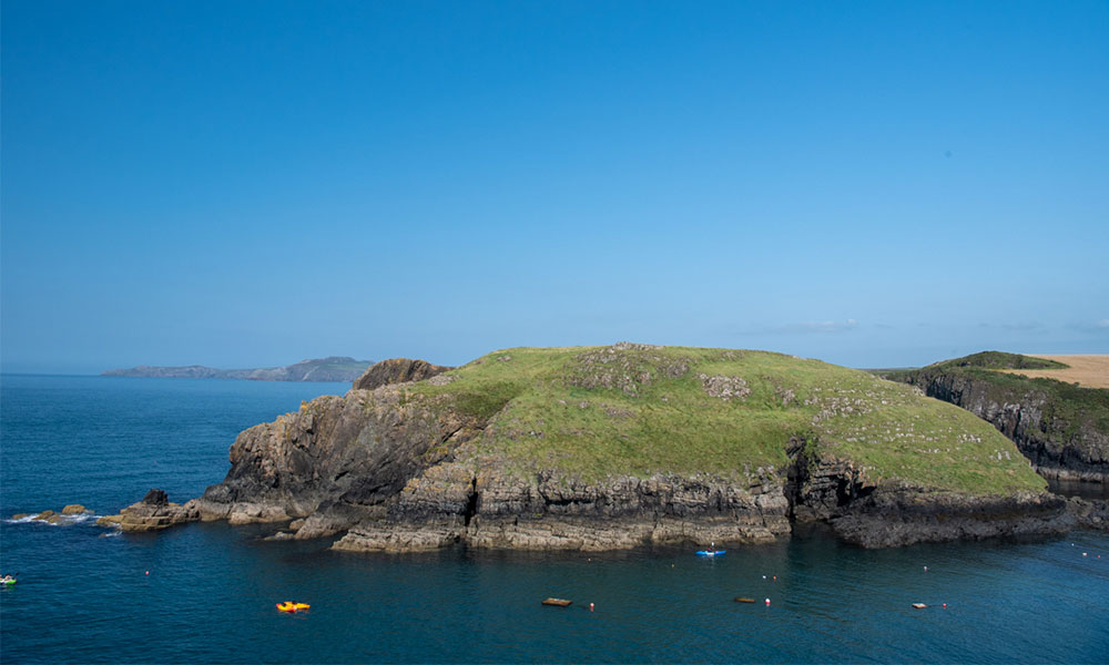
A craggy islet at the mouth of family-friendly Abercastle Bay, Ynys y Castell is a fun island to paddle around or to walk to at low tide along a wide, rocky causeway. It is possible to scramble to the island’s plateau for great views. The indentation in the tussock grass is the “Grave of Sampson’s Finger”. Paddlers can explore more of the coastline, including the island’s cave.

Recommended walking route near Ynys y Castell
Distance: 4.1 miles / 6.7km
Difficulty: Moderate
Start/parking: Porthgain (you’ll then walk towards Ynys y Castell)
Skomer Island, Pembrokeshire
Night time wildlife adventure
Only a kilometre off the coast of Pembrokeshire Skomer is an island of exposed headlands, dramatic sea stacks, and sheltered bays that is famed for its extraordinary wildlife.
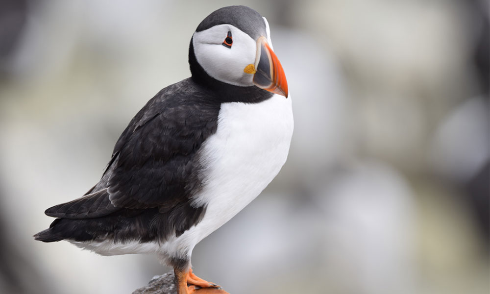
From April to September it is home to half the world’s population of Manx shearwaters and makes an amazing night time experience seeing thousands of them return to the nest after dark. The island is also the seasonal home to the largest colony of Atlantic puffin in southern Britain. Overnight self-catering accommodation is in the island’s Old Farm. More family activities include seashore foraging, experiencing the bird ‘cities’ of The Wick, an Iron Age round house or walking the full coastal circuit.

Recommended walking route around Skomer Island
Distance: 5.5 miles/ 8.9km
Difficulty: Moderate
Start/parking: Martin’s Haven National Trust car park, SA62 3BJ (then catch the boat over)
Scotland
Brough of Birsay, Orkney
Rockpooling and Viking ruins
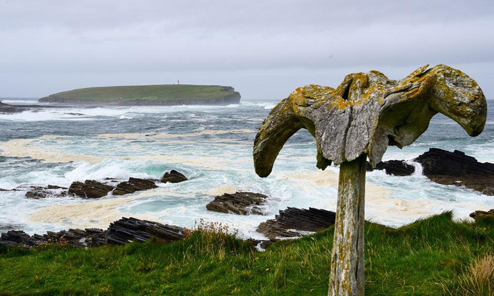
A tidal island with some of the best rock pooling in Orkney, where the elusive Groatie Buckies can be found, along with puffins and the ruins of a Viking settlement. There is a short walk around the dramatic cliffs of the island that can be combined with an excellent walk along the nearby coastline past the Birsay Whalebone, dramatic geos, Norse harbours and turf-roofed fishing huts. The route heads to Birsay village and the 16th century ruins of Earl’s Palace. Don’t miss delicious chocolate brownie stars in the Birsay Honesty Box.

Recommended walking route around the Brough of Birsay
Distance: 3.8 miles/ 6.2km
Difficulty: Moderate
Start/parking: Point of Buckquoy Car Park, KW17 2LX
Isle of Coll, Hebrides
Stargazing and basking sharks
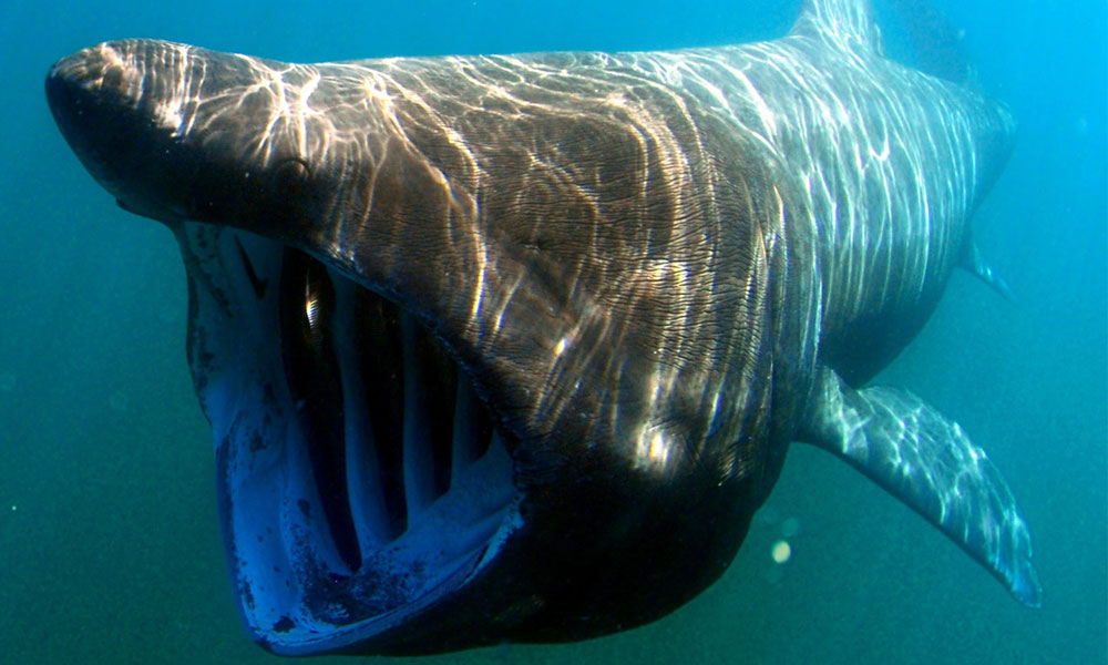
A hidden gem of the Hebrides with high sand dunes and incredible machair that boasts thirty beaches. By day Coll has some of the highest sunshine hours in the UK and by night, as a Dark Sky Reserve, the milky way and other constellations can be easily seen. Each year the Cosmos Planetarium collaborates with Coll Bunkhouse to deliver an amazing stargazing course, Coll and the Cosmos. Coll is also renowned for its wildlife, including as a breeding ground for basking sharks with plenty of whales and dolphins to spot from the shore or with a boat trip from Arinagour. Land based fun is endless with plenty of easy walking and cycling routes plus a range of other activities.

Recommended walk on the Isle of Coll
Distance: 4.8 miles/ 7.7km
Difficulty: Moderate
Start/parking: Crossapol car park, PA78 6TB (short walk onto route)
Isle of Noss, Shetland
Watching the famous diving ‘gannets of Noss’
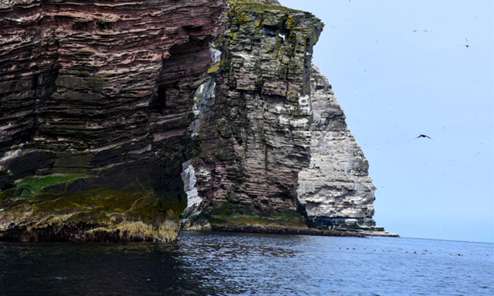
The island of Noss is renowned as one of Europe’s finest wildlife sites and one of the best bird watching sites in Scotland. Its 180 metre high sea cliffs burst into life in summer when tens of thousands of seabirds nest here. This small island has one of the most easily reached seabird colonies and is renowned for its spectacular (and smelly) colony of gannets that can be seen swirling and diving into the surrounding sea. It is also possible to get a thrilling wildlife boat trip from Lerwick to explore the base of cliffs or to walk the island’s coast path (but watch out for the diving bonxies).

Recommended walking route for Isle of Noss
Distance: 5.4 miles/ 8.8km
Difficulty: Moderate
Start/parking: Isle of Noss jetty, ZE1 0LL
Eye Peninsula, Isle of Lewis, Outer Hebrides
Whale watching without a boat
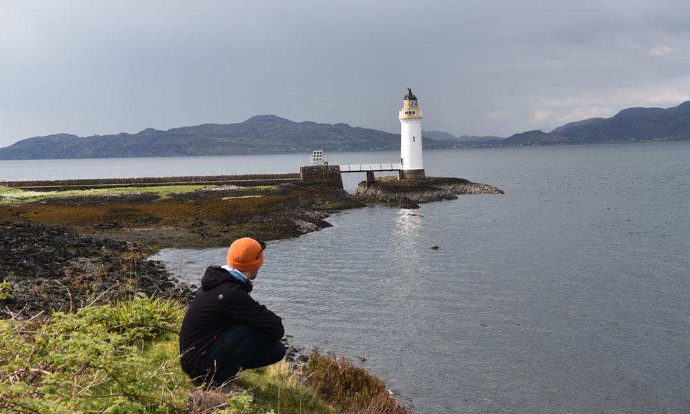
Pick up a pair of binoculars and join on of Whale and Dolphin Conservation’s (WDC) Shorewatch volunteers to scan for whales and dolphins amongst the incredible views across the Minch to the mountains of the mainland. Widely considered one of the best places in the UK for whale-watching from land, and possibly Europe, Tiumpan Head is a must-visit destination for anyone visiting the Isle of Lewis in search of wildlife. There’s a great signed short walk to the lighthouse at Tiumpan Head.
Unst, Shetland
Swim from the most northerly beach in Britain
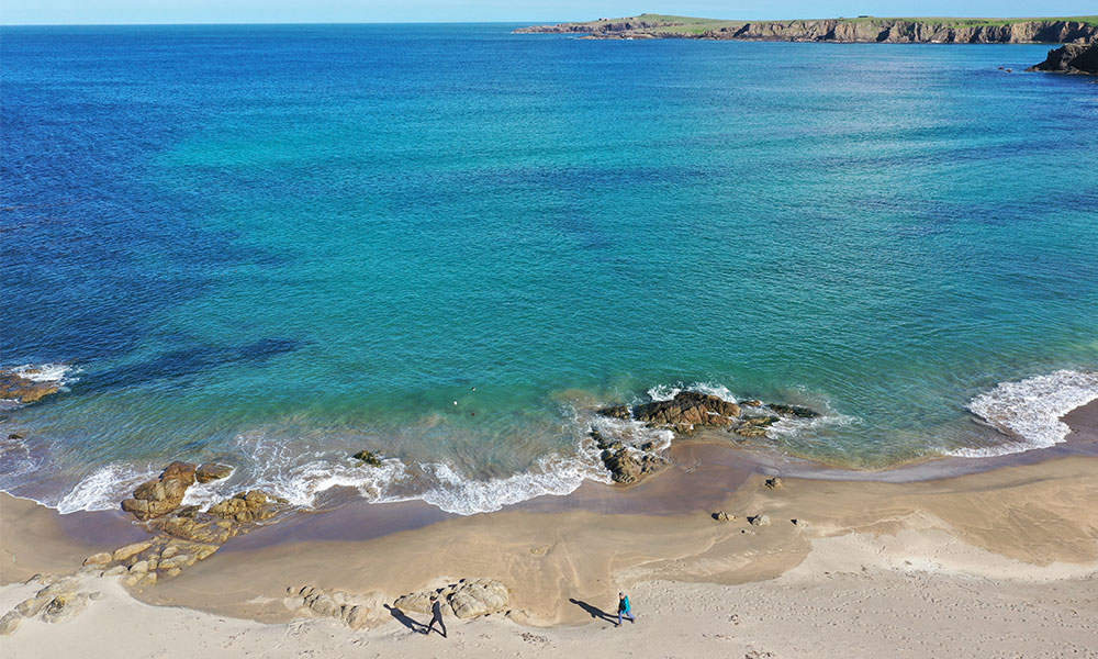
Unst is the most northerly inhabited part of Britain and is an outdoor adventurers island. A top activity is to swim from the most northerly beach in Britain at sandy Wick of Skaw. Just to the west Saxa Vord is to become a rocket launch site, and a little further on Hermaness National Nature Reserve (NNR) is a dramatic cliff-top haven for thousands of seabirds, and the closest puffin encounters you’ll get anywhere in the UK and the end point of a great walk through the reserve. Unst is also home to the most famous bus-stop in Britain.

Recommended walking route on Unst
Distance: 4.8 miles/ 7.7km
Difficulty: Difficult
Start/parking: Hermaness National Nature Reserve car park, ZE2 9EQ
Isle of Mull, Hebrides
Explore “eagle island”
Mull has everything for a family adventure from climbing a munro and fabulous beaches to spotting incredible wildlife including sea eagles and golden eagles. The latter are relatively easy to spot from the road side around Loch na Keal and both can be spotted on board the wildlife boat the Tarus Mara which also heads out to the legendary Fingal’s Cave and the Treshnish Isles. For beautiful beaches visit the tidal island of Erraid which you can walk to from pristine Fidden Beach – its shallow, protected waters are a firm family favourite as is the adjoining campsite.

Recommended walking route on the Isle of Mull
Distance: 7.7 miles/ 12.4km
Difficulty: Moderate
Start/parking: Ben More Car Park, B8035
Raasay, Hebrides
Coasteering on the “Who Dares Wins” island
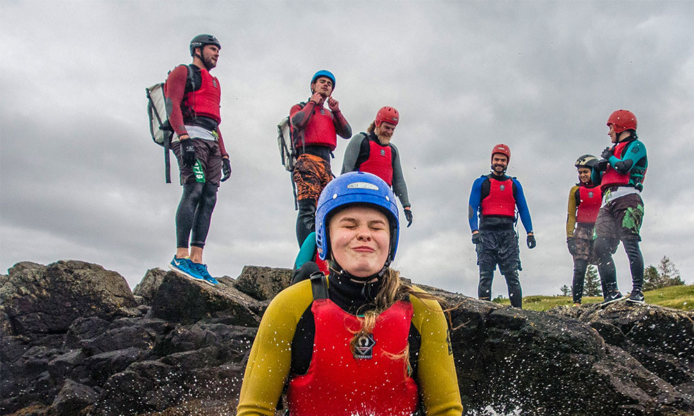
Often overlooked by holidaymakers racing through its larger neighbour, Skye, idyllic Raasay Island is full of adventure. From its huge variety of walks, including the ascent of its characterful highpoint of Dun Caan, to the outdoor activities run by Raasay House – filming location for SAS Who Dares Wins. Its coasteering trips are a great favourite.

Recommended walking route on Raasay Island
Distance: 9.5 miles/ 15.3km
Difficulty: Moderate
Start/parking: Sconser ferry terminal, IV48 8TD and get the ferry over
Holy Isle, Arran
Walk amongst stupas and prayer flags in the Clyde’s own Tibet
With stuppas, prayer flags and monks and the jagged peaks of Arran’s Goatfell as a backdrop, it would be easy to think you are in Tibet. Just a short boat trip from Arran this makes a great day out exploring the Buddhist rock art, sacred caves and finding the islands Eriskay ponies, eider ducks and peregrine falcons. There is a wonderful circular walk around the island, including its highpoint, that takes you past most of its main sights.

Recommended walking route for Holy Isle
Distance: 5.4 miles/ 8.7km
Difficulty: Difficult
Start/parking: Boat trip from Arran on the Holy Isle Ferry, Lamlash, KA27 8JN
Davaar Island
Find the cave with the Crucifixion painting
Just of the Kintyre peninsula near Campbeltown, walk across the shingle causeway to explore the caves of this tidal island’s south coast. One of several caves has a painting of the Crucifixion, originally discovered by fishermen in 1887, who thought it was an act of God, but in fact was painted in secret by a local art teacher and was later evicted from town.
There’s an adventurous walk around the island with views from the precipitous east coast that stretch from Arran to Ailsa Craig with sea eagles, basking sharks and dolphins spotted by the fortunate. Campeltown is a gem and the Mull of Kintyre lies a little further south – both worth spending extra time to explore. The Kintyre peninsula is a great jumping of point for other island adventures with ferries to Colonsay, Islay, Jura Gigha and Arran.

Recommended walking route for Davaar Island
Distance: 4.6 miles/ 7.5km
Difficulty: Moderate
Start/parking: Layby near Doirlinn, GR NR 74535 19447
Easdale Island, Hebrides
Skim a stone where World Champions compete
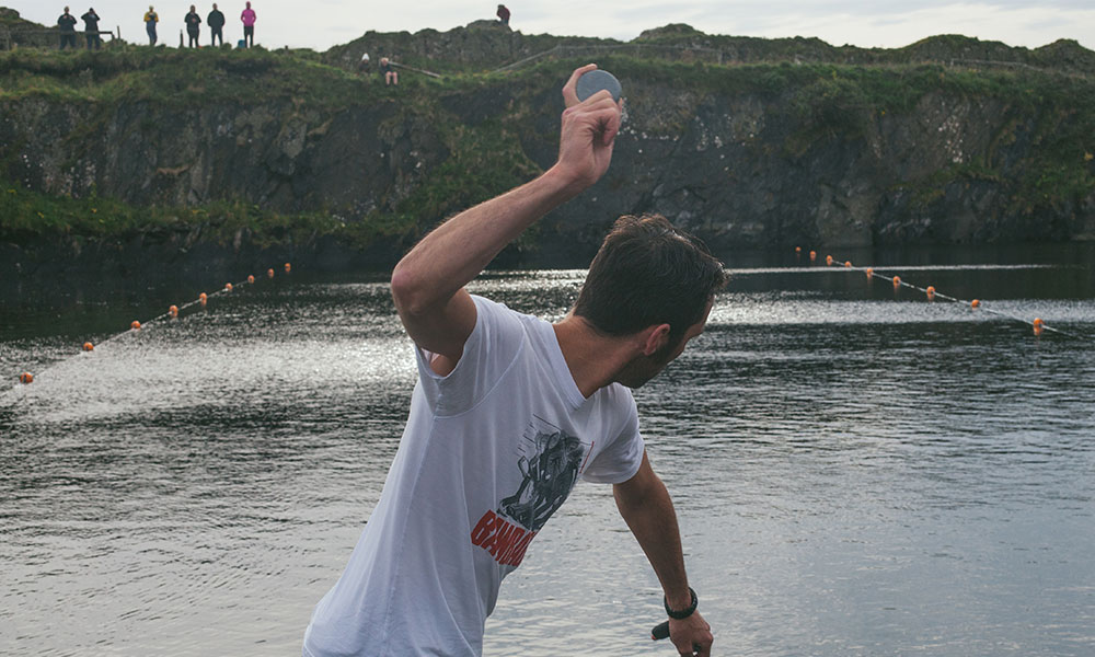
Tiny Easedale Island, with its landscape scooped out by extensive slate quarrying, is host to the annual World Stone Skimming Championships. All you have to do to win is skim an Easedale stone more than two times and achieve the longest distance before it sinks. Attracting people from around the world this eccentric championship is open to all – but equally possible to skim any time of the year.
Are you planning a family trip this summer? If so, consider visiting some of Britain’s beautiful islands for unique family-friendly activities and spectacular walks. When following routes, please remember to take care of the great outdoors and follow the Countryside Code at all times.

