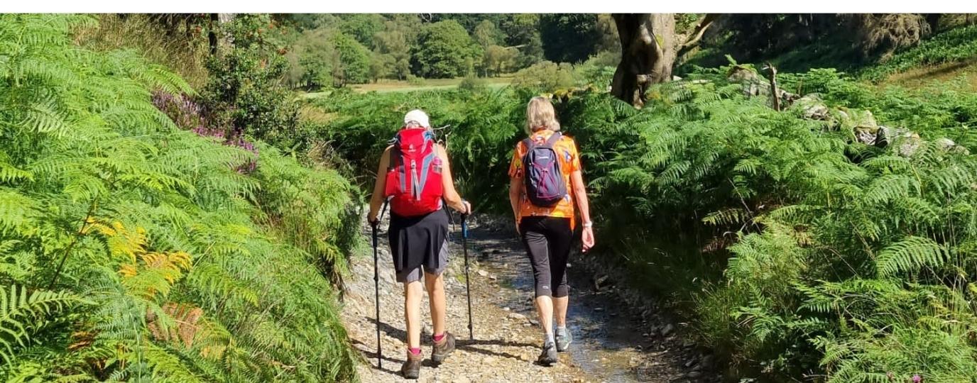
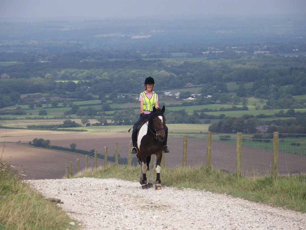
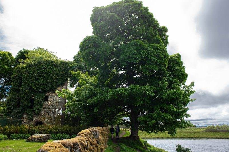
Where are the best bridleways near me?
Whether you’re asking: ‘where are the bridleways near me?’ or planning a hack further afield, the British Horse Society’s riding routes are a fantastic resource exclusive to OS Maps Ordnance Survey’s mapping and route planner for walking, running, riding and paddling, which is available online or as a mobile app.
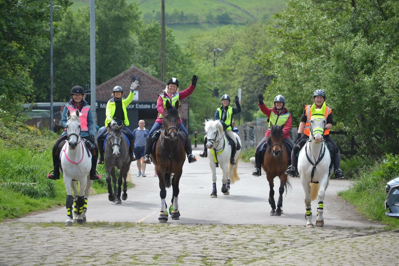
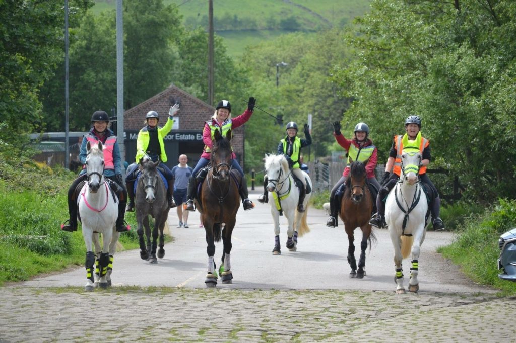
The Best Bridleways App in the UK!
From The Great Dragon Ride in Wales to the Peak District’s Sett Valley, there are over 600 high quality, BHS-authorized horse-riding routes to choose from across England, Wales, Scotland and Northern Ireland.
Filter by type — either circular or Point-to-Point — distance, or difficulty to find the perfect day (or days!) out for you and your four-legged friend. Perhaps an easy 3.15km amble around Fenwick Arms near Lancaster appeals? Or maybe all 121.38kms of the Lindsey Trail just north of Lincoln? You can easily find the best bridleways in the UK with the OS Maps App.
To give a flavour of what’s on offer, here are ten of the very best horse-riding routes in OS Maps, chosen by our friends at the BHS.*
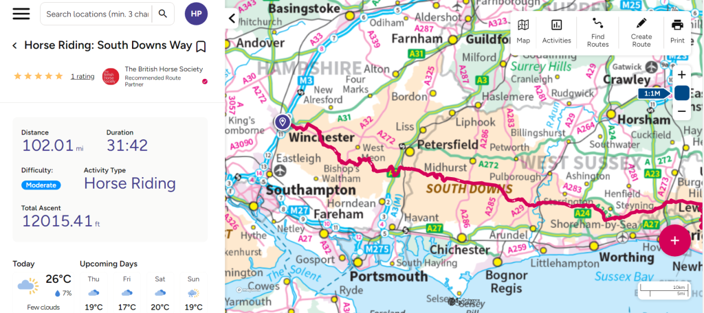
- South Downs Way – National Trail (South region)
The South Downs Way encompasses 160km of beautiful countryside across southern England, including rolling chalk hills and sea views. The route includes several horse car parks for you to ride from, as well as horse-friendly B&Bs.
- Pennine Bridleway – National Trail (East Midlands, Yorkshire and Cumbria)
Spanning a total of 330km, starting in Derbyshire and ending in Cumbria, this national trail is shared by equestrians, cyclists and walkers. Although it is a linear route, it also includes two large loop sections: The Mary Towneley Loop (75km) and The Settle Loop (16km).
- Leith Hill Greenway – Surrey (South East)
A 14.5km multi-user route which links the famous Box Hill with Leith Hill, providing stunning views across the Surrey Hills.
- The Great Dragon Ride – Wales
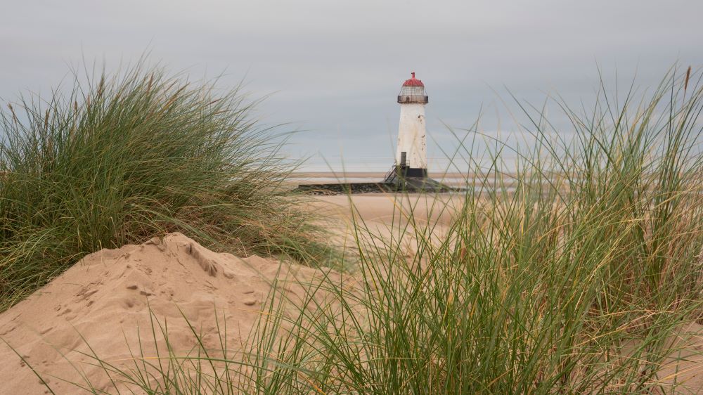
This route spans from Port Talbot on the Welsh south coast to Talacre on the Welsh north coast, incorporating five long distance rides to total approximately over 400km multiuser tracks through the centre of Wales. If you’re looking for a long-distance adventure with your horse or even want to try small parts of the ride, this would be the route for you!
- Epynt Way – Wales
This route includes views of the fantastic Brecon Beacons, traversing across different terrain, providing 65km of off-road riding. Tack up and set off from one of the corrals on the route.
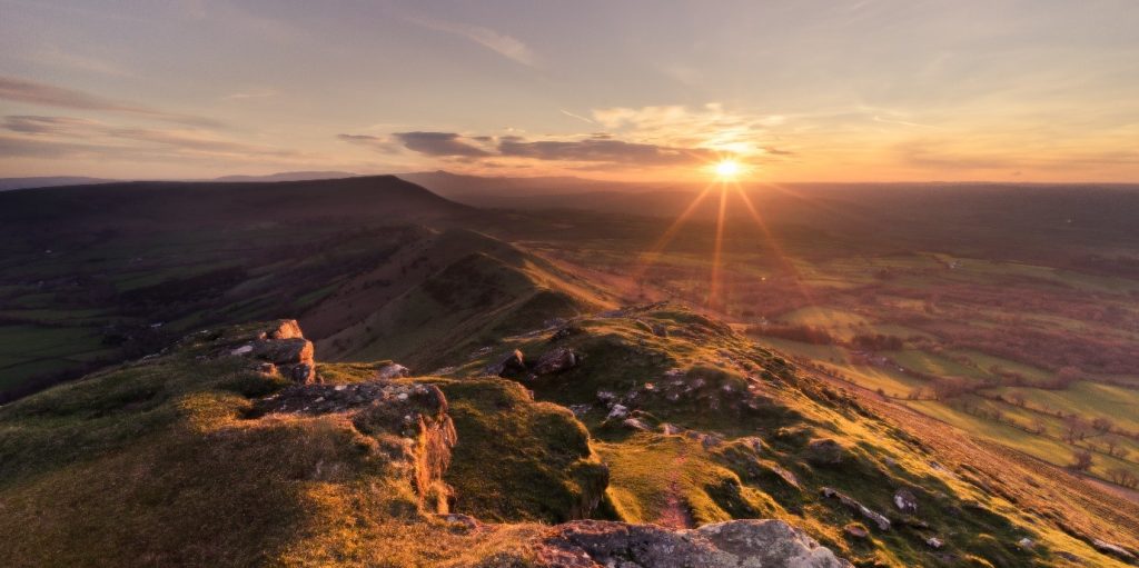
- The Long Mynd – West Midlands
Ride around the famous Long Mynd, taking in the views of the Shropshire Hills. This route is a 16km loop, starting and ending in the village of Picklescott.
- Grey Abbey – Northern Ireland
British Horse Society Members have exclusive access to permits for this ride, which is part of the picturesque Grey Abbey Estate. For more information on using this route and how to gain a permit, please follow the route link and click ‘description’.
- Monsal Trail – Derbyshire
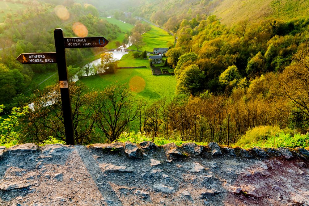
This trail begins in the famous town of Bakewell and is based on the former Manchester to London Midland Railway Line. This multiuser route is linear and covers around 14km, offering views of the limestone dales and the Headstone Viaduct.
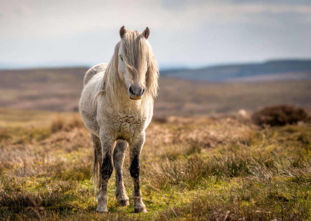
- Cross Borders Drove Road – Scotland
Following in the footsteps of drovers from hundreds of years ago, the challenging Cross Borders Drove Road showcases the varying scenery of Scotland.
- Kings Forest – Norfolk
Kings Forest is a 19km circular route in Thetford Forest, Norfolk. This fantastic route is also open to carriage drivers, with the route consisting mostly of byways.
Now you have a flavour of the BHS-approved routes in OS Maps, head here – 10 Best places to Horse Ride in the UK for in-depth information on how to find and plan more equestrian routes, plus tips for happy, safe horse riding, and here – How to plan a Horse riding Route near You for additional inspiration. Meanwhile happy hacking, and don’t forget to leave a review on OS Maps and share pictures of routes you try, we’d love to hear how you get on!
* Note that although they are recommended, the BHS cannot comment on the condition of the routes at the time they are ridden, and riders should do ‘recces’ before undertaking long distances.