Planning a visit to the North York Moors? Try one of these fantastic walks around the stunning countryside. With various lengths and difficulties, there’s something for everyone.
What kind of walker are you? Sunday stroller, moorland hiker, adventurous family or coastal rambler? Whichever it is, you’ll find a route to suit in the North York Moors, which contains a sensational variety of beautiful countryside all in one area – not just the largest continuous expanse of heather moorland in England, but also rolling farmland, towering crags, lush valleys, verdant woods, winding lanes, rocky bays and quiet beaches.
For those new to the National Park, here are half a dozen classic routes – walk all these and you’ll have seen some of the finest scenery in the North York Moors.
White Horse Walk (3 miles)

Aerial view of White Horse – Image Allan Harris /NYMNPA
The don’t-miss walk from Sutton Bank National Park Centre takes you to the famous turf-cut hillside landmark, the White Horse of Kilburn, laid out by a village schoolmaster and his pupils in 1857. The route follows the dramatic escarpment edge for magnificent views (‘finest in England’ according to local vet and author James Herriot), then drops down on woodland paths beneath the cliffs before climbing back up beside the horse itself. If you’re lucky, you’ll coincide with gliders taking off and landing at the escarpment Yorkshire Gliding Club, which once counted famous aviator Amy Johnson as a member.
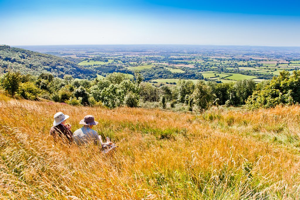
‘Finest view in England’ at Sutton Bank – Image: Chris J Parker / NYMNPA
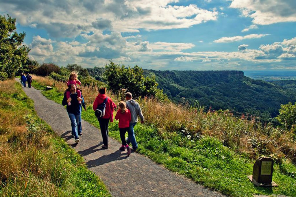
Walking trails at Sutton Bank – Image: Chris J Parker / NYMNPA
Cloughton and Hayburn Wyke (5 miles)

Hayburn Wyke – Image: Rob Dingle / NYMNPA
Follow the clifftop Cleveland Way National Trail to discover one of the true gems of the North York Moors’ coast – the wooded valley of Hayburn Wyke, which reaches down to a magnificent rocky cove complete with tumbling waterfall and giant boulders. Spend an hour or two beach-combing and rock-hopping, and call in at the local pub, the Hayburn Wyke Inn, before making an easy return along the track-bed of the old Scarborough to Whitby railway line. The old Cloughton railway station is now a delightful café and tea garden, just right for a celebratory cake and lemonade.
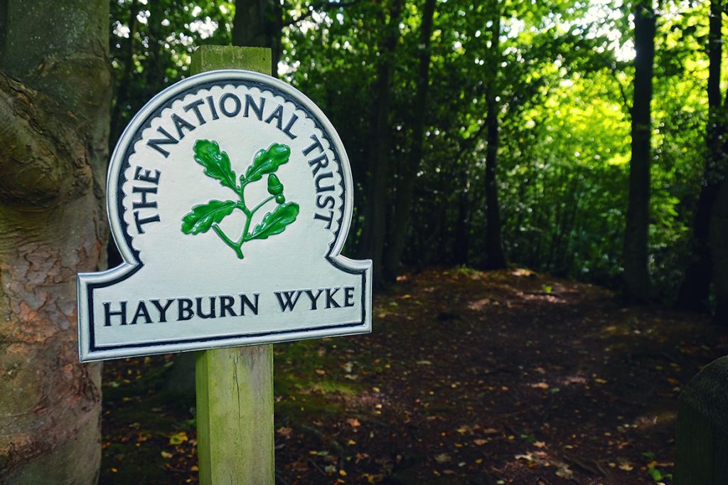
Hayburn Wyke Walk – Image: Tony Bartholomew / NYMNPA
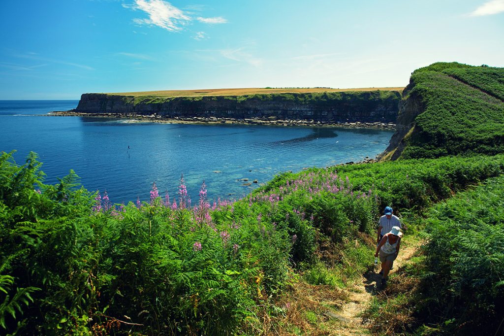
Walkers on trail at Cloughton Wyke – Image: Mike Kipling / NYMNPA
Helmsley to Rievaulx Abbey (7 miles)

Helmsley Caste – Image: Visit Helmsley / NYMNPA
The gentle country walk from the market town of Helmsley (market day is Friday) to the tranquil ruins of Rievaulx Abbey never fails to delight and inspire. There are sweeping views of town and castle at the start, before you drop down through charming bluebell woods to reach the peaceful village and tranquil ruins of Rievaulx Abbey. It’s a serene site, located deep in a wooded valley, nestled in the curve of the tranquil River Rye – perfect for a picnic on a summer’s day, bought from the delis and bakeries in Helmsley.
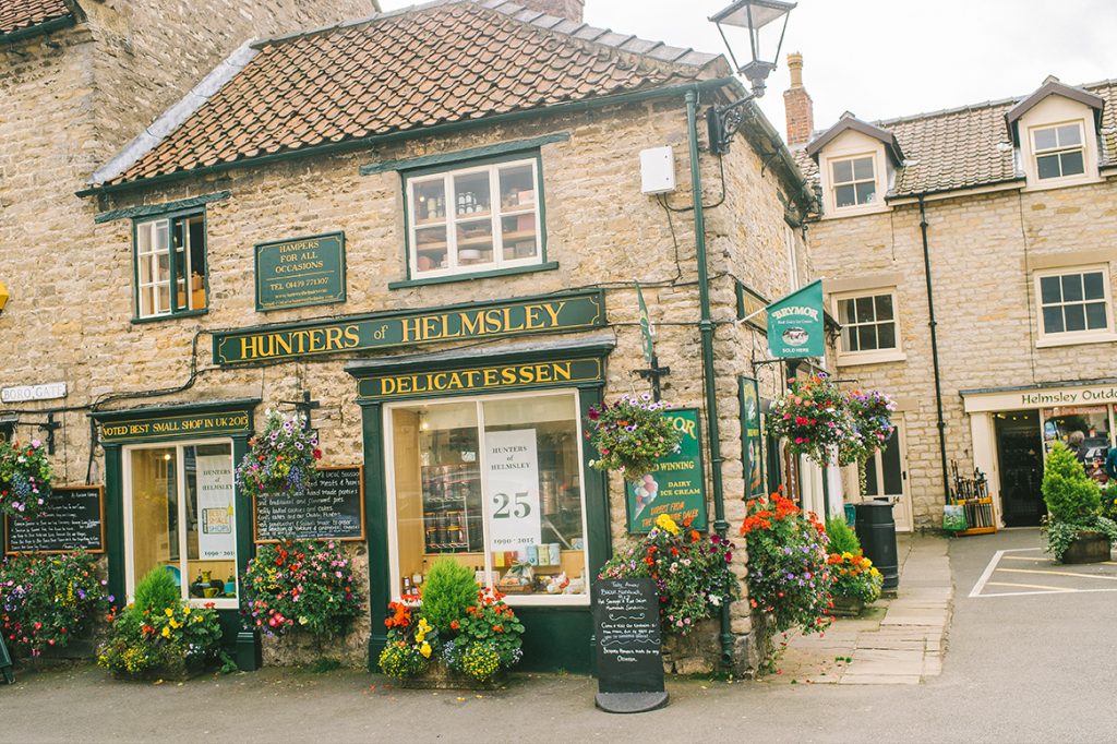
Hunters of Helmsley – Image: Visit Helmsley / NYMNPA
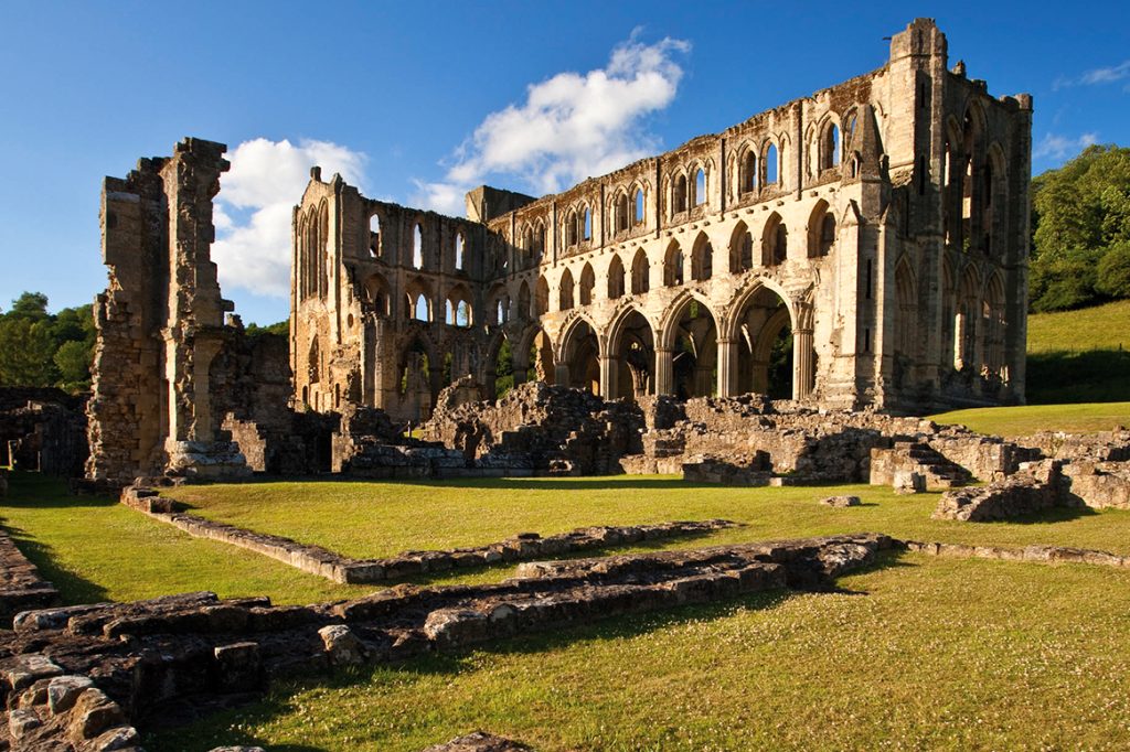
Rievaulx Abbey – Image: Mike Kipling / NYMNPA
Levisham Moor and the Hole of Horcum (5 miles)

Hole of Horcum – Image: Mike Kipling / NYMNPA
Be prepared for grand landscapes and big views. Starting with the dramatic panorama from the National Park car park at Saltergate over the Hole of Horcum – a huge natural amphitheatre – the scenic walk crosses the heather swathes of Levisham Moor, which flash purple in late summer. There’s a diversion to the stunning viewpoint of Skelton Tower (watch out for steam trains in the gorge below),after which the route drops into the rocky ravine of Dundale Griff and returns along the valley back to the Hole of Horcum.
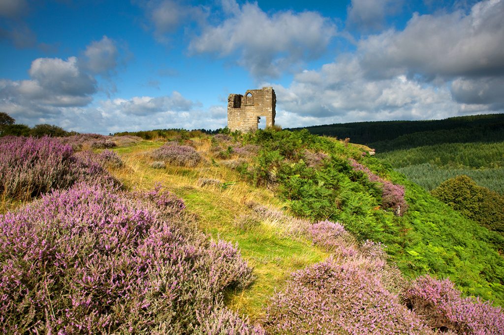
Skelton Tower – Image: Mike Kipling / NYMNPA
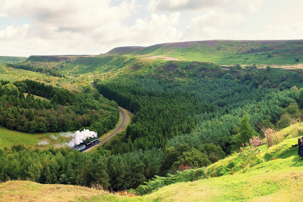
NYMR at Newtondale – Image: Mike Kipling/ NYMNPA
Roseberry Topping & Cook’s Monument (7 miles)

Roseberry Topping and the Bluebells – Image: Colin Carter / NYMNPA
Tackle an ascent of the ‘Yorkshire Matterhorn’, and encounter a reminder or two of the great explorer Captain Cook, on a fabulous circular walk through dappled woodland and across heather moorland.
Roseberry Topping acquired its distinctive shape after a landslip, and you’ll also pass another iconic North York Moors landmark en route – Cook’s Monument, dedicated to Captain James Cook, who hailed from these parts.
Fingers crossed for a clear day, because the views are magnificent all the way around.
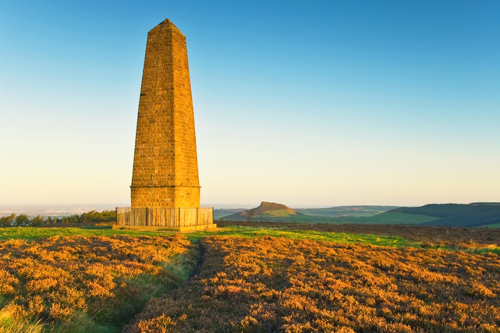
Captain Cook’s monument – Image: Mike Nicholas / NYMNPA
Wainstones Walk (8 miles)

Bilsdale from Wainstones Image: Mike Kipling / NYMNPA
One of the toughest moorland walks crosses the western moors of the National Park to reach the dramatic rock crags known as the Wainstones, proving ground of local climbers and boulderers. It’s a challenging day out for walkers, but you get to sample one of the most thrilling sections of the Cleveland Way National Trail and skirt Urra Moor on your return (the latter being the highest point in the North York Moors, at 454m). Reward yourself with a drink at the end of the walk at the Buck Inn, near Chop Gate car park.
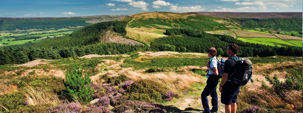
Walkers on Cleveland Way Image: Mike Kipling / NYMNPA
For more ideas and downloadable versions of these walks, go to www.northyorkmoors.org.uk/walking or if you have your own favourites then tell us in the comments.


