The Swale Trail is just one example of the many fabulous bridleways that span throughout Wensleydale, Swaledale and beyond making The Yorkshire Dales National Park a great place to visit for an active family holiday.
We were proud to have been invited by the Yorkshire Dales National Park Authority to the launch of their newly resurfaced and signposted existing bridleway the Swaletrail. It was a great opportunity to allow the children and young people to visit a different area on their doorstep. They also had the great opportunity to ride with children from different schools and clubs.
This trip was kindly supported via the Roger Stott Community Fund, managed by the Yorkshire Dales Millennium trust.
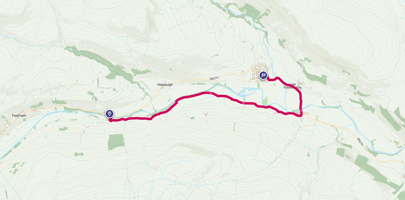
On this occasion we followed a short section of the trail from Low Whita to Grinton returning by the same route. We parked in a clear lay-by. However there is no official car park at this starting point.
Start SE 005 984
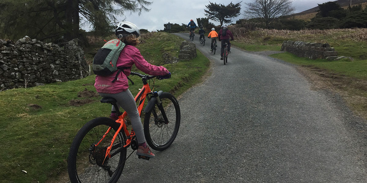
We followed a tarmac road to the start of the off road section.
This route does climb quickly which could present a challenge to some and is used by traffic however it is under a mile in duration.
We then turned off on to a grassy section which descending quickly to the River Swale.
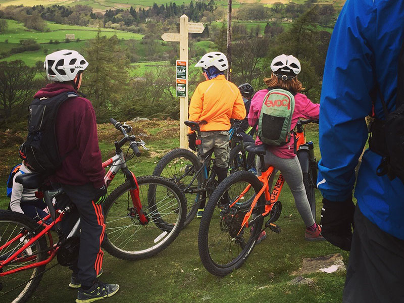
Waypoint SE 020 987
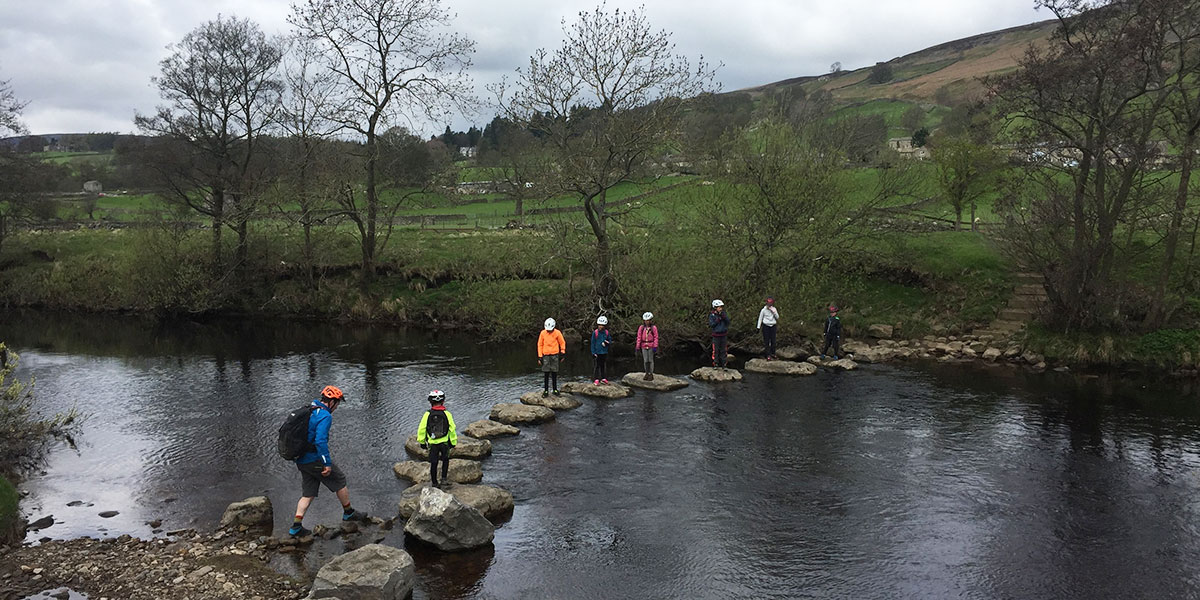
We stopped here to test our balance on the lovely old stepping stones. During this section of the ride following the river it is recommended to keep less experience rides away from the edge to avoid wobbles towards the river.
After following a gravelled track you reach and turn off onto a flood plain, cycling past the River Swale suspension footbridge . This section can be very boggy during the winter or after persistent heavy rain. However the kids enjoyed the mud!
The route then changes to follow a gated walled route down into Grinton. This is a narrow path and is in use from both directions so safe shared route etiquette is the order of the day.
We do not recommend the use of bike trailers or tag alongs on this section due to the narrow nature of the route. At the end of this lane indicated by a finger post you rejoin a country road which is used by traffic. It was here that the group took part in the official ribbon cutting ceremony.
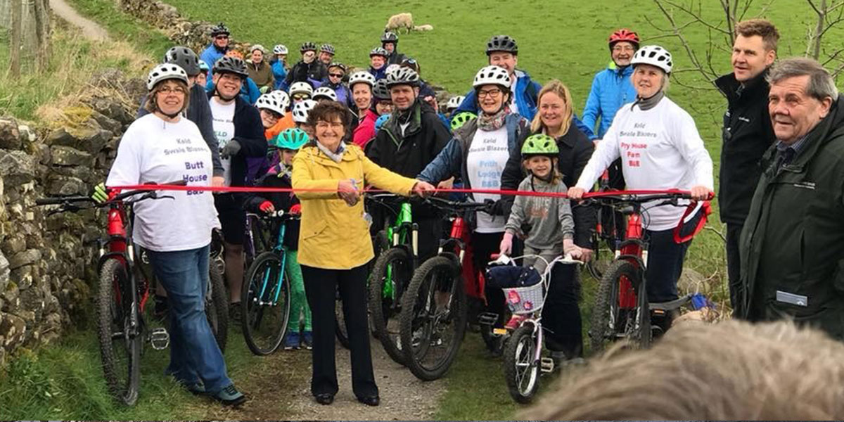
Public duties over we turned left and travelled into the hamlet of Grinton this does have a pub for refreshments or you can continue to travel the short distance along the main road to the village of Reeth.
Please note this is a busy main road care should be taken with younger riders.
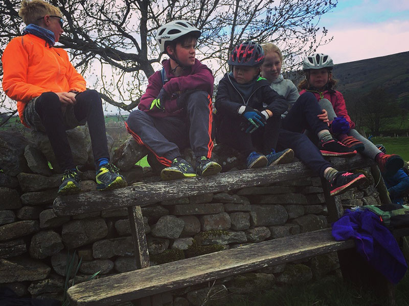
Reeth is well worth a visit, a pretty little village which has ample hospitality facilities and public toilets.
There is a fabulous traditional country show staged in Reeth in August making it a great destination for families during the summer holidays. Here the Wensleydale Bike Club kids were treated to a well earned hot chocolate and cream scone.
We then returned back to the van along the same route in reverse.
If you are hoping to get your family out and about on bikes on traffic free routes it is advisable to seek local advice. We recommend popping into your local bike shop they will be only to happy to chat and discuss your particular families cycling capabilities. Remember what is one family challenge is another families disaster!! Keep your expectations realistic and you will have great fun.
6.5 km Start SE 005 984
6.5 km / 4 miles
Our personal recommendations for family accessible routes include the Askrigg to Castle Bolton bridleway route or for beginners a lovely ride through the Bolton Estate Wensley to Redmire.
This 2nd route is suitable for offroad buggies, bike trailers and tagalongs. There is also a great gravel track under the Ribblehead Viaduct leading to an accessible bridle way which is perfect for exploring the famous Yorkshire three peaks area.
For more details on routes or advise on cycling with children please contact Helen Pollard
