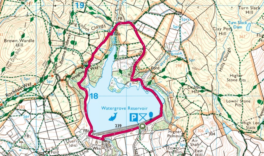
The reason I love this walk for my dog, Dexter, is because it has a bit of everything to enjoy, such as a beautiful scenic reservoir, woodlands and bridges, rivers, a variety of plants and trees, a bird hide, moorlands, and a great car park.

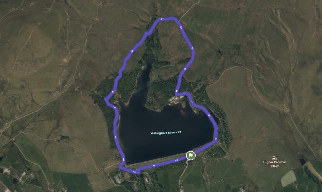
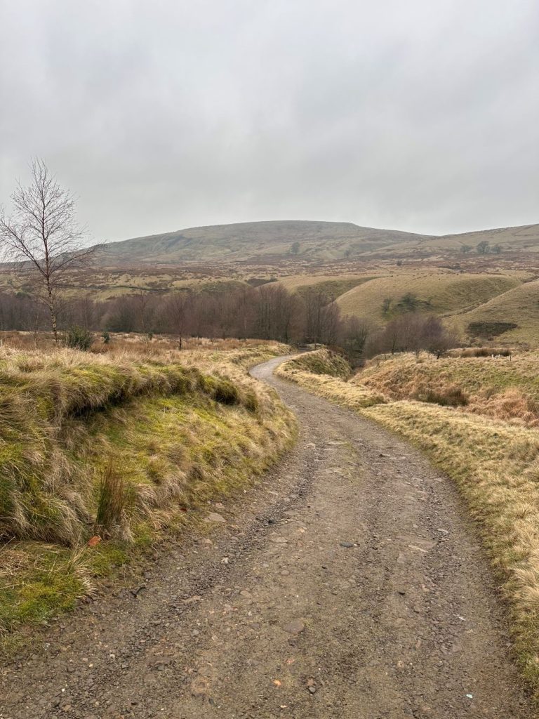
I prefer to do a circular route rather than a there and back, and this route can vary if you choose the shorter path, from 1:08 to 45 minutes. You could also extend the walk to enjoy hours of moorlands and the paths are all sign posted, with all of the footpaths on the OS maps app.
There are usually sheep grazing on the top of the cobbled road midway through the walk, so be sure to keep your dog on a lead. The views at this section open up into the most stunning panoramic vista, what’s not to love?
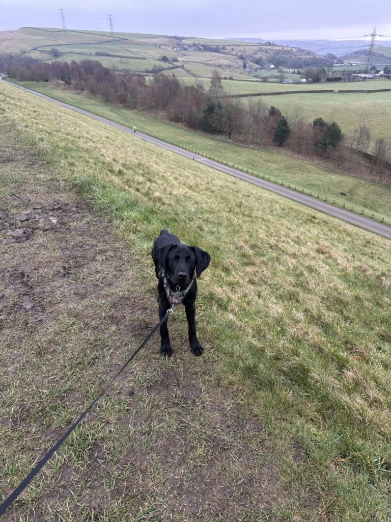
My children also enjoy this route and it is definitely my go to when I’d like to immerse myself and dexter on an interesting, stimulating dog walk.
Watergrove Reservoir: Frequently Asked Questions
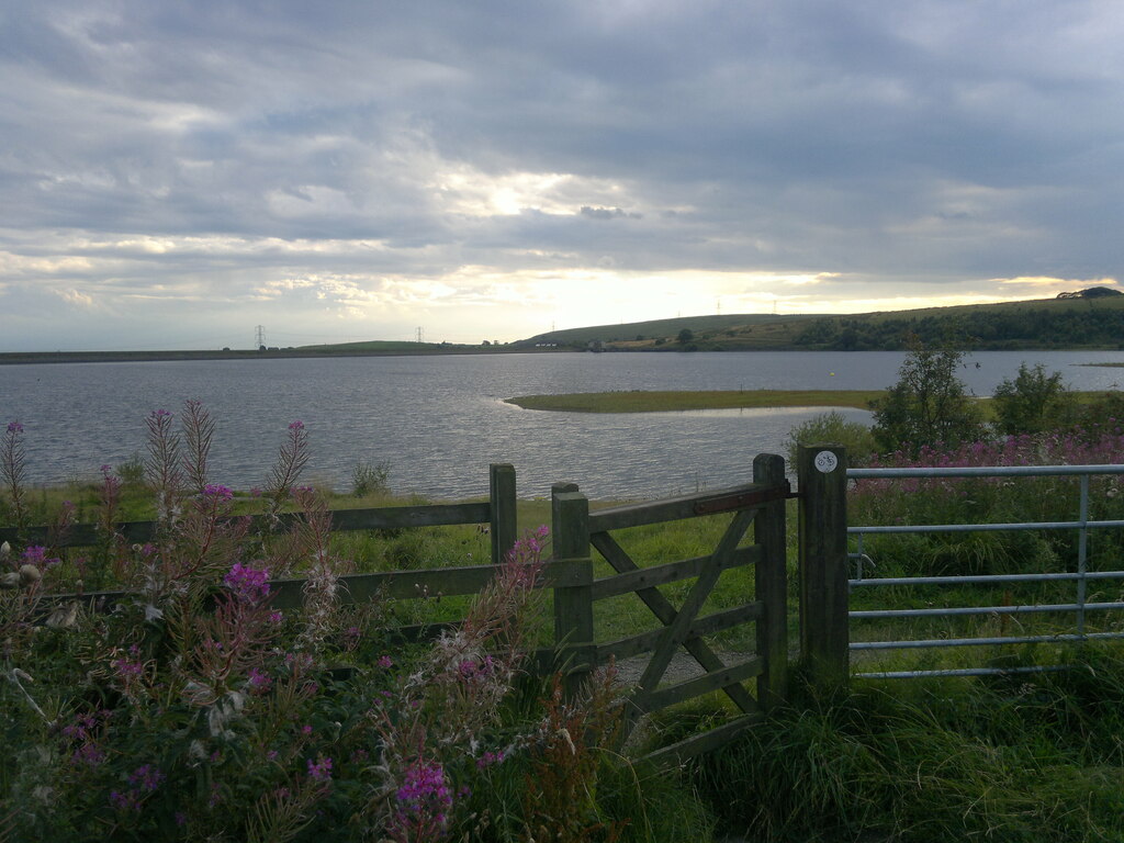
Watergrove Reservoir sits near the village of Wardle in the Borough of Rochdale, Greater Manchester.
Construction took place throughout the 1930s, and the reservoir officially opened on 6 April 1938.
It was built to secure Rochdale’s drinking‑water supply after extended droughts in the 1930s and to provide much‑needed employment during a difficult period for local communities.
The Victorian village of Watergrove, home to roughly 300 residents, was demolished and submerged to make way for the reservoir. Around 30 surrounding farms were also cleared. The community once included Watergrove Mill, a Methodist church and a public house known as The Orchard.
During periods of extreme drought, old roads, building foundations and parts of the mill occasionally reappear around the reservoir edges.
Watergrove Reservoir Car Park (Ramsden Road)
Park in the free car park at the southern end of Watergrove Reservoir, located on Ramsden Road, Wardle (postcode: OL12 9LB).

By Nazmine Maguire
Meet Nazmine Maguire, an outdoor activity instructor with a passion for maps (and altitude!) Find out all about her on her OS Champions Profile Page

