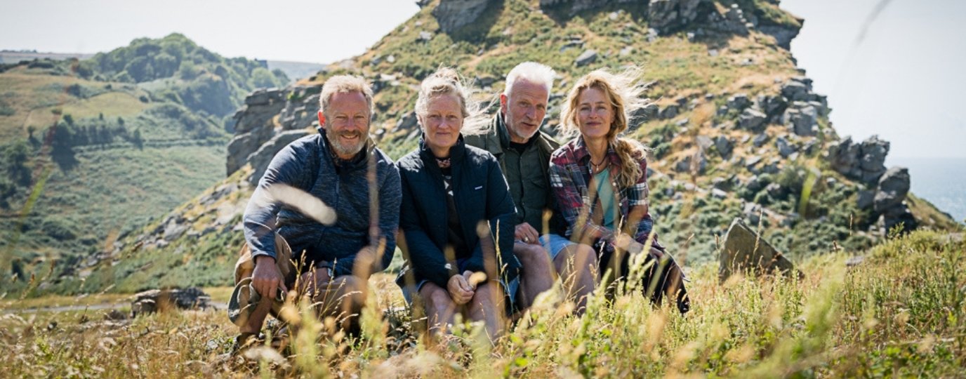
Inspired by the heart-warming tale of love and resilience in “The Salt Path“, we invited our OS Champions to reveal special routes that are filled with meaning for them. In this post we hear from hiker Lisa Drewe about her connection to Vatersay, which is the southernmost and westernmost inhabited island in the Outer Hebrides of Scotland.
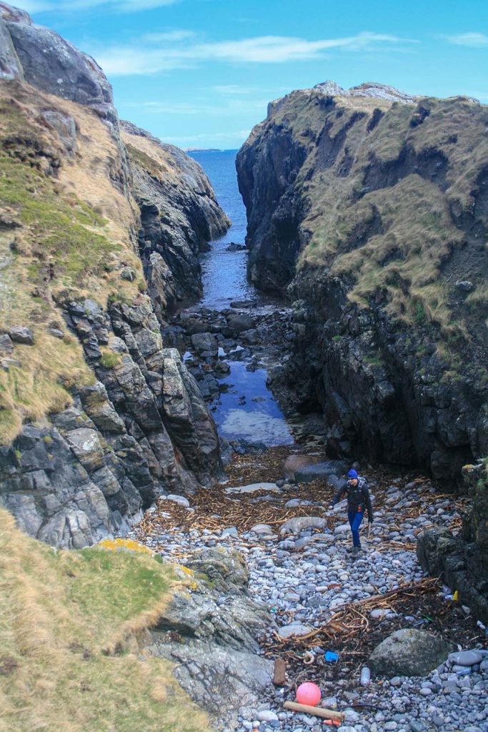
The circular coastal walk around Vatersay remains one of the most special adventures I’ve undertaken not because it was written up in any guide, but because it wasn’t. I traced the route myself, using only an OS map, curiosity, and the confidence granted by Scotland’s right to roam. That simple act of choosing to make a path rather than follow one opened up the boundless possibility of Scottish island adventure for me.

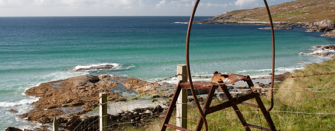
The walk delivered far more than I expected. Along Vatersay Sound, I watched otters slip silently between rocks, the kind of moment you hold your breath to witness. I swam alone in the glassy turquoise waters of Bagh a Deas, a beach so beautiful and empty it gifted such an intense sense of freedom. The coastline was deeply indented, requiring careful navigation across tidal inlets and rocky outcrops, which only added to the feeling of real exploration.
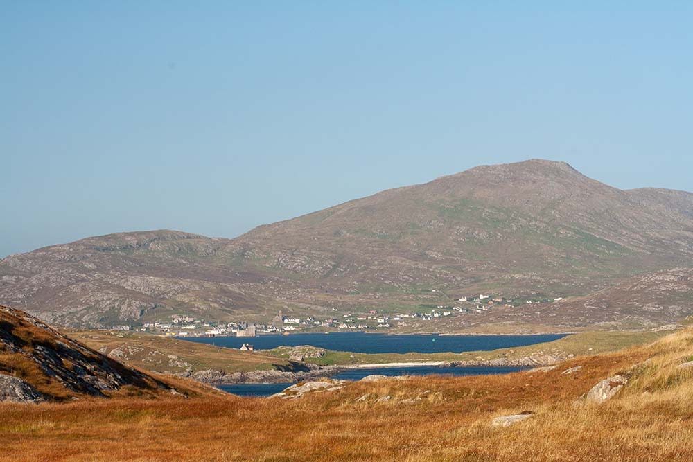
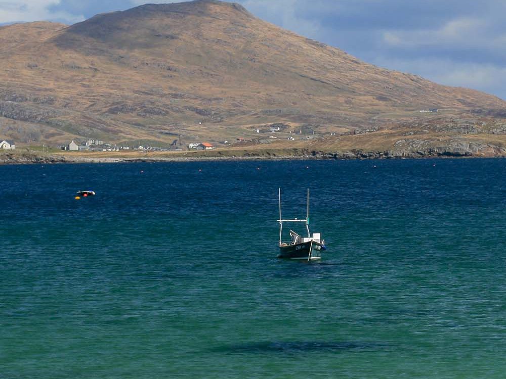
Reaching the most westerly inhabited point in Britain, I stood in total solitude, the Atlantic crashing below. And later, back on Barra, I celebrated with hand-dived scallop pakoras from Cafe Kisimul, a place that people travel from far and wide to taste the food here.
That walk wasn’t just a route it was a turning point. It showed me a new kind of freedom, and the wild magic of the Scottish islands revealed by the OS map.
This route is ideal for the confident navigator who is looking for a it more than the usual coastal path.

EXPLORE THE
OS Shop
We are with you every step of the way. Shop our trusted walking and hiking maps and guidebooks so you can explore the outdoors with confidence.
Go to the shop