Great running on the three Edges, over boulders with views that make the climbs worth the effort!
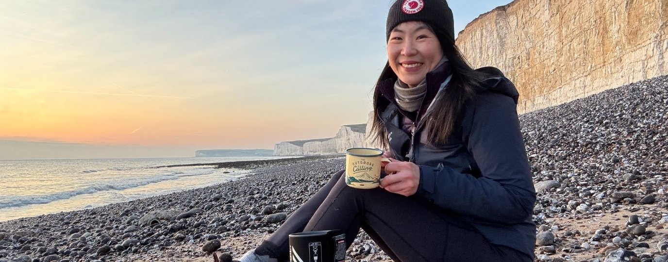
The ordnance survey app has not only hiking routes but also running, biking, horse riding and paddle sports. Running is a big part of me, being outdoors, being active and time to switch off and enjoy everything around me. I love running round this area, there are loads of great trails, bit of uphill and great views from the runs along the tops. And when you’ve finished your run what could be better than coffee, and cake!
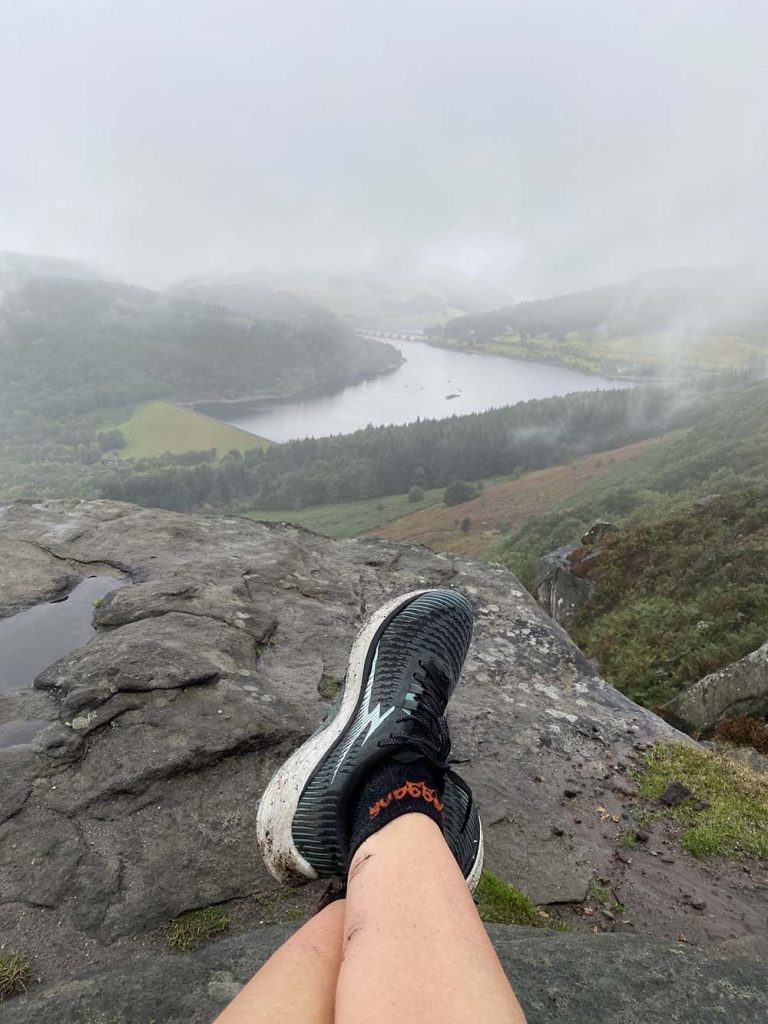
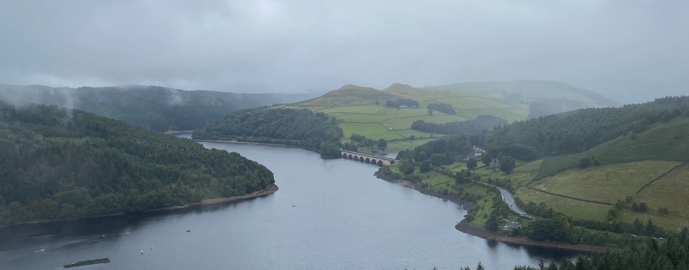
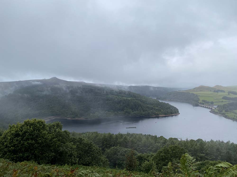
Head up through the atmospheric moss covered trees onto Bamford edge and enjoy fabulous views down to Ladybower, watch out for the protruding rock for photo ops! Continue along to the road, cross the road and up to a cross paths, one of my favourite view points in The Peak District.
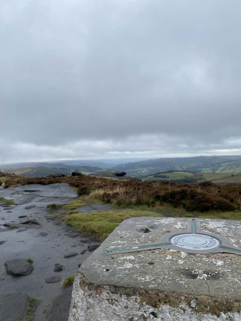
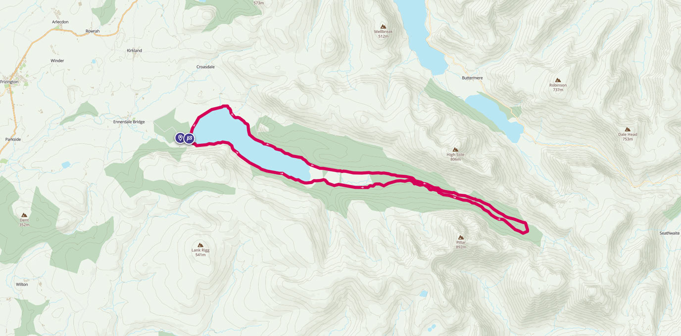
Head up towards Derwent Edge and enjoy a run along the tops, some on the stone pavement. Climb up to Back Tor Trig for a photo op before taking the trail down to the road at Strines. Head Southwards, crossing Manchester Road and up onto Stanage edge.
Great run along the top amongst the rocks, what all the training is for, getting to run places like this! Take the Long Causeway track downhill until it joins the road. Follow the road downhill until the path off to the right that takes you up onto Bamford Edge. Enjoy the views to Win Hill to the left and Ladybower to the front before heading back down through the trees to the car park.
This route guide is part of the Taylor’s of Harrogate Coffee Bag Adventures Collection and was created by OS Champion Emma Harrison

EXPLORE THE
OS Shop
We are with you every step of the way. Shop our trusted walking and hiking maps and guidebooks so you can explore the outdoors with confidence.
Go to the shop