A route where history, human engineering and nature collide in the most epic fashion. You won’t find a more beautiful challenge route in the Peak District National Park.
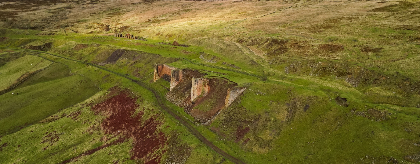
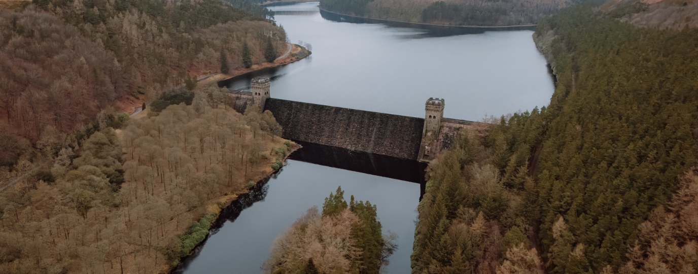
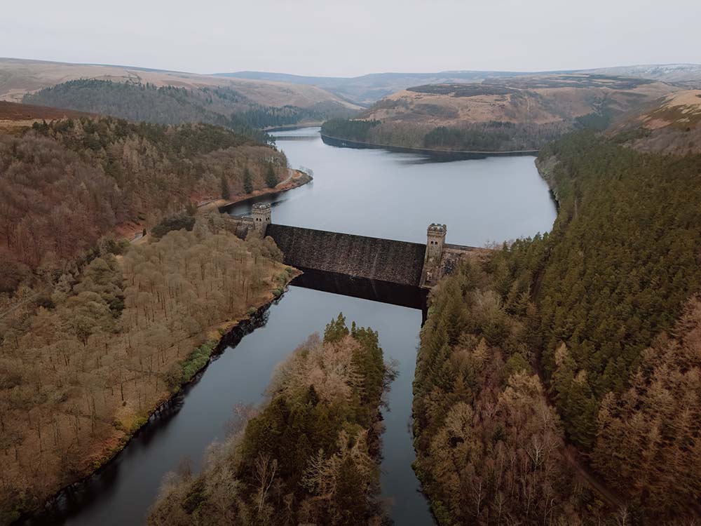
The Dambusters Challenge Hike in the Peak District National Park is a challenging long-distance, high-level hike of around 20 miles (it can be longer if you add detours to explore certain highlights on route like The Tower at Alport Castles). The Upper Derwent Valley was made famous during World War Two as the Royal Air Force No. 617 Squadron (The Dambusters) did training runs around Howden, Derwent and Ladybower reservoirs.
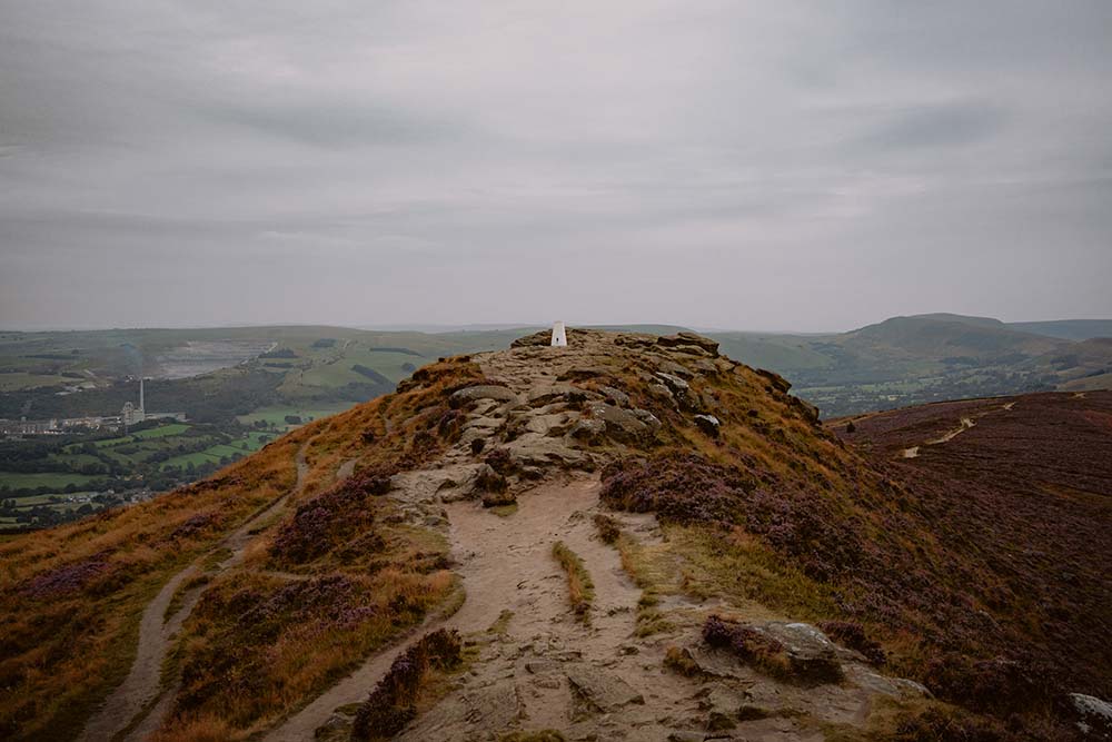
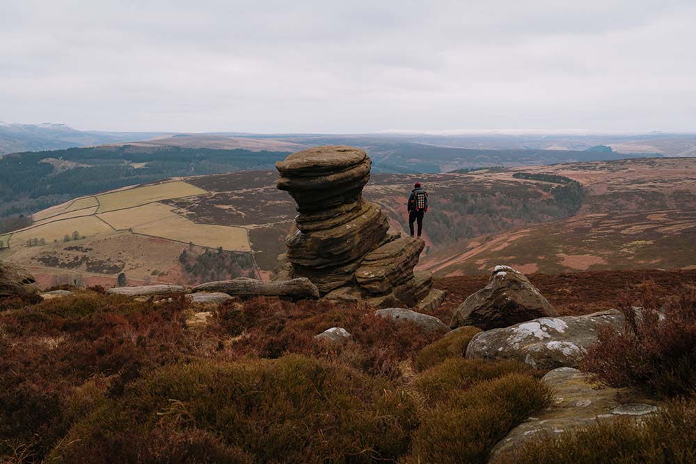
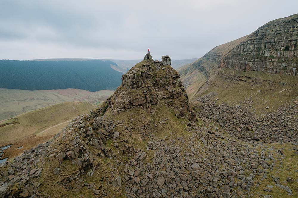
This hike takes in some amazing scenery and summits surrounding these reservoirs. Starting from the car park or laybys at Ladybower Reservoir, you get to bag 3 ethels en route (Win Hill, Lost Lad & Back Tor – Derwent Edge) as well as passing the fabled landslip feature of Alport Castles and the many gritstone formations that are upon Derwent Edge.
This route is best done on a long summer’s day so you can make the most of the light and enjoy this awesome challenge in one of the finest parts of the National Park.
If the route becomes too much, there are many options to cut down into the valley and seek help or rest to find a way back to your start point. On a weekday, you could also start this route from the King’s Tree at the end of the road alongside Howden Reservoir.
This route guide is part of the Taylor’s of Harrogate Coffee Bag Adventures Collection and was created by OS Champion Brendan Clayton

EXPLORE THE
OS Shop
We are with you every step of the way. Shop our trusted walking and hiking maps and guidebooks so you can explore the outdoors with confidence.
Go to the shop