The Cheshire Matterhorn Circular
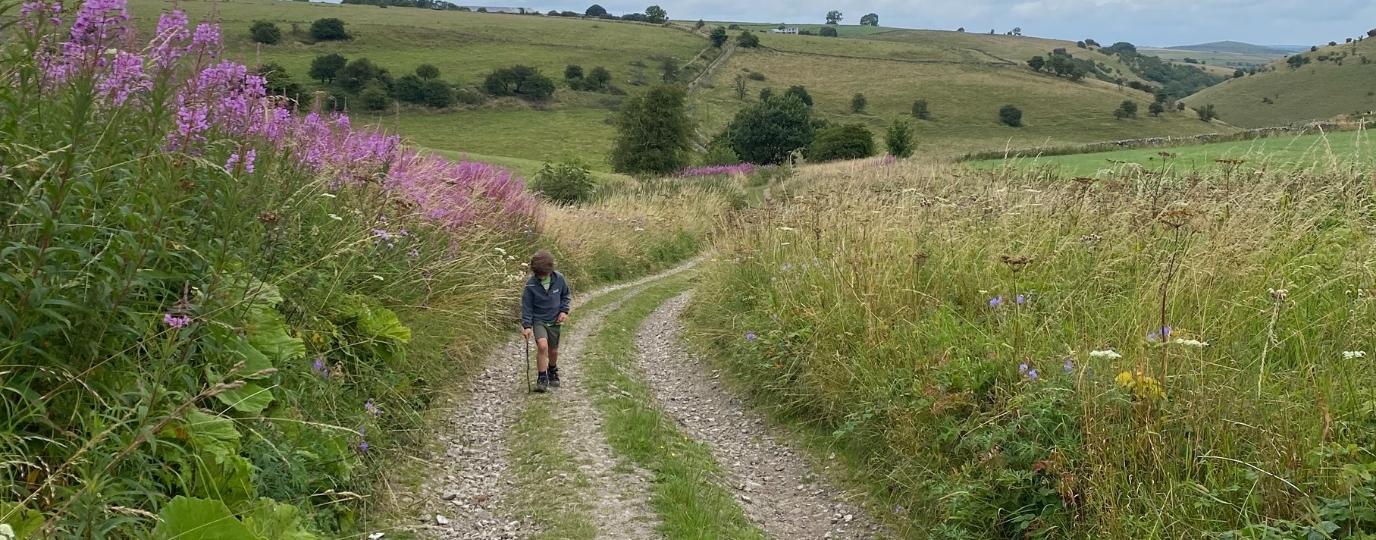
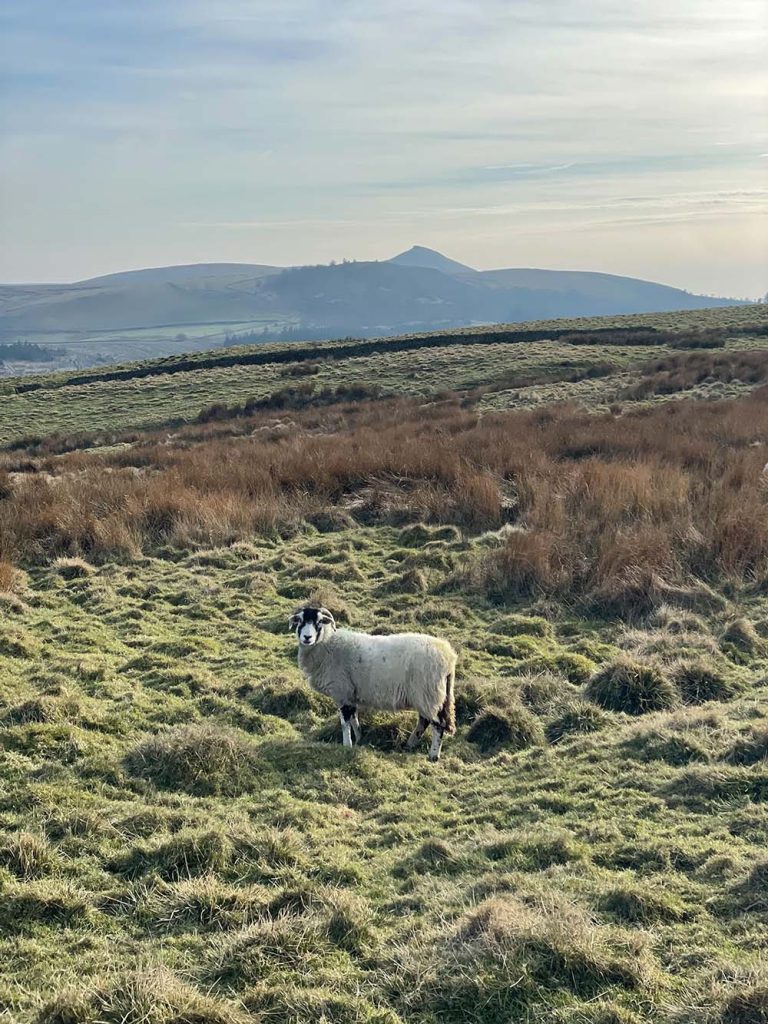
This 9 mile route on the edge of the Peak District National Park in Cheshire encompasses several landmarks in the area including Tegg’s Nose Country Park, Macclesfield Forest and Shutlingsloe (a 506m peak, sometimes referred to as the ‘Cheshire Matterhorn’ because of its distinctive pointy appearance).
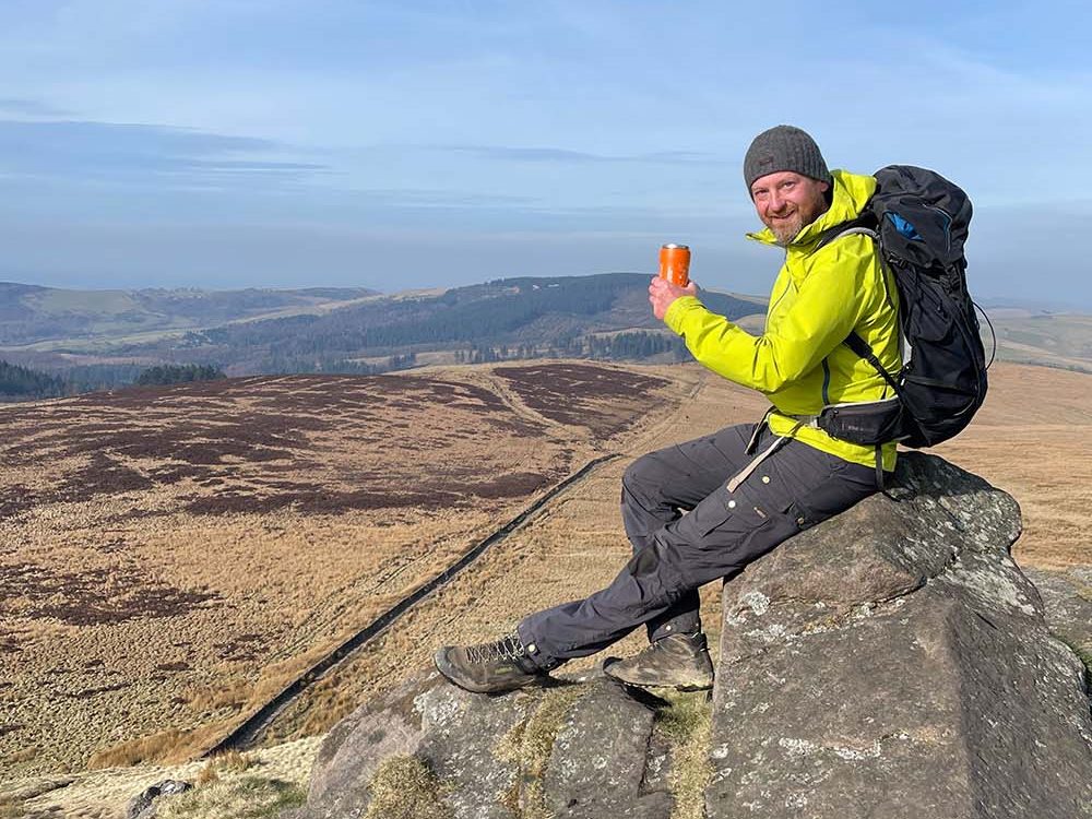
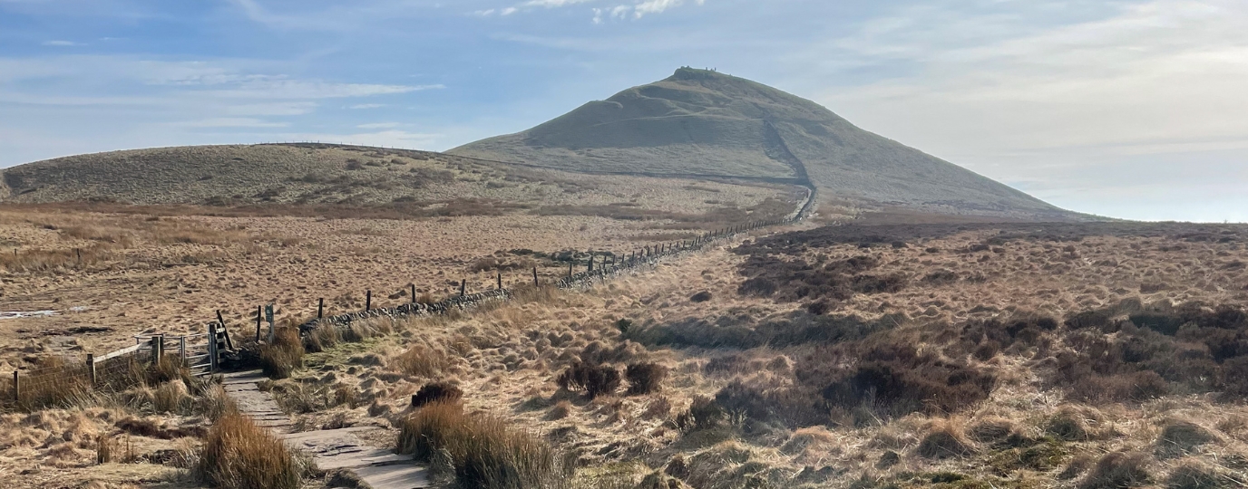
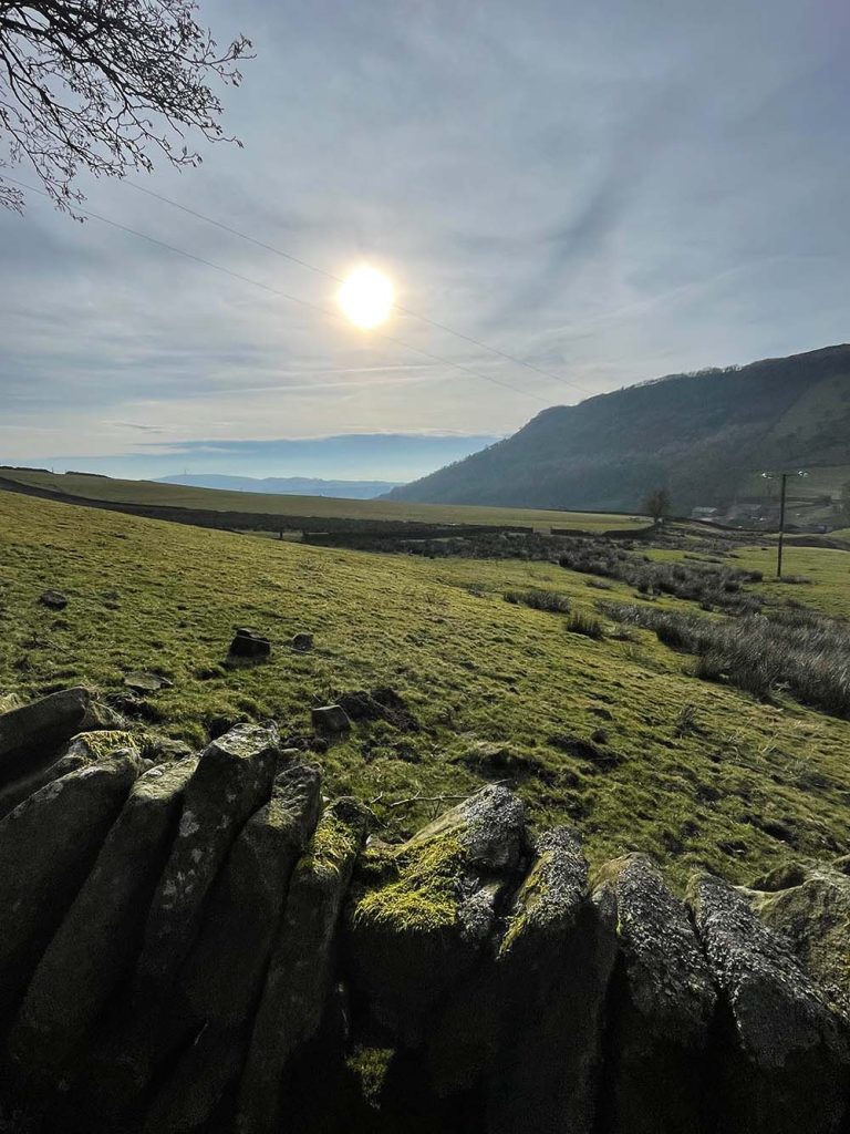
Breathtaking views stretch across the Cheshire Plain towards Manchester and the Welsh hills, especially from Tegg’s Nose and also the summit of Shutlingsloe, which has a steep but rewarding climb up and features an Ordnance Survey trig point for those trig baggers out there! A perfect place to enjoy a well deserved Taylor’s coffee break and also a brilliant place to watch a sunrise or sunset if you time it right.
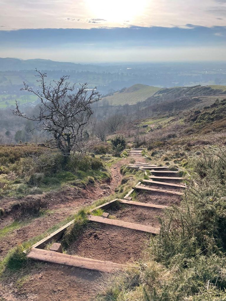
I love this area and this route really does have something for everyone, A perfect mix of challenging ascents, rewarding views, moorland terrain and peaceful forest trails, making it an unforgettable experience for any outdoor enthusiast..
Distance: 9 miles (14.5km)
Difficulty: Moderate (some steep climbs and uneven terrain)
Time: 4-6 Hours
Terrain: Hills, woodland trails, and open countryside
Parking: Pay & display carpark at Tegg’s Nose Country Park, SK11 0AP. There is also parking available along the route at Macclesfield Forest (roadside near the Leather’s Smithy pub), or at the Standing Stone carpark.
This route guide is part of the Taylor’s of Harrogate Coffee Bag Adventures Collection and was created by OS Champion Adrian Conchie

EXPLORE THE
OS Shop
We are with you every step of the way. Shop our trusted walking and hiking maps and guidebooks so you can explore the outdoors with confidence.
Go to the shop