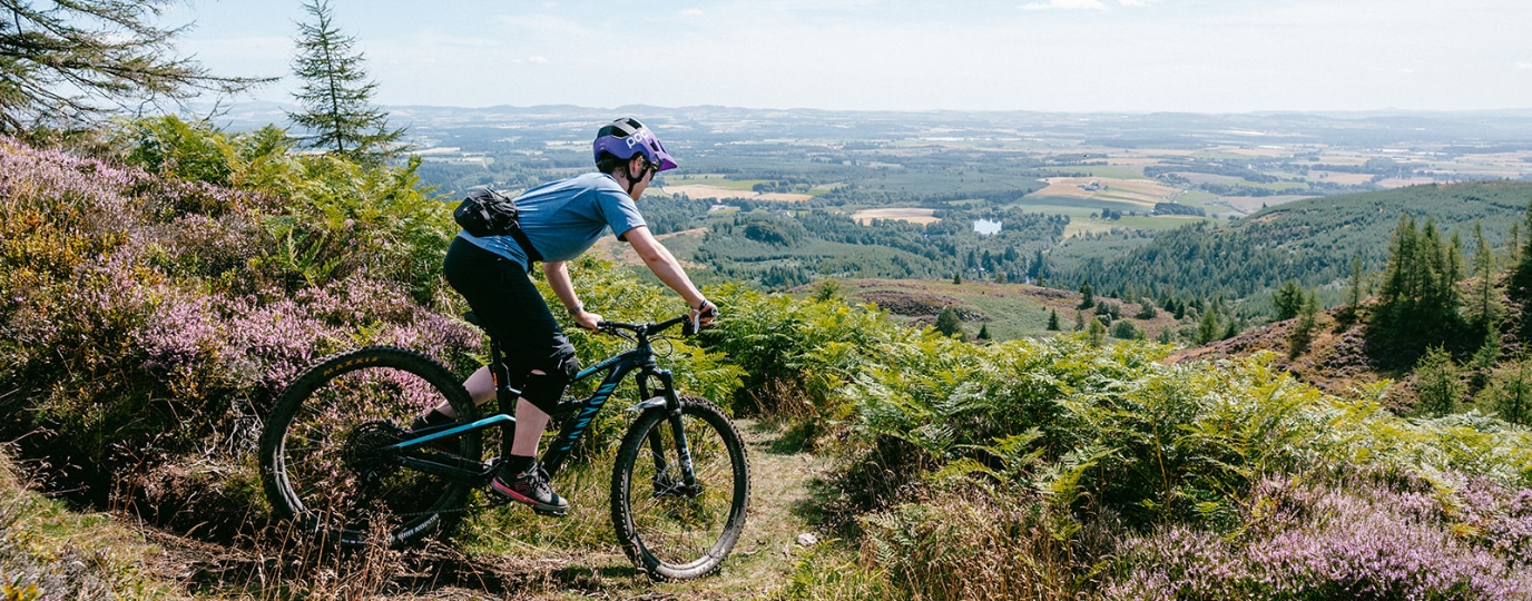
Tay Forest Park Mountain Biking
This challenging mountain bike route takes in the iconic ‘Rake and Ruin’ trail and finishes on the fun flowy ‘Electric Beaver’. This route is recommended for strong intermediate riders and above.
Over the bridge from Dunkeld you head into Birnam along the road, and pass under the railway tracks. From here you follow a nice gentle climb alongside a Inchewan Burn. Keep left and turn up the hill. You’ve now got a big climb to the top with some steep and rough sections. You might try hike-a-bike the hardest bits.
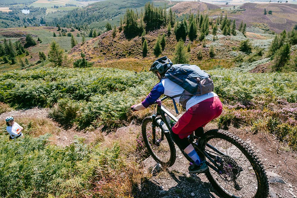
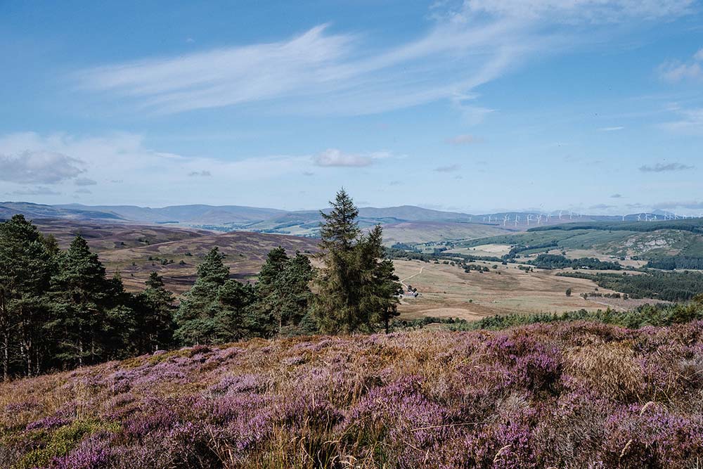
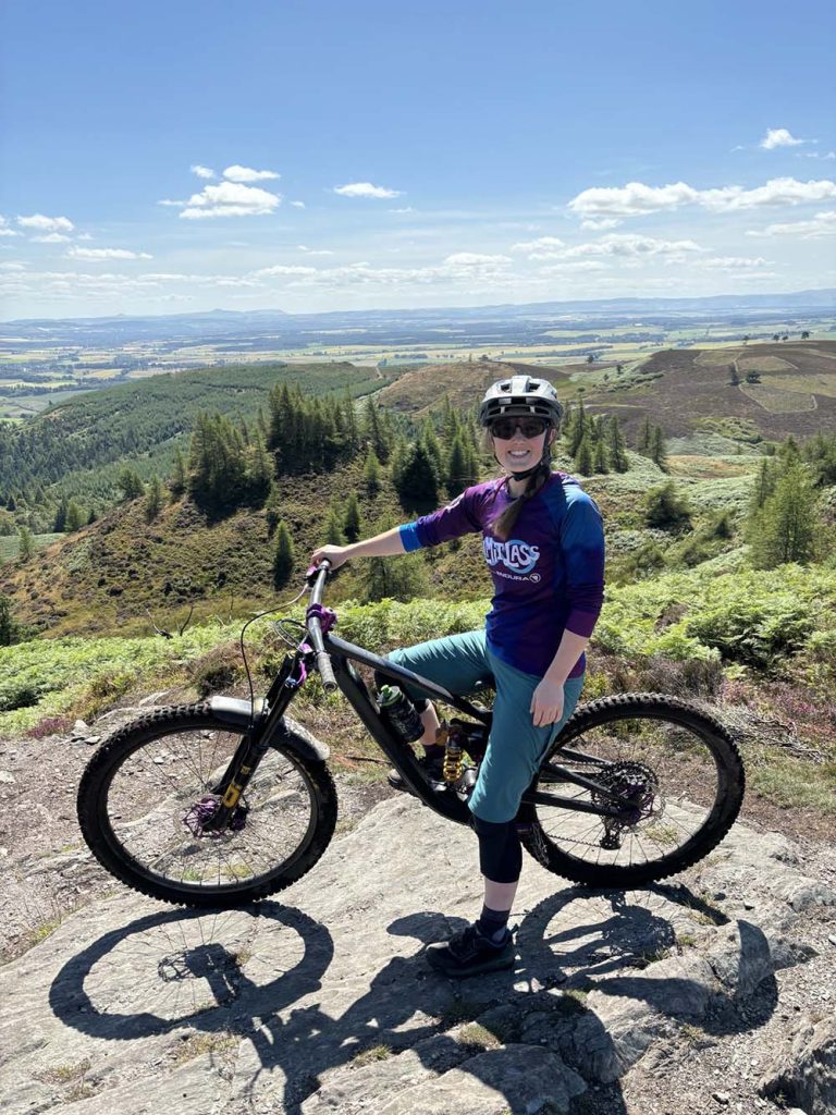
At the big deer fence where there is a T-junction in the path, turn right along a boggy path and steep push to the top. The amazing views make it all worthwhile! You’ve made it to the top of Rake and Ruin. The trail is red to black grade with a steep drop in from the top.
It gets fast, loose, and really fun! At the bottom of the trail follow the forest path back to Dunkeld and Birnam startion and if you feel like more climbing, go back up the climb along Inchewan Burn and this time instead of turning left up the big hill to Rake and Ruin, turn right, crossing a stream and into Ladywell Plantation. A short climb takes you to the top of Electric Beaver which is a really fun flowy trail to finish. Enjoy the cafes and pubs in Dunkeld once you’re back.
This route guide is part of the Taylor’s of Harrogate Coffee Bag Adventures Collection and was created by OS Champion Katie May