Stocksbridge and the Underbank Reservoir Loop
With a free morning in the village of Stocksbridge, between Sheffield and Leeds, I decided to take a short autumnal loop over the nearby hills and past the historic Underbank Reservoir.
There’s free parking on road although it’s limited. There’s also a car park near the weir.
SK 252 989
Start off heading up Cross Lane. At the first crossroad turn right onto the track heading up the steep hill on a public bridleway. Keep heading up this pretty track with a gently tricking straight trickling stream right next to it
When you reach the top of the track turn right on to the road. After 20 meters take the track to the left, called ‘Peg Folly’ and continue until you reach another paved road. There’s no footpath, but there’s a safe grass verge. Head right towards the car park (an alternative starting point for this circular route).
SK 244 979
At the car park look for a footpath just next to the Wind Hill Lane signpost with a public footpath heading off to the Northwest. Check your directions as there are two others heading off different directions.
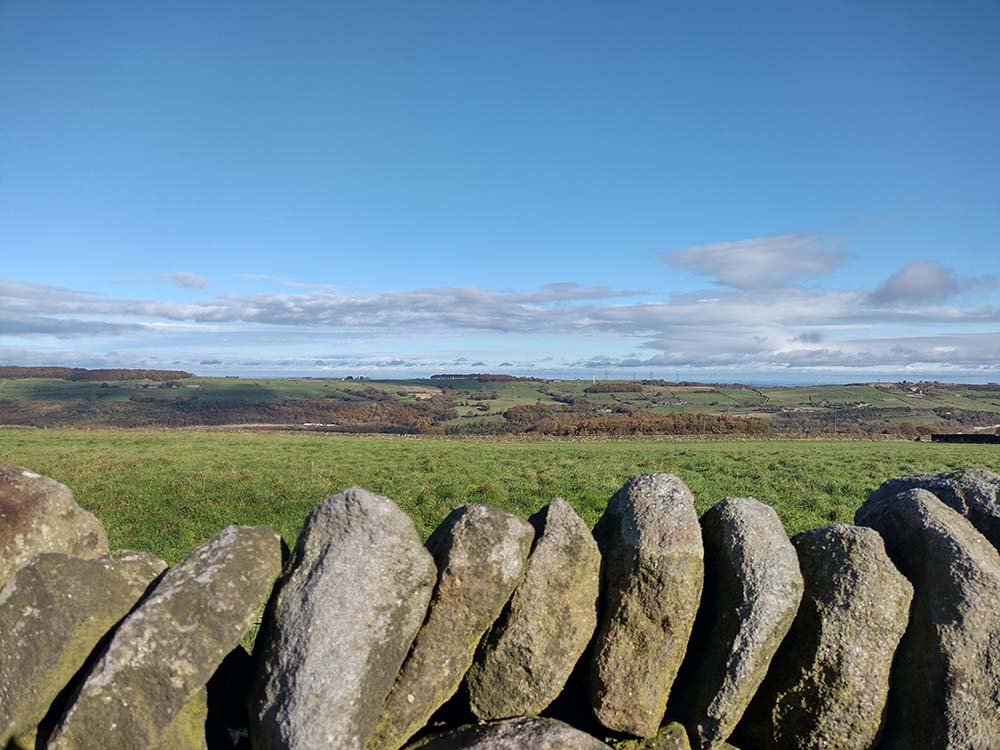
Follow the dry stone wall to your right as you walk between two valleys, and then down the hill. At the bottom of the valley head through a gate and along the (muddy!) path towards the track. Turn left on to the beautiful old Brooks Bank stone bridge, and follow the quiet farm track.
Soon you will reach the hamlet of Midhopestones with its beautiful squat stone built cottages. Head down through the town and cross over the bridge. There is a pub here – the Old Mustard Pot – although it was closed when I went through.
Carefully cross Main Road go under the old railway bridge and immediately left upwards to get on to the disused railway track, which is now a bridleway.
SK 236 998
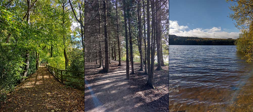
Crunching through deep dropped autumn leaves, I had the a smell of fresh wood smoke in the air from a nearby bonfire as I headed along this easy track. At the end of the trail you have to cross back over the A616 main road. There’s a planned footbridge but it’s not here yet
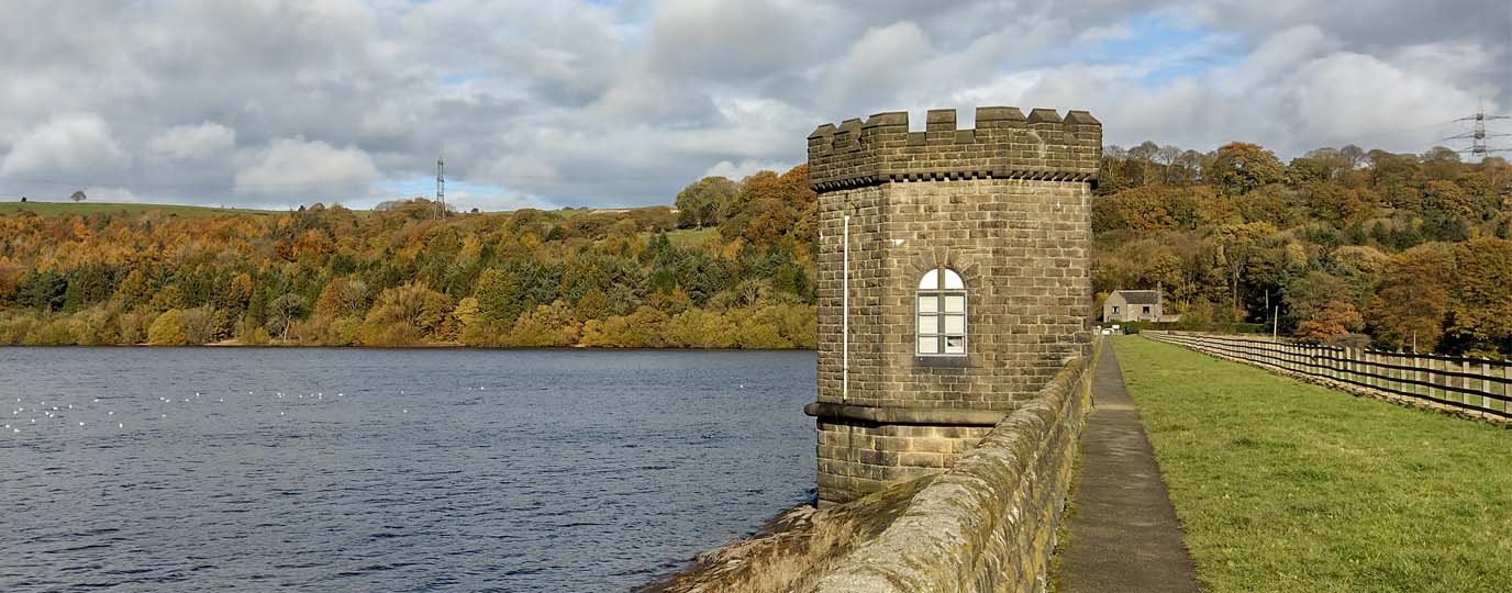
Follow the track through the pine trees until you reach the dam and cross over taking a time to admire the view over Underbank Reservoir. Use the footbridge to cross over the weirs and then loop back up on the other side on the footpath to reach your start point.
SK 252 989
7.3km / 4.5 miles
