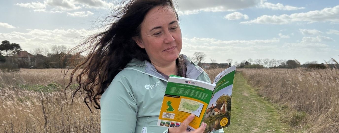
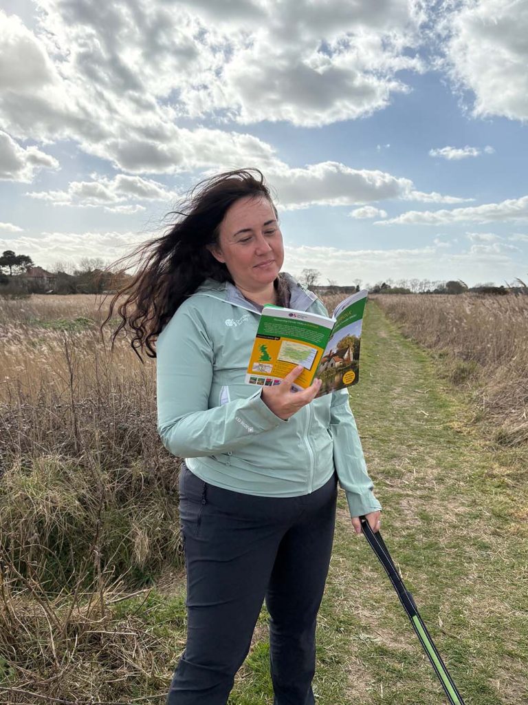
OS Champion Natasha Sones put a route from our Pathfinder Guide to Suffolk to the test, following Walk 2, a lovely Southwold circular walk.
Southwold’s character stems chiefly from the diverse architecture of its seafront. This walk around its island shows that it has far more to offer – a river busy with fishing and pleasure craft and lonely marshes beautiful beneath a wide East Anglian sky.
Southwold Circular Walk – Natasha’s Route Review
I had a wonderful dog walk on Mother’s Day with my family in Southwold, Suffolk. Wanting a bit of a longer walk I tried out one from the Ordnance Survey Outstanding Circular Walks book – OS Pathfinder Guides. I did Walk 2 from this Suffolk Walking Guidebook.
This walk encompassed lovely views from harbour to fields and rivers, to seaside. It took us 2 hours – it is a 4-mile walk – but that included an awful lot of stops for the children. The book says 1 and a half hours, which it would have been on my own!
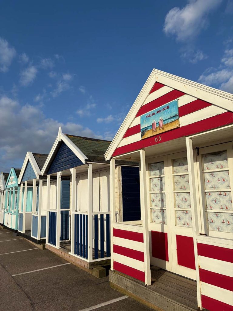
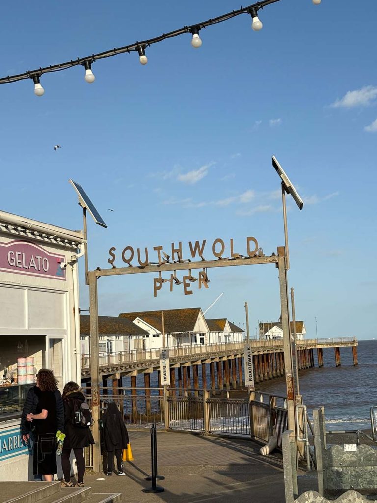
It starts and finishes as Southwold Pier and goes past a row of colourful beach huts. It was good fun following the route from a guidebook, rather than a map or app. It felt like orienteering and I put my youngest in charge of navigating from the book. This was a great way to get children involved in the walk as it was easy for him to follow the book and feel like a tour leader.
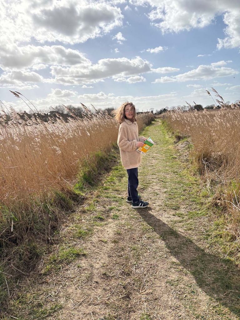
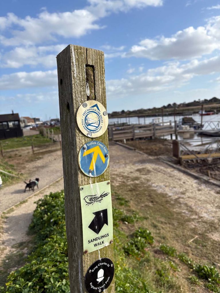
We walked along footpaths by the side of Buss Creek, enjoying the peace and gorgeous vast open Suffolk skies dotted with clouds. Following the book the instructions were very clear to follow, even for an 11-year old. The only thing was a kissing gate mentioned in the book which didn’t appear to be there any more.

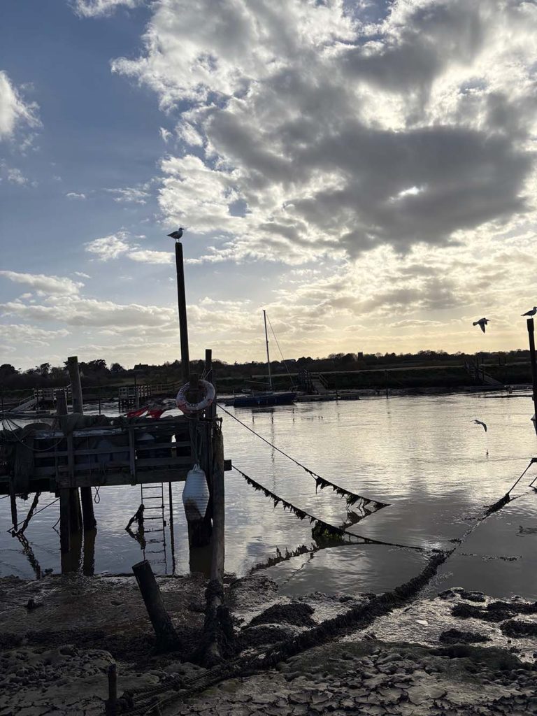
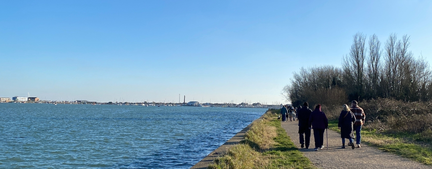
We continued along to the River Blyth, a beautiful river which reaches a tidal estuary between Southwold and Walberswick on the North Sea coast. Walking along by the riverbank through the harbour beside a long line of moorings it was interesting to look at the boats and footbridge.
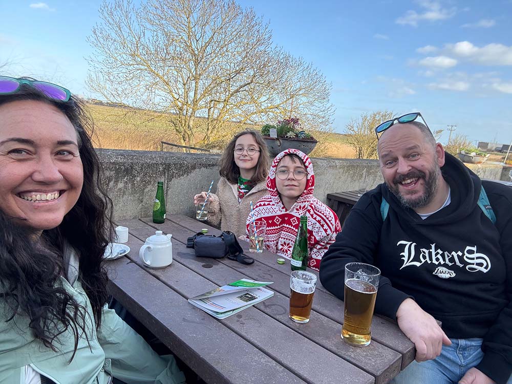
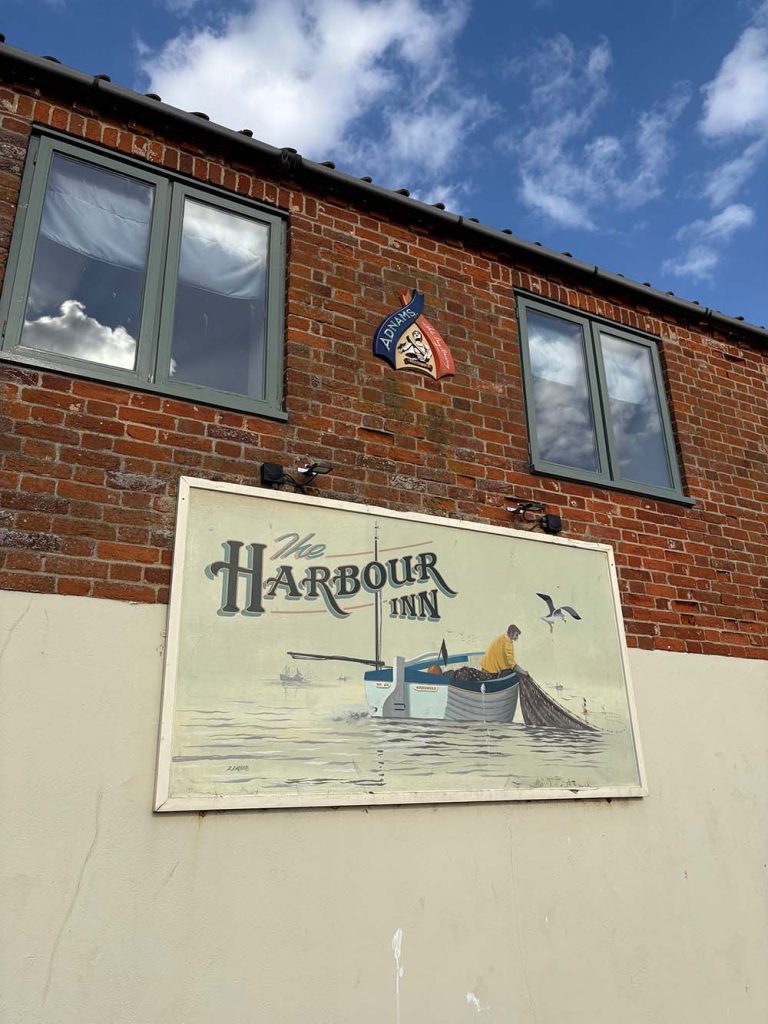
We decided to stop at the Harbour Inn for some local Adnams ale and soft drinks for the little people. The dogs and children were really enjoying the walk, especially how varied it was. But they were starting to get tired so stopping for drinks at the pub on the way was great for a well-timed break.
We then wandered through the harbour, passing by fishermen’s huts offering crabs, lobster and local fresh fish, and boatyards where you can see different types of boats and lots of birds.
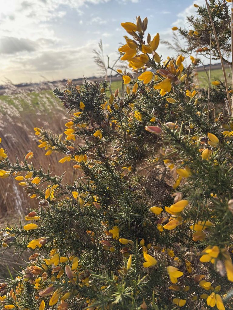
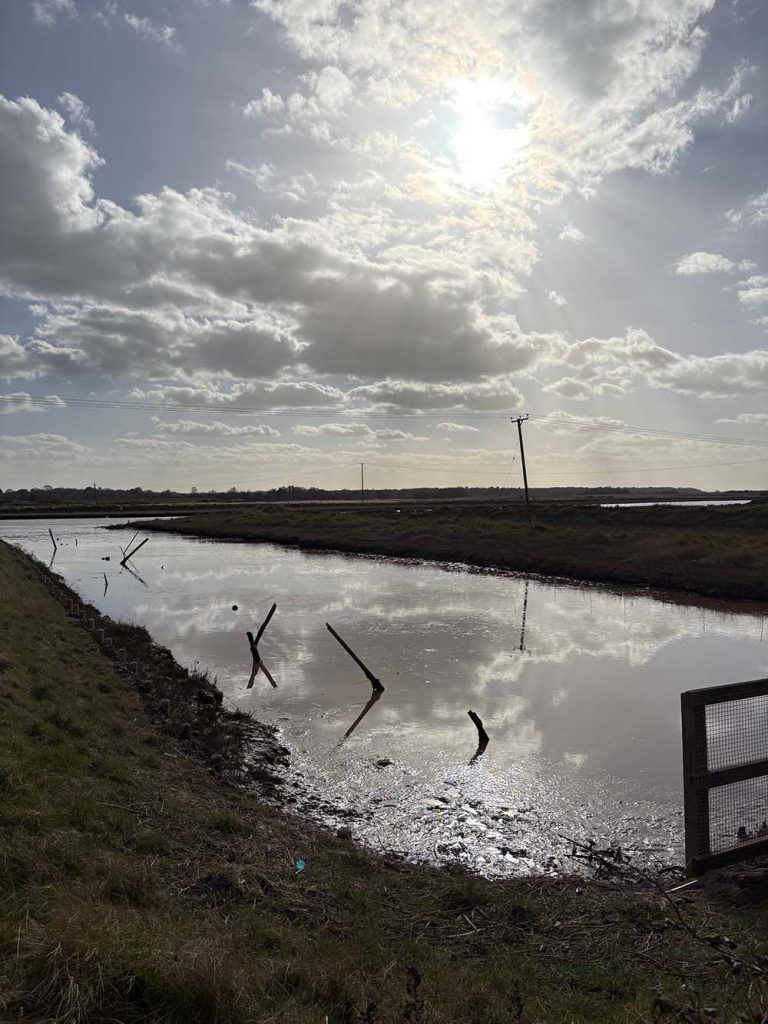
At the marshes adjacent to the Sandlings Walk you can see wildflowers and scarce plants. See ducks, swans, wildfowl and a lot more.

As you return to the town in a circular route, you finish the journey along the seafront. The lighthouse is a prominent landmark in the centre of the town.
It was really lovely to see this picturesque seaside resort from a different viewpoint. As a Suffolk local (this walk was only half an hour from where I live) I have been to Southwold a lot but only really visited the beach. So to take in the harbour and other areas has been really interesting.
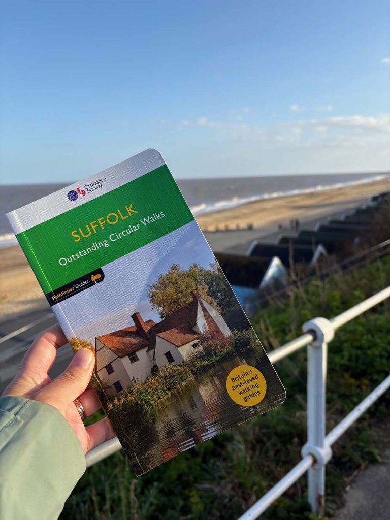
I look forward to exploring more walks from the book. It features 28 beautiful walks across Suffolk with the OS Pathfinder Guidebooks, graded by length and ranging from under 3 to 10 miles. Walks include Suffolk’s riverside meadows of the Stour. There is a choice of coastal walks, including routes through Southwold, Shingle Street, Dingle Marshes, Thorpeness, and the Shotley Peninsula.
The routes range from extended strolls to longer hikes, meaning something for all levels! Each walk includes a detailed description, an OS map, GPS waypoints and notes of key features and things to see.

EXPLORE THE
OS Shop
We are with you every step of the way. Shop our trusted walking and hiking maps and guidebooks so you can explore the outdoors with confidence.
Go to the shop