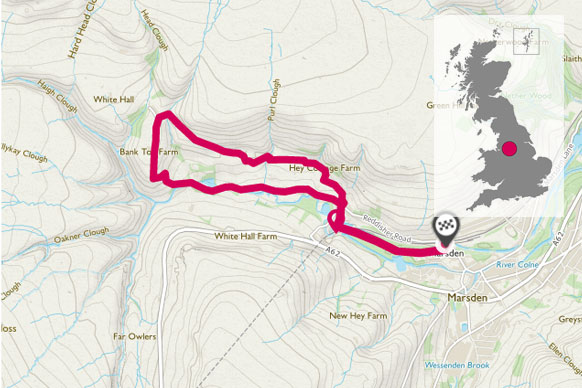
Piper holes provides a gentle 3-mile walk to the head of the Colne Valley. It provides some fantastic views across the wild and rugged landscape of the Marsden Moors and passes the historic Stanedge canal tunnels. It is well sign posted with Marsden Walkers are Welcome signs.
Located midway between Manchester and Leeds and situated close to the northern edge of the Derbyshire Peak District, near to the Pennine Way, Marsden is an ideal walking location.
With over 60 miles of public footpaths available over a wide variety of terrain ranging from ancient tracks and lanes, canal towpaths and reservoirs to open rugged moorland offering fantastic views of the upper Colne Valley and beyond there’s something to suite all tastes, interests and abilities.
SE 046 118 Marsden Train Station
I’ve recently started using this route for evening off road trail running as it provides an interesting mix of roads, footpaths and fields to run through. Even if you don’t fancy running it’s also a great short walk which provides fantastic views across the valley.
Starting at Marsden train station (where there is also plenty of parking if you didn’t arrive by train) turn right and follow the canal along until you reach Tunnel End.
Head up the access road and cross over to walk behind the old Tunnel End pub. Follow the path through a small wooden gate and across the field to a large wooden field gate and onto a cluster of houses at Orchard Hey. As you pass the houses look out for a small metal gate on the right to walk through and head up to the lane. Turning left the track takes you past Berry Greave Farm and eventually onto a junction to turn right. Follow this where it winds behind houses and through a very narrow path into a field.
Watch out along here as at the height of summer it can be overgrown with nettles, which in running shorts can be a bit painful on bare legs! It can also be pretty muddy.
SE 029 126
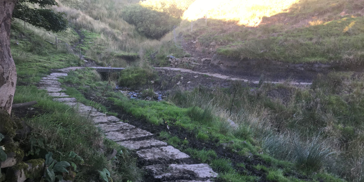
Once you’re in the field the path is easy to follow and it crosses boardwalks and eventually a stone path installed by the Walkers are Welcome initiative to save walkers from disappearing in the mud. This bit of the field can often have cattle in it and so it can be pretty muddy, so the new stone sets are a welcome addition when I’m running through in trainers!
SE 028 124
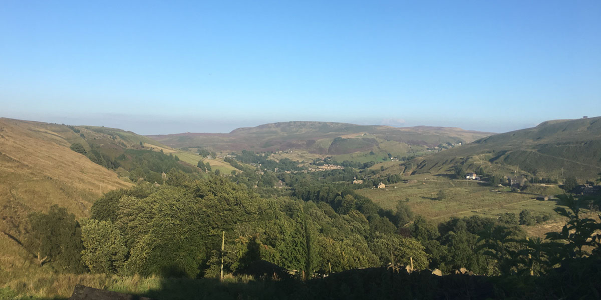
Unfortunately, the slog uphill to the road isn’t paved so it’s a joy to reach the little country road and out of the mud. Whilst you’re on tarmac this area of Marsden is a real gem as it is very quiet and has fantastic views back up the valley and also across to Pule Hill and the open moorlands.
SE 040 119
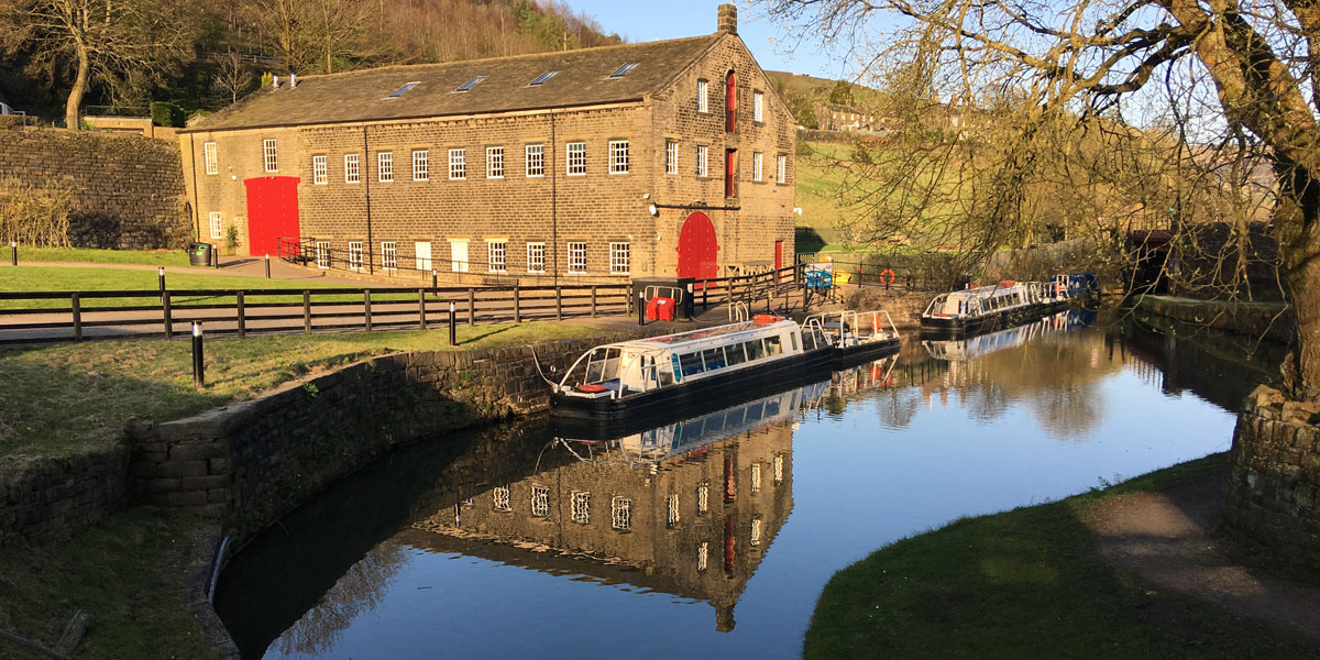
Stay on the road as it drops down and follow it back to the entrance to Tunnel End and onto the canal.
4.84KM SE 046 118
4.84 km / 3 miles