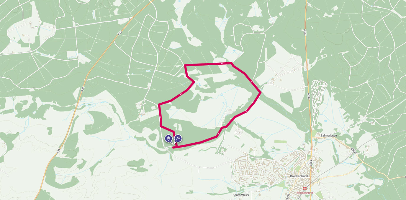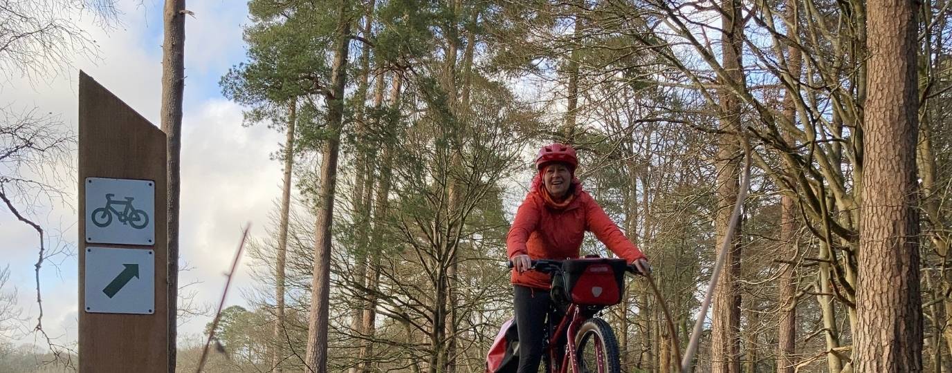
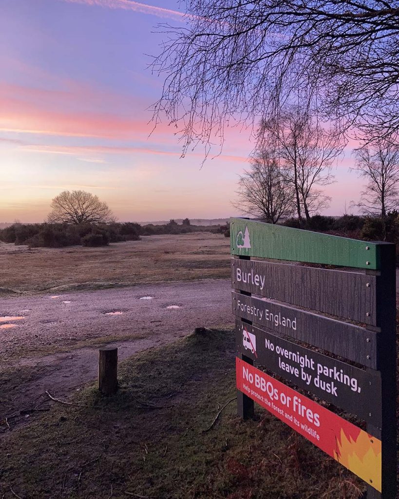
Cycling from Burley to Bolderwood, New Forest
This route takes you from the charming New Forest village of Burley up through the wooded inclosures on the permitted gravel tracks to the deer sanctuary at Bolderwood.
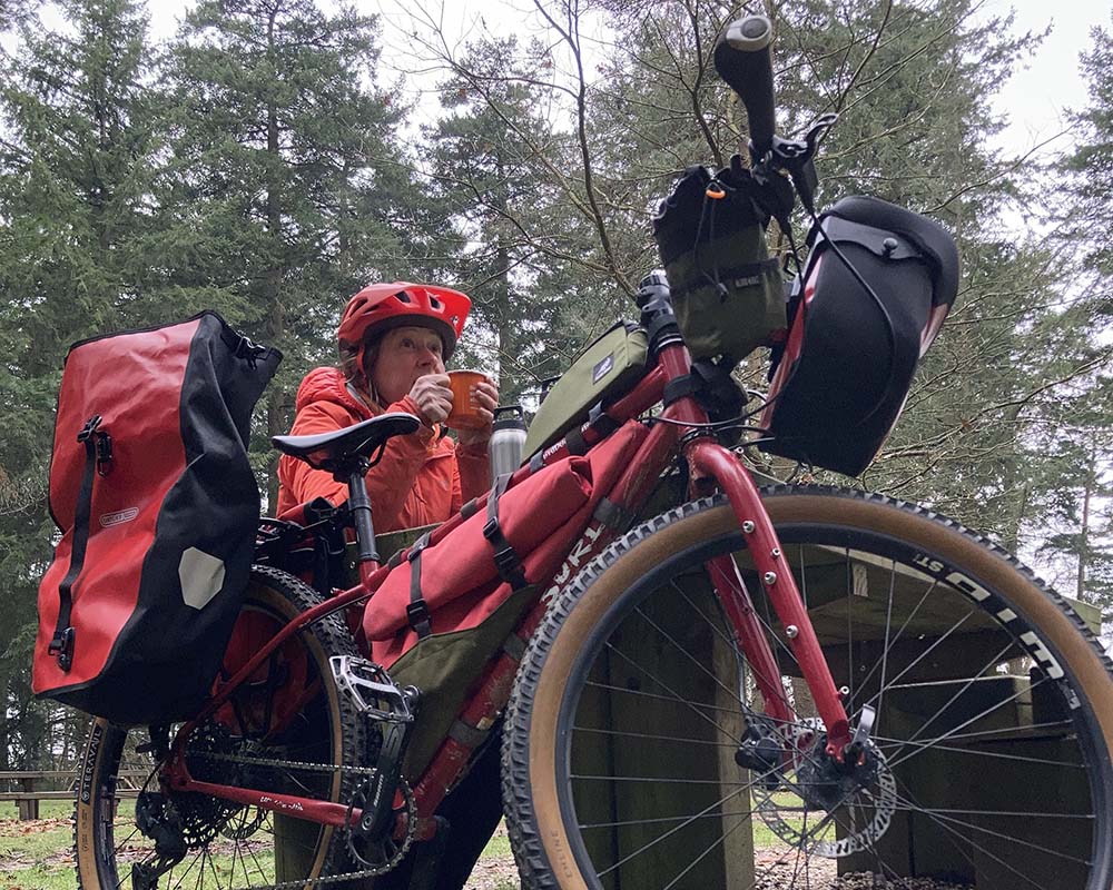
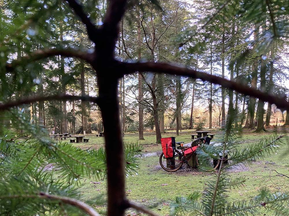
Next to Bolderwood car park you’ll find some picnic benches nestled under the conifers, perfectly placed for your mid-ride boosting coffee and snack stop.
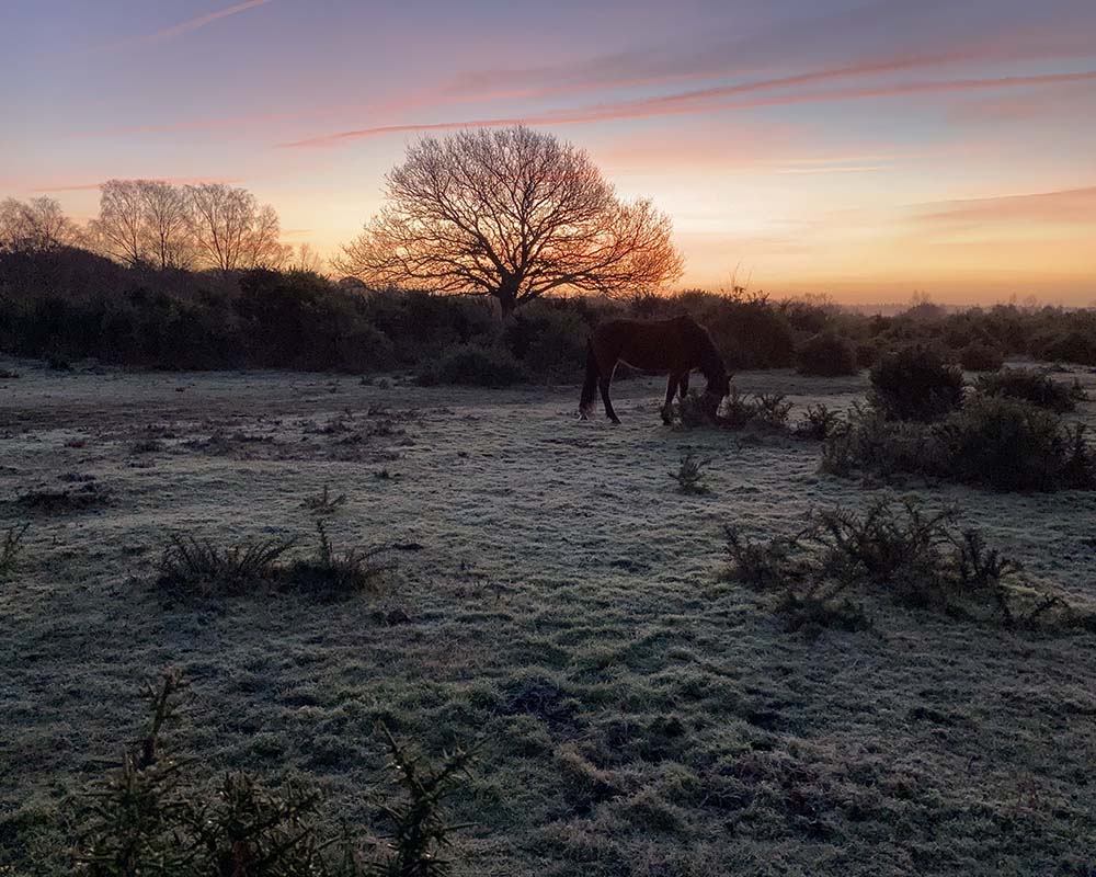
Leave very early from Burley and you might be the only one at Bolderwood with a good chance of spotting deer and enjoy a woodland bird dawn chorus along the way. It does get popular at peak times.
There is a purpose built viewing platform overlooking a meadow where fallow deer gather. There are also a couple of benches if you prefer your cuppa here.
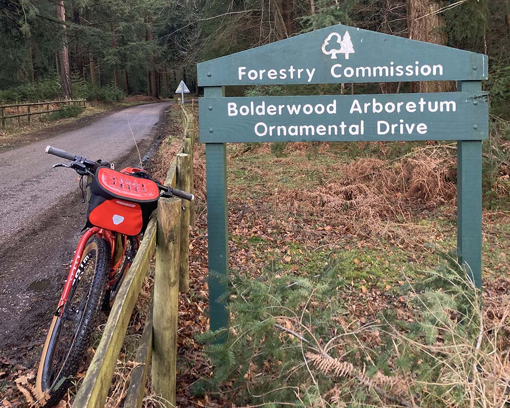
After the gently uphill ride to the pit-stop, get ready for a dreamy descent down the narrow road which has ( probably) the longest name in the UK- Bolderwood Arboretum Ornamental Drive.
After about 1.5 miles of mostly freewheeling, flying downhill under the trees turn back onto the gravel track at post 135. The route then winds and undulates down to a road which will lead you back to Burley.
17km (11 miles)
Total ascent 182m
Allow up to 2 hours
Mostly Easy – some ascent in places
OS Explorer OL22
Bike Hire available from New Forest Cycling , Burley.
Toilets and car parking at Burley and Bolderwood.
Nearest train stations: Brockenhurst about 8 miles (13km) Sway about 6 miles (10km)
This route guide is part of the Taylor’s of Harrogate Coffee Bag Adventures Collection and was created by OS Champion Sue Barrett

EXPLORE THE
OS Shop
We are with you every step of the way. Shop our trusted walking and hiking maps and guidebooks so you can explore the outdoors with confidence.
Go to the shop