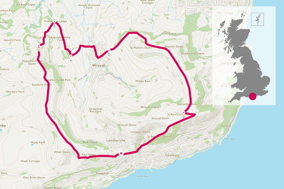
This route was added to OS Maps last year by Country Walking magazine. With a free weekend, Jonathan and partner headed off on the ferry to give it a try.
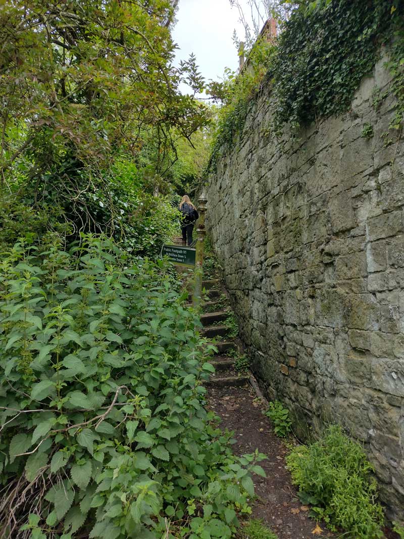
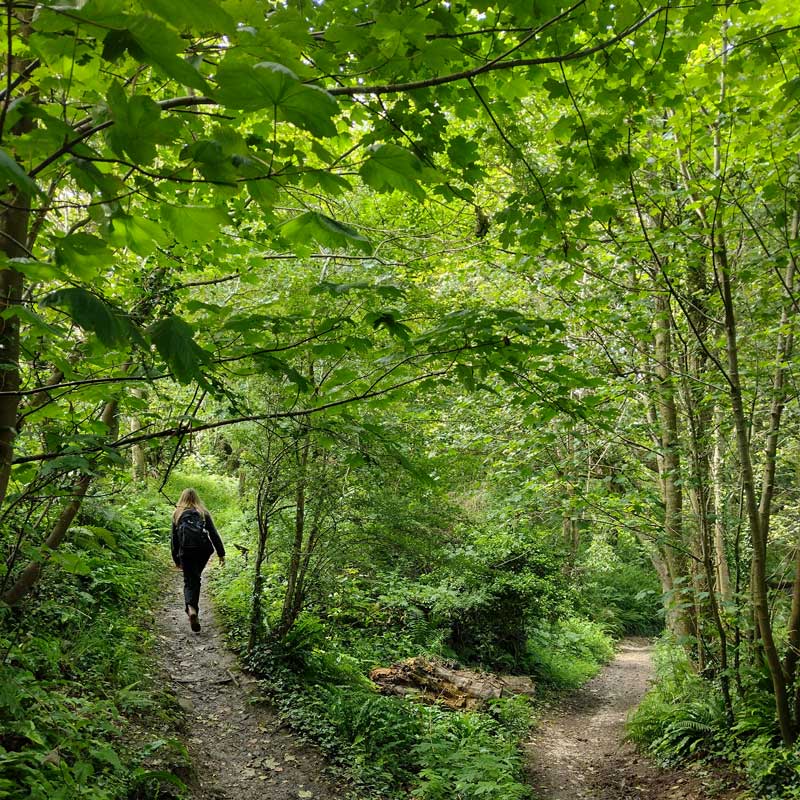
While there’s nothing technically challenging on this walking route, you’ll need long trousers and boots, as some of the paths were pretty overgrown with nettles and brambles, and can be muddy. You’ll also need to keep an eye on your OS Maps app, GPS or paper map, as there’s quite a few branching paths, and places where the right of way can be tricky to spot.
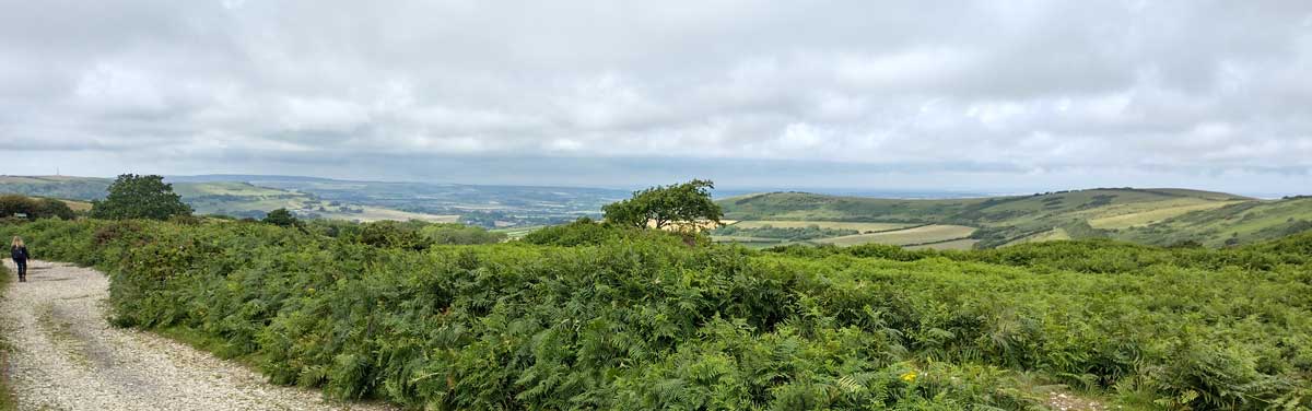
In return, you get some great views over the Isle of Wight, and across the Solent to Portsmouth, get to walk through some wild flower meadows full of butterflies and busy bumblebees, and discover a monument to a long-gone landowner. Try to stick to the paths – the chalk of the Downs can erode easily, and there are a number of rare plants that grow in the area.
SZ 556 776
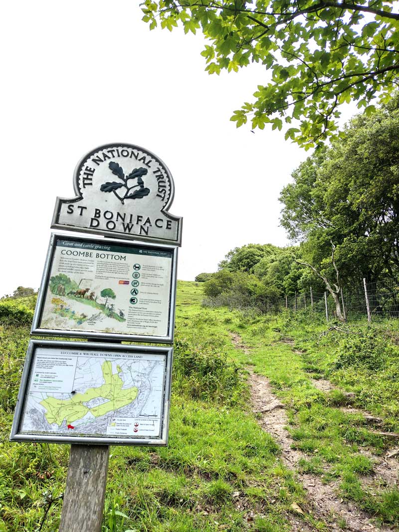
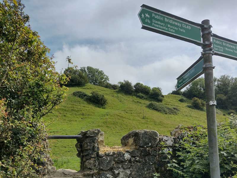
While we followed the Country Walking route, we did it in reverse, so if you are using a GPS or the OS Maps app, you will have to allow for this. The start point of this route is a little tricky – from the marked start, head down the road and look for a set of steps just inside the Ventnor Industrial Estate. When we went it was hidden behind a vehicle, and the sign had been partially covered with ivy, but once you have found it, you start off up the steady slope of St Bonniface Down. You’ll be able to see a large radio tower ahead of you, so aim for it. Look behind you for views over the town
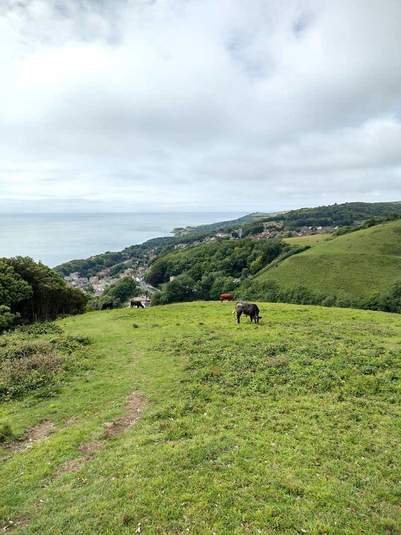
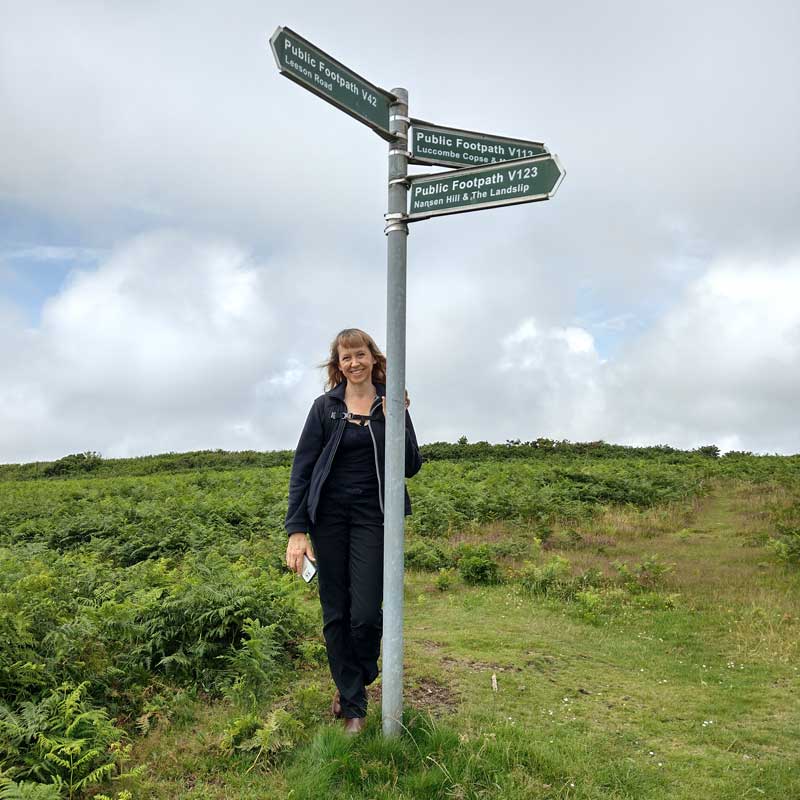
When you reach the radio mast, take a moment to enjoy the view out towards the mainland, then take a hard left, before heading north along Luccombe Down. You will be roughly following the ridgeline. As you drop down the hill into the valley, keep an eye on your position – there’s a number of paths here, but you need to send up heading south-west into the town of Wroxhall, skirting through the edge of the woods.
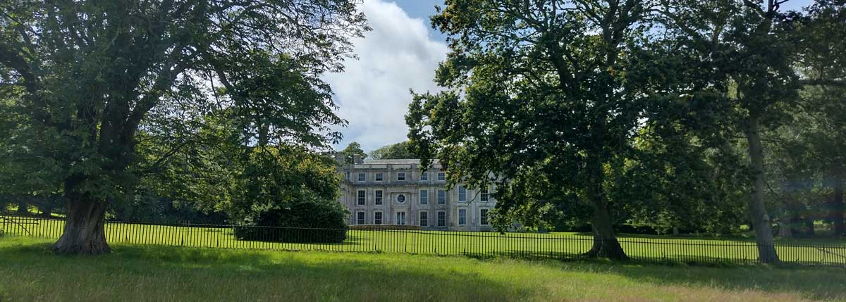
If you want a rest, you can stop off in Wroxhall – there’s a convenience store (with a handy bench opposite) or the The Star pub, which is open from 1pm most days. Once you are ready to continue, head along the main road, then turn up Appledurcombe Road. It’s worth taking the slightly longer path to detour in front of Appledourcombe House. It was heavily damaged in the war, so is just a shell, but is still a really good example of English Baroque architecture, popular when it was built in 1702. It’s now managed by English Heritage and you can visit the grounds (designed by ‘Capability’ Brown).
SZ 544 799
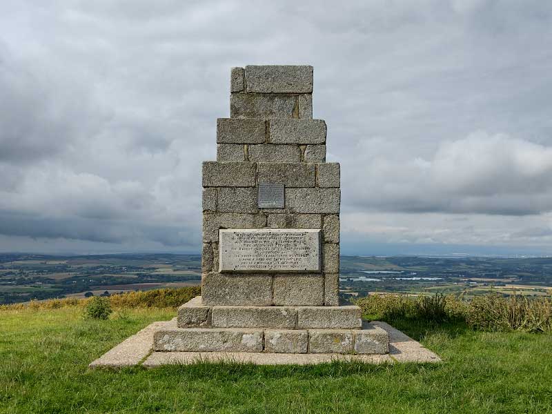
From here, head past the front of Appledurcombe Farm (follow the signs got GL47), before turning south up a steep hill. At the top you will find an impressive stone monument, dedicated to Robert Worsley, a landowner, a Deputy Lieutenant of Hampshire, and the who started the construction of Appledurcombe House you just passed – although he died in 1702, so never saw it completed. From the monument, you are going to head south on to Stenbury Down.
SZ 536 801
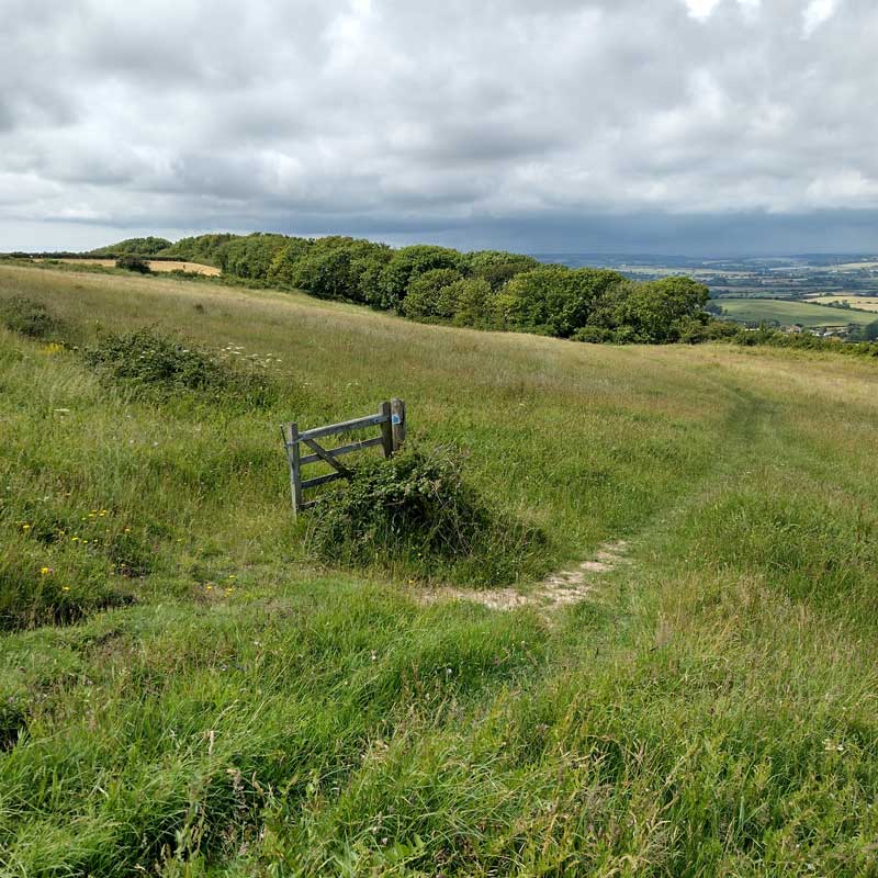
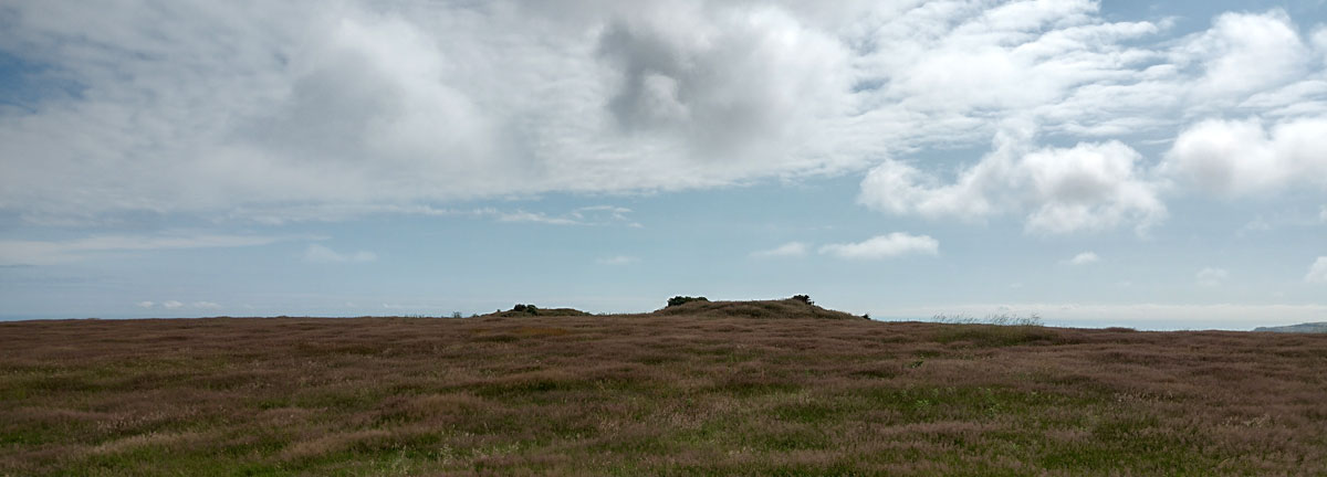
The path can fade out a bit here, so stick to the top of the Down, passing the first radio tower on your right, before dropping down a short slope and crossing a stile just at the second tower. As you head up a gentle hill, keep an eye on the field to your right. You’ll see three large mounds, which will be clearest as you climb the slope, as they will be right at the top of the hill. These are tumuli, or burial mounds. You’ll find them all over the area, but these three are especially easy to spot. They are in agricultural land, so you will just have to admire them from the footpath.
You’ll pass the edge of Ventnor Golf Course, then past the appropriately named Steephill back into Ventnor.
13km SZ 556 776
13 km / 8 miles