Walk the entire Kinder Plateau from Edale.
A challenging and highly rewarding 19 mile route around the entire Kinder Plateau from Edale.
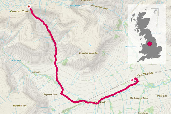
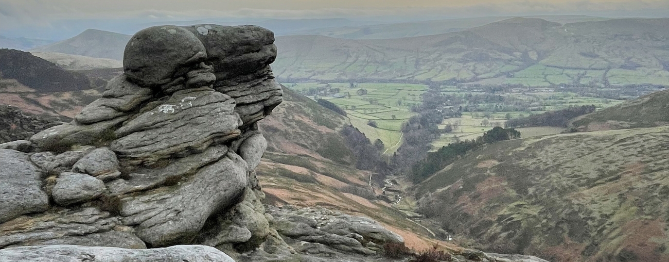
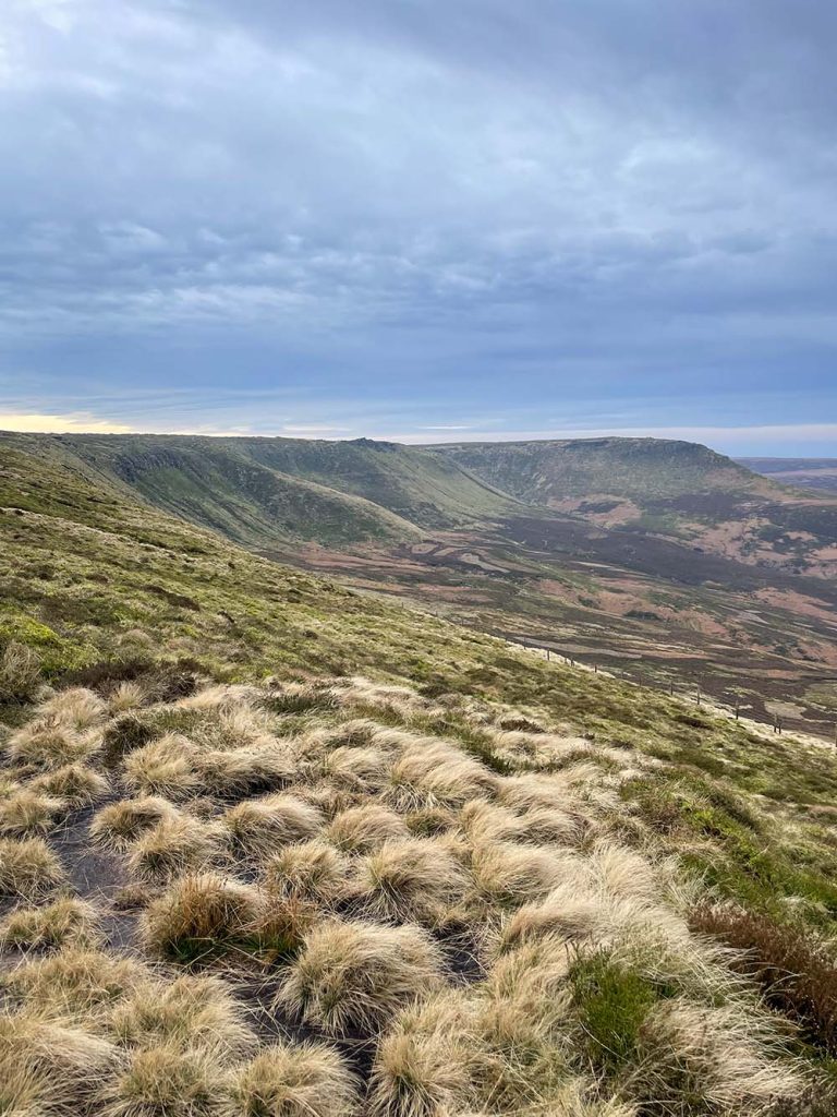
This circular route starts and ends in the lovely Derbyshire village of Edale and is an awesome challenge hike or trail run with plenty of varied terrain. It offers panoramic views, rugged grit stone edges, and dramatic peat moorlands, with many interesting rock features along the way.
I can’t actually think of many better ways to experience the Dark Peak area of the Peak District National Park, whilst challenging yourself physically and having an enjoyable and memorable adventure too.
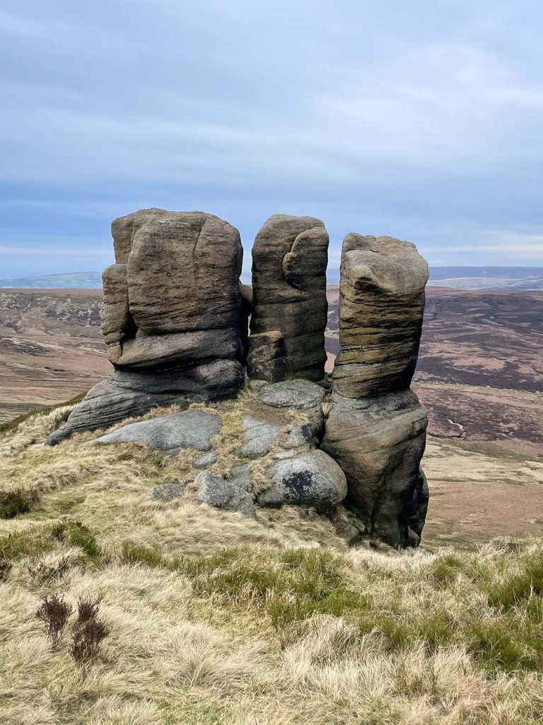
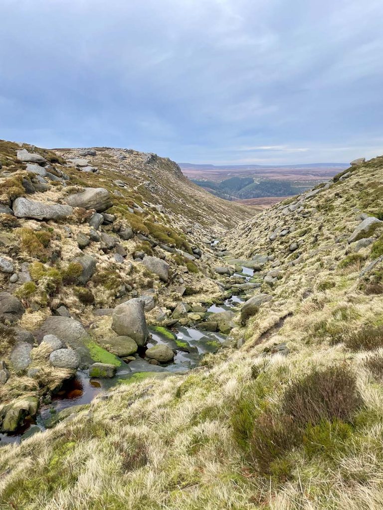
From Edale, the route initially proceeds onto the Kinder Plateau past the grit stone rock formations on ‘Ringing Roger’ and then for the most part follows the entire edge of the Plateau. There are many features and highlights along the way including the Wool Packs, Kinder Low (which has an Ordnance Survey Trig pillar), Kinder Downfall (a waterfall which blows upwards in high winds) and many more… It then continues along the much quieter but no less impressive northern edge of the plateau, again with numerous rock formations and interesting sights. Back again to Ringing Roger for the final descent into Edale.
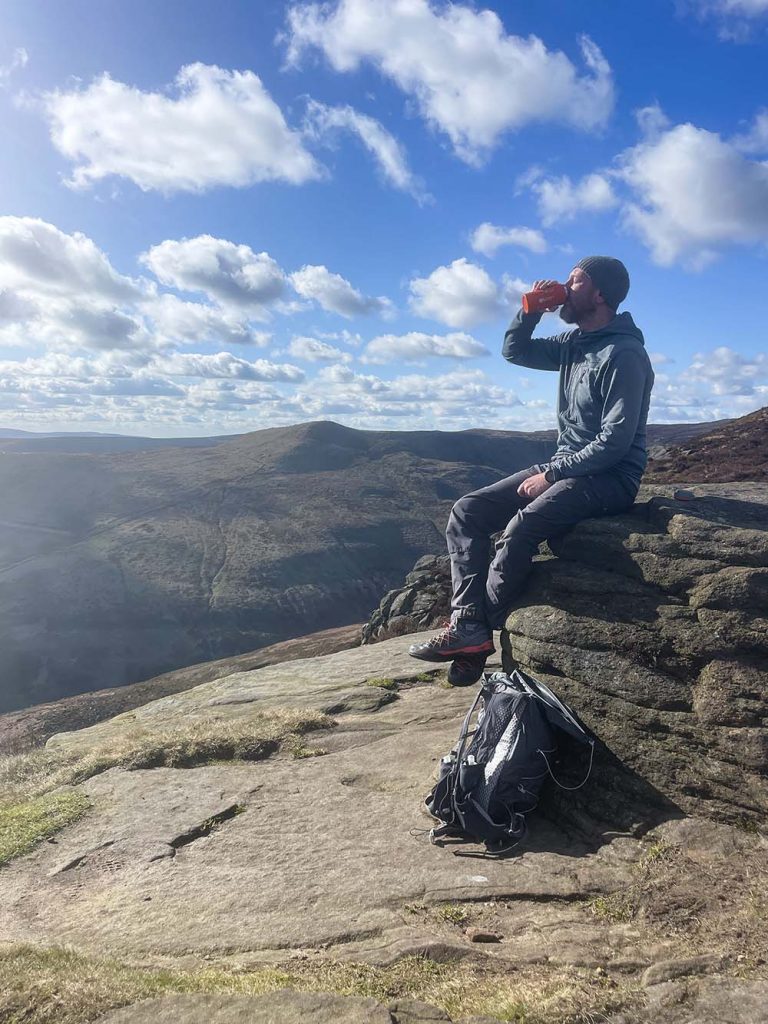
A perfect route for experienced hikers or trail runners looking for an unforgettable day in the heart of the Peak District!
Distance: 19 miles (30.5 km)
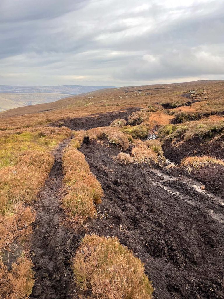
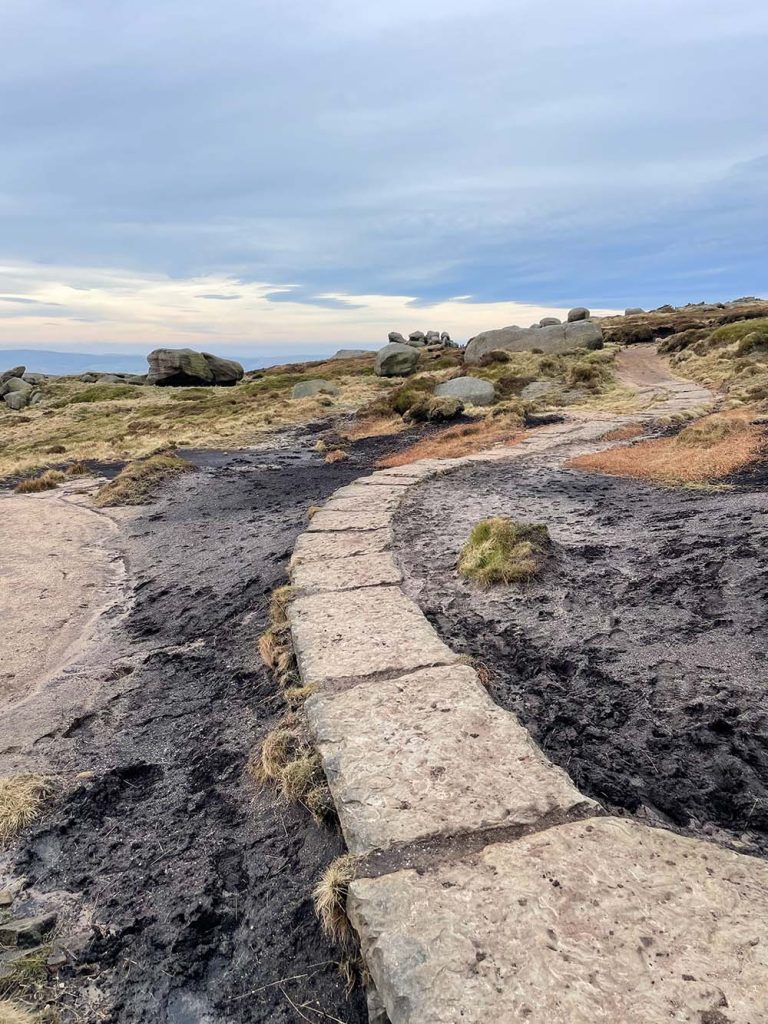
Difficulty: Difficult (uneven, challenging and remote terrain. Boggy in places.)
Time: 7-10 Hours
Terrain: Hills, heather moorland, peat bog, rocks.
Parking: Edale carpark, S33 7ZQ. Or Edale train station carpark. Both are pay and display. Both can get very busy especially at weekends, so best to arrive early.
This route guide is part of the Taylor’s of Harrogate Coffee Bag Adventures Collection and was created by OS Champion Adrian Conchie

EXPLORE THE
OS Shop
We are with you every step of the way. Shop our trusted walking and hiking maps and guidebooks so you can explore the outdoors with confidence.
Go to the shop