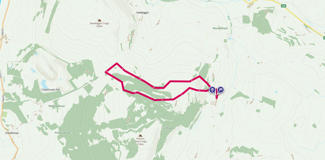
Hutton Roof Crags is a lesser walked area in Cumbria. Rory Southworth takes us through a remarkable hillside littered with limestone pavement.
SD 5705 7814
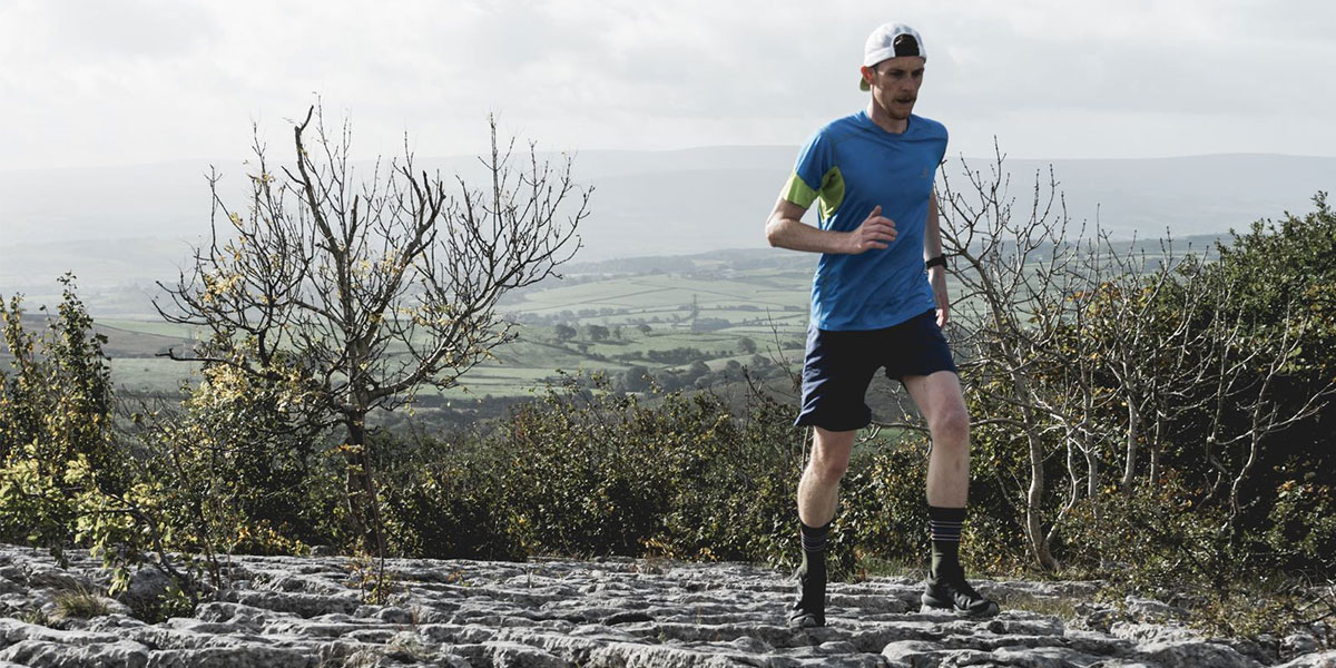
The Village of Hutton Roof is tucked away in South Cumbria the other side of Holmepark Fell, easily seen from the M6 motorway by junction 36. Whilst Hutton Roof Crags may not match the Lake District in terms of scale and beauty, it is the incredible mosaic of Limestone pavements that spread throughout the area that make Hutton Roof a worthwhile visit.
From the village road, head north along the road that leads through Hutton Roof with its many old cottages and farmhouses to the public footpath that heads west, taking the left split to head towards Blasterfoot gap and the first aesthetic Limestone crag you will see.

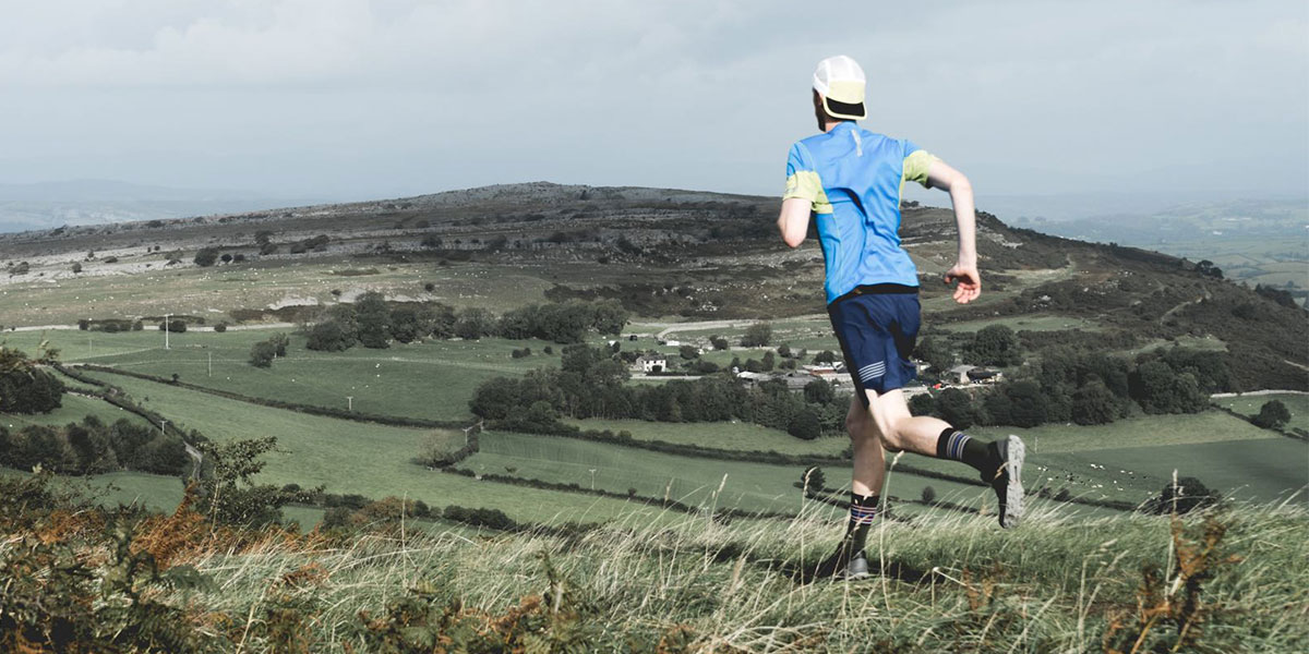
By walking up or clambering up this craggy outcrop, it unveils views of the nearby peaks in the Lake District and Yorkshire Dales National Parks.
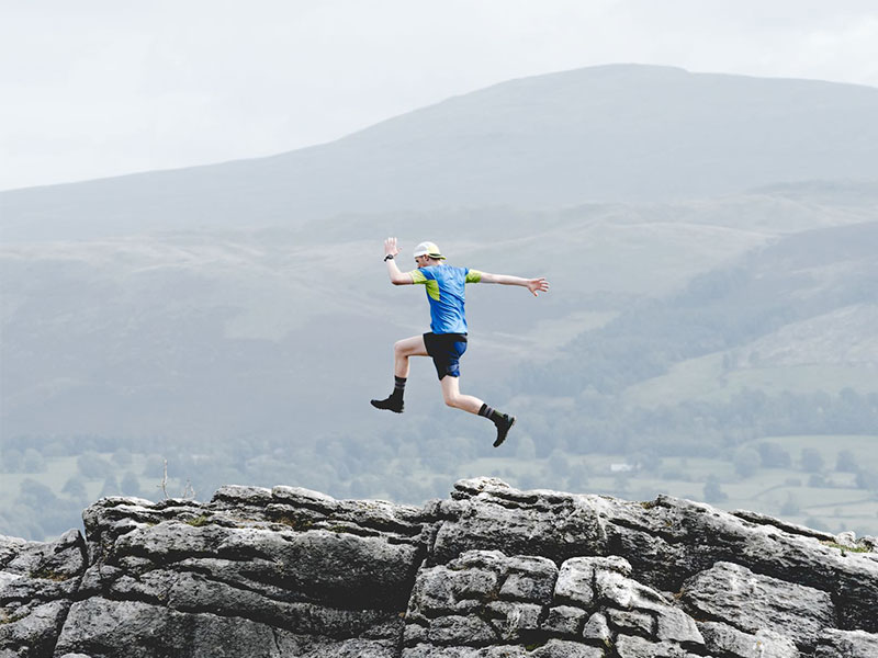
Make sure to take care on the Limestone pavements due to their uneven surface, large gaps and sometimes loose sections. It is also an offence to remove any of the limestone from the area so don’t be tempted to take any keepsakes from your trip, the photographs should suffice.
As the gradient of the hill subdues the path heads south west past the high point and weaves between the Limestone Crags, eventually heading in a north west direction until you reach a more sustain footpath that leads to a minor road.
From here you can see the south face of Homepark Fell, the striking hill that overlooks the M6 at junction 36.
Head north east on the road for about 250 meters until you reach a footpath on the right side of the road. Follow this footpath south east, skirting around the edge of the hill though some wooded sections until you reach the lane that leads back to Hutton Roof.
Retrace this road, heading south in order to reach the start of the walk.
5.25K SD 5705 7814
5.25 km / 3 miles