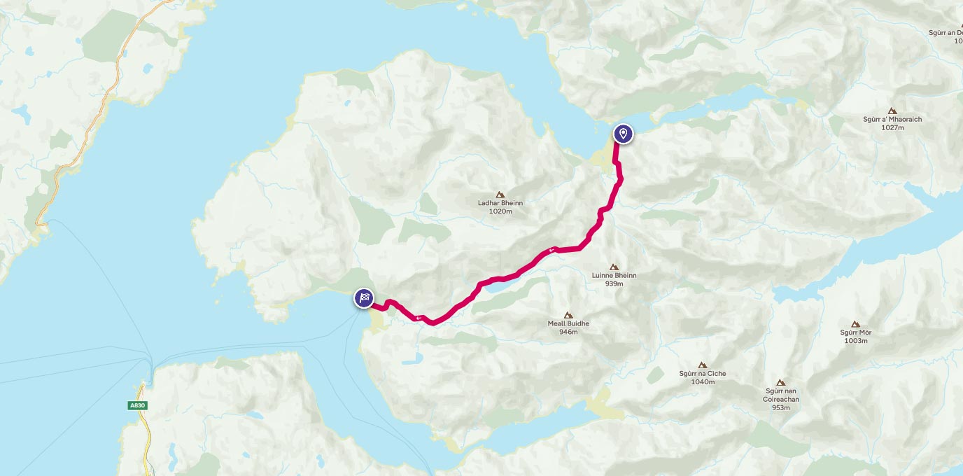
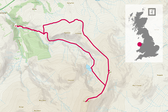
Geal Chàrn Circular Route – 926m Munro
Summary: A rather boggy circuit of Geal Chàrn from Spey Dam.
Access: Easy by car from the minor road from Laggan with plenty of parking at Spey Dam.
Distance: 9.8 miles
Time: 5 hours
Difficulty: Very Difficult
Suitability: Requires experience navigating over rough ground without tracks; avoid in wet weather or when the Markie Burn is in spate.
With the ridge of high pressure continuing to sit over northern Scotland throughout the first two weeks of November, we made a last minute decision to ‘bag’ another Munro under clear skies. The Munros are the 282 mountains in Scotland over 3,000 feet and you’ll find eager hillwalkers out every day of the year bagging another one to add to their tick list.
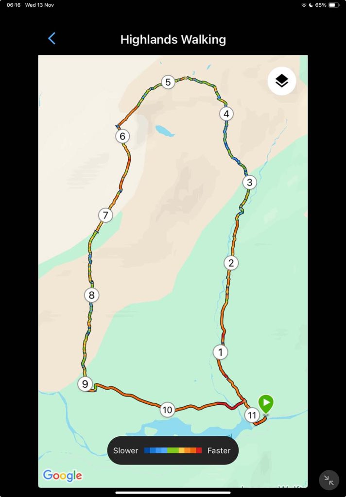
There are several options to climb Geal Chàrn, the westernmost of several Munros in the Monadhliath range. The most popular route one is an out-and-back route from Garva Bridge, but today we wanted a circular walk, so started further to the east at Spey Dam. The parking area at Spey Dam is easy to find. Having turned off the minor road at Laggan, it’s a couple of miles down a narrow, single track road to a parking area just before the road turns left over the river Spey. The dam is an obvious feature and there is room for several cars to park just in front of it.
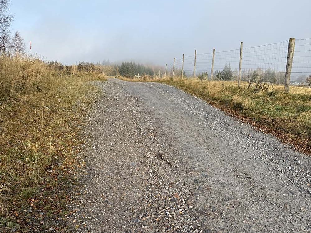
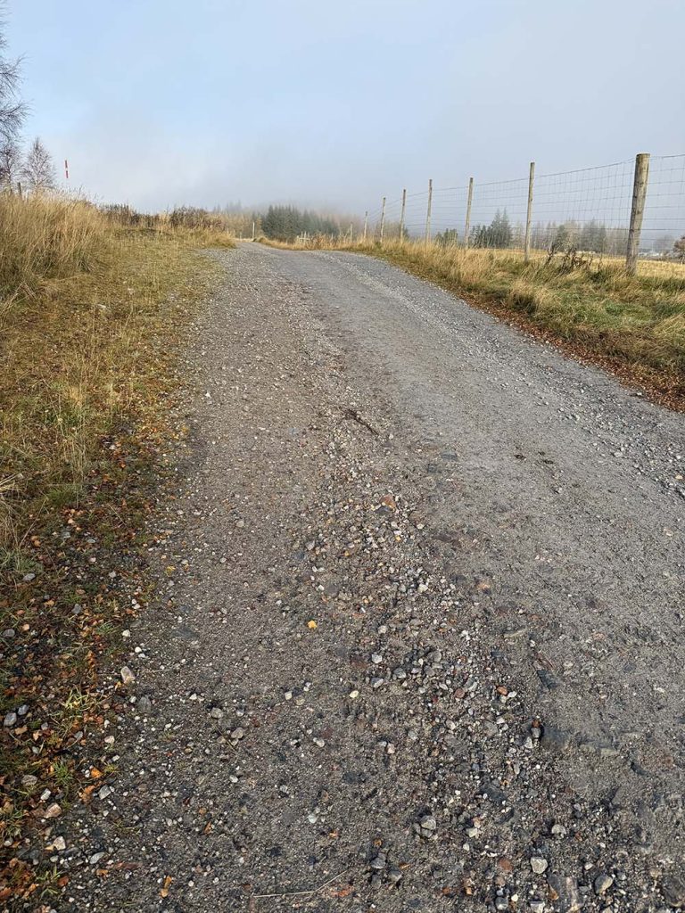
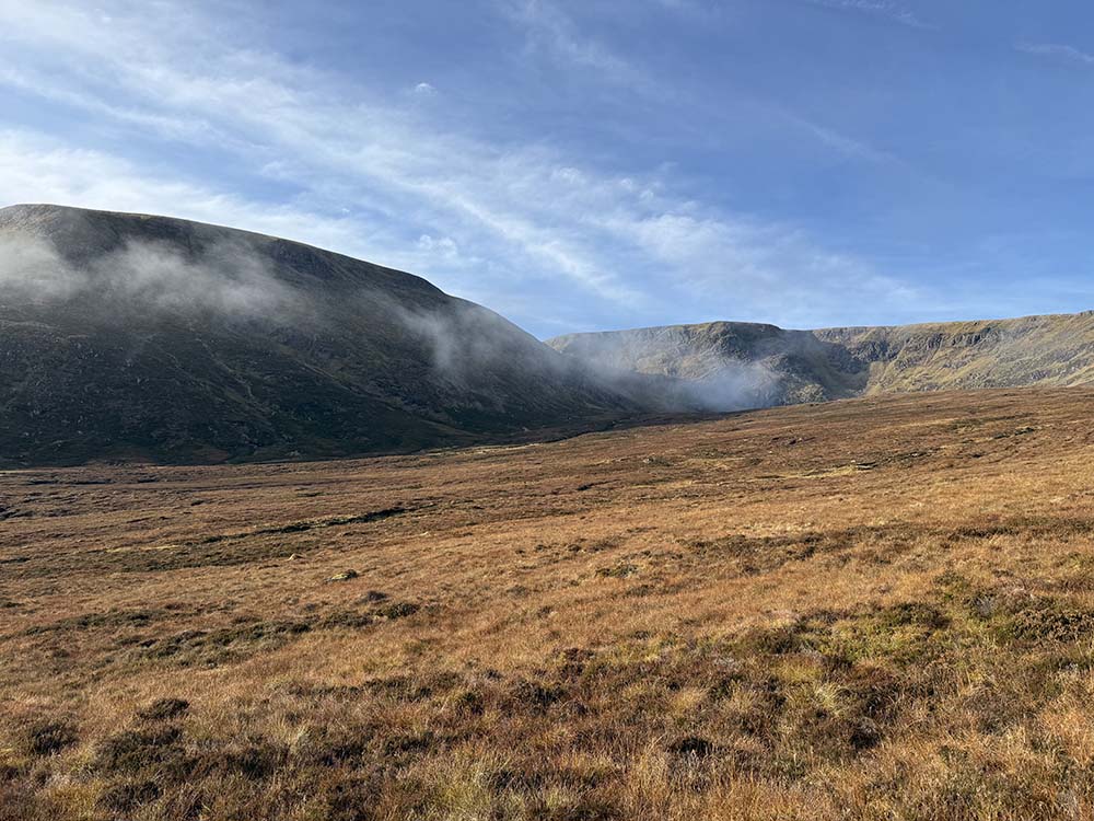
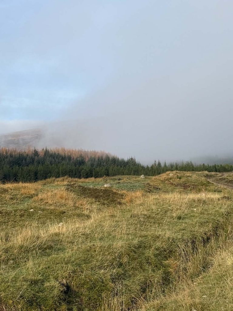
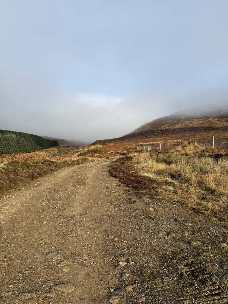
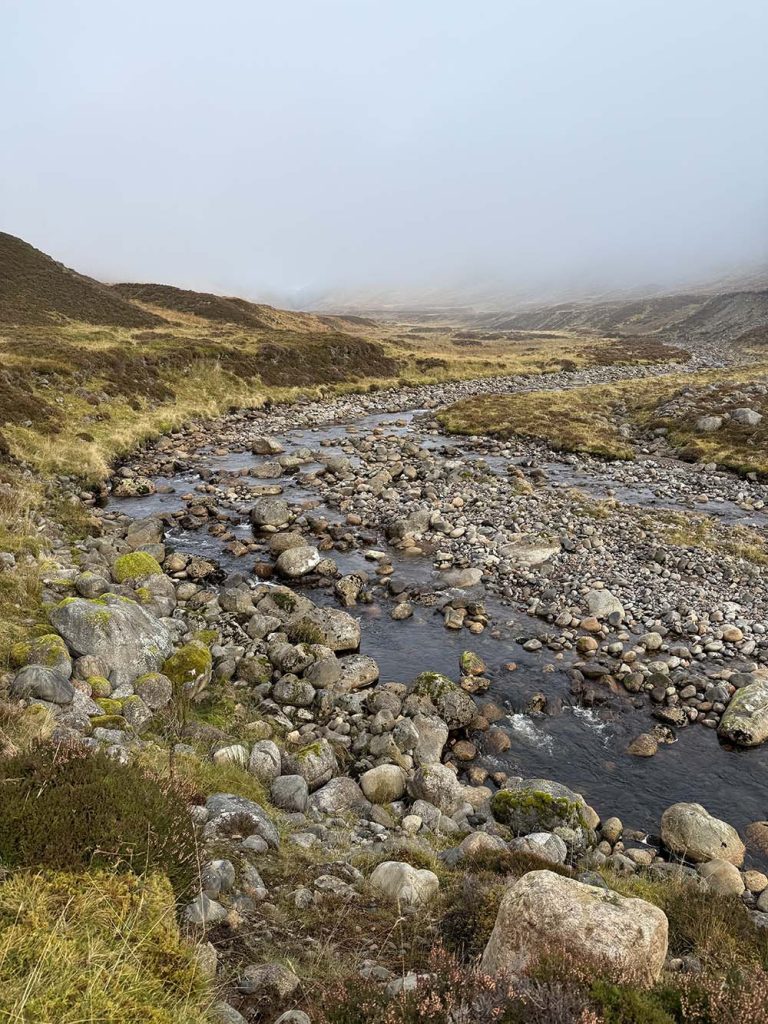
It was just 4 degrees setting out; the damp from the river causing the mist to billow around us. From the parking area we headed up the gravel road to the east of the Markie Burn for about 2 miles. As we climbed gently, the mist started to lift and we could see bright blue skies and sunshine; just what we’d been hoping for. Listening to the occasional stag bellowing in the hills above, we checked our route and looked for our waymarker to cross the Markie Burn.
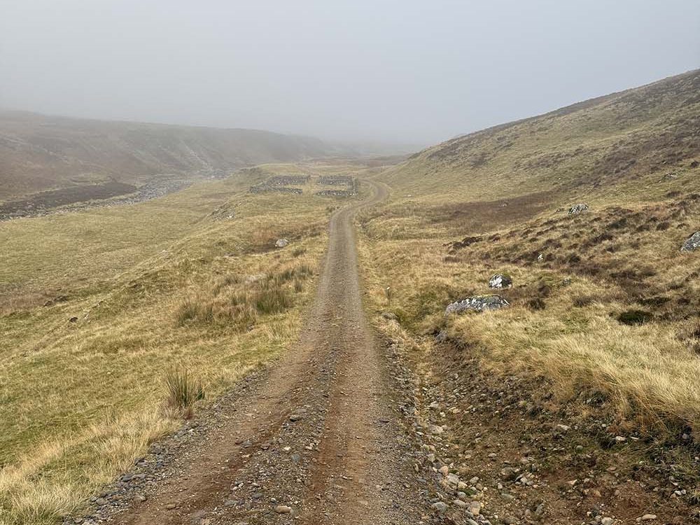
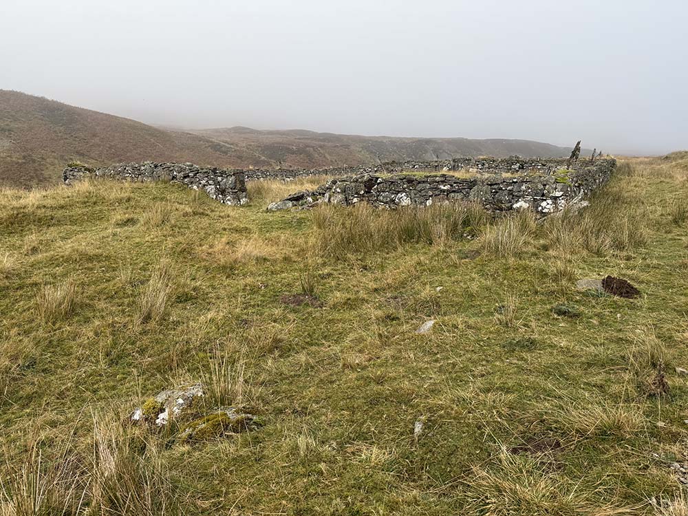
We could see a sheep pen down next to the river and what looked like a decent crossing point above that. We could have carried on along the gravel track a bit further and accessed a crossing point just opposite the confluence with Piper’s Burn, but on this occasion we headed down to the river early, crossed over and picked our way up the far side until we reached Piper’s Burn.
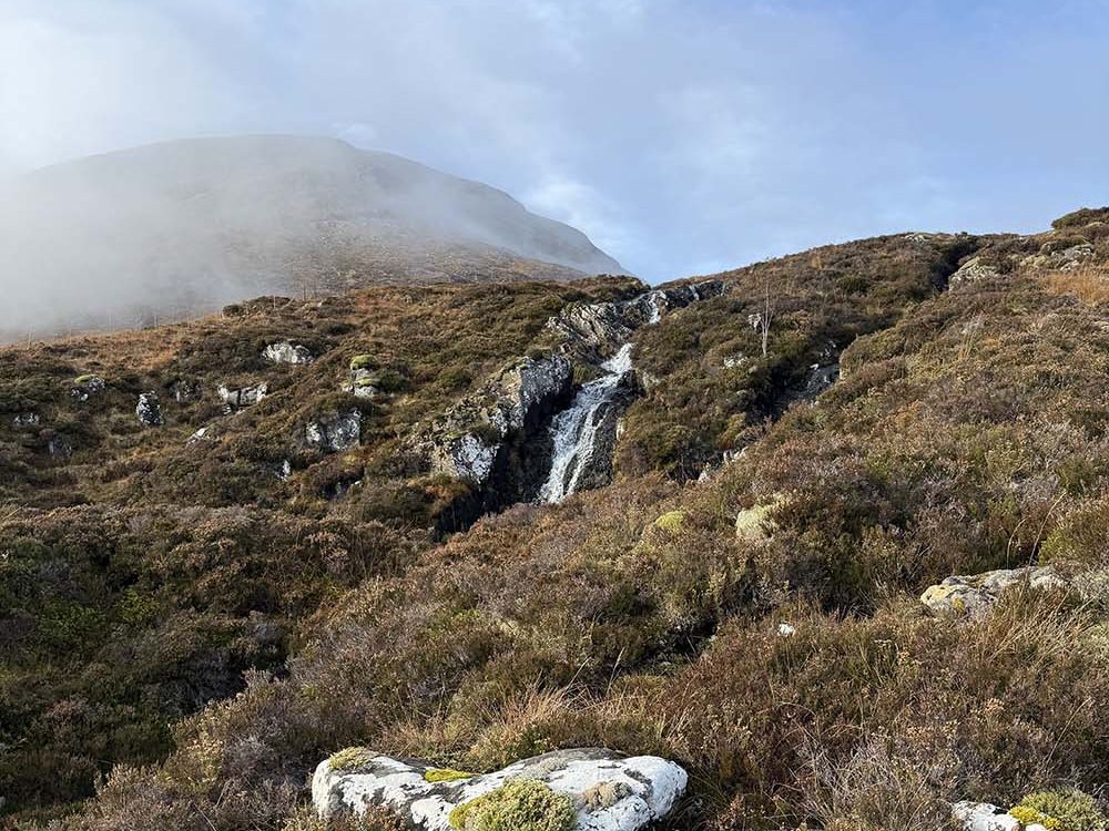
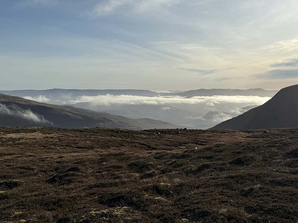
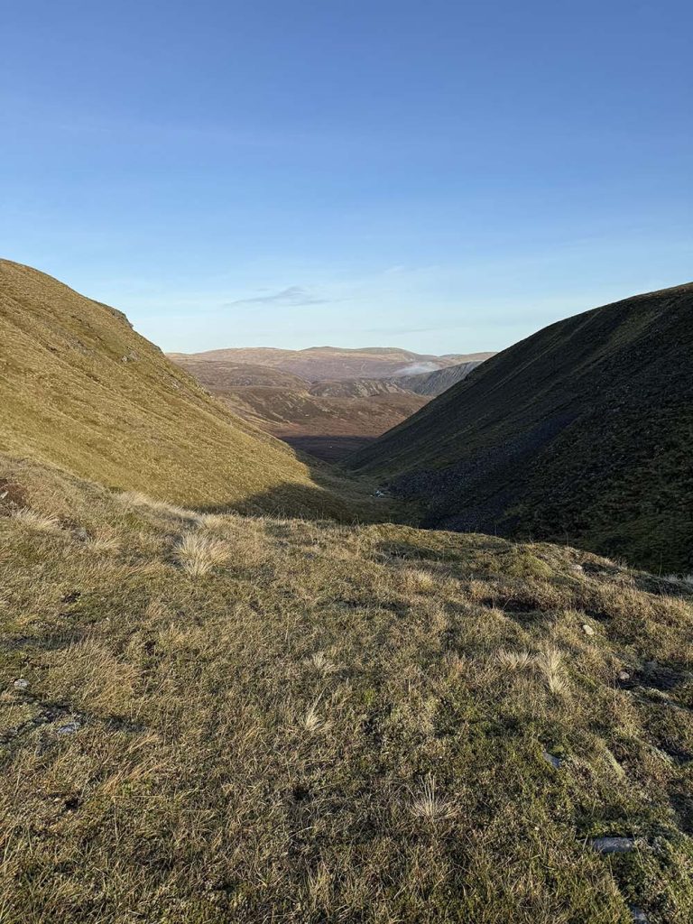
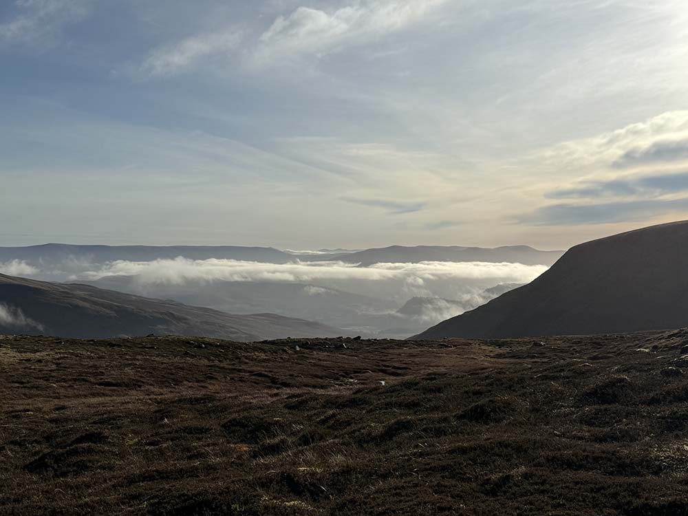
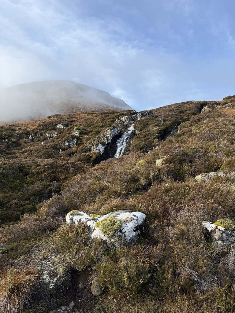
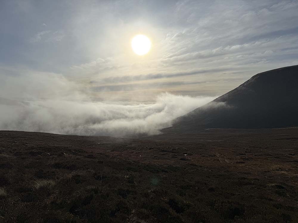
We then followed Piper’s Burn in a northwesterly direction, climbing steeply now through rugged terrain along the steep-sided burn. The autumn colours, picked out in the occasional rowan tree with jewelled berries still glistening in the sunshine, kept our attention away from the effort it took to ascend. Before long, we had reached the waterfalls and looked back behind us to see the clouds sitting in the glen below.
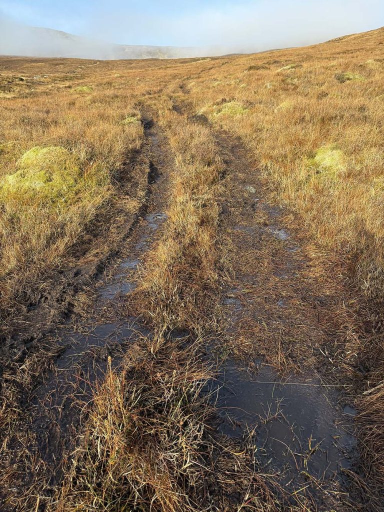
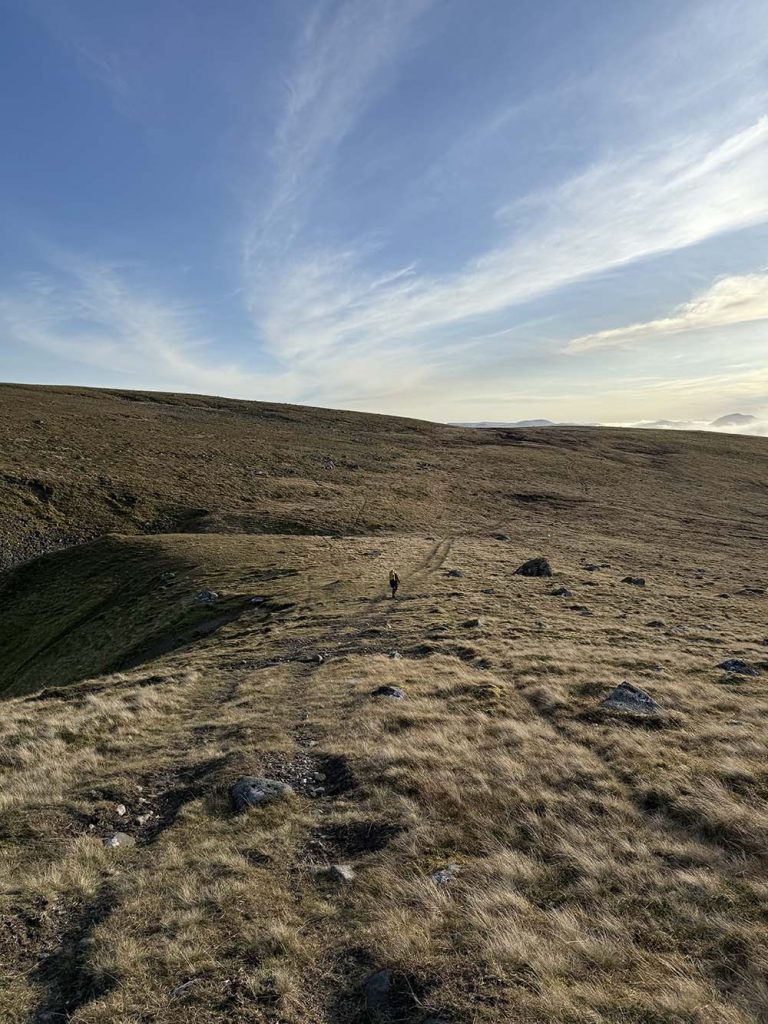
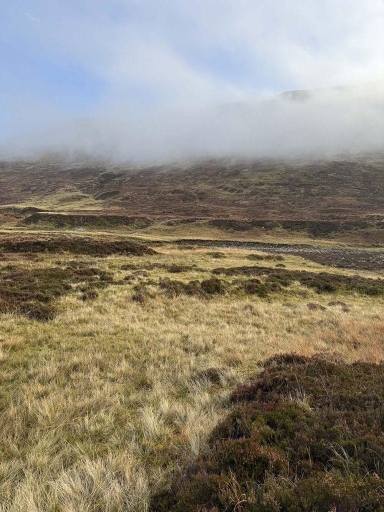
From the waterfalls we headed slightly away from Piper’s Burn in a more northerly direction, following an ATV track at times, and heading for the lowest point on the ridge. There is no real path across this section and it is very boggy underfoot.
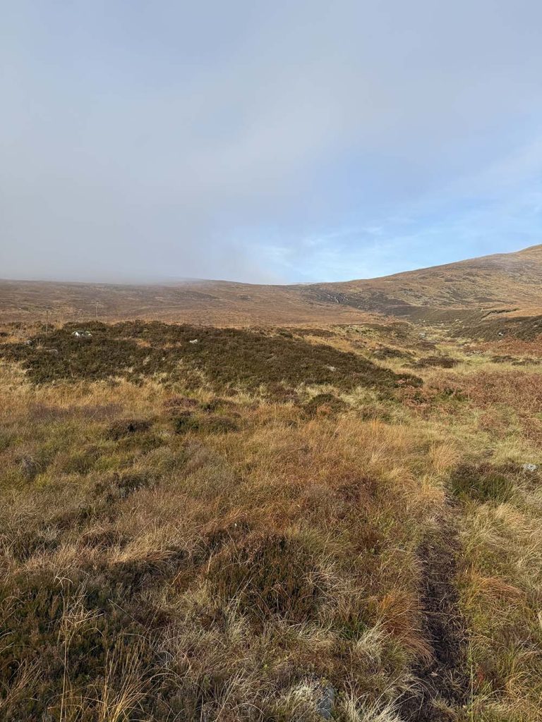
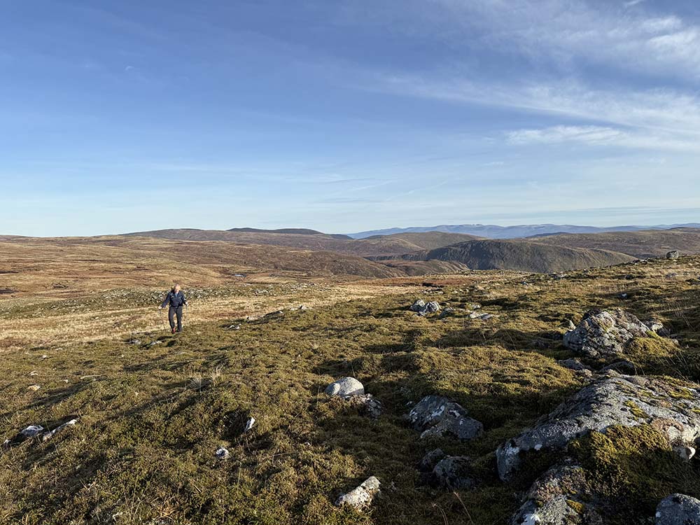
It would be a more significant challenge in poor visibility. Keeping our focus on our chosen point on the ridge, we continued climbing. Step after squelchy step, we slowly gained the ridge. It was something of a disappointment to find that the terrain did not get any drier as we then turned followed the ridge up towards the summit of Geal Chàrn. Leaping from tuft to tuft, we threaded our way through the peat hags and soggy, boggy, ground.
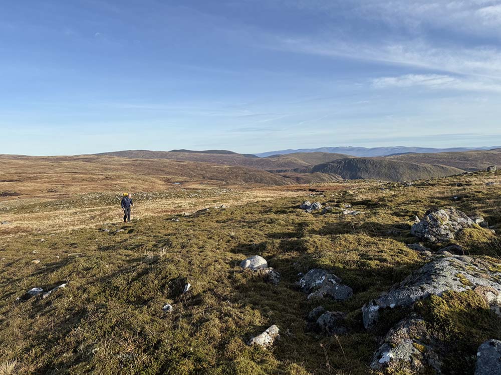
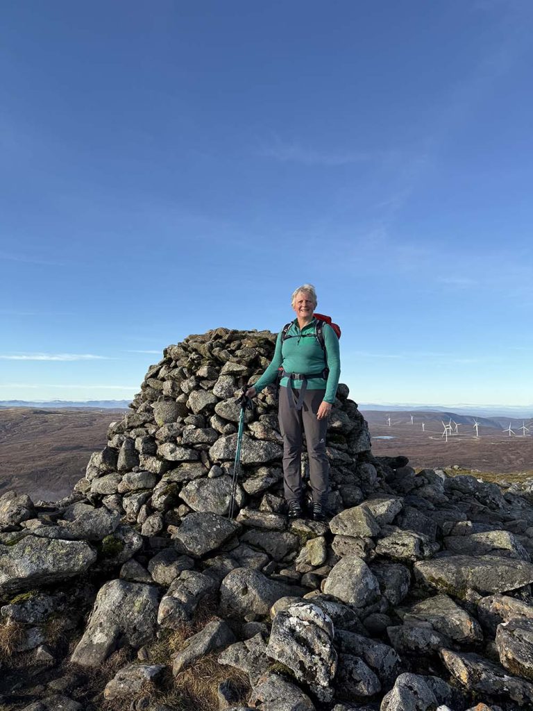
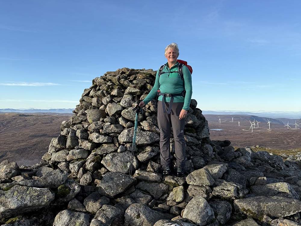
Eventually, the terrain became firmer, and we could see the summit cairn ahead of us. It took three hours to the top. Time for a well-earned cup of coffee and a snack to keep us fuelled for the descent.
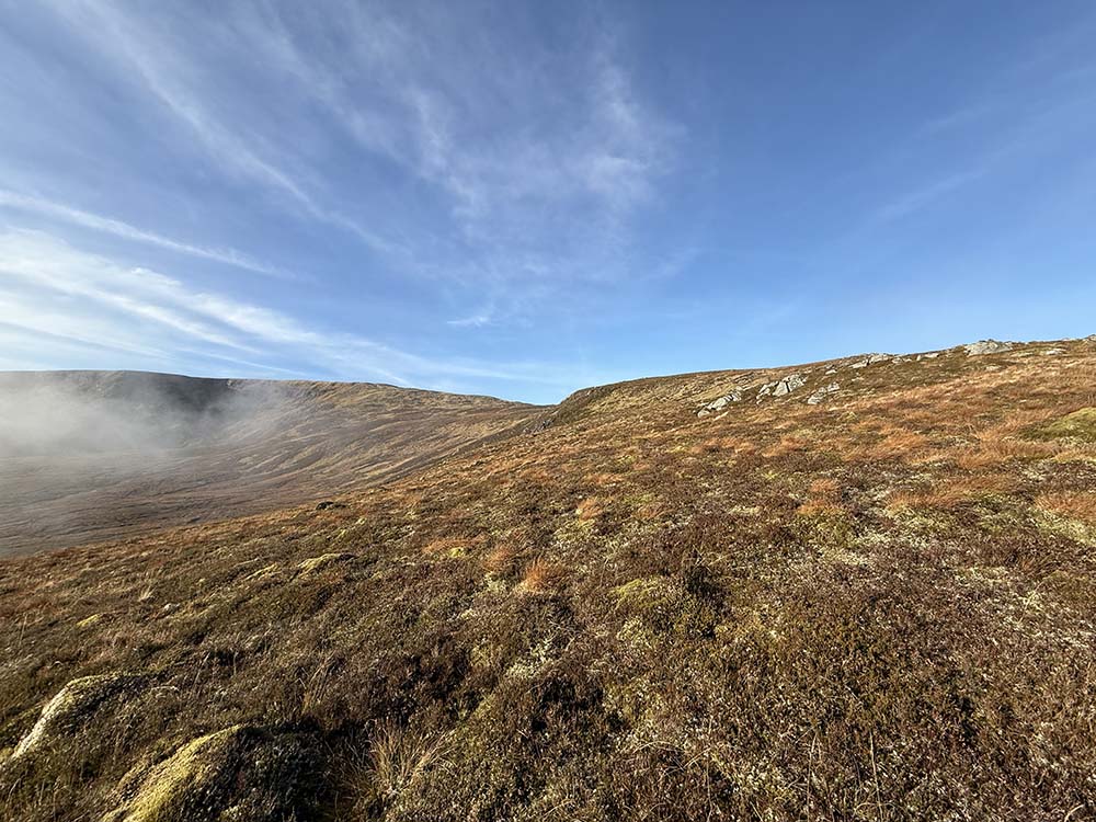
From the summit, it would be easy to get distracted and follow the obvious path heading south west. However, that’s the route down to Garva Bridge and wasn’t our destination today. Instead, we struck out in a south easterly direction with no real path to follow, heading towards the glacier-carved bealach and the notch above Lochan A’ Choire.
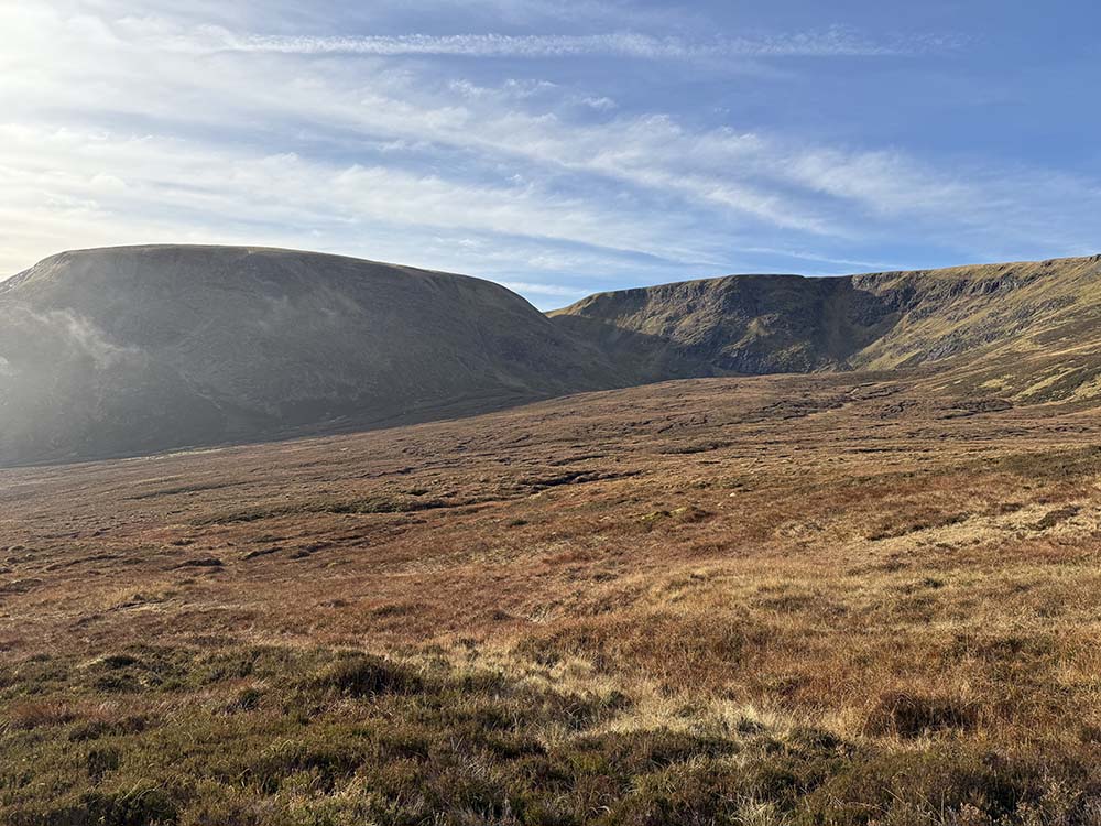
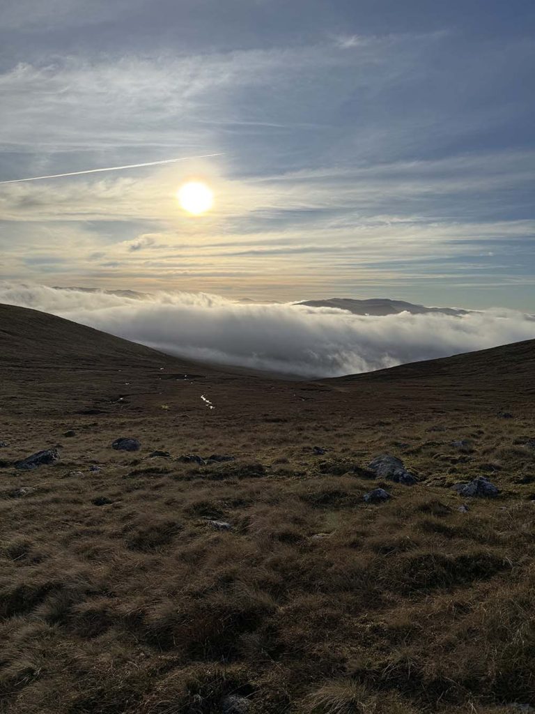
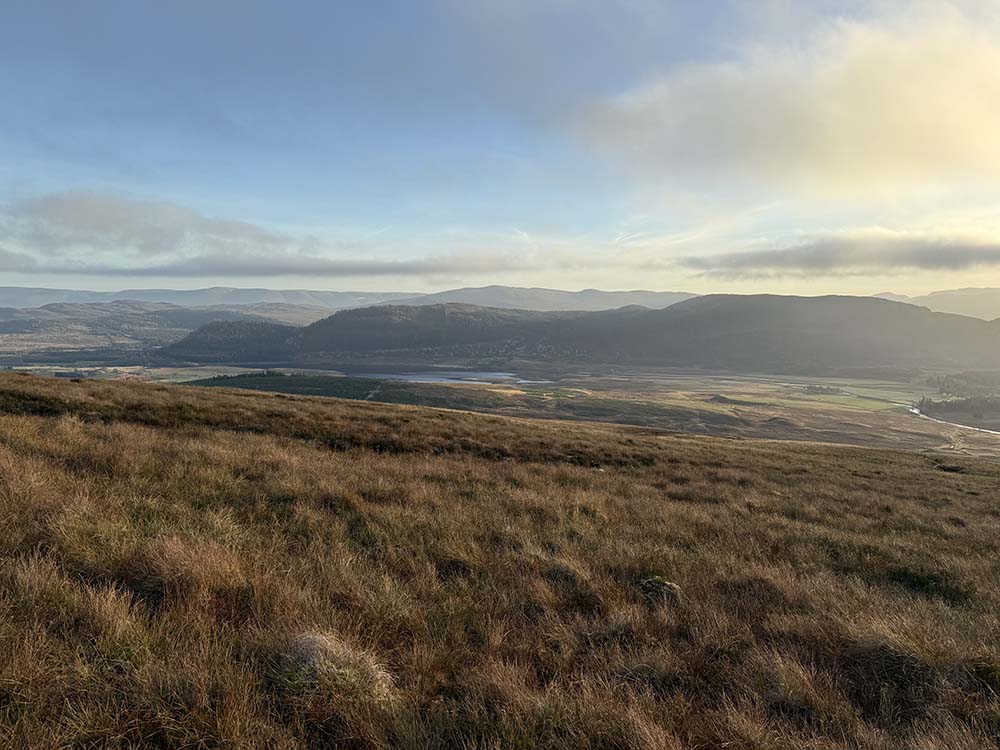
From there we headed towards the summit of Beinn Sgiath (887m) initially, until we could see the shape of the ridge falling away to the south west and then contoured round in an anti-clockwise direction. This was another section of pathless terrain, the low sun lighting up the pools and water that sit across the landscape. Once again, we picked a feature in the distance to focus on but this time, although still boggy, it was a lot drier than the route up. We were heading for the western end of the glacial feature An Dirc Mhoir where we then descended a short rocky steep section.
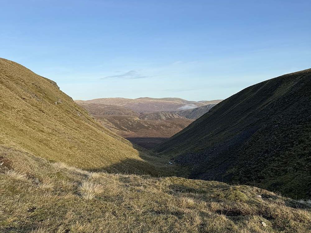
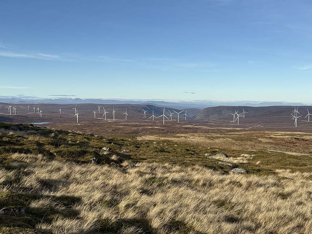
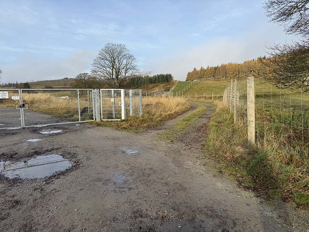
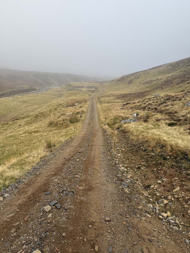
Once through the rocks, we turned south and could now see flatter ground to the south, still some distance away. Using the twin burns of Allt A’ Chruaidh Ghoirten and Allt An Dirc Mhoir as handrails to our east and west, we continued our steady descent. We then picked up the gravel track that runs east-west and alongside the body of water above Spey Dam for our last couple of miles back to the car, arriving back at the car park just as the light was starting to fade. That track was not evident on our paper OS map, but was on the app, and we were very grateful that we had firm foundation under our feet for that last couple of miles. This new track, presumably put in to access the windfarm you can see from the summit makes this circuit feasible. The alternative is to come over the summit of Beinn Sgiath and drop down a steeper slope to then cross over the Markie Burn and pick up the route you took on the way out which is the route in the Scottish Mountaineering Munro book.
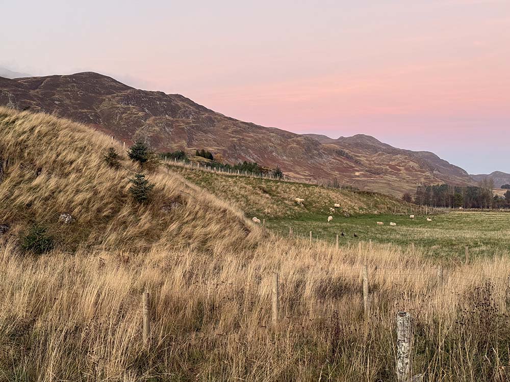
This is a route that requires confidence in map reading and using features to navigate very boggy terrain. There are no real paths once you leave the Markie Burn until you reach the gravel track alongside the Spey towards the end of the day. It feels remote and wild and you are unlikely to see many other people out here, the bulk of people taking the more straightforward route up from Garva Bridge. The crossing of Markie Burn could be difficult to impossible when in spate and is not advised in high water.
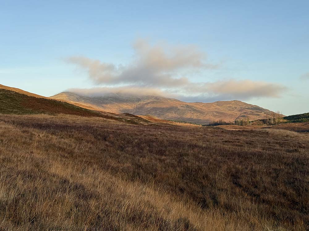
It is defintely worth saving this circuit for a time when there has not been too much rain in the preceding week or so. Having left the car around 10am, we were back with our boots changed and sipping the last of our flask of tea by 4pm. The route took us 6 hours in total, including stops; around 5 hours walking time. By the end we were a bit damp round the edges but very satisfied with our route.
Geal Charn Circular Gallery
By Suzanne Anderson
Suzanne and Nick Anderson are the Telemark Travellers. They share their passion for Telemark Skiing at www.telemarktravellers.com along with plenty of interesting articles about their travels.
