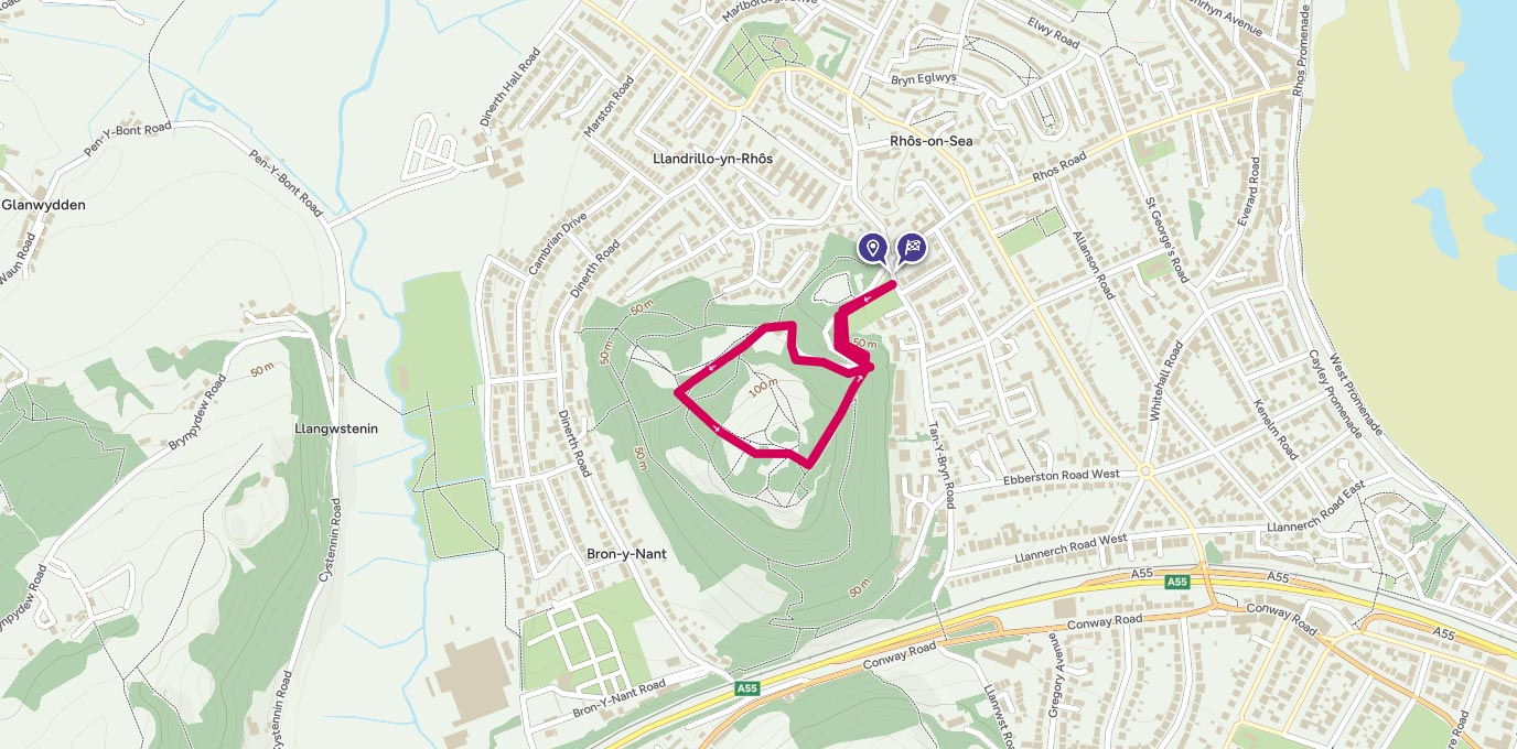
circular walk to Bryn Euryn where you’ll climb through woodland and discover the impressions in the grass of an Iron Age hill fort and bag a trig pillar.
SH 834 801
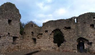
From the car park take the track heading west. You’ll soon emerge into a clearing where the ruins of the old mansion – Llys Euryn are in front of you. The giant fireplace and chimney still remain as do many of the walls and foundations.
From here waymarkers will guide you for the Summit and Woodland Trails. You’ll pass through a gate, then the two trails split. Take the one for the summit and follow it uphill. There are benches on the way to take a rest and enjoy the views.
1 km
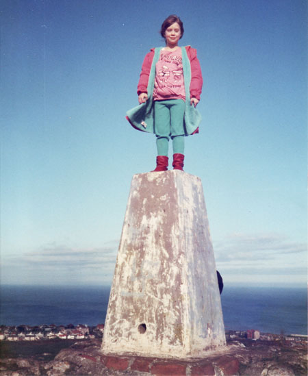
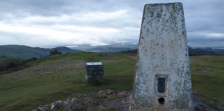
Finally you’ll reach the summit where an interpretation panel tells you about the impressions of the old hill fort and how this spot was used as a lookout in WW2. You’ll also find the trig pillar – the perfect place to pose for photos as you enjoy the views of the coast one side and the mountains on the other.
To leave follow the track as it takes you back downhill, through the forest and back to the start.
1.5 km SH 834 801
1.5 km / 1 miles
By Phoebe Smith
Phoebe Smith is an award-winning Travel, Adventure and Outdoor Journalist. She is author of several books on the outdoors including Extreme Sleeps: Adventures of a Wild Camper, Wild Nights: Camping Britain’s Extremes, Book of the Bothy and Wilderness Weekends: Wild Adventures in Britain’s Rugged Corners.
