The New Forest, famous for its ancient heathland and wild ponies, is full of woodlands and wildlife, making it a perfect place for walking.
SU 271 029
Aiming to make the most of the nice weather that was forecast, a group of us decided to head to the New Forest in Hampshire to do a short walk around the much-loved national park.
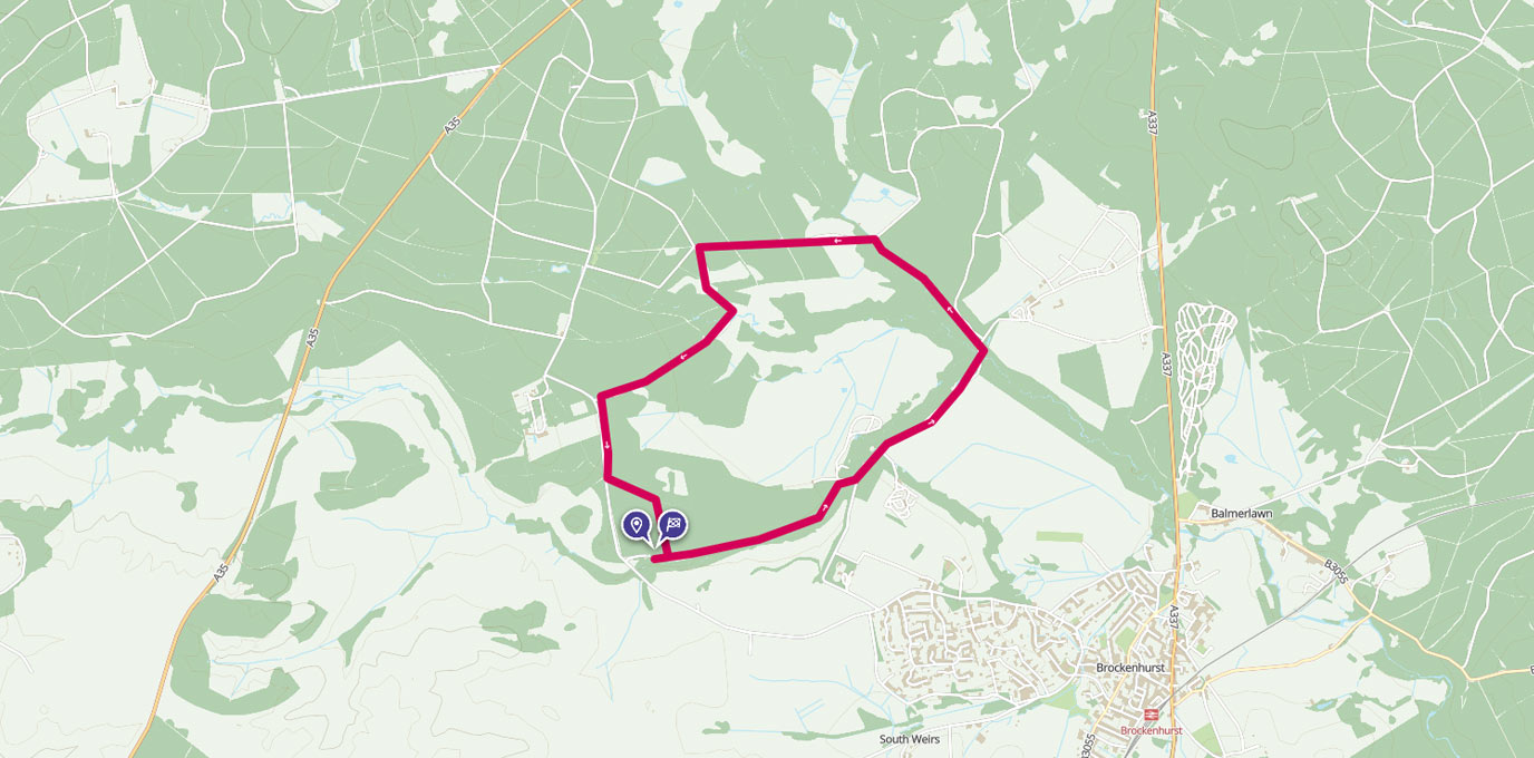
Using our OS Maps subscription, we found a suitable route near Brockenhurst. I downloaded the OS Maps app to my phone, saved the area of mapping I needed for the walk (in the inevitable case that I lost my phone signal amongst the trees) and downloaded the walking route to my account.
The route started from a free public car park, Puttles Bridge, which was accessible from Rhinefield Road.

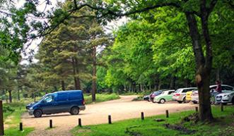
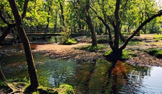
So, armed with the route and my four legged friends, we were ready to explore with OS Maps as our back up navigation guide. The first stretch was easy – a marked footpath along Ober Water, but then we hit a questionable T-junction. A quick look on the app, and we knew to go left.
The path eventually leaves the water and follows through some woodland before you end up at the vast opening of Black Knowl. This is the kind of postcard scenery you can come to expect from the New Forest with ponies grazing across endless ancient heathland (which is also a protected area to allow rare ground-nesting birds to breed).
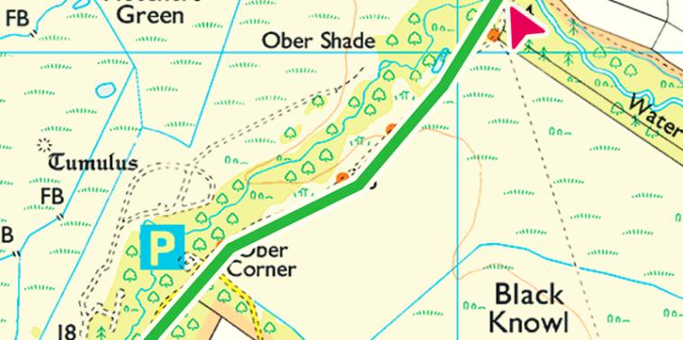
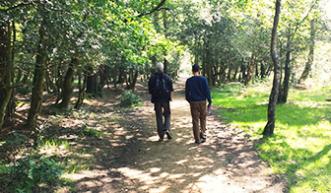
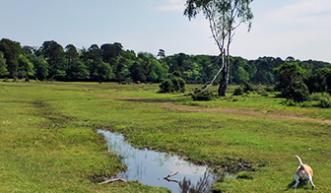
Uncovered by the tall trees, we started to feel the warm sun beating down on us and I found myself wishing we were still walking with the river so that I could have a sneaky paddle. We took a left at Bolderford Bridge, and entered the welcoming shade of the forest again.
Our path took us through the Wildlife Conversation area near Poundhill. Due to the rare and unique habitat that can be found in the are, the New Forest National Park takes a lot of care with its conversation efforts. There were some slightly over grown areas on the path, as well as fallen trees which made for a fun assault course for both humans and dogs.
We were well over half way now and had been walking for around 90 minutes. Our pace was slower than normal but we’d been talking, enjoying the surroundings, and most importantly stopping and happily snapping away with our cameras. #Selfie?!
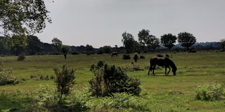

The weeks leading up to our walk had been wet. Very wet. Areas of Britain had been on severe weather warnings as a result. Needless to say we hadn’t actually considered this when we choose a riverside walk (!), and when we came out at ford (though only affected by heavier downpours) crossing Fletchers Water, we had an unanticipated game of stepping stones across the water.
The last part of the walk takes you along the Rhinefield Ornamental Drive, a narrow road that, during Spring, is lined with a mixture of large rhododendrons, azaleas and some very tall trees, and past the beautiful Rhinefield House – formerly a private country house, now a high-class hotel that is a popular destination for forest weddings.
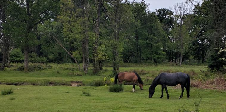


As we came off the drive, we walked down a path that was lined with recently cut fir trees – this must be the equivalent of a red carpet for forest walking! The path brought us out in the car park, and our 7km circular walk in the forest was complete. There had only been two occasions where we’d gone slightly off track, and OS Maps had to tell us to check where we were going.

All in all, a successful outing! The route itself was flat, and could have been adjusted in length to suit different walking abilities. So if you fancy seeing plenty of ponies and enjoying some picturesque views of the forest – try this walk for yourself!
SU 272 029
7.0 km / 4 mi
