Devil’s Dyke Walk – Sussex South Downs
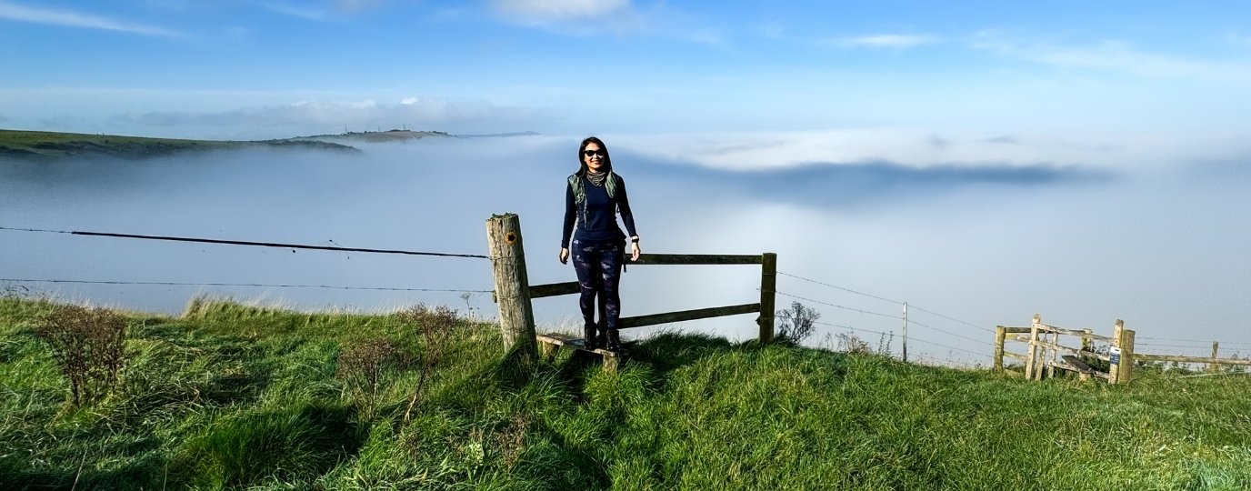
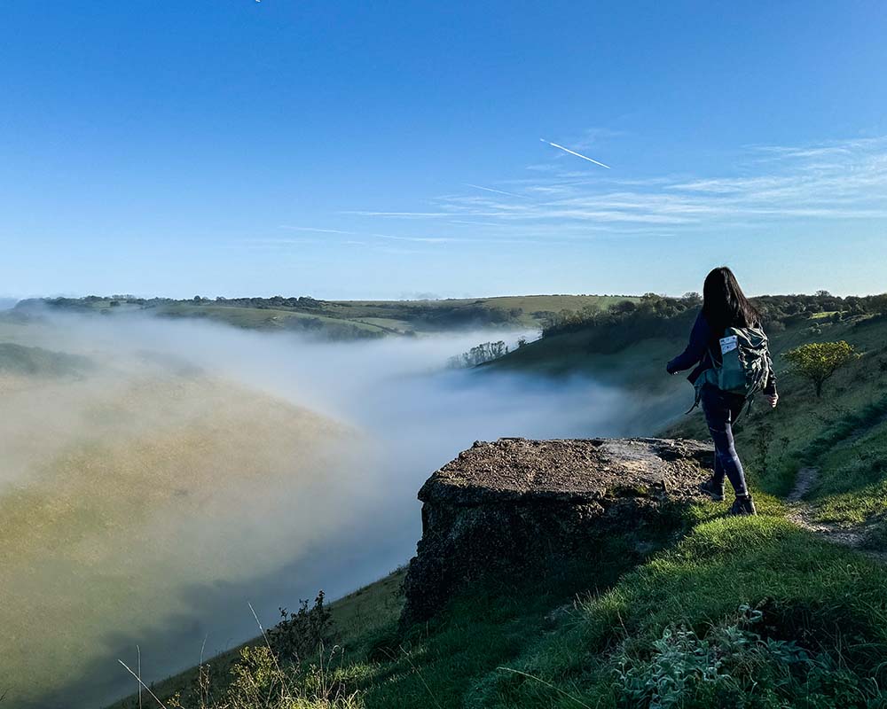
This circular scenic walk around Devil’s Dyke has plenty of dramatic landscapes of the South Downs, and countryside views. From early morning cloud inversions to stunning sunset skyscapes, it’s the perfect place to reconnect with nature.
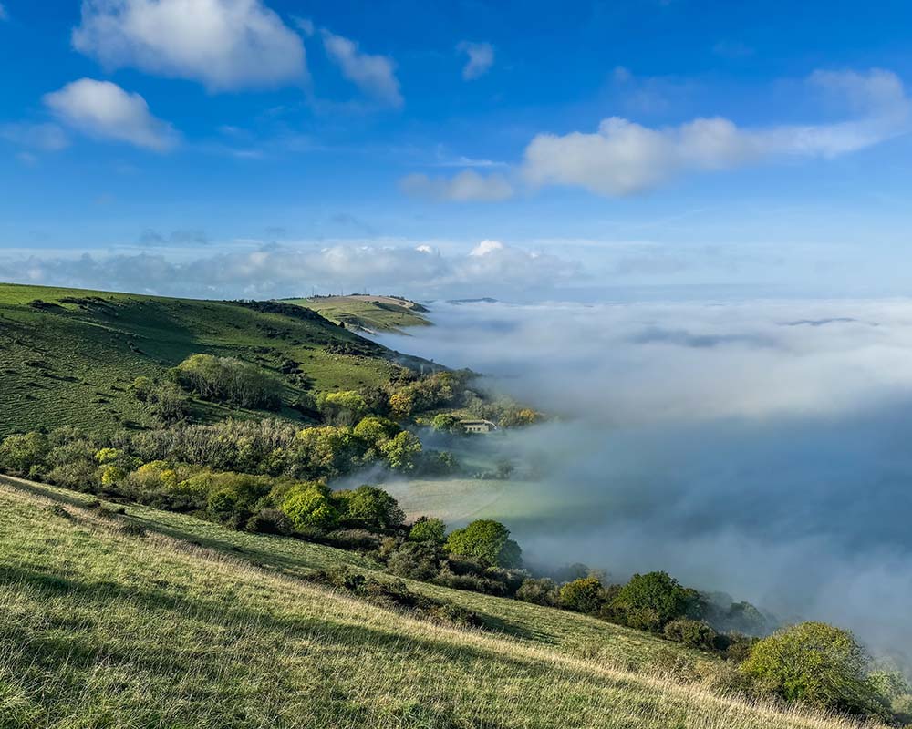
From the car park, enter the gate from the road, follow the path and soon enough, Britain’s longest, deepest, and widest dry valley opens up before you.
Legend has it that the Devil dug the valley to drown Christian parishioners. If you follow the bottom, you’ll find some humps which are said to be his burial site. Rumour has it, running backwards around them seven times while holding your breath will make him appear!
Follow along the top valley edge, taking in stunning views of Sussex, which eventually lead to Saddlescombe Farm. Once owned by the Knights Templar in the 1220s, it’s now looked after by National Trust. Highlights include a working forge, medieval farm buildings, and the donkey wheel, offering a glimpse into simpler times. Don’t miss the café at the weekends for refreshments and some fresh local produce to take home.
Continue on towards New Timber Hill, the highest points of the walk, and stop to take in the panoramic views of the South Downs – on a clear day, you’ll spot the sea shimmering on the horizon. From there, return along the opposite side of the valley you came from, taking in a different perspective of South Downs rolling hills and patchwork fields. Continue on towards Truleigh Hill, passing the pub, and the Fulking Escarpment soon comes into view.
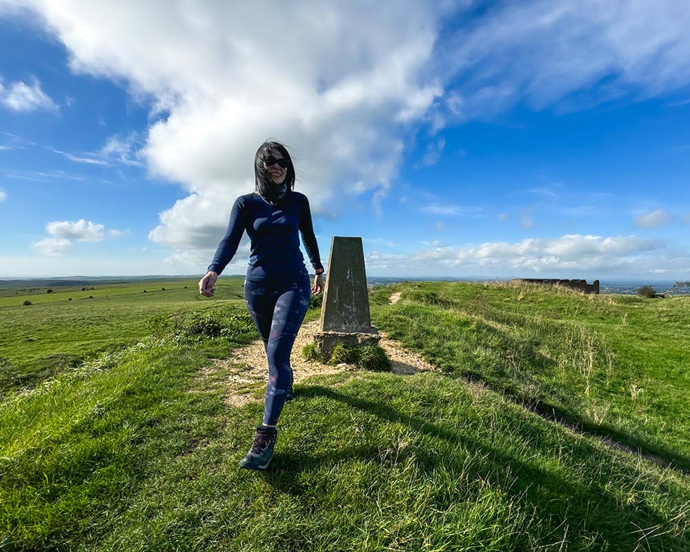
Circle back to Devil’s Dyke, admire the sights one final time from atop of the Iron Age hillfort and then bag the trig point to complete the walk.
This South Downs hike is the perfect combination of nature and history!
📍 National Trust Devils Dyke
🚎 77 (21 min to Brighton Station)
🅿️ Car Park, BN1 8YJ
🗺️ OS Explorer OL11
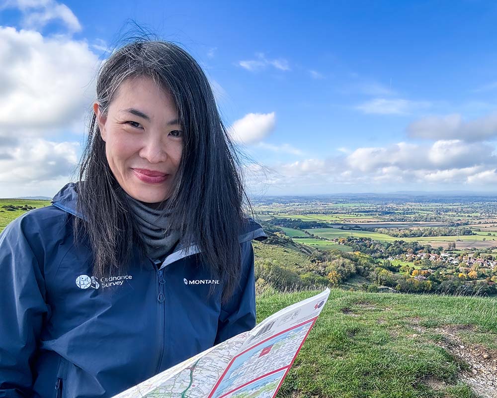
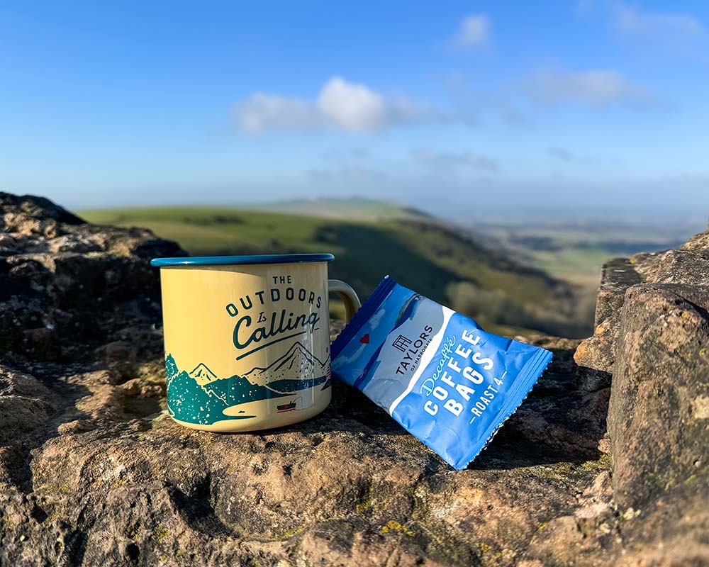
This route guide is part of the Taylor’s of Harrogate Coffee Bag Adventures Collection and was created by OS Champion May Cheung

EXPLORE THE
OS Shop
We are with you every step of the way. Shop our trusted walking and hiking maps and guidebooks so you can explore the outdoors with confidence.
Go to the shop