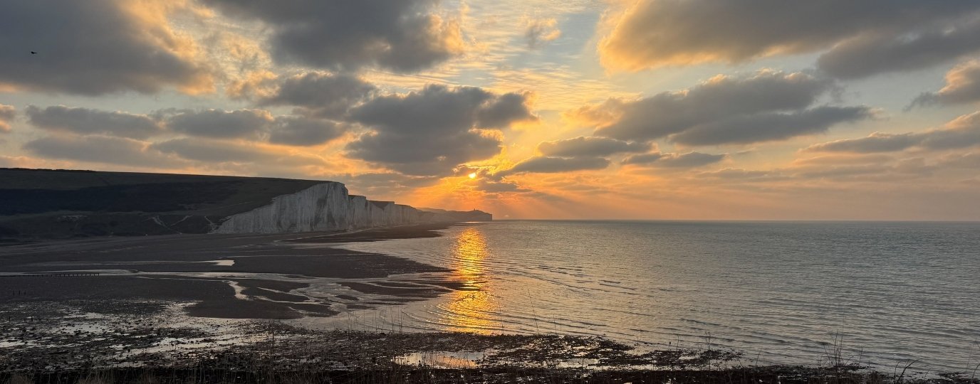
Deeside Delights!
Starting from the picturesque town of Ballater this route takes in the hidden gems of Royal Deeside with rivers, ruins, lochs and mountain views. We start by leaving Ballater Station behind on the old railway line, now a multi-use path called the Deeside Way. This path takes us past the Tullich Kirkyard, the ruins of a 15th Century Kirk and symbol stone collection.
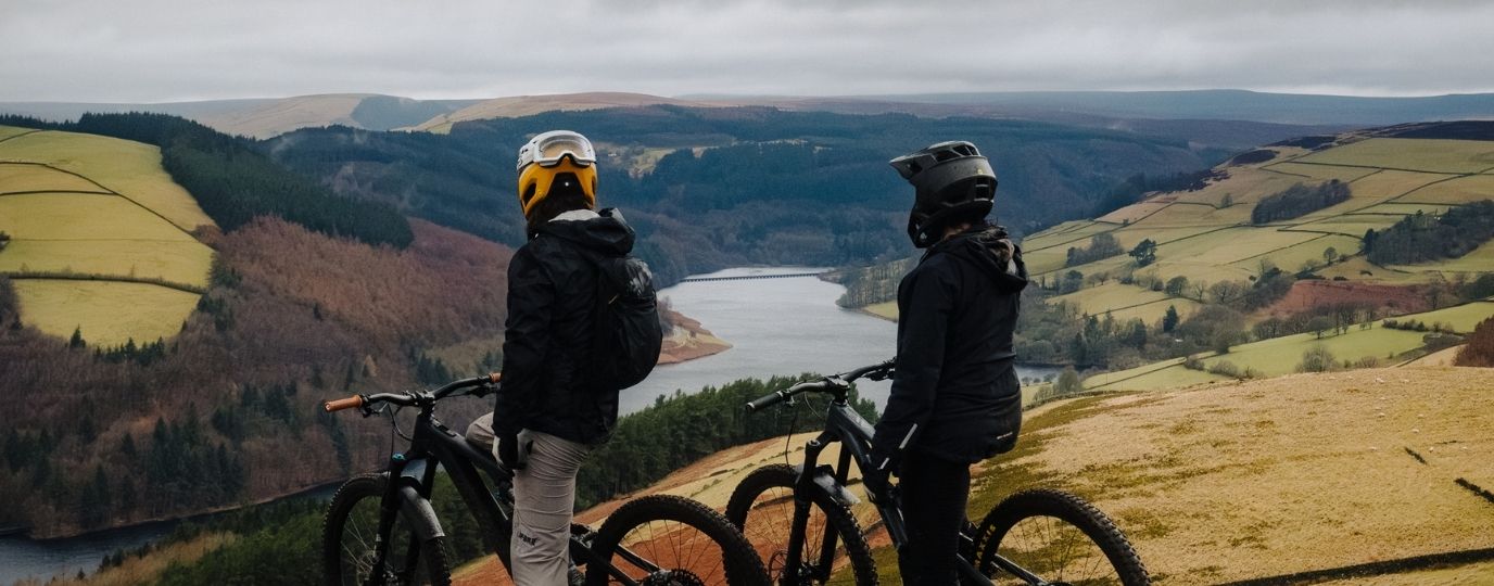
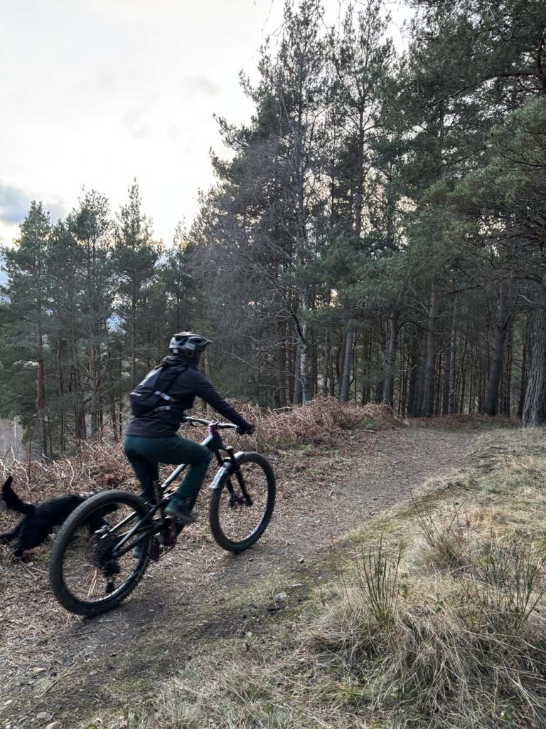
It’s worth popping in to the Kirkyard as you cycle past. Reaching Cambus O May we turn off the Deeside Way, cross the main road and head up in to the pine forest. Beautiful forest paths lined with heather and blaeberries guide our way. As you climb higher admire the views that appear of the often snow clad munros of Lochnagar and the Cairngorm Mountains.
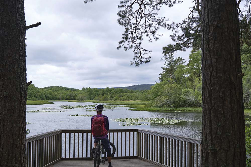
At the top of the climb you can choose to take a single-track descent with roots and rocks to Burn o’ vat or down the easier double-track (the latter is provided on this route). From the visitor centre you can walk your bikes to The Vat, an impressive geological pothole. From Burn o’ Vat we go deeper into the Muir of Dinnet National Nature Reserve and traverse alongside Loch Kinord.
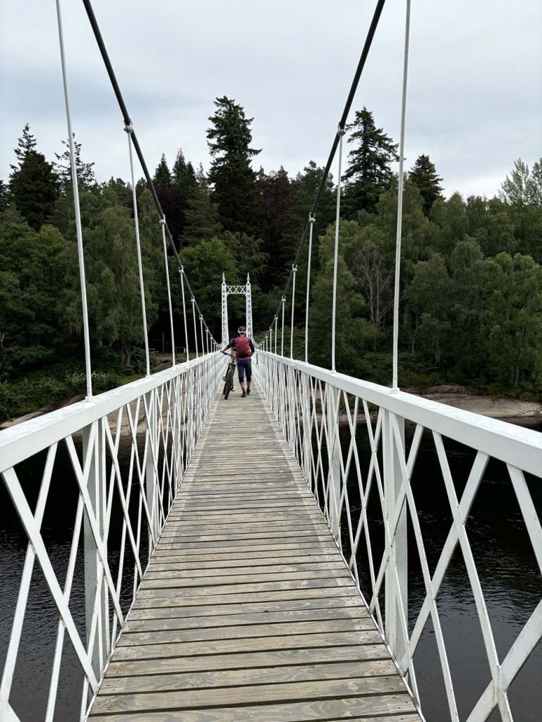
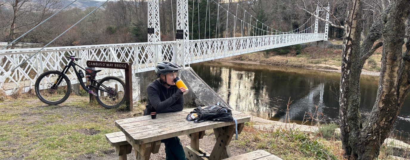
This is stunning singletrack along the loch side with some roots and rocks. If you’re lucky you might even see osprey diving into the two lochs. The route then enters the village of Dinnet and re-joins the Deeside Way heading back in to Ballater. Stop a while at the Cambus O’ May suspension bridge, you could even go for a wild swim or it’s a perfect spot to get the flask of Taylor’s Coffee Hot Lava Java out and rest a while.
If you’re short on time you can head back to Ballater on the Deeside Way or take your bike over the bridge and join the lovely path through Torphantrick Wood, past the ruins of the fermtoun (remains of an old farming settlement) and then along the River Dee back into Ballater.
This route guide is part of the Taylor’s of Harrogate Coffee Bag Adventures Collection and was created by OS Champion Katie May

EXPLORE THE
OS Shop
We are with you every step of the way. Shop our trusted walking and hiking maps and guidebooks so you can explore the outdoors with confidence.
Go to the shop